Filters: Tags: Tacoma (X) > partyWithName: U.S. Geological Survey (X)
14 results (48ms)|
Filters
Date Range
Types Contacts Categories Tag Types Tag Schemes |

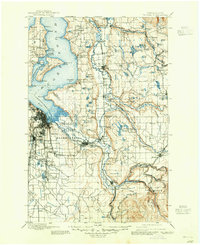
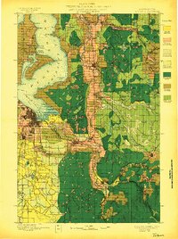
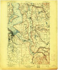
USGS Historical Quadrangle in GeoPDF.
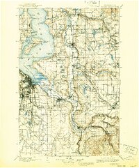
USGS Historical Quadrangle in GeoPDF.
Album caption: Tacoma district force, taken in district office. Left to right, Lasley Lee, Office Engr., John McCombs, Field Asst., Glenn L. Parker, Dist. Engr., James E. Stewart, Asst. Engr., Leslie D. Carson, Office Asst., Carl G. Paulsen, Asst. Engr., Paul G. Mayer, Clerk. Aug. 1916. No index card.

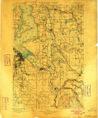
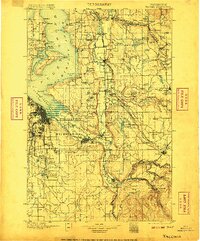
USGS Historical Quadrangle in GeoPDF.
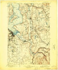
USGS Historical Quadrangle in GeoPDF.

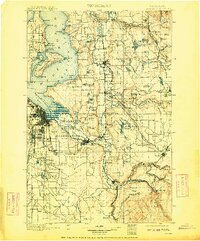
USGS Historical Quadrangle in GeoPDF.
USGS Historical Quadrangle in GeoPDF.

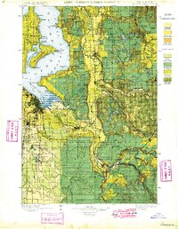
USGS Historical Quadrangle in GeoPDF.
USGS Historical Quadrangle in GeoPDF.
USGS Historical Quadrangle in GeoPDF.
USGS Historical Quadrangle in GeoPDF.
USGS Historical Quadrangle in GeoPDF.
USGS Historical Quadrangle in GeoPDF.
USGS Historical Quadrangle in GeoPDF.
|

|
