Filters: Tags: Tacoma (X)
27 results (68ms)|
Filters
|

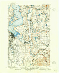
USGS Historical Quadrangle in GeoPDF.
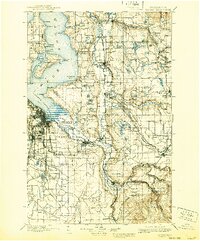
USGS Historical Quadrangle in GeoPDF.
Album caption: Tacoma district force, taken in district office. Left to right, Lasley Lee, Office Engr., John McCombs, Field Asst., Glenn L. Parker, Dist. Engr., James E. Stewart, Asst. Engr., Leslie D. Carson, Office Asst., Carl G. Paulsen, Asst. Engr., Paul G. Mayer, Clerk. Aug. 1916. No index card.
Album caption: 1850, 1851. Miscellaneous. Margaret G. Rogers, clerk, taken in Tacoma district office.in fall of 1914. No index card.
Album caption: Carl G. Paulsen, Asst. Engr., carrying meter case & 30 lb. torpedo weight. Taken from roof of Federal Bldg., Tacoma, Washington. Aug. 1916. No index card.

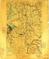
USGS Historical Quadrangle in GeoPDF.
This portion of the data release presents the locations of the temporary ground control points (GCPs) used for the structure-from-motion (SfM) processing of the imagery collected during an unmanned aerial system (UAS) survey of the intertidal zones at Puget Creek and Dickman Mill Park, Tacoma, WA, on 2019-06-03. Twelve temporary ground control points (GCPs) were distributed throughout each survey area to establish survey control. The GCPs consisted of a combination of small square tarps with black-and-white cross patterns and "X" marks placed on the ground using temporary chalk. The GCP positions were measured using post-processed kinematic (PPK) GPS, using corrections from a GPS base station located approximately...
Categories: Data;
Tags: Bathymetry and Elevation,
CHMRP,
Coastal and Marine Hazards and Resources Program,
Commencement Bay,
Dickman Mill,
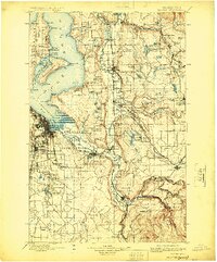
USGS Historical Quadrangle in GeoPDF.

USGS Historical Quadrangle in GeoPDF.
Album caption: Tacoma office and field force. Back row John McCombs, Lasley Lee, G.L. Parker, R.B. Kilgore. Front row: D.J. F. Calkins, Claudia Underwood, H.P. Newton. 11/8/20. No index card.
This portion of the data release presents a high-resolution orthomosaic images of the intertidal zones at Puget Creek and Dickman Mill Park, Tacoma, WA. The orthomosaics have a resolution of 1.3 centimeters per pixel and were derived from structure-from-motion (SfM) processing of aerial imagery collected with an unmanned aerial system (UAS) on 2019-06-03. The raw imagery used to create the orthomosaics was acquired using a UAS fitted with a Ricoh GR II digital camera featuring a global shutter. The UAS was flown on pre-programmed autonomous flight lines at an approximate altitude of 50 meters above ground level (AGL). The flight lines were oriented roughly shore-parallel and were spaced to provide approximately...
USGS Historical Quadrangle in GeoPDF.
Album caption: Paul G. Mayer, N.A., formerly clerk of Dist. Off. at Tacoma. Sept. 1918. No index card.

USGS Historical Quadrangle in GeoPDF.
Album caption: Miscellaneous. District Force, Federal Bldg., Tacoma, Wash. A.H. Tuttle, office engineer; G.L. Parker, Dist. Engr.; M.G. Rogers, clerk; J.T. Hartson, Field Asst.; F.B. Story, Asst. Engr. April 1914. No index card.
This portion of the data release presents digital surface models (DSM) and hillshade images of the intertidal zones at Puget Creek and Dickman Mill Park, Tacoma, WA. The DSMs have a resolution of 2.5 centimeters per pixel and were derived from structure-from-motion (SfM) processing of aerial imagery collected with an unmanned aerial system (UAS) on 2019-06-03. Unlike a digital elevation model (DEM), the DSM represents the elevation of the highest object within the bounds of a cell. Vegetation, buildings and other objects have not been removed from the data. In addition, data artifacts resulting from noise in the original imagery have not been removed. The raw imagery used to create this DSM was acquired using a...
Album caption: Tacoma district force, taken in district office. Left to right, Lasley Lee, Office Engr., John McCombs, Field Asst., Glenn L. Parker, Dist. Engr., James E. Stewart, Asst. Engr., Leslie D. Carson, Office Asst., Carl G. Paulsen, Asst. Engr., Paul G. Mayer, Clerk. Aug. 1916. No index card.
Back row: D.A. Dudley, H.L. Woster, Arthur Johnson, M.C. Boyer, G.L. Parker, E.E. Jones, G.M. Thayer. Front row: R.B. Kilgore, Agnes Ranlett, Lucille Meyer, Ruth Swanson, D.J.F. Calkins. March 1930. No index card.
This portion of the data release presents the raw aerial imagery collected during an Unmanned Aerial System (UAS) survey of the intertidal zone at Puget Creek and Dickman Mill Park, Tacoma, WA, on 2019-06-03. The imagery was acquired using a Department of Interior-owned 3DR Solo quadcopter fitted with a Ricoh GR II digital camera featuring a global shutter. The camera was mounted using a fixed mount on the bottom of the UAS and oriented in an approximately nadir orientation. The UAS was flown on pre-programmed autonomous flight lines at an approximate altitude of 50 meters above ground level (AGL), resulting in a nominal ground-sample-distance (GSD) of 1.3 centimeters per pixel. The flight lines were oriented roughly...
USGS Historical Quadrangle in GeoPDF.
|

|
