Filters: Tags: Tamaulipas (X)
154 results (81ms)|
Filters
Date Range
Extensions Types
Contacts
Categories Tag Types
|

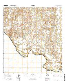
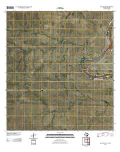
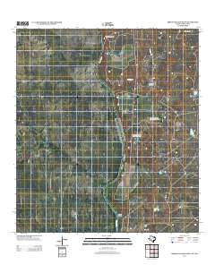
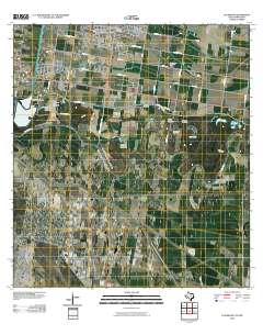
Layered GeoPDF 7.5 Minute Quadrangle Map. Layers of geospatial data include orthoimagery, roads, grids, geographic names, elevation contours, hydrography, and other selected map features.
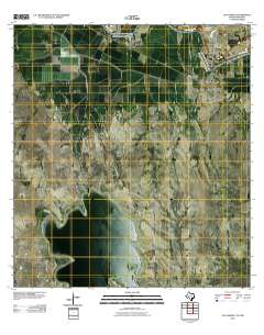
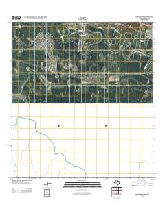
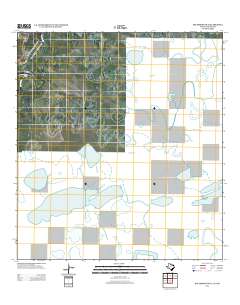
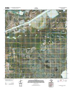
Layered GeoPDF 7.5 Minute Quadrangle Map. Layers of geospatial data include orthoimagery, roads, grids, geographic names, elevation contours, hydrography, and other selected map features.
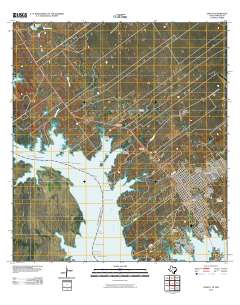
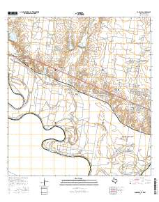
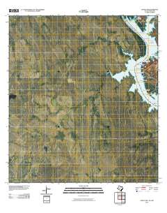
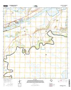
Layered GeoPDF 7.5 Minute Quadrangle Map. Layers of geospatial data include orthoimagery, roads, grids, geographic names, elevation contours, hydrography, and other selected map features.
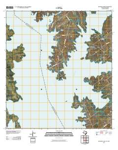
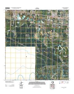
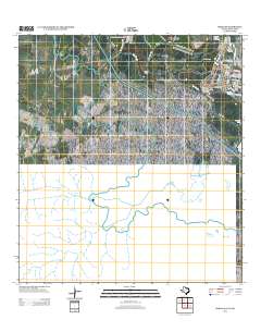
Layered GeoPDF 7.5 Minute Quadrangle Map. Layers of geospatial data include orthoimagery, roads, grids, geographic names, elevation contours, hydrography, and other selected map features.
Layered GeoPDF 7.5 Minute Quadrangle Map. Layers of geospatial data include orthoimagery, roads, grids, geographic names, elevation contours, hydrography, and other selected map features.
Layered GeoPDF 7.5 Minute Quadrangle Map. Layers of geospatial data include orthoimagery, roads, grids, geographic names, elevation contours, hydrography, and other selected map features.
Layered GeoPDF 7.5 Minute Quadrangle Map. Layers of geospatial data include orthoimagery, roads, grids, geographic names, elevation contours, hydrography, and other selected map features.
There are few resources that provide managers cross-scale information for planning climate adaptation strategies for species and taxa at risk. Appropriate allocation of resources requires an understanding of mechanisms influencing a species’ risk to global change. Dr. Griffis-Kyle will produce a manuscript for peer-reviewed publication and create content for web pages that can be included on the Desert LCC website that provide modules on amphibian climate adaptation strategies. This work is associated with addressing Desert LCC Critical Management Question 4: Physiological Stress of Climate Change and follows a webinar that Dr. Griffis-Kyle presented for the Desert LCC’s CMQ 4 team, titled “Climate and Desert Amphibian...
Categories: Data,
Web Site;
Types: Map Service,
OGC WFS Layer,
OGC WMS Layer,
OGC WMS Service;
Tags: 2014,
AZ-01,
AZ-02,
AZ-03,
AZ-04,
The Desert Landscape Conservation Cooperative (LCC) is a partnership formed and directed by resource management entities as well as interested public and private entities in the Mojave, Sonoran, and Chihuahuan Desert and montane sky island regions of the southwestern United States and northern Mexico. Desert LCC science depends on access to transboundary base datasets. Given the importance of vegetation such as grasslands and riparian vegetation in conservation science, a bi-national, landscape-scale vegetation data layer with classes relevant to Desert LCC research is crucial. One objective of this project is to investigate appropriate methodologies and landscape scales to create a Desert LCC binational land cover...
Categories: Data;
Tags: Academics & scientific researchers,
Aquascalientes,
Arizona,
Baja California,
California,
Layered GeoPDF 7.5 Minute Quadrangle Map. Layers of geospatial data include orthoimagery, roads, grids, geographic names, elevation contours, hydrography, and other selected map features.
Layered GeoPDF 7.5 Minute Quadrangle Map. Layers of geospatial data include orthoimagery, roads, grids, geographic names, elevation contours, hydrography, and other selected map features.
Layered GeoPDF 7.5 Minute Quadrangle Map. Layers of geospatial data include orthoimagery, roads, grids, geographic names, elevation contours, hydrography, and other selected map features.
Layered GeoPDF 7.5 Minute Quadrangle Map. Layers of geospatial data include orthoimagery, roads, grids, geographic names, elevation contours, hydrography, and other selected map features.
Layered GeoPDF 7.5 Minute Quadrangle Map. Layers of geospatial data include orthoimagery, roads, grids, geographic names, elevation contours, hydrography, and other selected map features.
Layered GeoPDF 7.5 Minute Quadrangle Map. Layers of geospatial data include orthoimagery, roads, grids, geographic names, elevation contours, hydrography, and other selected map features.
Layered GeoPDF 7.5 Minute Quadrangle Map. Layers of geospatial data include orthoimagery, roads, grids, geographic names, elevation contours, hydrography, and other selected map features.
Layered GeoPDF 7.5 Minute Quadrangle Map. Layers of geospatial data include orthoimagery, roads, grids, geographic names, elevation contours, hydrography, and other selected map features.
Layered GeoPDF 7.5 Minute Quadrangle Map. Layers of geospatial data include orthoimagery, roads, grids, geographic names, elevation contours, hydrography, and other selected map features.
The Desert LCC identified the need for a Protected Areas spatial database that showed land ownership, management designations and conservation status for lands in the United States and Mexico. However, the existing Protected Areas database was found to be particularly prone to boundary and database errors that affected its potential use. This USGS project will develop a single, seamless, error-free Protected Areas dataset for the full geographic scope of the Desert LCC. This will involve acquiring numerous spatial layers from Federal, State, and NGO organizations which are responsible for administering and/or managing areas that have a designated protected status. Protected Area will be categorized as defined by...
Categories: Data,
Project;
Types: Map Service,
OGC WFS Layer,
OGC WMS Layer,
OGC WMS Service;
Tags: 2012,
AZ-01,
AZ-02,
AZ-03,
AZ-04,
There are few resources that provide managers cross-scale information for planning climate adaptation strategies for species and taxa at risk. Appropriate allocation of resources requires an understanding of mechanisms influencing a species’ risk to global change. Dr. Griffis-Kyle will produce a manuscript for peer-reviewed publication and create content for web pages that can be included on the Desert LCC website that provide modules on amphibian climate adaptation strategies. This work is associated with addressing Desert LCC Critical Management Question 4: Physiological Stress of Climate Change and follows a webinar that Dr. Griffis-Kyle presented for the Desert LCC’s CMQ 4 team, titled “Climate and Desert Amphibian...
Categories: Data,
Project;
Types: Map Service,
OGC WFS Layer,
OGC WMS Layer,
OGC WMS Service;
Tags: 2014,
AZ-01,
AZ-02,
AZ-03,
AZ-04,
|

|
