Filters: Tags: Teller County (X)
67 results (117ms)|
Filters
Date Range
Types Contacts
Categories Tag Types Tag Schemes |
HySpex by NEO (HySpex) VNIR-1800 and SWIR-384 imaging spectrometer radiance data were acquired on September 14, 2017 at the Cresson Pit of the Cripple Creek & Victor mine in Cripple Creek, Colorado. ASD FieldSpecⓇ NG data were collected on September 13 and 14, 2017 at two calibration sites within the Cresson Pit imaged with the HySpex imaging spectrometers. The HySpex VNIR-1800 imaging spectrometer is a push broom type instrument that utilizes 1800 pixels to collect 186 channels of spectral data in the region of 400 to 1000 nanometers (nm). The spectral sampling interval of the HySpex VNIR-1800 is 3.26 nm with a 17° field of view (Norsk Elektro Optikk AS, 2016b). The HySpex SWIR-384 imagining spectrometer is a push...
Categories: Data;
Tags: Big Bull Mountain,
Colorado,
Cripple Creek,
Cripple Creek District Mine,
Cripple Creek North,
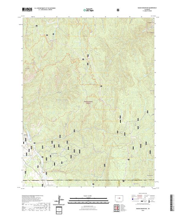
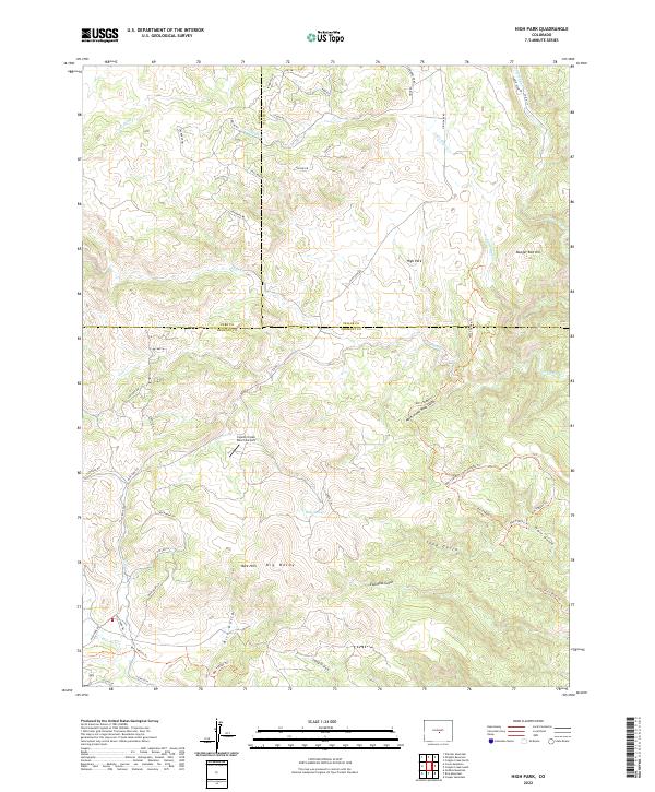
Layered geospatial PDF 7.5 Minute Quadrangle Map. Layers of geospatial data include orthoimagery, roads, grids, geographic names, elevation contours, hydrography, and other selected map features. This map is derived from GIS (geospatial information system) data. It represents a repackaging of GIS data in traditional map form, not creation of new information. The geospatial data in this map are from selected National Map data holdings and other government sources.
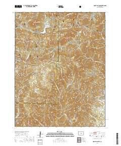
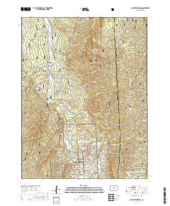
USGS Topo Map Vector Data (Vector) 48379 Westcreek, Colorado 20220511 for 7.5 x 7.5 minute Shapefile
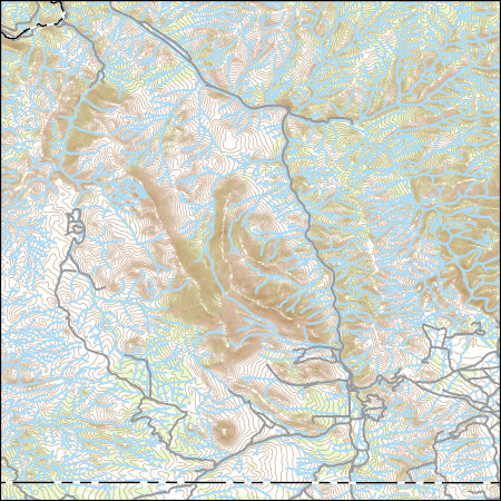
Layers of geospatial data include contours, boundaries, land cover, hydrography, roads, transportation, geographic names, structures, and other selected map features.
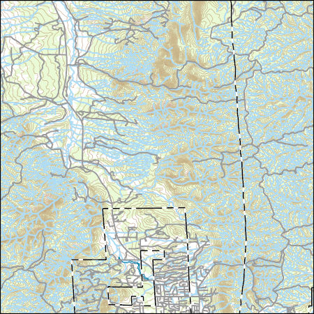
Layers of geospatial data include contours, boundaries, land cover, hydrography, roads, transportation, geographic names, structures, and other selected map features.
Layered geospatial PDF 7.5 Minute Quadrangle Map. Layers of geospatial data include orthoimagery, roads, grids, geographic names, elevation contours, hydrography, and other selected map features. This map is derived from GIS (geospatial information system) data. It represents a repackaging of GIS data in traditional map form, not creation of new information. The geospatial data in this map are from selected National Map data holdings and other government sources.
Layered geospatial PDF 7.5 Minute Quadrangle Map. Layers of geospatial data include orthoimagery, roads, grids, geographic names, elevation contours, hydrography, and other selected map features. This map is derived from GIS (geospatial information system) data. It represents a repackaging of GIS data in traditional map form, not creation of new information. The geospatial data in this map are from selected National Map data holdings and other government sources.
Layered geospatial PDF 7.5 Minute Quadrangle Map. Layers of geospatial data include orthoimagery, roads, grids, geographic names, elevation contours, hydrography, and other selected map features. This map is derived from GIS (geospatial information system) data. It represents a repackaging of GIS data in traditional map form, not creation of new information. The geospatial data in this map are from selected National Map data holdings and other government sources.
|

|
