Filters: Tags: Ticonderoga (X) > partyWithName: U.S. Geological Survey (X)
31 results (9ms)|
Filters
Date Range
Extensions Types Contacts
Categories Tag Types Tag Schemes |
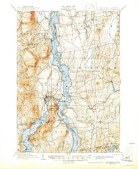
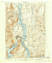
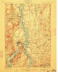
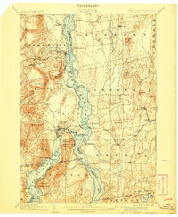
USGS Historical Quadrangle in GeoPDF.

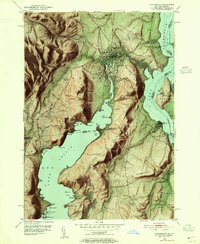
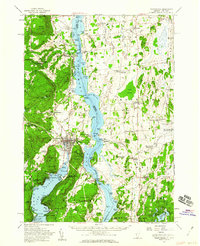
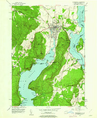
USGS Historical Quadrangle in GeoPDF.
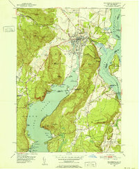
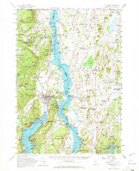
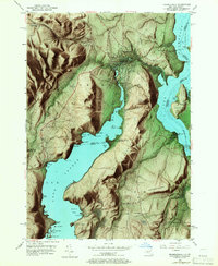
USGS Historical Quadrangle in GeoPDF.
Thirty-four ore, twenty-nine mine waste, seven host rock, two pegmatite, and one slag sample were collected from iron oxide-apatite (IOA) mines in the eastern Adirondack Highlands near Mineville and Ticonderoga, New York, from March 2016 to August 2018. The waste pile samples included twenty-five samples collected from rubble-sized mine waste piles and four samples from processed tailings piles. The ore from historic iron mines of the eastern Adirondack Highlands, New York, contain abundant quantities of rare earth element (REE)-bearing apatite crystals. These apatite crystals are especially enriched in Y, La, Ce, and Nd. In-ground ore, mine waste piles, and tailings piles could contain apatite...
Categories: Data;
Types: Downloadable,
Map Service,
OGC WFS Layer,
OGC WMS Layer,
Shapefile;
Tags: Adirondack Mountains,
Energy Resources,
Geochemistry,
ICP-MS,
ICP-OES,
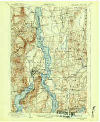
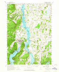
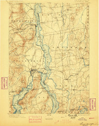
USGS Historical Quadrangle in GeoPDF.
USGS Historical Quadrangle in GeoPDF.

USGS Historical Quadrangle in GeoPDF.

USGS Historical Quadrangle in GeoPDF.
USGS Historical Quadrangle in GeoPDF.
USGS Historical Quadrangle in GeoPDF.
USGS Historical Quadrangle in GeoPDF.
USGS Historical Quadrangle in GeoPDF.

USGS Historical Quadrangle in GeoPDF.
USGS Historical Quadrangle in GeoPDF.

USGS Historical Quadrangle in GeoPDF.
USGS Historical Quadrangle in GeoPDF.

USGS Historical Quadrangle in GeoPDF.
USGS Historical Quadrangle in GeoPDF.
USGS Historical Quadrangle in GeoPDF.
USGS Historical Quadrangle in GeoPDF.
|

|
