Filters: Tags: Ticonderoga (X)
39 results (28ms)|
Filters
Date Range
Extensions (Less) Types (Less) Contacts (Less)
Categories (Less) Tag Types Tag Schemes
|
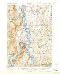
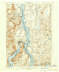
USGS Historical Quadrangle in GeoPDF.

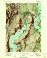
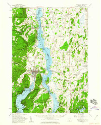
USGS Historical Quadrangle in GeoPDF.
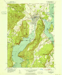
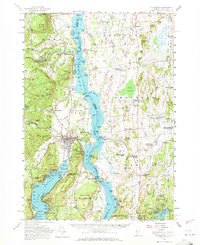
USGS Historical Quadrangle in GeoPDF.
Thirty-four ore, twenty-nine mine waste, seven host rock, two pegmatite, and one slag sample were collected from iron oxide-apatite (IOA) mines in the eastern Adirondack Highlands near Mineville and Ticonderoga, New York, from March 2016 to August 2018. The waste pile samples included twenty-five samples collected from rubble-sized mine waste piles and four samples from processed tailings piles. The ore from historic iron mines of the eastern Adirondack Highlands, New York, contain abundant quantities of rare earth element (REE)-bearing apatite crystals. These apatite crystals are especially enriched in Y, La, Ce, and Nd. In-ground ore, mine waste piles, and tailings piles could contain apatite...
Categories: Data;
Types: Downloadable,
Map Service,
OGC WFS Layer,
OGC WMS Layer,
Shapefile;
Tags: Adirondack Mountains,
Energy Resources,
Geochemistry,
ICP-MS,
ICP-OES,
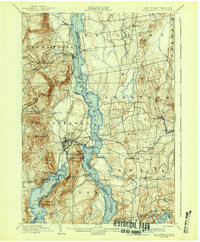
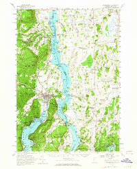
USGS Historical Quadrangle in GeoPDF.
USGS Historical Quadrangle in GeoPDF.

USGS Historical Quadrangle in GeoPDF.
This data set contains imagery from the National Agriculture Imagery Program (NAIP). The NAIP program is administered by USDA FSA and has been established to support two main FSA strategic goals centered on agricultural production. These are increase stewardship of America's natural resources while enhancing the environment, and to ensure commodities are procured and distributed effectively and efficiently to increase food security. The NAIP program supports these goals by acquiring and providing ortho imagery that has been collected during the agricultural growing season in the U.S. The NAIP ortho imagery is tailored to meet FSA requirements and is a fundamental tool used to support FSA farm and conservation programs....
This data set contains imagery from the National Agriculture Imagery Program (NAIP). The NAIP program is administered by USDA FSA and has been established to support two main FSA strategic goals centered on agricultural production. These are, increase stewardship of America's natural resources while enhancing the environment, and to ensure commodities are procured and distributed effectively and efficiently to increase food security. The NAIP program supports these goals by acquiring and providing ortho imagery that has been collected during the agricultural growing season in the U.S. The NAIP ortho imagery is tailored to meet FSA requirements and is a fundamental tool used to support FSA farm and conservation programs....
This data set contains imagery from the National Agriculture Imagery Program (NAIP). The NAIP program is administered by USDA FSA and has been established to support two main FSA strategic goals centered on agricultural production. These are, increase stewardship of America's natural resources while enhancing the environment, and to ensure commodities are procured and distributed effectively and efficiently to increase food security. The NAIP program supports these goals by acquiring and providing ortho imagery that has been collected during the agricultural growing season in the U.S. The NAIP ortho imagery is tailored to meet FSA requirements and is a fundamental tool used to support FSA farm and conservation programs....
This data set contains imagery from the National Agriculture Imagery Program (NAIP). The NAIP program is administered by USDA FSA and has been established to support two main FSA strategic goals centered on agricultural production. These are, increase stewardship of America's natural resources while enhancing the environment, and to ensure commodities are procured and distributed effectively and efficiently to increase food security. The NAIP program supports these goals by acquiring and providing ortho imagery that has been collected during the agricultural growing season in the U.S. The NAIP ortho imagery is tailored to meet FSA requirements and is a fundamental tool used to support FSA farm and conservation programs....
This data set contains imagery from the National Agriculture Imagery Program (NAIP). The NAIP program is administered by USDA FSA and has been established to support two main FSA strategic goals centered on agricultural production. These are increase stewardship of America's natural resources while enhancing the environment, and to ensure commodities are procured and distributed effectively and efficiently to increase food security. The NAIP program supports these goals by acquiring and providing ortho imagery that has been collected during the agricultural growing season in the U.S. The NAIP ortho imagery is tailored to meet FSA requirements and is a fundamental tool used to support FSA farm and conservation programs....

USGS Historical Quadrangle in GeoPDF.
USGS Historical Quadrangle in GeoPDF.
USGS Historical Quadrangle in GeoPDF.
USGS Historical Quadrangle in GeoPDF.
This data release includes whole rock (WR) geochemical data, and uranium-lead isotopic data collected using a sensitive high resolution ion microprobe-reverse geometry (SHRIMP-RG) instrument; the SHRIMP-RG is a type of secondary ion mass spectrometer (SIMS). Whole rock geochemistry data were analyzed at Bureau Veritas Commodities Canada Ltd. Laboratories in Vancouver, British Columbia, Canada. SHRIMP-RG data were collected at the USGS-Stanford University SHRIMP-RG in Palo Alto, California, USA. Rock samples for all methods were collected by Phillip Geer, Sean Regan, and Greg Walsh. SHRIMP-RG sample preparation and analyses were conducted by Ryan McAleer. The whole rock geochemistry and uranium-lead (U-Pb) isotopic...
The iron oxide-apatite (IOA) deposits near Mineville in the Adirondack Mountains, New York, have been of interest for their rich magnetite ore since the mid-1700s but have attracted renewed attention due to their potential as rare earth element (REE) resources (McKeown and Klemic, 1956; Lupulescu and others, 2016; Taylor and others, 2018). Apatite is the main REE-host and is found in variable concentrations within ore seams of the regional magnetite deposits. Some apatite crystals are unaltered, relatively homogenous, and inclusion-free, whereas other deposits contain heterogenous apatite with zones of abundant secondary mineral inclusions that were formed through metasomatic reactions with the apatite after initial...
USGS Historical Quadrangle in GeoPDF.

USGS Historical Quadrangle in GeoPDF.
|

|
