Filters: Tags: Tompkins County (X)
72 results (66ms)|
Filters
Date Range
Extensions Types Contacts
Categories Tag Types
|
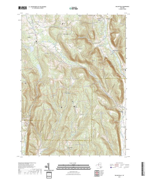
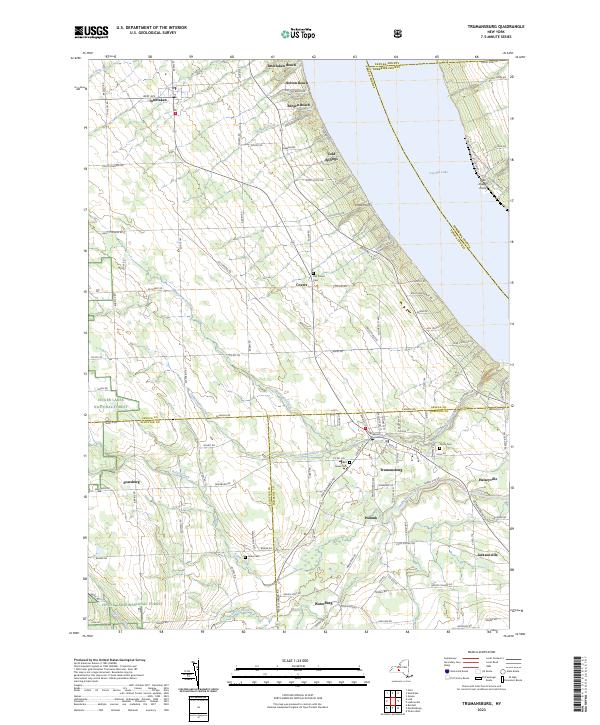
Layered geospatial PDF 7.5 Minute Quadrangle Map. Layers of geospatial data include orthoimagery, roads, grids, geographic names, elevation contours, hydrography, and other selected map features. This map is derived from GIS (geospatial information system) data. It represents a repackaging of GIS data in traditional map form, not creation of new information. The geospatial data in this map are from selected National Map data holdings and other government sources.
Layered geospatial PDF 7.5 Minute Quadrangle Map. Layers of geospatial data include orthoimagery, roads, grids, geographic names, elevation contours, hydrography, and other selected map features. This map is derived from GIS (geospatial information system) data. It represents a repackaging of GIS data in traditional map form, not creation of new information. The geospatial data in this map are from selected National Map data holdings and other government sources.
From 2013 to 2018, the U.S. Geological Survey, in cooperation with the Town of Enfield and the Tompkins County Planning Department, collected and compiled well records (306 in total) within and outside the unconsolidated aquifers in the Town of Enfield, New York. Sources of well data included previous USGS groundwater studies, the USGS National Water Information System, and well records obtained from the New York State Department of Environmental Conservation Water Well Contractor Program.
Categories: Data;
Tags: Aquifer,
Aquifer Mapping,
Enfield,
Groundwater,
Groundwater and Streamflow Information,
This dataset contains locations of aquifer boundaries and types of aquifer confinement.
Categories: Data;
Types: Downloadable,
Map Service,
OGC WFS Layer,
OGC WMS Layer,
Shapefile;
Tags: Aquifer,
Aquifer Mapping,
Enfield,
Groundwater,
Groundwater and Streamflow Information,
This child item dataset contains a shapefile that delineates ice-margin positions in the Owasco Inlet watershed and surrounding area. Ice positions mostly represent pauses during the final retreat of the ice sheet from the area. Ice-margin positions are delineated by moraines (mostly till) in upland areas and by ice-contact deposits in the valleys.
Categories: Data;
Types: Downloadable,
Map Service,
OGC WFS Layer,
OGC WMS Layer,
Shapefile;
Tags: Aquifer Mapping,
Basin & Hydrogeologic Characterization,
Cayuga County,
Freeville,
Groton,
Layered geospatial PDF 7.5 Minute Quadrangle Map. Layers of geospatial data include orthoimagery, roads, grids, geographic names, elevation contours, hydrography, and other selected map features. This map is derived from GIS (geospatial information system) data. It represents a repackaging of GIS data in traditional map form, not creation of new information. The geospatial data in this map are from selected National Map data holdings and other government sources.
Layered geospatial PDF 7.5 Minute Quadrangle Map. Layers of geospatial data include orthoimagery, roads, grids, geographic names, elevation contours, hydrography, and other selected map features. This map is derived from GIS (geospatial information system) data. It represents a repackaging of GIS data in traditional map form, not creation of new information. The geospatial data in this map are from selected National Map data holdings and other government sources.
PROBLEM The unconsolidated aquifer in Enfield Creek Valley (fig. 1) was mapped by Miller (2000) and identified as one of 17 unconsolidated aquifers in Tompkins County that needs to be studied in more detail. Well records in Enfield Creek valley indicate that the northern part of Enfield Creek valley contains sand and gravel deposits which may be under unconfined conditions in some areas, confined in others, or both; and the southern part of the valley contains mostly sand and gravel under unconfined conditions. The valley will probably undergo increased development as the population in Tompkins County increases and spreads out from metropolitan areas. However, there is little geohydrologic data in the valley....
Categories: Data,
Project;
Types: Downloadable,
Map Service,
OGC WFS Layer,
OGC WMS Layer,
Shapefile;
Tags: Aquifer Mapping,
Aquifer Mapping,
Aquifer Mapping,
Cooperative Water Program,
GW or SW,
Introduction Detailed mapping of the valley-fill aquifer within the Owasco Inlet valley and adjacent tributary valleys in Cayuga County (Towns of Moravia and Locke) and Tompkins County (Town of Groton) is the latest study in the cooperative Detailed Aquifer Mapping Program between the US Geological Survey (USGS) and the New York State Department of Environmental Conservation (NYSDEC). The aim of the program is to map sand and gravel aquifers in New York State at a scale of 1:24,000. This information is used by NYSDEC Division of Water and others to delineate groundwater contributing areas, assess potential threats to aquifers from both point and non-point sources, respond to contamination from spills or leaks...
Categories: Data,
Project;
Types: Downloadable,
Map Service,
OGC WFS Layer,
OGC WMS Layer,
Shapefile;
Tags: Aquifer Mapping,
Aquifer Mapping,
Aquifer Mapping,
Cayuga county,
Cooperative Water Program,
This dataset contains locations of surface water discharge and water quality sites.
Categories: Data;
Types: Downloadable,
Map Service,
OGC WFS Layer,
OGC WMS Layer,
Shapefile;
Tags: Aquifer,
Aquifer Mapping,
Enfield,
Groundwater,
Groundwater and Streamflow Information,
This dataset contains locations and unit labels of the surficial geologic units.
Categories: Data;
Types: Downloadable,
Map Service,
OGC WFS Layer,
OGC WMS Layer,
Shapefile;
Tags: Aquifer,
Aquifer Mapping,
Enfield,
Groundwater,
Groundwater and Streamflow Information,
Layered geospatial PDF 7.5 Minute Quadrangle Map. Layers of geospatial data include orthoimagery, roads, grids, geographic names, elevation contours, hydrography, and other selected map features. This map is derived from GIS (geospatial information system) data. It represents a repackaging of GIS data in traditional map form, not creation of new information. The geospatial data in this map are from selected National Map data holdings and other government sources.
Layered geospatial PDF 7.5 Minute Quadrangle Map. Layers of geospatial data include orthoimagery, roads, grids, geographic names, elevation contours, hydrography, and other selected map features. This map is derived from GIS (geospatial information system) data. It represents a repackaging of GIS data in traditional map form, not creation of new information. The geospatial data in this map are from selected National Map data holdings and other government sources.
This dataset contains locations of moraines and ice margins.
Categories: Data;
Types: Downloadable,
Map Service,
OGC WFS Layer,
OGC WMS Layer,
Shapefile;
Tags: Aquifer,
Aquifer Mapping,
Enfield,
Groundwater,
Groundwater and Streamflow Information,
From July to November 2019, 48 environmental samples and four quality assurance and quality control samples were collected throughout the Lake Champlain and Susquehanna River Basins. Samples were collected from 10 production wells and nine domestic wells in the Lake Champlain Basin, and 14 production wells and 15 domestic wells in the Susquehanna River Basin. Of the total wells sampled, 24 were completed in bedrock and 23 were completed in sand and gravel. Approximately 20 percent of samples were collected from wells that previously have been sampled as part of this study in 2005, 2009, and 2014. Groundwater samples were collected prior to any treatment or filtration systems, from existing domestic and production...
Categories: Data;
Types: Map Service,
OGC WFS Layer,
OGC WMS Layer,
OGC WMS Service;
Tags: Ambient Monitoring,
Broome County,
Chenango County,
Clinton County,
Cortland County,
This child item dataset contains a shapefile that delineates the overall extent of stratified drift (glacial) aquifers within the Owasco Inlet watershed. The extent includes coarse-grained (sand and gravel) deposits that may be unsaturated, but are contiguous with saturated deposits, and thus may act as aquifer recharge areas.
Categories: Data;
Types: Downloadable,
Map Service,
OGC WFS Layer,
OGC WMS Layer,
Shapefile;
Tags: Aquifer Mapping,
Basin & Hydrogeologic Characterization,
Cayuga County,
Freeville,
Groton,
Problem - The valley-fill deposits in Upper Buttermilk Creek/Danby Creek valleys are sources of water for many homeowners, farms, and small businesses that are in this valley. The aquifer was mapped by Miller (2000) and identified as one of the 17 aquifers in Tompkins County that needs to be studied in more detail. However, there is little geohydrologic data in the valley. A cluster of wells in Upper Buttermilk valley are finished in sand and gravel, indicating that there is a sand and gravel aquifer in, at least, part of the valley. The Upper Buttermilk Creek/Danby Creek valleys are "through valleys"-- a part of a valley where the bedrock floor rose to land surface and formed a preglacial surface-water divide....
Categories: Data,
Project;
Types: Downloadable,
Map Service,
OGC WFS Layer,
OGC WMS Layer,
Shapefile;
Tags: Aquifer Mapping,
Aquifer Mapping,
Aquifer Mapping,
Borehole Geophysics,
Completed,
This dataset contains locations of overburden thickness and information regarding their relative thickness.
Categories: Data;
Types: Downloadable,
Map Service,
OGC WFS Layer,
OGC WMS Layer,
Shapefile;
Tags: Aquifer,
Aquifer Mapping,
Enfield,
Groundwater,
Groundwater and Streamflow Information,
From May to December 2017, 48 environmental samples and six quality control samples were collected throughout the Upper Hudson and Central New York River Basins. Samples were collected from nine production wells and 11 domestic wells in the Upper Hudson River Basin, and 14 production wells and 14 domestic wells in the Central New York River Basin. Of the total wells sampled, 22 were completed in bedrock and 26 were completed in sand and gravel. Approximately 20 percent of samples were collected from wells that were previously sampled as in 2007 and 2012. Groundwater samples were collected prior to any treatment or filtration systems, from existing domestic and production wells equipped with permanently installed...
Categories: Data;
Types: Map Service,
OGC WFS Layer,
OGC WMS Layer,
OGC WMS Service;
Tags: Ambient Monitoring,
Cayuga County,
Central New York River Basin,
Essex County,
Fulton County,
In June 2017, Lake Sturgeon were observed spawning in Fall Creek, a tributary to Cayuga Lake, NY. The spawning site was just downstream of Ithaca Falls, the first impassible barrier. Data were collected to quantify the stream habitat use by the Lake Sturgeon. These were the first sturgeon observed spawning in a Cayuga Lake tributary recorded in the New York Department of Environmental Conservation historical fish records. Habitat and egg deposition data were collected at 10 stations on 15 cross stream transects, spaced at least 10 m apart. Eggs were collected with using 7 cm diameter core sampler at least 3 stations on each transect. Water depth, stream velocity, and substrate composition data were collected at...
Categories: Data;
Tags: Acipenser fulvescens,
Aquatic Biology,
Available Habitat,
Cayuga Lake,
Community Ecology,
|

|
