Filters
Date Range
Extensions
Types
Contacts
Categories
Tag Types
Tag Schemes
|
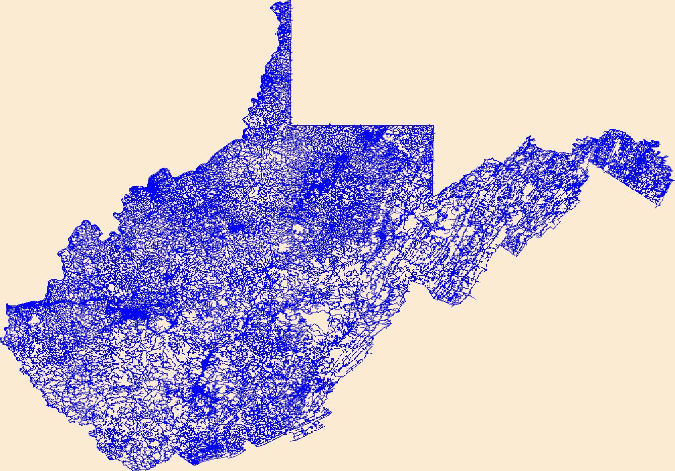
Layers of geospatial data include roads, airports, trails, and railroads.
Tags: Airport Complex,
Airport Point,
Airport Runway,
Airports,
Airstrips, All tags...
Barbour,
Berkeley,
Boone,
Braxton,
Brooke,
Cabell,
Calhoun,
Clay,
Doddridge,
Downloadable Data,
Esri Shapefile nan,
Fayette,
Geographic names,
Gilmer,
Grant,
Greenbrier,
Hampshire,
Hancock,
Hardy,
Harrison,
Jackson,
Jefferson,
Kanawha,
Lewis,
Lincoln,
Logan,
Marion,
Marshall,
Mason,
McDowell,
Mercer,
Mineral,
Mingo,
Monongalia,
Monroe,
Morgan,
National Transportation Dataset (NTD),
National Transportation Dataset (NTD),
Nicholas,
Ohio,
Pendleton,
Pleasants,
Pocahontas,
Preston,
Putnam,
Railways,
Raleigh,
Randolph,
Ritchie,
Roads,
Roane,
Shapefile,
State,
State,
Summers,
Taylor,
Trail,
Trails,
Transportation,
Transportation,
Tucker,
Tyler,
US,
United States,
Upshur,
WV,
Waterway,
Wayne,
Webster,
West Virginia,
Wetzel,
Wirt,
Wood,
Wyoming,
transportation, Fewer tags
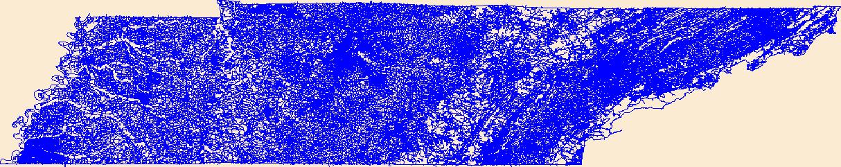
Layers of geospatial data include roads, airports, trails, and railroads.
Tags: Airport Complex,
Airport Point,
Airport Runway,
Airports,
Airstrips, All tags...
Anderson,
Bedford,
Benton,
Bledsoe,
Blount,
Bradley,
Campbell,
Cannon,
Carroll,
Carter,
Cheatham,
Chester,
Claiborne,
Clay,
Cocke,
Coffee,
Crockett,
Cumberland,
Davidson,
DeKalb,
Decatur,
Dickson,
Downloadable Data,
Dyer,
Esri Shapefile nan,
Fayette,
Fentress,
Franklin,
Geographic names,
Gibson,
Giles,
Grainger,
Greene,
Grundy,
Hamblen,
Hamilton,
Hancock,
Hardeman,
Hardin,
Hawkins,
Haywood,
Henderson,
Henry,
Hickman,
Houston,
Humphreys,
Jackson,
Jefferson,
Johnson,
Knox,
Lake,
Lauderdale,
Lawrence,
Lewis,
Lincoln,
Loudon,
Macon,
Madison,
Marion,
Marshall,
Maury,
McMinn,
McNairy,
Meigs,
Monroe,
Montgomery,
Moore,
Morgan,
National Transportation Dataset (NTD),
National Transportation Dataset (NTD),
Obion,
Overton,
Perry,
Pickett,
Polk,
Putnam,
Railways,
Rhea,
Roads,
Roane,
Robertson,
Rutherford,
Scott,
Sequatchie,
Sevier,
Shapefile,
Shelby,
Smith,
State,
State,
Stewart,
Sullivan,
Sumner,
TN,
Tennessee,
Tipton,
Trail,
Trails,
Transportation,
Transportation,
Trousdale,
US,
Unicoi,
Union,
United States,
Van Buren,
Warren,
Washington,
Waterway,
Wayne,
Weakley,
White,
Williamson,
Wilson,
transportation, Fewer tags
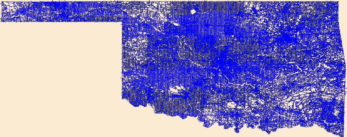
Layers of geospatial data include roads, airports, trails, and railroads.
Tags: Adair,
Airport Complex,
Airport Point,
Airport Runway,
Airports, All tags...
Airstrips,
Alfalfa,
Atoka,
Beaver,
Beckham,
Blaine,
Bryan,
Caddo,
Canadian,
Carter,
Cherokee,
Choctaw,
Cimarron,
Cleveland,
Coal,
Comanche,
Cotton,
Craig,
Creek,
Custer,
Delaware,
Dewey,
Downloadable Data,
Ellis,
Esri Shapefile nan,
Garfield,
Garvin,
Geographic names,
Grady,
Grant,
Greer,
Harmon,
Harper,
Haskell,
Hughes,
Jackson,
Jefferson,
Johnston,
Kay,
Kingfisher,
Kiowa,
Latimer,
Le Flore,
Lincoln,
Logan,
Love,
Major,
Marshall,
Mayes,
McClain,
McCurtain,
McIntosh,
Murray,
Muskogee,
National Transportation Dataset (NTD),
National Transportation Dataset (NTD),
Noble,
Nowata,
OK,
Okfuskee,
Oklahoma,
Oklahoma,
Okmulgee,
Osage,
Ottawa,
Pawnee,
Payne,
Pittsburg,
Pontotoc,
Pottawatomie,
Pushmataha,
Railways,
Roads,
Roger Mills,
Rogers,
Seminole,
Sequoyah,
Shapefile,
State,
State,
Stephens,
Texas,
Tillman,
Trail,
Trails,
Transportation,
Transportation,
Tulsa,
US,
United States,
Wagoner,
Washington,
Washita,
Waterway,
Woods,
Woodward,
transportation, Fewer tags

BLM controlled roads, trails, and closure devices in SWO.
Tags: closures,
framework,
ground transportation,
gtrn,
inventoried roads, All tags...
inventoried trails,
non-inventoried roads,
non-inventoried trails,
recreation,
roads,
trails,
transportation,
transportation networks, Fewer tags

This dataset displays linear projects funded under the CFLRP. Trails and roads decommissioning or improvements.
As one of the cornerstones of the U.S. Geological Survey's (USGS) National Geospatial Program, The National Map is a collaborative effort among the USGS and other Federal, State, and local partners to improve and deliver topographic information for the Nation. It has many uses ranging from recreation to scientific analysis to emergency response. The National Map is easily accessible for display on the Web, as products and services, and as downloadable data. The geographic information available from The National Map includes orthoimagery (aerial photographs), elevation, geographic names, hydrography, boundaries, transportation, structures, and land cover.
Tags: 1 arc-second DEM,
1 meter DEM,
1-degree DEM,
1/3 arc-second DEM,
1/9 arc-second DEM, All tags...
10,000 meter DEM,
15-minute DEM,
2 arc-second DEM,
3DEP,
Administrative watershed units,
Aerial Compliance,
Aerial Photography,
Agricultural land,
Airport Complex,
Airport Point,
Airport Runway,
Airports,
Airstrips,
Area of Complex Channels,
Area to be submerged,
Bare Earth,
Barren land,
Basin,
Bay/Inlet,
Boundaries,
Boundary,
Bridge,
Canal/Ditch,
Cartography,
Coastline,
College / University,
Compliance,
Connector,
County or Equivalent,
DEM,
Dam/Weir,
Digital Elevation Model,
Digital Mapping,
Digital Ortho rectified Image,
Digital Terrain Model,
Drainage areas for surface water,
Elevation,
Elevation Theme,
Estuary,
Feature class,
Feature coordinates,
Feature county,
Feature description,
Feature designation,
Feature history,
Feature identification,
Feature name,
Feature state,
Fire Station/ EMS Station,
Flow direction network,
Flume,
ForeShore,
Forest land,
GIS,
Gaging Station,
Gate,
Geodata,
Geographic feature,
Geographic name,
Geographic names,
Geographical feature,
Geographical name,
Georeferenced,
Governmental Units, and Administrative and Statistical Boundaries Theme,
Grid,
HU10,
HU12,
HU14,
HU16,
HU2,
HU4,
HU6,
HU8,
HUC,
Hazard Zone,
High Resolution,
High Resolution Orthoimagery,
Hospital/Medical Center,
Hydro-Flattened,
Hydrographic,
Hydrography,
Hydrologic Unit Code,
Hydrologic Units,
IFSAR,
Ice mass,
Image processing,
Impervious,
Imperviousness,
Incorporated Place,
Interferometric Synthetic Aperture Radar,
Inundation Area,
JPEG 2000,
Juction,
Jurisdictional,
LAS,
LIDAR,
LIght Detection And Ranging,
Land Use-Land Cover Theme,
Land cover,
Law Enforcement,
Levee,
Light Detection and Ranging,
Line,
Lock Chamber,
Mapping,
Marsh,
Minor Civil Division,
NAIP,
NED,
NGDA,
National Elevation Dataset,
National Geospatial Data Asset,
Native American Area,
NavAid,
Nonearthen Shore,
Not Classified,
Official feature name,
Ortho Rectification,
Orthoimage,
PLSS First Division,
PLSS Special Survey,
PLSS Township,
Percent Developed Imperviousness,
Place name,
Playa,
Point,
Point Cloud,
PointEvent,
Pond,
Prison/ Correctional Facility,
Public Land Survey System,
Quarter Quadrangle,
Railways,
Range land,
Rapids,
Raster,
Reach,
Reach code,
Real Property Theme,
Reef,
Region,
Reserve,
Reservoir,
Roads,
Rock,
School,
School:Elementary,
School:High School,
School:Middle School,
Sea/Ocean,
Sink/Rise,
Sounding Datum Line,
Special Use Zone,
Special Use Zone Limit,
Spillway,
State Capitol,
State or Territory,
Stream/River,
Sub-basin,
Sub-region,
Subbasin,
Submerged Stream,
Subregion,
Subwatershed,
Survey,
Swamp,
Technical School,
Terrain Elevation,
Topographic,
Topographic Surface,
Topography,
Trade School,
TrailFeature,
Trails,
Transportation,
Transportation Theme,
Tunnel,
U.S. Geological Survey,
U.S. Geological Survey (USGS),
U.S. National Grid,
USGS,
Underground Conduit,
Unincorporated Place,
Urban and built-up land,
Variant name,
Vector,
WBD,
Wall,
Wash,
Water,
Water Intake Outflow,
Water – Inland Theme,
Waterfall,
Watershed,
Watershed Boundaries,
Watershed Boundary Dataset,
Waterway,
Well,
Wetland,
Woodland,
a-16,
altitude,
annotations,
artificial path,
biota,
boundaries,
boundaries,
boundary,
cadastral surveys,
contour,
dams,
dems,
digital spatial data,
drainage systems and characteristics,
ecology,
economy,
elevation,
elevation,
environment,
flora,
geographic names,
grid,
habitat,
hydrography,
image map,
imagery,
imageryBaseMapsEarthCover,
inlandWaters,
lakes,
land cover,
land ownership,
land use maps,
legal land descriptions,
location,
natural color orthophoto,
orthoimage,
orthophoto,
political and administrative boundaries,
polygon grid,
rectified image,
rivers,
slope,
society,
stream,
structure,
transportation, Fewer tags

This data depicts infrastructure locations in Alaska as digitized primarily from 1:24,000, 1:63,360, and 1:250,000 USGS quadrangles. The source document that represented the newest information and best geographic location was used to capture the data. All infrastructure from the primary source document was digitized and then supplemented with the information from other source documents for additional or updated infrastructure or attributes. In addition, ISER added major rivers (those being named in the Anadromous streams catalog and > 150 km in length) and the historic Iditarod Trails for additional reference.
Types: Downloadable;
Tags: Alaska Marine Highway,
BLM,
Bureau of Land Management,
DOI,
Facility, All tags...
Geospatial,
REA,
Rapid Ecoregional Assessment,
Trans-Alaska Pipeline,
YKL 2011,
Yukon Kuskokwim,
airfields,
airports,
electrical lines,
fiber optic lines,
foot trails,
forestry development roads,
gas lines,
highways,
infrastructure,
landing airstrip,
logging roads,
marine highway,
pipeline,
power lines,
railroads,
roads,
telephone lines,
tractor trails,
trails,
transmission lines,
transportation,
utilitiesCommunication,
winter trails, Fewer tags
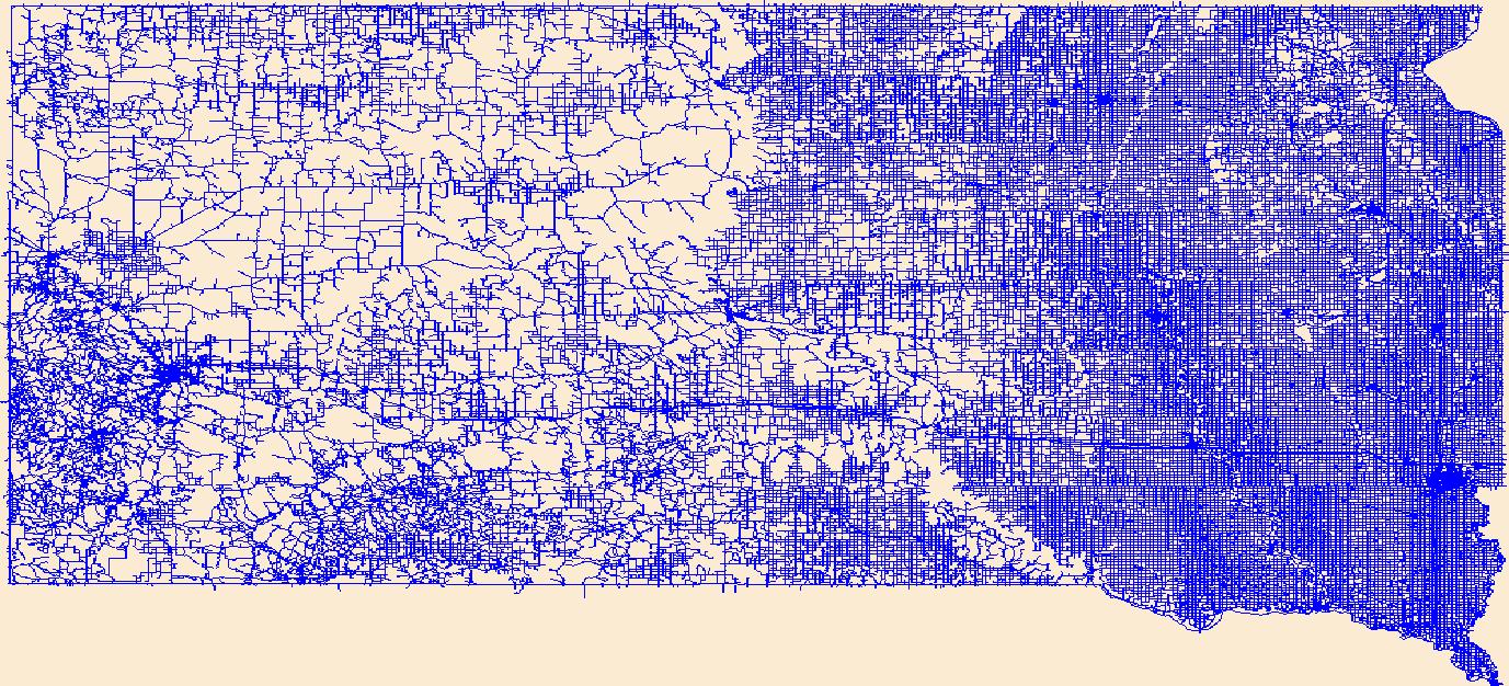
Layers of geospatial data include roads, airports, trails, and railroads.
Tags: Airport Complex,
Airport Point,
Airport Runway,
Airports,
Airstrips, All tags...
Aurora,
Beadle,
Bennett,
Bon Homme,
Brookings,
Brown,
Brule,
Buffalo,
Butte,
Campbell,
Charles Mix,
Clark,
Clay,
Codington,
Corson,
Custer,
Davison,
Day,
Deuel,
Dewey,
Douglas,
Downloadable Data,
Edmunds,
Esri Shapefile nan,
Fall River,
Faulk,
Geographic names,
Grant,
Gregory,
Haakon,
Hamlin,
Hand,
Hanson,
Harding,
Hughes,
Hutchinson,
Hyde,
Jackson,
Jerauld,
Jones,
Kingsbury,
Lake,
Lawrence,
Lincoln,
Lyman,
Marshall,
McCook,
McPherson,
Meade,
Mellette,
Miner,
Minnehaha,
Moody,
National Transportation Dataset (NTD),
National Transportation Dataset (NTD),
Oglala Lakota,
Pennington,
Perkins,
Potter,
Railways,
Roads,
Roberts,
SD,
Sanborn,
Shapefile,
South Dakota,
Spink,
Stanley,
State,
State,
Sully,
Todd,
Trail,
Trails,
Transportation,
Transportation,
Tripp,
Turner,
US,
Union,
United States,
Walworth,
Waterway,
Yankton,
Ziebach,
transportation, Fewer tags
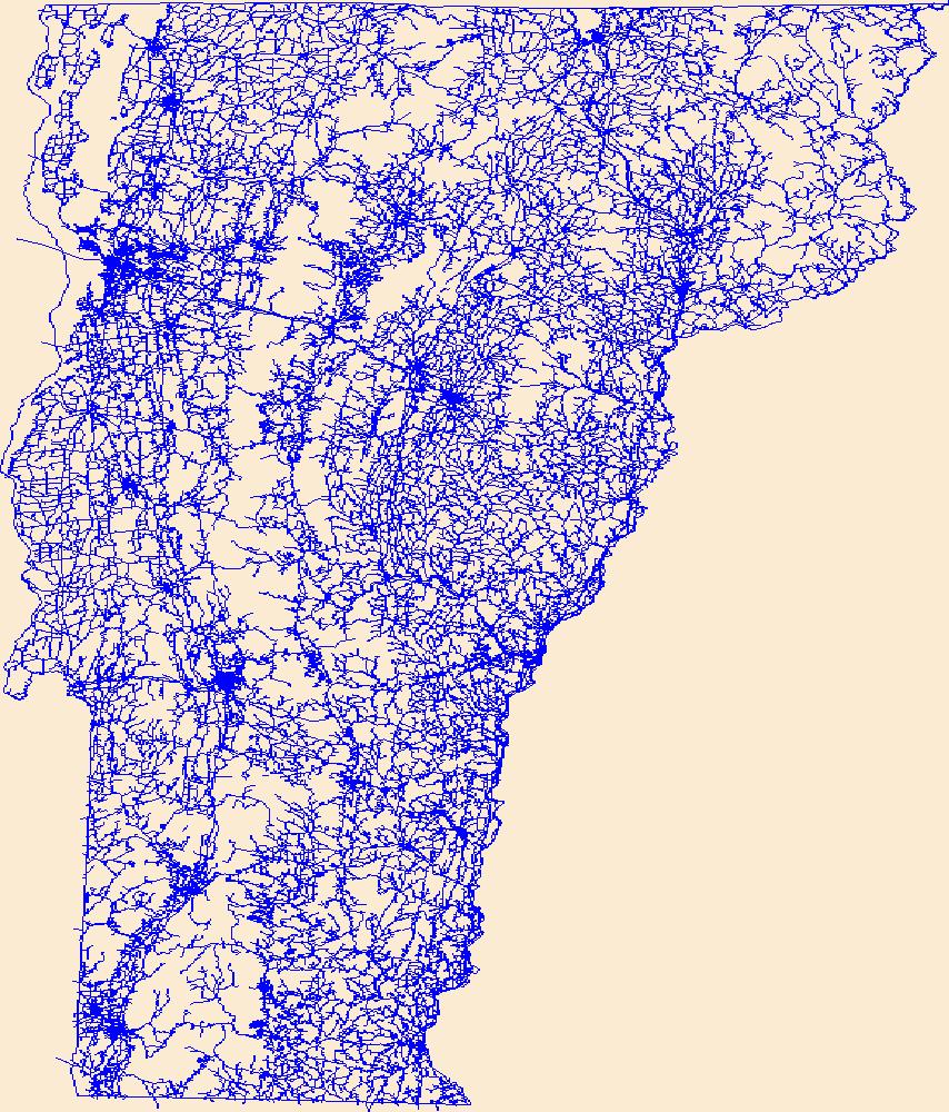
Layers of geospatial data include roads, airports, trails, and railroads.
Tags: Addison,
Airport Complex,
Airport Point,
Airport Runway,
Airports, All tags...
Airstrips,
Bennington,
Caledonia,
Chittenden,
Downloadable Data,
Esri Shapefile nan,
Essex,
Franklin,
Geographic names,
Grand Isle,
Lamoille,
National Transportation Dataset (NTD),
National Transportation Dataset (NTD),
Orange,
Orleans,
Railways,
Roads,
Rutland,
Shapefile,
State,
State,
Trail,
Trails,
Transportation,
Transportation,
US,
United States,
VT,
Vermont,
Washington,
Waterway,
Windham,
Windsor,
transportation, Fewer tags
Layers of geospatial data include roads, airports, trails, and railroads.
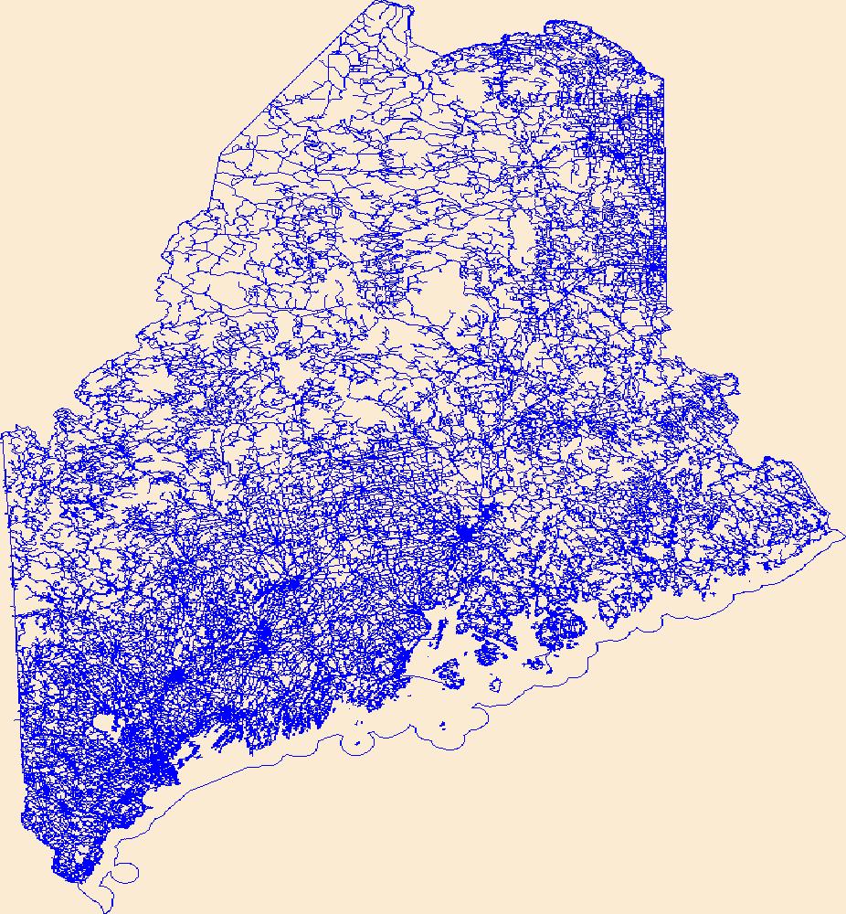
Tags: Airport Complex,
Airport Point,
Airport Runway,
Airports,
Airstrips, All tags...
Androscoggin,
Aroostook,
Cumberland,
Downloadable Data,
Esri Shapefile nan,
Franklin,
Geographic names,
Hancock,
Kennebec,
Knox,
Lincoln,
ME,
Maine,
National Transportation Dataset (NTD),
National Transportation Dataset (NTD),
Oxford,
Penobscot,
Piscataquis,
Railways,
Roads,
Sagadahoc,
Shapefile,
Somerset,
State,
State,
Trail,
Trails,
Transportation,
Transportation,
US,
United States,
Waldo,
Washington,
Waterway,
York,
transportation, Fewer tags
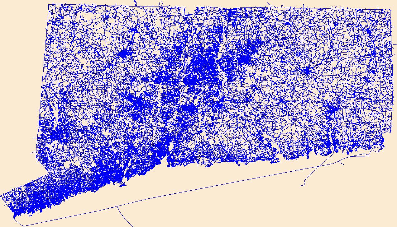
Layers of geospatial data include roads, airports, trails, and railroads.
Tags: Airport Complex,
Airport Point,
Airport Runway,
Airports,
Airstrips, All tags...
CT,
Capitol,
Connecticut,
Downloadable Data,
Esri File GeoDatabase 10,
FileGDB,
Geographic names,
Greater Bridgeport,
Lower Connecticut River Valley,
National Transportation Dataset (NTD),
National Transportation Dataset (NTD),
Naugatuck Valley,
Northeastern Connecticut,
Northwest Hills,
Railways,
Roads,
South Central Connecticut,
Southeastern Connecticut,
State,
State,
Trail,
Trails,
Transportation,
Transportation,
US,
United States,
Waterway,
Western Connecticut,
transportation, Fewer tags
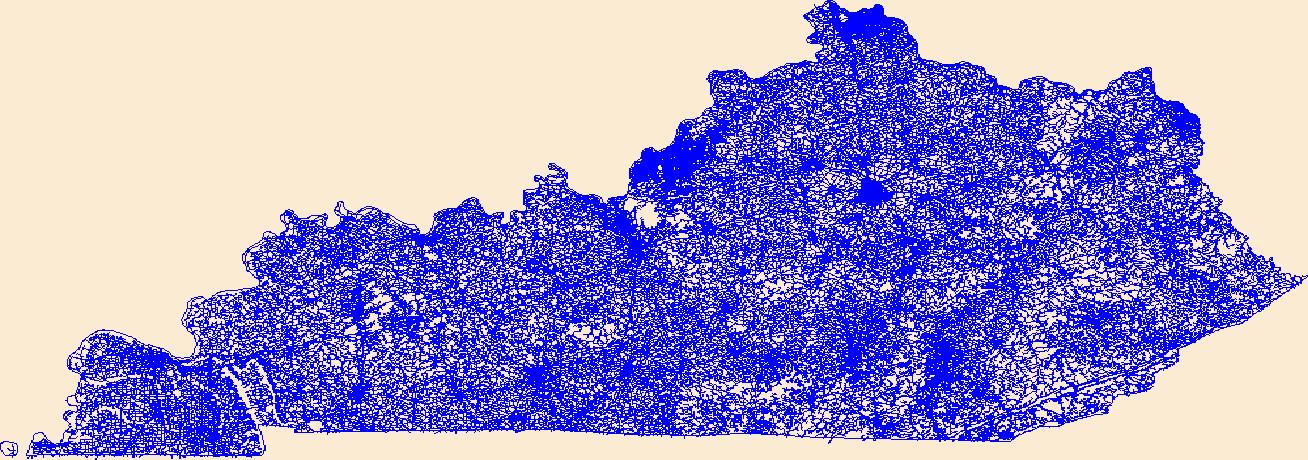
Layers of geospatial data include roads, airports, trails, and railroads.
Tags: Adair,
Airport Complex,
Airport Point,
Airport Runway,
Airports, All tags...
Airstrips,
Allen,
Anderson,
Ballard,
Barren,
Bath,
Bell,
Boone,
Bourbon,
Boyd,
Boyle,
Bracken,
Breathitt,
Breckinridge,
Bullitt,
Butler,
Caldwell,
Calloway,
Campbell,
Carlisle,
Carroll,
Carter,
Casey,
Christian,
Clark,
Clay,
Clinton,
Crittenden,
Cumberland,
Daviess,
Downloadable Data,
Edmonson,
Elliott,
Esri File GeoDatabase 10,
Estill,
Fayette,
FileGDB,
Fleming,
Floyd,
Franklin,
Fulton,
Gallatin,
Garrard,
Geographic names,
Grant,
Graves,
Grayson,
Green,
Greenup,
Hancock,
Hardin,
Harlan,
Harrison,
Hart,
Henderson,
Henry,
Hickman,
Hopkins,
Jackson,
Jefferson,
Jessamine,
Johnson,
KY,
Kenton,
Kentucky,
Knott,
Knox,
Larue,
Laurel,
Lawrence,
Lee,
Leslie,
Letcher,
Lewis,
Lincoln,
Livingston,
Logan,
Lyon,
Madison,
Magoffin,
Marion,
Marshall,
Martin,
Mason,
McCracken,
McCreary,
McLean,
Meade,
Menifee,
Mercer,
Metcalfe,
Monroe,
Montgomery,
Morgan,
Muhlenberg,
National Transportation Dataset (NTD),
National Transportation Dataset (NTD),
Nelson,
Nicholas,
Ohio,
Oldham,
Owen,
Owsley,
Pendleton,
Perry,
Pike,
Powell,
Pulaski,
Railways,
Roads,
Robertson,
Rockcastle,
Rowan,
Russell,
Scott,
Shelby,
Simpson,
Spencer,
State,
State,
Taylor,
Todd,
Trail,
Trails,
Transportation,
Transportation,
Trigg,
Trimble,
US,
Union,
United States,
Warren,
Washington,
Waterway,
Wayne,
Webster,
Whitley,
Wolfe,
Woodford,
transportation, Fewer tags
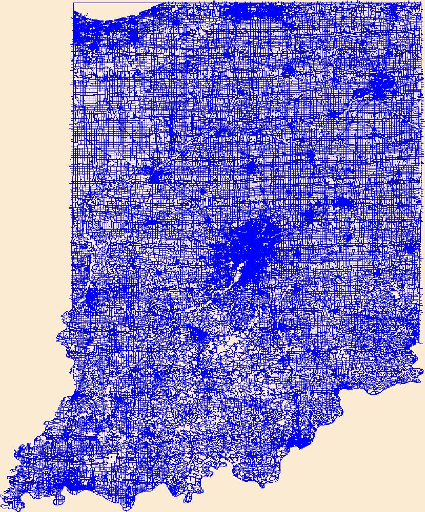
Layers of geospatial data include roads, airports, trails, and railroads.
Tags: Adams,
Airport Complex,
Airport Point,
Airport Runway,
Airports, All tags...
Airstrips,
Allen,
Bartholomew,
Benton,
Blackford,
Boone,
Brown,
Carroll,
Cass,
Clark,
Clay,
Clinton,
Crawford,
Daviess,
DeKalb,
Dearborn,
Decatur,
Delaware,
Downloadable Data,
Dubois,
Elkhart,
Esri File GeoDatabase 10,
Fayette,
FileGDB,
Floyd,
Fountain,
Franklin,
Fulton,
Geographic names,
Gibson,
Grant,
Greene,
Hamilton,
Hancock,
Harrison,
Hendricks,
Henry,
Howard,
Huntington,
IN,
Indiana,
Jackson,
Jasper,
Jay,
Jefferson,
Jennings,
Johnson,
Knox,
Kosciusko,
LaGrange,
LaPorte,
Lake,
Lawrence,
Madison,
Marion,
Marshall,
Martin,
Miami,
Monroe,
Montgomery,
Morgan,
National Transportation Dataset (NTD),
National Transportation Dataset (NTD),
Newton,
Noble,
Ohio,
Orange,
Owen,
Parke,
Perry,
Pike,
Porter,
Posey,
Pulaski,
Putnam,
Railways,
Randolph,
Ripley,
Roads,
Rush,
Scott,
Shelby,
Spencer,
St. Joseph,
Starke,
State,
State,
Steuben,
Sullivan,
Switzerland,
Tippecanoe,
Tipton,
Trail,
Trails,
Transportation,
Transportation,
US,
Union,
United States,
Vanderburgh,
Vermillion,
Vigo,
Wabash,
Warren,
Warrick,
Washington,
Waterway,
Wayne,
Wells,
White,
Whitley,
transportation, Fewer tags
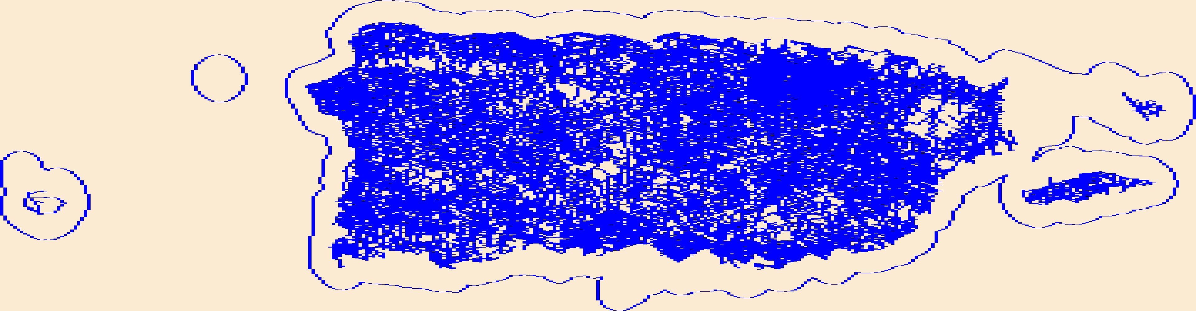
Layers of geospatial data include roads, airports, trails, and railroads.
Tags: Adjuntas,
Aguada,
Aguadilla,
Aguas Buenas,
Aibonito, All tags...
Airport Complex,
Airport Point,
Airport Runway,
Airports,
Airstrips,
Arecibo,
Arroyo,
Añasco,
Barceloneta,
Barranquitas,
Bayamón,
Cabo Rojo,
Caguas,
Camuy,
Canóvanas,
Carolina,
Cataño,
Cayey,
Ceiba,
Ciales,
Cidra,
Coamo,
Comerío,
Corozal,
Culebra,
Dorado,
Downloadable Data,
Esri File GeoDatabase 10,
Fajardo,
FileGDB,
Florida,
Geographic names,
Guayama,
Guayanilla,
Guaynabo,
Gurabo,
Guánica,
Hatillo,
Hormigueros,
Humacao,
Isabela,
Jayuya,
Juana Díaz,
Juncos,
Lajas,
Lares,
Las Marías,
Las Piedras,
Loíza,
Luquillo,
Manatí,
Maricao,
Maunabo,
Mayagüez,
Moca,
Morovis,
Naguabo,
Naranjito,
National Transportation Dataset (NTD),
National Transportation Dataset (NTD),
Orocovis,
PR,
Patillas,
Peñuelas,
Ponce,
Puerto Rico,
Quebradillas,
Railways,
Rincón,
Roads,
Río Grande,
Sabana Grande,
Salinas,
San Germán,
San Juan,
San Lorenzo,
San Sebastián,
Santa Isabel,
State,
State,
Toa Alta,
Toa Baja,
Trail,
Trails,
Transportation,
Transportation,
Trujillo Alto,
US,
United States,
Utuado,
Vega Alta,
Vega Baja,
Vieques,
Villalba,
Waterway,
Yabucoa,
Yauco,
transportation, Fewer tags
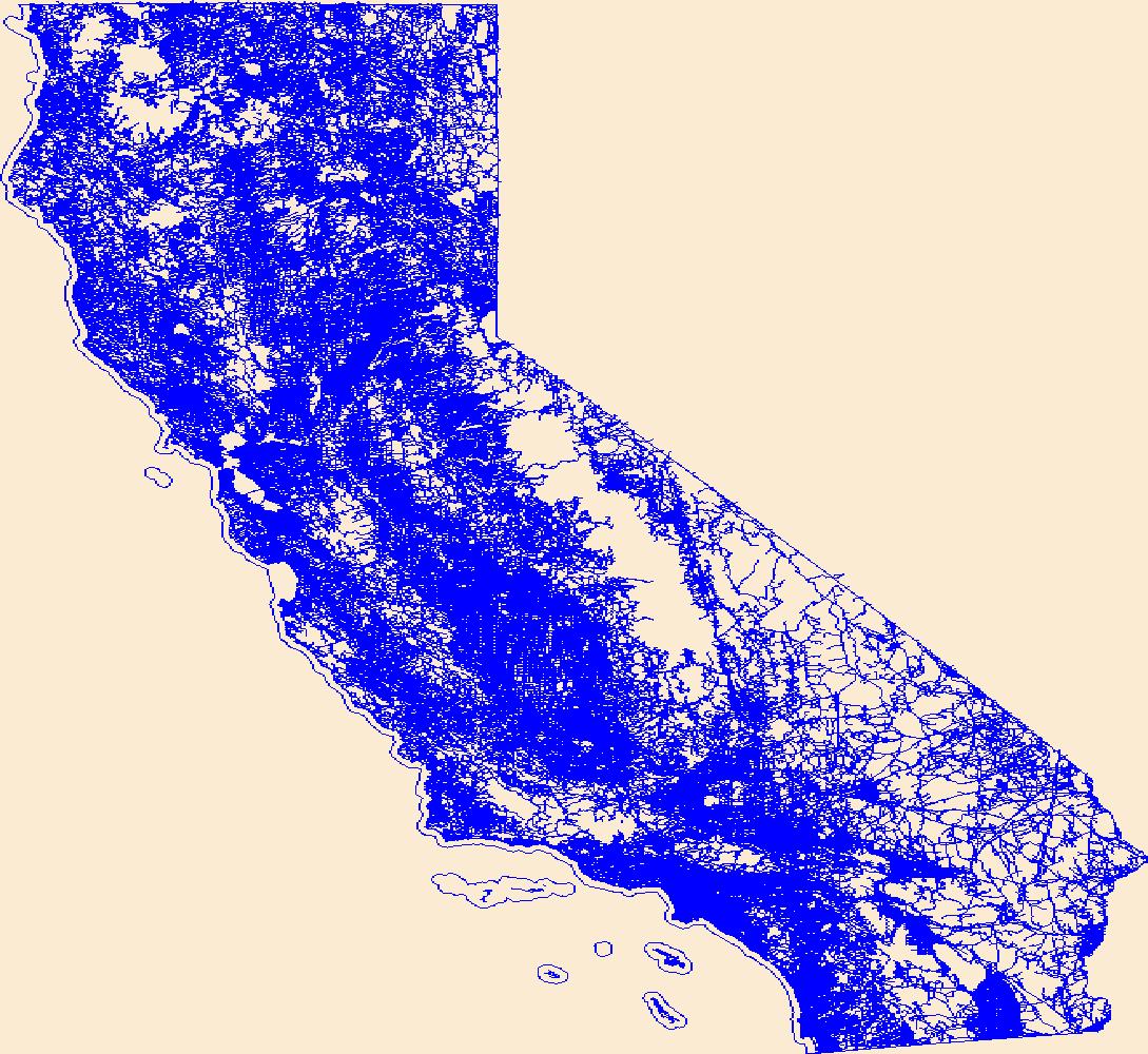
Layers of geospatial data include roads, airports, trails, and railroads.
Tags: Airport Complex,
Airport Point,
Airport Runway,
Airports,
Airstrips, All tags...
Alameda,
Alpine,
Amador,
Butte,
CA,
Calaveras,
California,
Colusa,
Contra Costa,
Del Norte,
Downloadable Data,
El Dorado,
Esri File GeoDatabase 10,
FileGDB,
Fresno,
Geographic names,
Glenn,
Humboldt,
Imperial,
Inyo,
Kern,
Kings,
Lake,
Lassen,
Los Angeles,
Madera,
Marin,
Mariposa,
Mendocino,
Merced,
Modoc,
Mono,
Monterey,
Napa,
National Transportation Dataset (NTD),
National Transportation Dataset (NTD),
Nevada,
Orange,
Placer,
Plumas,
Railways,
Riverside,
Roads,
Sacramento,
San Benito,
San Bernardino,
San Diego,
San Francisco,
San Joaquin,
San Luis Obispo,
San Mateo,
Santa Barbara,
Santa Clara,
Santa Cruz,
Shasta,
Sierra,
Siskiyou,
Solano,
Sonoma,
Stanislaus,
State,
State,
Sutter,
Tehama,
Trail,
Trails,
Transportation,
Transportation,
Trinity,
Tulare,
Tuolumne,
US,
United States,
Ventura,
Waterway,
Yolo,
Yuba,
transportation, Fewer tags
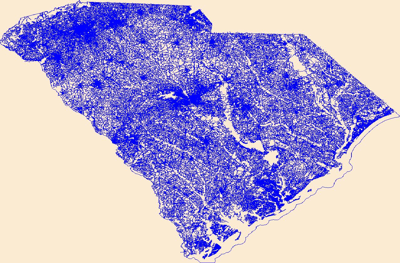
Layers of geospatial data include roads, airports, trails, and railroads.
Tags: Abbeville,
Aiken,
Airport Complex,
Airport Point,
Airport Runway, All tags...
Airports,
Airstrips,
Allendale,
Anderson,
Bamberg,
Barnwell,
Beaufort,
Berkeley,
Calhoun,
Charleston,
Cherokee,
Chester,
Chesterfield,
Clarendon,
Colleton,
Darlington,
Dillon,
Dorchester,
Downloadable Data,
Edgefield,
Esri File GeoDatabase 10,
Fairfield,
FileGDB,
Florence,
Geographic names,
Georgetown,
Greenville,
Greenwood,
Hampton,
Horry,
Jasper,
Kershaw,
Lancaster,
Laurens,
Lee,
Lexington,
Marion,
Marlboro,
McCormick,
National Transportation Dataset (NTD),
National Transportation Dataset (NTD),
Newberry,
Oconee,
Orangeburg,
Pickens,
Railways,
Richland,
Roads,
SC,
Saluda,
South Carolina,
Spartanburg,
State,
State,
Sumter,
Trail,
Trails,
Transportation,
Transportation,
US,
Union,
United States,
Waterway,
Williamsburg,
York,
transportation, Fewer tags
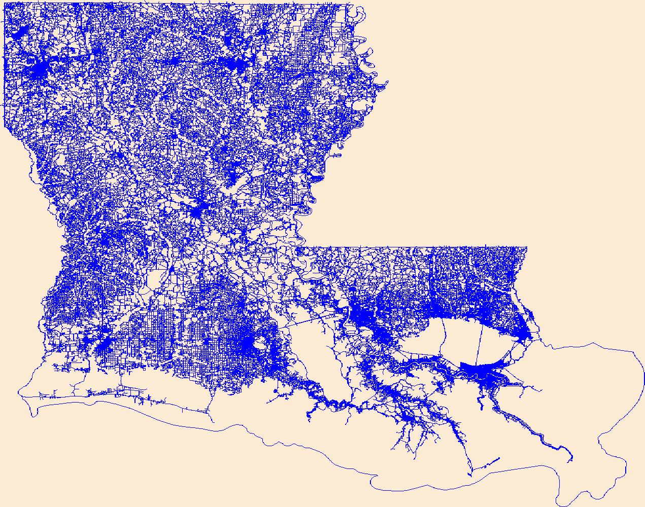
Layers of geospatial data include roads, airports, trails, and railroads.
Tags: Acadia,
Airport Complex,
Airport Point,
Airport Runway,
Airports, All tags...
Airstrips,
Allen,
Ascension,
Assumption,
Avoyelles,
Beauregard,
Bienville,
Bossier,
Caddo,
Calcasieu,
Caldwell,
Cameron,
Catahoula,
Claiborne,
Concordia,
De Soto,
Downloadable Data,
East Baton Rouge,
East Carroll,
East Feliciana,
Evangeline,
Franklin,
GeoPackage,
Geographic names,
Grant,
Iberia,
Iberville,
Jackson,
Jefferson,
Jefferson Davis,
LA,
LaSalle,
Lafayette,
Lafourche,
Lincoln,
Livingston,
Louisiana,
Madison,
Morehouse,
Natchitoches,
National Transportation Dataset (NTD),
National Transportation Dataset (NTD),
Open Geospatial Consortium GeoPackage 1.2,
Orleans,
Ouachita,
Plaquemines,
Pointe Coupee,
Railways,
Rapides,
Red River,
Richland,
Roads,
Sabine,
St. Bernard,
St. Charles,
St. Helena,
St. James,
St. John the Baptist,
St. Landry,
St. Martin,
St. Mary,
St. Tammany,
State,
State,
Tangipahoa,
Tensas,
Terrebonne,
Trail,
Trails,
Transportation,
Transportation,
US,
Union,
United States,
Vermilion,
Vernon,
Washington,
Waterway,
Webster,
West Baton Rouge,
West Carroll,
West Feliciana,
Winn,
transportation, Fewer tags
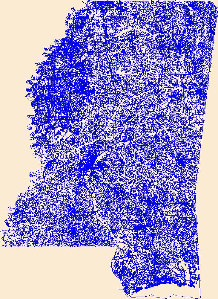
Layers of geospatial data include roads, airports, trails, and railroads.
Tags: Adams,
Airport Complex,
Airport Point,
Airport Runway,
Airports, All tags...
Airstrips,
Alcorn,
Amite,
Attala,
Benton,
Bolivar,
Calhoun,
Carroll,
Chickasaw,
Choctaw,
Claiborne,
Clarke,
Clay,
Coahoma,
Copiah,
Covington,
DeSoto,
Downloadable Data,
Forrest,
Franklin,
GeoPackage,
Geographic names,
George,
Greene,
Grenada,
Hancock,
Harrison,
Hinds,
Holmes,
Humphreys,
Issaquena,
Itawamba,
Jackson,
Jasper,
Jefferson,
Jefferson Davis,
Jones,
Kemper,
Lafayette,
Lamar,
Lauderdale,
Lawrence,
Leake,
Lee,
Leflore,
Lincoln,
Lowndes,
MS,
Madison,
Marion,
Marshall,
Mississippi,
Monroe,
Montgomery,
National Transportation Dataset (NTD),
National Transportation Dataset (NTD),
Neshoba,
Newton,
Noxubee,
Oktibbeha,
Open Geospatial Consortium GeoPackage 1.2,
Panola,
Pearl River,
Perry,
Pike,
Pontotoc,
Prentiss,
Quitman,
Railways,
Rankin,
Roads,
Scott,
Sharkey,
Simpson,
Smith,
State,
State,
Stone,
Sunflower,
Tallahatchie,
Tate,
Tippah,
Tishomingo,
Trail,
Trails,
Transportation,
Transportation,
Tunica,
US,
Union,
United States,
Walthall,
Warren,
Washington,
Waterway,
Wayne,
Webster,
Wilkinson,
Winston,
Yalobusha,
Yazoo,
transportation, Fewer tags
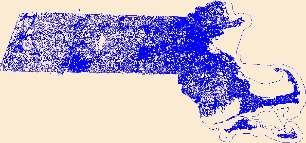
Layers of geospatial data include roads, airports, trails, and railroads.
Tags: Airport Complex,
Airport Point,
Airport Runway,
Airports,
Airstrips, All tags...
Barnstable,
Berkshire,
Bristol,
Downloadable Data,
Dukes,
Essex,
Franklin,
GeoPackage,
Geographic names,
Hampden,
Hampshire,
MA,
Massachusetts,
Middlesex,
Nantucket,
National Transportation Dataset (NTD),
National Transportation Dataset (NTD),
Norfolk,
Open Geospatial Consortium GeoPackage 1.2,
Plymouth,
Railways,
Roads,
State,
State,
Suffolk,
Trail,
Trails,
Transportation,
Transportation,
US,
United States,
Waterway,
Worcester,
transportation, Fewer tags
|
|

