Filters: Tags: Troy, NH (X)
5 results (81ms)|
Filters
Date Range
Contacts
Categories Tag Types Tag Schemes |
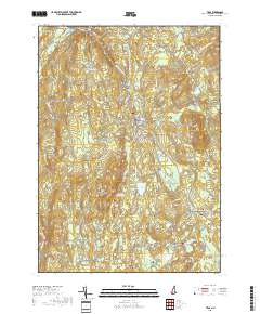
Layered geospatial PDF 7.5 Minute Quadrangle Map. Layers of geospatial data include orthoimagery, roads, grids, geographic names, elevation contours, hydrography, and other selected map features. This map is derived from GIS (geospatial information system) data. It represents a repackaging of GIS data in traditional map form, not creation of new information. The geospatial data in this map are from selected National Map data holdings and other government sources.
In 2022, the U.S. Geological Survey (USGS) in cooperation with the New Hampshire Department of Transportation (NHDOT) made 107 horizontal-to-vertical spectral ratio (HVSR) passive seismic geophysical measurements at four transportation infrastructure sites in New Hampshire to determine the benefits of HVSR as an enhancement to traditional geotechnical site characterizations performed by NHDOT. Typically, data are obtained from the subsurface during borings to characterize geotechnical properties but often borings are spaced hundreds of feet apart. Geotechnical site characterization guided by geophysical surveys (such as the HVSR method) between borings will help provide a more thorough characterization. By combining...
Categories: Data;
Tags: Canterbury, NH,
Geophysics,
Geophysics,
Groundwater,
Horizontal-to-Vertical Spectral Ratio (HVSR) Seismic,
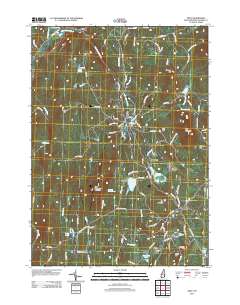
Layered GeoPDF 7.5 Minute Quadrangle Map. Layers of geospatial data include orthoimagery, roads, grids, geographic names, elevation contours, hydrography, and other selected map features.
In 2022, the U.S. Geological Survey (USGS) New England Water Science Center, in cooperation with the New Hampshire Department of Transportation (NHDOT), surveyed four transportation infrastructure sites with frequency-domain electromagnetic induction (EMI) instruments and one site with ground-penetrating radar (GPR) to aid traditional geotechnical site characterizations performed by NHDOT. Information about subsurface physical properties is typically obtained through the use of borings during geotechnical site characterizations. Geotechnical site investigations that also include geophysical surveys (such as the EMI and GPR methods) between borings help provide more thorough characterizations. Integrated analysis...
Categories: Data;
Tags: Canterbury, NH,
Geophysics,
Geophysics,
Ground penetrating radar (GPR),
Groundwater,
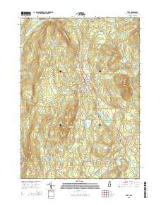
Layered GeoPDF 7.5 Minute Quadrangle Map. Layers of geospatial data include orthoimagery, roads, grids, geographic names, elevation contours, hydrography, and other selected map features.
|

|
