Filters: Tags: Valencia County (X)
106 results (110ms)|
Filters
Date Range
Types Contacts
Categories Tag Types
|
An aerial LiDAR survey of the lower Rio Puerco was conducted in April and July 2005 by Spectrum Mapping, LLC, under contract with the USGS (Contract #14040050). The surveyed reach extends from the NM Highway 6 crossing 55 km downvalley to the old Highway 85 bridge near the USGS streamgage near Bernardo, NM. Survey procedures, equipment and products are described in the Rio Puerco Project Report (Spectrum Mapping, LLC, Aug. 1, 2005), provided with this data set. The survey data include breaklines (shapefiles) used to process the elevation data, bare-earth Digital Terrain Models (DTMs) with 2-m cell size in the ArcGrid format, LAS-formatted files, and the original random xyz data. Results from analyses using these...
RIO GRANDE AT ISLETA, NM
RIO GRANDE AT ISLETA, NM
RIO GRANDE AT ISLETA, NM
RIO GRANDE AT ISLETA, NM
RIO GRANDE AT ISLETA, NM
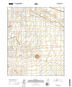
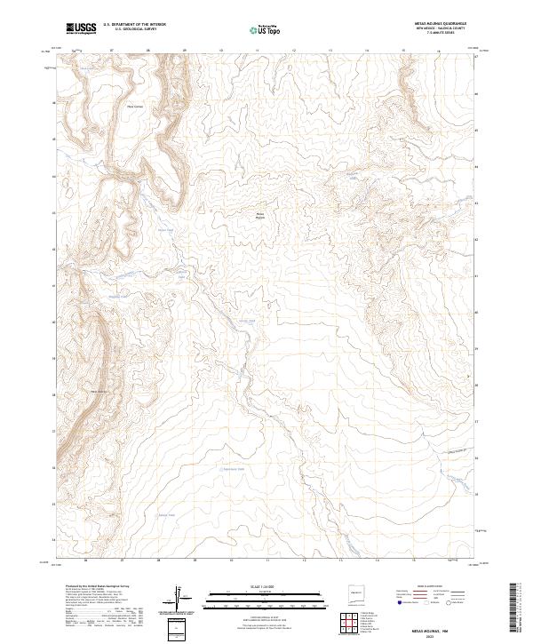
Layered geospatial PDF 7.5 Minute Quadrangle Map. Layers of geospatial data include orthoimagery, roads, grids, geographic names, elevation contours, hydrography, and other selected map features. This map is derived from GIS (geospatial information system) data. It represents a repackaging of GIS data in traditional map form, not creation of new information. The geospatial data in this map are from selected National Map data holdings and other government sources.
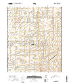
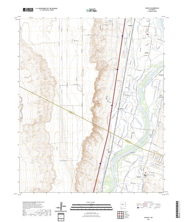
Layered geospatial PDF 7.5 Minute Quadrangle Map. Layers of geospatial data include orthoimagery, roads, grids, geographic names, elevation contours, hydrography, and other selected map features. This map is derived from GIS (geospatial information system) data. It represents a repackaging of GIS data in traditional map form, not creation of new information. The geospatial data in this map are from selected National Map data holdings and other government sources.
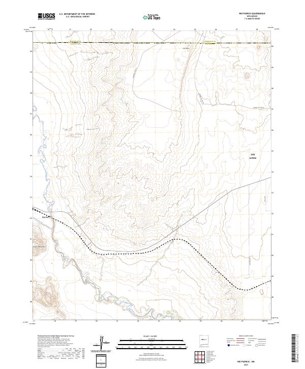
Layered geospatial PDF 7.5 Minute Quadrangle Map. Layers of geospatial data include orthoimagery, roads, grids, geographic names, elevation contours, hydrography, and other selected map features. This map is derived from GIS (geospatial information system) data. It represents a repackaging of GIS data in traditional map form, not creation of new information. The geospatial data in this map are from selected National Map data holdings and other government sources.
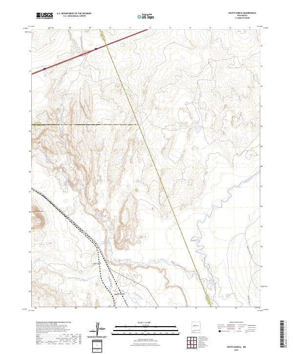
Layered geospatial PDF 7.5 Minute Quadrangle Map. Layers of geospatial data include orthoimagery, roads, grids, geographic names, elevation contours, hydrography, and other selected map features. This map is derived from GIS (geospatial information system) data. It represents a repackaging of GIS data in traditional map form, not creation of new information. The geospatial data in this map are from selected National Map data holdings and other government sources.
Layered geospatial PDF 7.5 Minute Quadrangle Map. Layers of geospatial data include orthoimagery, roads, grids, geographic names, elevation contours, hydrography, and other selected map features. This map is derived from GIS (geospatial information system) data. It represents a repackaging of GIS data in traditional map form, not creation of new information. The geospatial data in this map are from selected National Map data holdings and other government sources.
Layered geospatial PDF 7.5 Minute Quadrangle Map. Layers of geospatial data include orthoimagery, roads, grids, geographic names, elevation contours, hydrography, and other selected map features. This map is derived from GIS (geospatial information system) data. It represents a repackaging of GIS data in traditional map form, not creation of new information. The geospatial data in this map are from selected National Map data holdings and other government sources.
Layered geospatial PDF 7.5 Minute Quadrangle Map. Layers of geospatial data include orthoimagery, roads, grids, geographic names, elevation contours, hydrography, and other selected map features. This map is derived from GIS (geospatial information system) data. It represents a repackaging of GIS data in traditional map form, not creation of new information. The geospatial data in this map are from selected National Map data holdings and other government sources.
RIO GRANDE AT ISLETA, NM
RIO GRANDE AT ISLETA, NM
RIO GRANDE AT ISLETA, NM
RIO GRANDE AT ISLETA, NM
This Data Release contains various types of hydrologic and geologic data from the Upper Rio Grande Focus Area Study from 1921-2017, including groundwater-level measurement data compiled and synthesized from various sources, water-level altitude and water-level change maps developed from the water-level measurement data every 5 years from 1980-2015, and the horizontal extent of 13 alluvial basins in the Upper Rio Grande Basin
Types: Map Service,
OGC WFS Layer,
OGC WMS Layer,
OGC WMS Service;
Tags: Abiquiu Reservoir,
Ahumada,
Alamosa,
Alamosa County,
Alamosa Creek,
Layered geospatial PDF 7.5 Minute Quadrangle Map. Layers of geospatial data include orthoimagery, roads, grids, geographic names, elevation contours, hydrography, and other selected map features. This map is derived from GIS (geospatial information system) data. It represents a repackaging of GIS data in traditional map form, not creation of new information. The geospatial data in this map are from selected National Map data holdings and other government sources.
|

|
