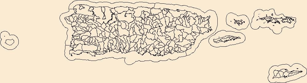
Filters: Tags: Villalba County (X)
18 results (124ms)|
Filters
Date Range
Extensions Types
Contacts
Categories Tag Types Tag Schemes |
This dataset is a point shapefile containing water-depth points collected during a sedimention survey of Lago Guayabal conducted during the period December 11- December 14, 2017 by the Puerto Rico office of the Caribbean-Florida Water Science Center of the U.S. Geological Survey (USGS). The goals of the survey were to determine reservoir infill sedimentation rates, generate a bathymetric map of the reservoir, and create a stage-volume relation. More than 270,000 water-depth points were surveyed along 60 navigation lines used in previous sedimentation surveys (Soler-Lopez, 2003, 2007, 2008). All water-depth data were collected using a Teledyne-Odom Echotrac CVM depth sounder coupled to a Global Positioning System...
Categories: Data;
Types: Downloadable,
Map Service,
OGC WFS Layer,
OGC WMS Layer,
Shapefile;
Tags: Bathymetry and Elevation,
GNIS 1611313,
Juana Diaz,
Lago Guayabal,
Puerto Rico,

The High Resolution National Hydrography Dataset Plus (NHDPlus HR) is an integrated set of geospatial data layers, including the best available National Hydrography Dataset (NHD), the 10-meter 3D Elevation Program Digital Elevation Model (3DEP DEM), and the National Watershed Boundary Dataset (WBD). The NHDPlus HR combines the NHD, 3DEP DEMs, and WBD to create a stream network with linear referencing, feature naming, "value added attributes" (VAAs), elevation-derived catchments, and other features for hydrologic data analysis. The stream network with linear referencing is a system of data relationships applied to hydrographic systems so that one stream reach "flows" into another and "events" can be tied to and traced...
USGS Topo Map Vector Data (Vector) 22454 Jayuya, Puerto Rico 20190306 for 7.5 x 7.5 minute Shapefile
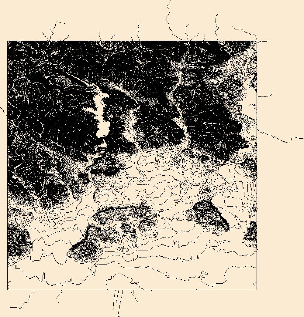
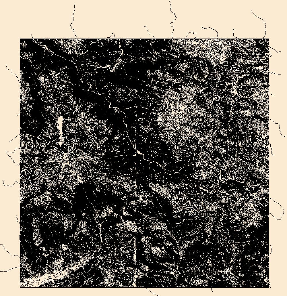
Layers of geospatial data include contours, boundaries, land cover, hydrography, roads, transportation, geographic names, structures, and other selected map features.
Types: Citation;
Tags: 7.5 x 7.5 minute,
7.5 x 7.5 minute,
Ciales County,
Combined Vector,
Combined Vector,

Layers of geospatial data include contours, boundaries, land cover, hydrography, roads, transportation, geographic names, structures, and other selected map features.
Types: Citation;
Tags: 7.5 x 7.5 minute,
7.5 x 7.5 minute,
Combined Vector,
Combined Vector,
Combined Vector,
This dataset is a polyline shapefile containing bathymetric contours, at 1-meter intervals, of Lago Guayabal, Villalba, Puerto Rico. The contours were generated from bathymetric data collected during a sedimentation survey conducted during the period December 11- December 14, 2017 by the Puerto Rico office of the Caribbean-Florida Water Science Center of the U.S. Geological Survey (USGS). The goals of the survey were to determine reservoir infill sedimentation rates, generate a bathymetric map of the reservoir, and create a stage-volume relation. Field techniques used during the survey were similar to those outlined by Soler-López (2008) and Wilson and Richards (2006). More than 270,000 water-depth points were surveyed...
Categories: Data;
Types: Downloadable,
Map Service,
OGC WFS Layer,
OGC WMS Layer,
Shapefile;
Tags: Bathymetry and Elevation,
GNIS ID 1611313,
Geographic Names Informaion System,
Juana Diaz County,
Lago Guayabal,

Layers of geospatial data include contours, boundaries, land cover, hydrography, roads, transportation, geographic names, structures, and other selected map features.
Types: Citation;
Tags: 7.5 x 7.5 minute,
7.5 x 7.5 minute,
Coamo County,
Combined Vector,
Combined Vector,

Layers of geospatial data include contours, boundaries, land cover, hydrography, roads, transportation, geographic names, structures, and other selected map features.
Types: Citation;
Tags: 7.5 x 7.5 minute,
7.5 x 7.5 minute,
Ciales County,
Combined Vector,
Combined Vector,
This data release contains spatial data associated with the sedimentation survey of Lago Guayabal conducted during the period December 11- December 14, 2017 by the Puerto Rico office of the Caribbean-Florida Water Science Center (CFWSC) of the U.S. Geological Survey (USGS). The goals of the survey were to determine reservoir infill sedimentation rates, generate a bathymetric map of the reservoir, and create a stage-volume relation. Field data collection involved measuring water depth along predetermined navigation lines. More than 270,000 water-depth points were surveyed along 60 navigation lines and All water-depth data were collected using a Teledyne-Odom Echotrac CVM depth sounder coupled to a Global Positioning...
Types: Map Service,
OGC WFS Layer,
OGC WMS Layer,
OGC WMS Service;
Tags: Bathymetry and Elevation,
GNIS 1611313,
Geography,
Hydrology,
Juana Diaz,

Layers of geospatial data include contours, boundaries, land cover, hydrography, roads, transportation, geographic names, structures, and other selected map features.
Types: Citation;
Tags: 7.5 x 7.5 minute,
7.5 x 7.5 minute,
Ciales County,
Coamo County,
Combined Vector,
Layers of geospatial data include contours, boundaries, land cover, hydrography, roads, transportation, geographic names, structures, and other selected map features.
Types: Citation;
Tags: 7.5 x 7.5 minute,
7.5 x 7.5 minute,
Combined Vector,
Combined Vector,
Combined Vector,

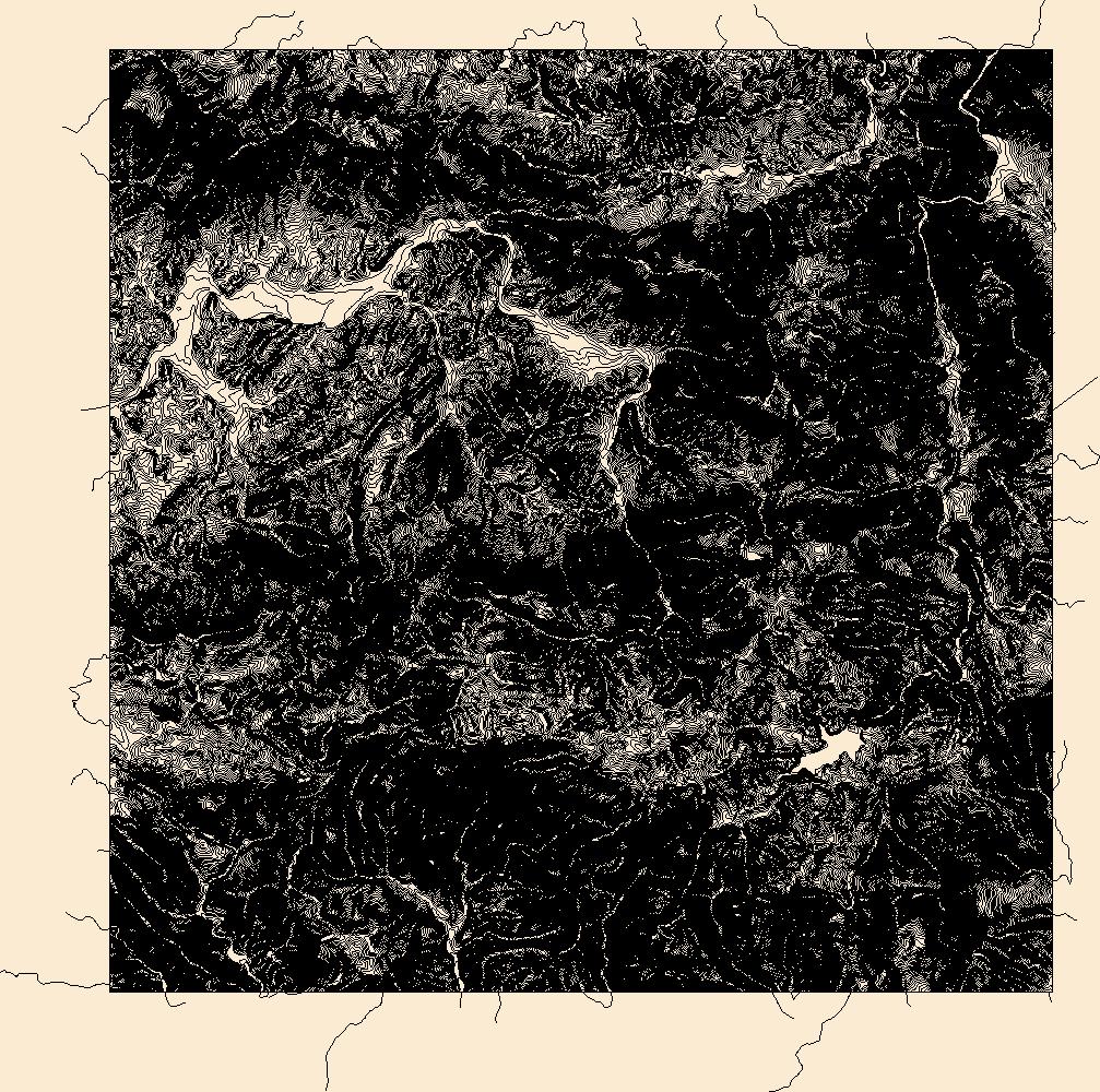
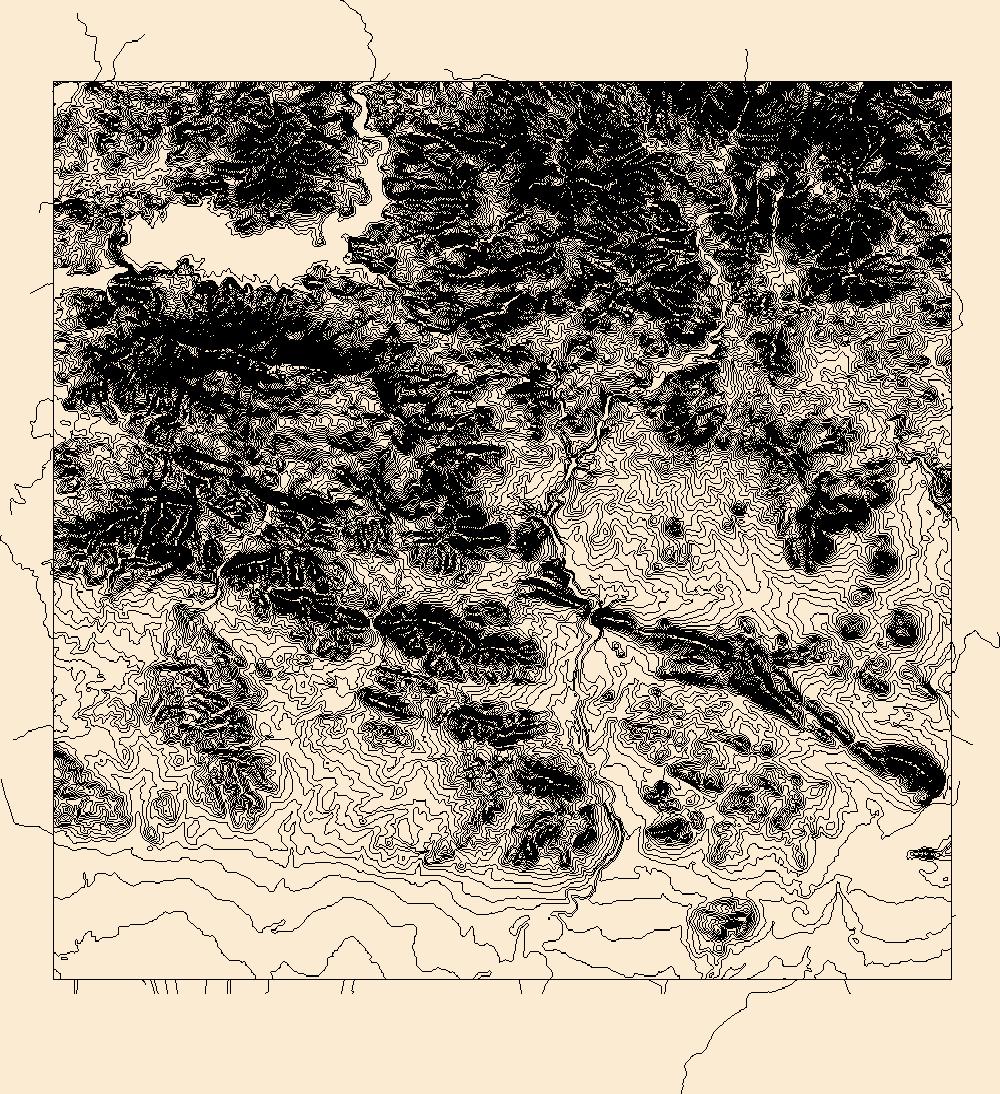
These vector contour lines are derived from the 3D Elevation Program using automated and semi-automated processes. They were created to support 1:24,000-scale CONUS and Hawaii, 1:25,000-scale Alaska, and 1:20,000-scale Puerto Rico / US Virgin Island topographic map products, but are also published in this GIS vector format. Contour intervals are assigned by 7.5-minute quadrangle, so this vector dataset is not visually seamless across quadrangle boundaries. The vector lines have elevation attributes (in feet above mean sea level on NAVD88), but this dataset does not carry line symbols or annotation.
These vector contour lines are derived from the 3D Elevation Program using automated and semi-automated processes. They were created to support 1:24,000-scale CONUS and Hawaii, 1:25,000-scale Alaska, and 1:20,000-scale Puerto Rico / US Virgin Island topographic map products, but are also published in this GIS vector format. Contour intervals are assigned by 7.5-minute quadrangle, so this vector dataset is not visually seamless across quadrangle boundaries. The vector lines have elevation attributes (in feet above mean sea level on NAVD88), but this dataset does not carry line symbols or annotation.
Layers of geospatial data include contours, boundaries, land cover, hydrography, roads, transportation, geographic names, structures, and other selected map features.
Types: Citation;
Tags: 7.5 x 7.5 minute,
7.5 x 7.5 minute,
Ciales County,
Coamo County,
Combined Vector,
This dataset is a polygon shapefile containing reservoir boundary of Lago Guayabal, and represents the contour at the spillway elevation. This polygon was used to constraint the extent of the Triangulated irregular network (TIN) model and ultimately, to generate contours from bathymetric data collected during a sedimentation survey conducted during the period December 11- December 14, 2017 by the Puerto Rico office of the Caribbean-Florida Water Science Center of the U.S. Geological Survey (USGS). The goals of the survey were to determine reservoir infill sedimentation rates, generate a bathymetric map of the reservoir, and create a stage-volume relation. Field techniques used during the survey were similar to those...
Categories: Data;
Types: Downloadable,
Map Service,
OGC WFS Layer,
OGC WMS Layer,
Shapefile;
Tags: Bathymetry and Elevation,
GNIS ID 1611313,
Geographic Names Informaion System,
Juana Diaz County,
Lago Guayabal,
The Watershed Boundary Dataset (WBD) is a comprehensive aggregated collection of hydrologic unit data consistent with the national criteria for delineation and resolution. It defines the areal extent of surface water drainage to a point except in coastal or lake front areas where there could be multiple outlets as stated by the "Federal Standards and Procedures for the National Watershed Boundary Dataset (WBD)" "Standard" (https://pubs.usgs.gov/tm/11/a3/). Watershed boundaries are determined solely upon science-based hydrologic principles, not favoring any administrative boundaries or special projects, nor particular program or agency. This dataset represents the hydrologic unit boundaries to the 12-digit (6th level)...

The Watershed Boundary Dataset (WBD) is a comprehensive aggregated collection of hydrologic unit data consistent with the national criteria for delineation and resolution. It defines the areal extent of surface water drainage to a point except in coastal or lake front areas where there could be multiple outlets as stated by the "Federal Standards and Procedures for the National Watershed Boundary Dataset (WBD)" "Standard" (https://pubs.usgs.gov/tm/11/a3/). Watershed boundaries are determined solely upon science-based hydrologic principles, not favoring any administrative boundaries or special projects, nor particular program or agency. This dataset represents the hydrologic unit boundaries to the 12-digit (6th level)...

The Watershed Boundary Dataset (WBD) is a comprehensive aggregated collection of hydrologic unit data consistent with the national criteria for delineation and resolution. It defines the areal extent of surface water drainage to a point except in coastal or lake front areas where there could be multiple outlets as stated by the "Federal Standards and Procedures for the National Watershed Boundary Dataset (WBD)" "Standard" (https://pubs.usgs.gov/tm/11/a3/). Watershed boundaries are determined solely upon science-based hydrologic principles, not favoring any administrative boundaries or special projects, nor particular program or agency. This dataset represents the hydrologic unit boundaries to the 12-digit (6th level)...
Layers of geospatial data include contours, boundaries, land cover, hydrography, roads, transportation, geographic names, structures, and other selected map features.
Types: Citation;
Tags: 7.5 x 7.5 minute,
7.5 x 7.5 minute,
Coamo County,
Combined Vector,
Combined Vector,
|

|
