Filters
Date Range
Extensions
Types
Contacts
Categories
Tag Types
Tag Schemes
|

When a species is proposed for listing as endangered or threatened under the Endangered Species Act, the U.S. Fish and Wildlife Service must consider whether there are areas of habitat believed to be essential the species’ conservation. Those areas may be proposed for designation as “critical habitat.” Critical habitat is a term defined and used in the Act. It is a specific geographic area(s) that contains features essential for the conservation of a threatened or endangered species and that may require special management and protection. Critical habitat may include an area that is not currently occupied by the species but that will be needed for its recovery. An area is designated as “critical habitat” after the...
Categories: Data;
Types: ArcGIS REST Map Service,
ArcGIS Service Definition,
Downloadable,
Map Service;
Tags: Alabama,
Alaska,
Arizona,
Arkansas,
Biota, All tags...
California,
Colorado,
Critical Habitat,
Endangered species,
Florida,
Georgia,
Hawaii,
Idaho,
Illinois,
Indiana,
Iowa,
Kansas,
Kentucky,
Listed species,
Louisiana,
Maine,
Maryland,
Massachusetts,
Michigan,
Minnesota,
Mississippi,
Missouri,
Montana,
Nebraska,
Nevada,
New Mexico,
North Carolina,
North Dakota,
Northern Mariana Islands,
Ohio,
Oklahoma,
Oregon,
Pennsylvania,
Puerto Rico,
South Carolina,
South Dakota,
Tennessee,
Texas,
Threatened species,
US Fish and Wildlife Service,
United States,
Utah,
Virgin Islands,
Virginia,
Washington,
West Virginia,
Wisconsin,
Wyoming,
biota,
critical habitat,
environment,
ngda, Fewer tags
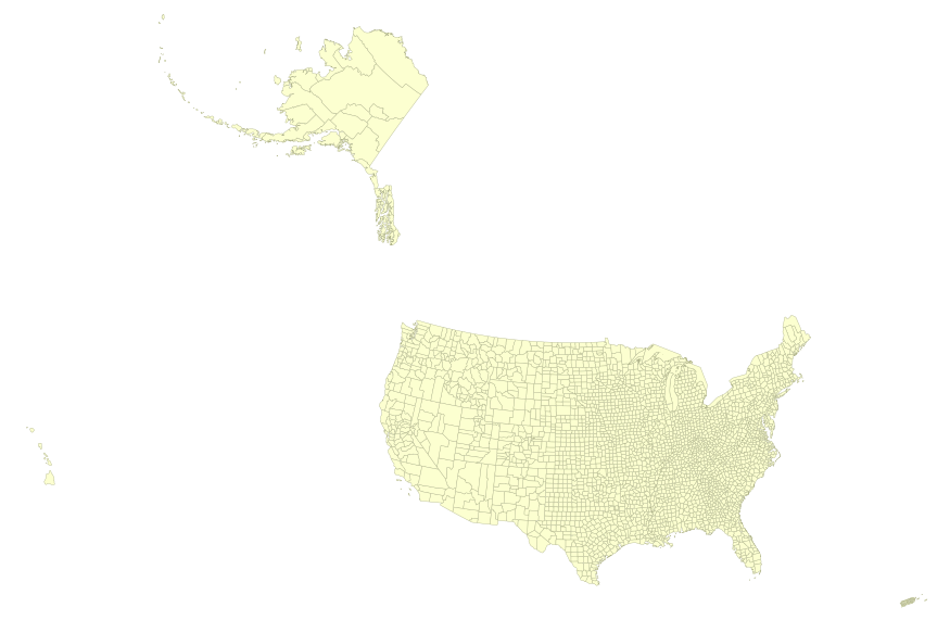
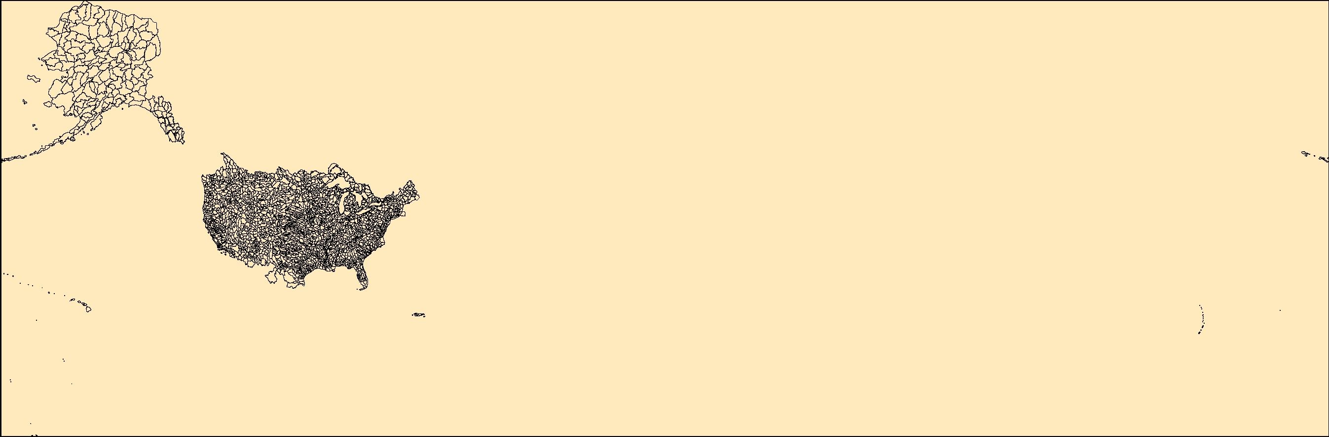
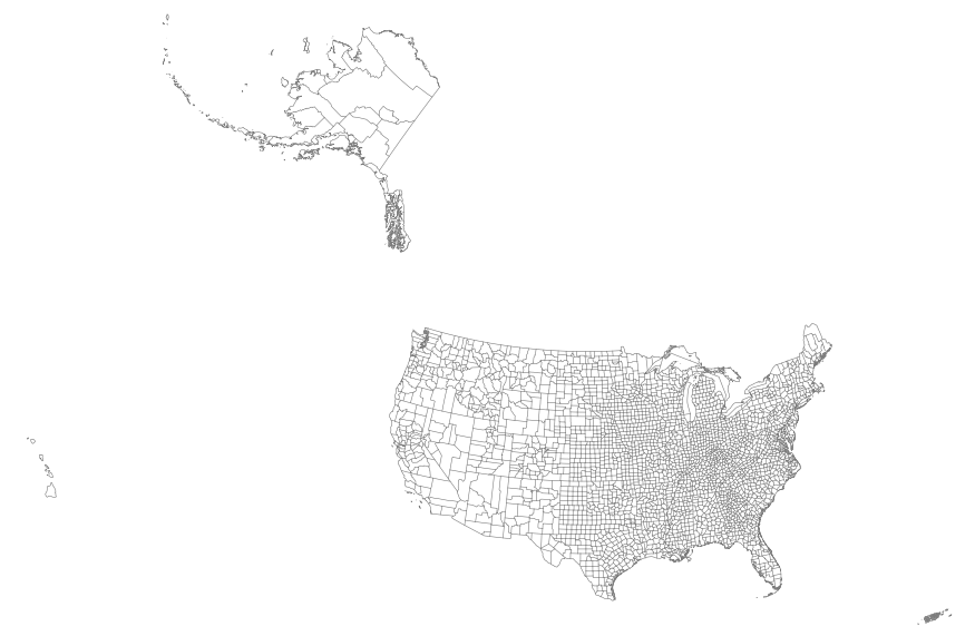
This map layer portrays the county boundaries of the United States, Puerto Rico, and the U.S. Virgin Islands, by showing the counties as areas. The map layer was created by extracting county polygon features from the CENSUS 2006 TIGER/Line files produced by the U.S. Census Bureau. These files were then merged into a single file. This is a revised version of the July 2012 map layer.
Types: Citation;
Tags: Alabama,
Alaska,
Arizona,
Arkansas,
California, All tags...
Colorado,
Connecticut,
Counties,
County boundaries,
Delaware,
District of Columbia,
Downloadable Data,
Downloadable Data,
Florida,
Georgia,
Hawaii,
Idaho,
Illinois,
Indiana,
Iowa,
Kansas,
Kentucky,
Louisiana,
Maine,
Maryland,
Massachusetts,
Michigan,
Minnesota,
Mississippi,
Missouri,
Montana,
National,
National,
National Atlas of the United States,
Nebraska,
Nevada,
New Hampshire,
New Jersey,
New Mexico,
New York,
North Carolina,
North Dakota,
Ohio,
Oklahoma,
Oregon,
Pennsylvania,
Puerto Rico,
Rhode Island,
Shapefile,
Shapefile,
Small-scale Datasets,
Small-scale Datasets,
Small-scale Datasets,
Small-scale Datasets - Boundaries,
South Carolina,
South Dakota,
Tennessee,
Texas,
U.S. Virgin Islands,
US,
USA,
United States,
Utah,
Vermont,
Virgin Islands,
Virginia,
Washington,
West Virginia,
Wisconsin,
Wyoming,
boundaries, Fewer tags

This map layer portrays the county boundaries of the United States, Puerto Rico, and the U.S. Virgin Islands, by showing the counties as areas. The map layer was created by extracting county polygon features from the CENSUS 2006 TIGER/Line files produced by the U.S. Census Bureau. These files were then merged into a single file. This is a revised version of the July 2012 map layer.
Types: Citation;
Tags: Alabama,
Alaska,
Arizona,
Arkansas,
California, All tags...
Colorado,
Connecticut,
Counties,
County boundaries,
Delaware,
District of Columbia,
Downloadable Data,
Downloadable Data,
FileGDB 10.1,
FileGDB 10.1,
Florida,
Georgia,
Hawaii,
Idaho,
Illinois,
Indiana,
Iowa,
Kansas,
Kentucky,
Louisiana,
Maine,
Maryland,
Massachusetts,
Michigan,
Minnesota,
Mississippi,
Missouri,
Montana,
National,
National,
National Atlas of the United States,
Nebraska,
Nevada,
New Hampshire,
New Jersey,
New Mexico,
New York,
North Carolina,
North Dakota,
Ohio,
Oklahoma,
Oregon,
Pennsylvania,
Puerto Rico,
Rhode Island,
Small-scale Datasets,
Small-scale Datasets,
Small-scale Datasets,
Small-scale Datasets - Boundaries,
South Carolina,
South Dakota,
Tennessee,
Texas,
U.S. Virgin Islands,
US,
USA,
United States,
Utah,
Vermont,
Virgin Islands,
Virginia,
Washington,
West Virginia,
Wisconsin,
Wyoming,
boundaries, Fewer tags

This map layer consists of federally owned or administered lands of the United States, Puerto Rico, and the U.S. Virgin Islands. For the most part, only areas of 320 acres or more are included; some smaller areas deemed to be important or significant are also included. There may be private inholdings within the boundaries of Federal lands in this map layer. Some established Federal lands which are larger than 320 acres are not included in this map layer, because their boundaries were not available from the owning or administering agency.
Tags: Air Force,
Alabama,
Alaska,
Arizona,
Arkansas, All tags...
Army,
BIA,
BLM,
BOR,
Bureau of Indian Affairs,
Bureau of Land Management,
Bureau of Reclamation,
California,
Coast Guard,
Colorado,
Connecticut,
Coordinated Area,
DHS,
DOC,
DOD,
DOE,
DOJ,
DOL,
DOT,
Delaware,
Department of Commerce,
Department of Defense,
Department of Energy,
Department of Health and Human Services,
Department of Homeland Security,
Department of Justice,
Department of Labor,
Department of Transportation,
Department of Veterans Affairs,
District of Columbia,
Downloadable Data,
Downloadable Data,
Experimental Range,
Experimental Station,
FS,
FWS,
Federal Center,
Federal Correctional Complex,
Federal Penitentiary,
Federal lands,
Field Site,
Fish and Wildlife Service,
Flight Center,
Florida,
Forest Service,
GSA,
General Services Administration,
Georgia,
HHS,
Hawaii,
Idaho,
Illinois,
Indian Reservation,
Indiana,
Iowa,
Job Corps Center,
Kansas,
Kentucky,
Law Enforcement Training Center,
Louisiana,
MWAA,
MWAA,
Maine,
Marine Corps,
Maryland,
Massachusetts,
Metropolitan Washington Airports Authority,
Michigan,
Minnesota,
Mississippi,
Missouri,
Montana,
NASA,
NIH,
NPS,
National,
National,
National Aeronautics and Space Administration,
National Battlefield,
National Cemetery,
National Conservation Area,
National Fish Hatchery,
National Forest,
National Game Preserve,
National Grassland,
National Guard,
National Historic Park,
National Historic Reserve,
National Historic Site,
National Institutes of Health,
National Laboratory,
National Lakeshore,
National Memorial,
National Military Park,
National Monument,
National Natural Landmark,
National Park,
National Park Service,
National Parkway,
National Preserve,
National Recreation Area,
National Reserve,
National Scenic Area,
National Seashore,
National Wild and Scenic River,
National Wilderness Area,
National Wildlife Refuge,
Naval Petroleum Reserve,
Navy,
Nebraska,
Nevada,
New Hampshire,
New Jersey,
New Mexico,
New York,
North Carolina,
North Dakota,
Ohio,
Oklahoma,
Oregon,
Pennsylvania,
Public Domain Land,
Puerto Rico,
Research Facility,
Research Natural Area,
Research Station,
Rhode Island,
Scenic Area,
Shapefile,
Shapefile,
Small-scale Datasets,
Small-scale Datasets,
Small-scale Datasets,
Small-scale Datasets - Boundaries,
South Carolina,
South Dakota,
Space Center,
TVA,
Tennessee,
Tennessee Valley Authority,
Test Site,
Texas,
U.S. Coast Guard,
U.S. Department of Agriculture,
U.S. Fish and Wildlife Service,
U.S. Forest Service,
U.S. Virgin Islands,
US,
USA,
USDA,
United States,
Utah,
VA,
Vermont,
Virgin Islands,
Virginia,
Washington,
Waterfowl Production Area,
West Virginia,
Wild Horse Range,
Wild and Scenic River,
Wilderness Area,
Wildlife Management Area,
Wisconsin,
Wyoming,
boundaries,
intelligenceMilitary,
society, Fewer tags
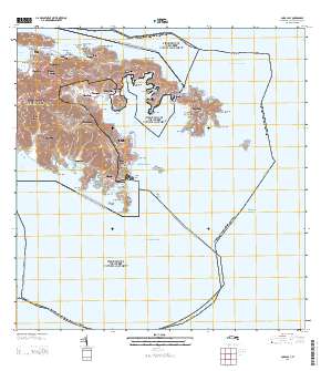
Layered GeoPDF Quadrangle Map. Layers of geospatial data include orthoimagery, roads, grids, geographic names, elevation contours, hydrography, and other selected map features.
Types: Citation;
Tags: 7.5 x 7.5 minute,
Coral Bay, VI,
Downloadable Data,
EarthCover,
GeoPDF, All tags...
Imagery and Base Maps,
Map,
Public Land Survey System,
St. John,
U.S. National Grid,
US,
US Topo,
US Topo Current,
United States,
Virgin Islands,
boundary,
contour,
geographic names,
hydrography,
imageryBaseMapsEarthCover,
orthoimage,
structures,
topographic,
transportation,
woodland, Fewer tags
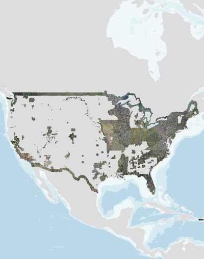
USGS high resolution orthorectified images from The National Map combine the image characteristics of an aerial photograph with the geometric qualities of a map. An orthoimage is a uniform-scale image where corrections have been made for feature displacement such as building tilt and for scale variations caused by terrain relief, sensor geometry, and camera tilt. A mathematical equation based on ground control points, sensor calibration information, and a digital elevation model is applied to each pixel to rectify the image to obtain the geometric qualities of a map. A digital orthoimage may be created from several photographs mosaicked to form the final image. The source imagery may be black-and-white, natural...
Tags: Aerial Photography,
American Samoa,
Canada,
Downloadable Data,
Georeferenced, All tags...
Guam,
High Resolution Orthoimagery,
Imagery,
Mariana Islands,
Marshall Islands,
Mexico,
Micronesia,
National Standards for Spatial Digital Accuracy (NSSDA),
Orthoimagery,
Palau,
Puerto Rico,
Trusts,
U.S.,
U.S.,
US,
US,
United States,
United States,
Virgin Islands,
a-16,
digital spatial data,
image map,
imageryBaseMapsEarthCover,
natural color orthophoto,
ngda,
orthoimage,
orthophoto,
rectified image,
wwhgd, Fewer tags
The National Hydrography Dataset (NHD) is a feature-based database that interconnects and uniquely identifies the stream segments or reaches that make up the nation's surface water drainage system. NHD data was originally developed at 1:100,000-scale and exists at that scale for the whole country. This high-resolution NHD, generally developed at 1:24,000/1:12,000 scale, adds detail to the original 1:100,000-scale NHD. (Data for Alaska, Puerto Rico and the Virgin Islands was developed at high-resolution, not 1:100,000 scale.) Local resolution NHD is being developed where partners and data exist. The NHD contains reach codes for networked features, flow direction, names, and centerline representations for areal water...
Tags: Administrative watershed units,
Administrative watershed units,
Area of Complex Channels,
Area to be submerged,
Basin, All tags...
Basin,
Bay/Inlet,
Boundaries,
Boundary,
Bridge,
Canal/Ditch,
Coastline,
Connector,
Dam/Weir,
Downloadable Data,
Drainage areas for surface water,
Drainageway,
Esri Shapefile nan,
Estuary,
Flow direction network,
Flume,
ForeShore,
Gaging Station,
Gate,
HU10,
HU12,
HU14,
HU16,
HU2,
HU4,
HU6,
HU8,
HUC,
Hazard Zone,
Hydrographic,
Hydrography,
Hydrography,
Hydrography,
Hydrologic Unit Code,
Hydrologic Units,
Ice mass,
Inundation Area,
Levee,
Line,
Lock Chamber,
Marsh,
National Hydrography Dataset (NHD),
National Hydrography Dataset (NHD) Best Resolution,
National Hydrography Dataset (NHD) Best Resolution,
Nonearthen Shore,
Orthoimage,
Playa,
Point,
PointEvent,
Pond,
Rapids,
Rapids,
Reach,
Reach code,
Reef,
Region,
Reservoir,
Rock,
Sea/Ocean,
Shapefile,
Sink/Rise,
Sounding Datum Line,
Special Use Zone,
Special Use Zone Limit,
Spillway,
St. Croix,
St. John,
St. Thomas,
State,
State,
State_United States Virgin Islands,
Stream,
Stream/River,
Sub-basin,
Sub-region,
Subbasin,
Submerged Stream,
Subregion,
Subwatershed,
Surface water systems,
Swamp,
Topographic,
Tunnel,
US,
Underground Conduit,
United States,
VI,
Virgin Islands,
WBD,
WBD,
Wall,
Wash,
Water Intake Outflow,
Waterfall,
Watershed,
Watershed Boundaries,
Watershed Boundary Dataset,
Watershed Boundary Dataset,
Well,
artificial path,
boundaries,
dams,
drainage systems and characteristics,
inlandWaters,
lakes,
ngda,
rivers, Fewer tags

These data were released prior to the October 1, 2016 effective date for the USGS’s policy dictating the review, approval, and release of scientific data as referenced in USGS Survey Manual Chapter 502.8 Fundamental Science Practices: Review and Approval of Scientific Data for Release. The USGS compiles online access to water-resources data collected at approximately 1.5 million sites in all 50 States, the District of Columbia, Puerto Rico, the Virgin Islands, Guam, American Samoa and the Commonwealth of the Northern Mariana Islands.
Categories: pre-SM502.8;
Tags: Alabama,
Alaska,
American Samoa,
Arizona,
Arkansas, All tags...
California,
Colorado,
Commonwealth of the Northern Mariana Islands,
Connecticut,
Delaware,
District of Columbia,
Florida,
Georgia,
Guam,
Hawaii,
Idaho,
Illinois,
Indiana,
Iowa,
Kansas,
Kentucky,
Louisiana,
Maine,
Maryland,
Massachusetts,
Michigan,
Minnesota,
Mississippi,
Missouri,
Montana,
NSDI,
NWIS,
National Water Information System,
Nebraska,
Nevada,
New Hampshire,
New Jersey,
New Mexico,
New York,
North Carolina,
North Dakota,
Northern Mariana Islands,
Ohio,
Oklahoma,
Oregon,
Pennsylvania,
Puerto Rico,
Rhode Island,
South Carolina,
South Dakota,
Tennessee,
Texas,
USGS Science Data Catalog (SDC),
United Staes,
Utah,
Vermont,
Virgin Islands,
Virginia,
Washington,
West Virginia,
Wisconsin,
Wyoming,
active water monitoring locations,
administrative and political boundaries,
agriculture and farming,
annual water statistics,
atmospheric and climate,
biology and ecology,
business and economic,
cadastral,
cultural, society, and demographic,
current water condition,
current water conditions,
daily water data,
daily water statistics,
elevation and derived products,
field measurements,
field samples,
gaging stations,
geological and geophysical,
historical water observations,
human health and diease,
hydrologic unit,
hydrology,
hydrology,
imagery and base maps,
inland waters,
inland waters,
lakes,
locations and geodetic networks,
monthly water statistics,
oceans and estuaries,
peak-flow data,
real-time water data,
streamflow,
streams,
surface water data,
tutorial,
utilities and communication,
water information,
water level,
water levels,
water statistics,
water statistics,
water table,
water temperature, Fewer tags

These data were released prior to the October 1, 2016 effective date for the USGS’s policy dictating the review, approval, and release of scientific data as referenced in USGS Survey Manual Chapter 502.8 Fundamental Science Practices: Review and Approval of Scientific Data for Release. The U.S. Geological Survey's National Water-Use Information Program is responsible for compiling and disseminating the nation's water-use data. The USGS works in cooperation with local, State, and Federal environmental agencies to collect water-use information. USGS compiles these data to produce water-use information aggregated at the county, state, and national levels. Every five years, data at the county level are compiled into...
Categories: pre-SM502.8;
Tags: Alabama,
Alaska,
American Samoa,
Arizona,
Arkansas, All tags...
California,
Colorado,
Connecticut,
Delaware,
District of Columbia,
Florida,
Georgia,
Guam,
Hawaii,
Idaho,
Illinois,
Indiana,
Iowa,
Kansas,
Kentucky,
Louisiana,
Maine,
Maryland,
Massachusetts,
Michigan,
Minnesota,
Mississippi,
Missouri,
Montana,
NSDI,
NWIS,
Nebraska,
Nevada,
New Hampshire,
New Jersey,
New Mexico,
New York,
North Carolina,
North Dakota,
Ohio,
Oklahoma,
Oregon,
Pennsylvania,
Puerto Rico,
Rhode Island,
South Carolina,
South Dakota,
Tennessee,
Texas,
USGS Science Data Catalog (SDC),
United Staes,
Utah,
Vermont,
Virgin Islands,
Virginia,
Washington,
West Virginia,
Wisconsin,
Wyoming,
administrative and political boundaries,
agriculture and farming,
annual water data,
atmospheric and climate,
biology and ecology,
business and economic,
cadastral,
cultural, society, and demographic,
current water conditions,
daily,
drainage basin,
facilities and structures,
field samples,
gaging stations,
geological and geophysical,
hydrologic unit,
hydrology,
hydrology,
inland waters,
inland waters,
lakes,
locations and geodetic networks,
oceans and estuaries,
site information,
streams,
time-series data,
utilities and communication,
water data,
water flow unit,
water information,
water level,
water table,
water temperature,
water use,
water use data,
weekly, Fewer tags

Time series data of wave height and water surface elevation were acquired for 147 days at four locations off of the north coast and four locations off the south coast of Buck Island, U.S. Virgin Islands, in support of a study on the coastal circulation patterns and the transformation of surface waves over the coral reefs. The relative placement of sensors on the reefs were as follows: BUI15S1T and BUI15N1T – fore reef BUI15S2T and BUI15N2T – outer reef flat BUI15S3T and BUI15N3T – middle reef flat BUI15S4T and BUI15N4T – inner reef flat
Types: Map Service,
OGC WFS Layer,
OGC WMS Layer,
OGC WMS Service;
Tags: Buck Island,
CMHRP,
Coastal and Marine Hazards and Resources Program,
Oceans,
PCMSC, All tags...
Pacific Coastal and Marine Science Center,
St. Croix,
U.S. Geological Survey,
USGS,
Virgin Islands,
Water Column Features,
geoscientificInformation,
marine water quality,
physical oceanography,
tides,
time series datasets,
waves, Fewer tags

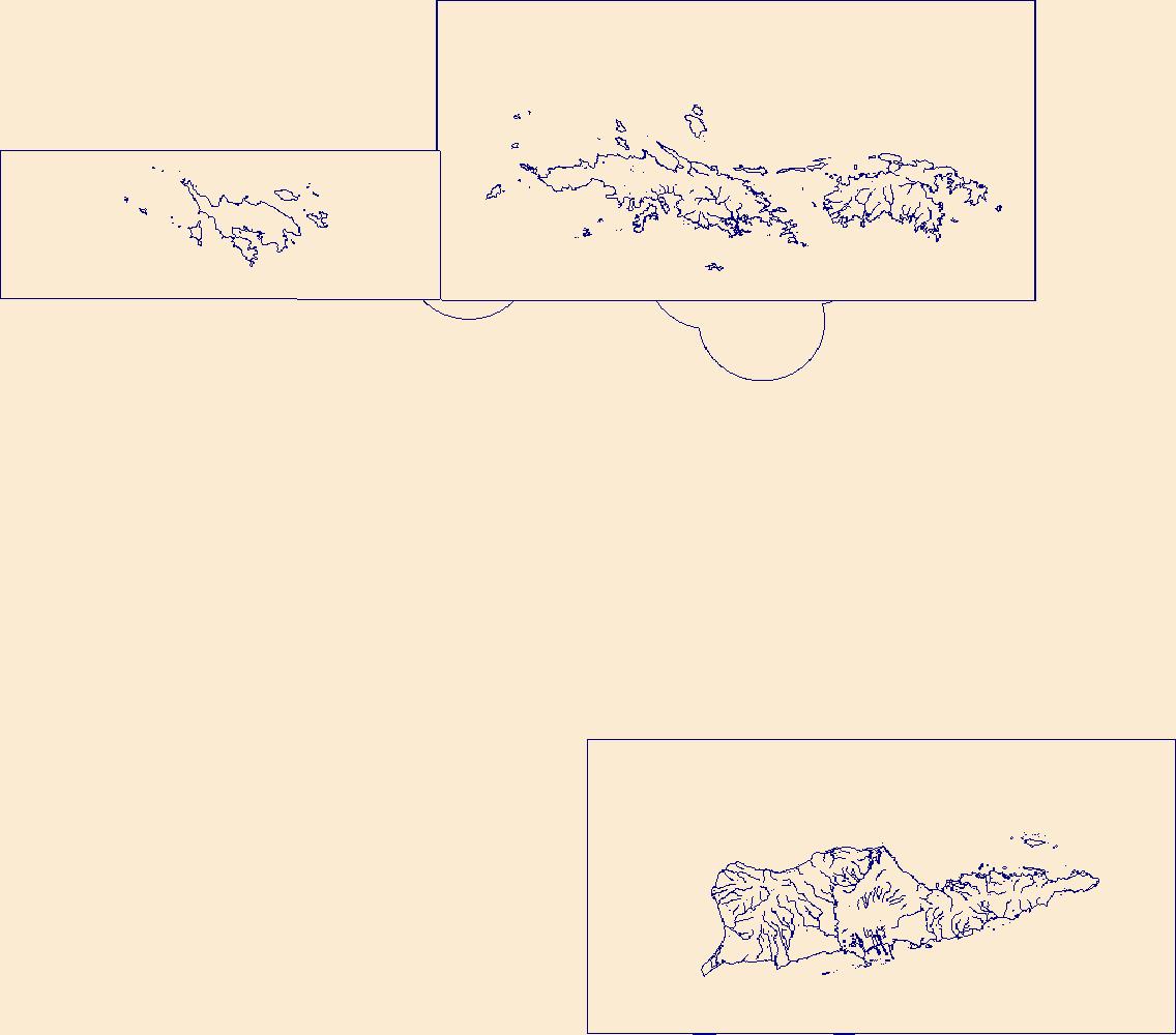
The Geographic Names Information System (GNIS) is the Federal standard for geographic nomenclature. The U.S. Geological Survey developed the GNIS for the U.S. Board on Geographic Names, a Federal inter-agency body chartered by public law to maintain uniform feature name usage throughout the Government and to promulgate standard names to the public. The GNIS is the official repository of domestic geographic names data; the official vehicle for geographic names use by all departments of the Federal Government; and the source for applying geographic names to Federal electronic and printed products of all types.
Tags: AK,
AL,
AR,
AS,
AZ, All tags...
Alabama,
Alaska,
American Samoa,
Antarctica,
Antarctica,
Arizona,
Arkansas,
BGN,
Board on Geographic Names,
Borough,
CA,
CO,
CT,
California,
Census Area,
Colorado,
Commonwealth,
Connecticut,
County,
DC,
DE,
Delaware,
District,
District of Columbia,
Downloadable Data,
FL,
Feature class,
Feature coordinates,
Feature county,
Feature description,
Feature designation,
Feature history,
Feature indentification,
Feature name,
Feature state,
Florida,
GA,
GNIS,
GU,
Geographic Names,
Geographic Names Information System,
Geographic Names Topical Gazetteer Government Units,
Geographic feature,
Geographic name,
Geographical feature,
Geographical name,
Georgia,
Guam,
HI,
Hawaii,
IA,
ID,
IL,
IN,
Idaho,
Illinois,
Indiana,
Iowa,
KS,
KY,
Kansas,
Kentucky,
LA,
Louisiana,
MA,
MD,
ME,
MI,
MN,
MO,
MP,
MS,
MT,
Maine,
Maryland,
Massachusetts,
Michigan,
Minnesota,
Mississippi,
Missouri,
Montana,
Municipio,
NC,
ND,
NE,
NH,
NJ,
NM,
NV,
NY,
National,
National,
National Geographic Names Information System (GNIS),
National Geographic Names Information System (GNIS),
Nebraska,
Nevada,
New Hampshire,
New Jersey,
New Mexico,
New York,
North Carolina,
North Dakota,
Northern Mariana Islands,
OH,
OK,
OR,
Official feature name,
Ohio,
Oklahoma,
Oregon,
Outlying Area,
PA,
PR,
Parish,
Pennsylvania,
Place name,
Populated Place,
Puerto Rico,
RI,
Rhode Island,
SC,
SD,
South Carolina,
South Dakota,
TN,
TX,
TXT (pipes),
Tennessee,
Territories,
Territory,
Texas,
Topographic Map,
U.S. Board on Geographic Names,
U.S. Geological Survey,
US,
USA,
USBGN,
USGS,
UT,
UTF-8 Pipe Delimited Text File nan,
United States,
United States,
United States,
Utah,
VA,
VI,
VT,
Variant name,
Vermont,
Virgin Islands,
Virginia,
WA,
WI,
WV,
WY,
Washington,
West Virginia,
Wisconsin,
Wyoming,
antarctic,
database,
economy,
environment,
feature,
gazetteer,
geographic,
geographic names,
geographical,
geography,
geospatial,
imageryBaseMapsEarthCover,
inlandWaters,
location,
map,
name,
place,
placename,
society,
structure,
topographic map,
toponymy, Fewer tags

The Geographic Names Information System (GNIS) is the Federal standard for geographic nomenclature. The U.S. Geological Survey developed the GNIS for the U.S. Board on Geographic Names, a Federal inter-agency body chartered by public law to maintain uniform feature name usage throughout the Government and to promulgate standard names to the public. The GNIS is the official repository of domestic geographic names data; the official vehicle for geographic names use by all departments of the Federal Government; and the source for applying geographic names to Federal electronic and printed products of all types.
Tags: AK,
AL,
AR,
AS,
AZ, All tags...
Alabama,
Alaska,
American Samoa,
Antarctica,
Antarctica,
Arizona,
Arkansas,
BGN,
Board on Geographic Names,
Borough,
CA,
CO,
CT,
California,
Census Area,
Colorado,
Commonwealth,
Connecticut,
County,
DC,
DE,
Delaware,
District,
District of Columbia,
Downloadable Data,
FL,
Feature class,
Feature coordinates,
Feature county,
Feature description,
Feature designation,
Feature history,
Feature indentification,
Feature name,
Feature state,
Florida,
GA,
GNIS,
GU,
Geographic Names,
Geographic Names Information System,
Geographic Names Topical Gazetteer Historical Features,
Geographic feature,
Geographic name,
Geographical feature,
Geographical name,
Georgia,
Guam,
HI,
Hawaii,
IA,
ID,
IL,
IN,
Idaho,
Illinois,
Indiana,
Iowa,
KS,
KY,
Kansas,
Kentucky,
LA,
Louisiana,
MA,
MD,
ME,
MI,
MN,
MO,
MP,
MS,
MT,
Maine,
Maryland,
Massachusetts,
Michigan,
Minnesota,
Mississippi,
Missouri,
Montana,
Municipio,
NC,
ND,
NE,
NH,
NJ,
NM,
NV,
NY,
National,
National,
National Geographic Names Information System (GNIS),
National Geographic Names Information System (GNIS),
Nebraska,
Nevada,
New Hampshire,
New Jersey,
New Mexico,
New York,
North Carolina,
North Dakota,
Northern Mariana Islands,
OH,
OK,
OR,
Official feature name,
Ohio,
Oklahoma,
Oregon,
Outlying Area,
PA,
PR,
Parish,
Pennsylvania,
Place name,
Populated Place,
Puerto Rico,
RI,
Rhode Island,
SC,
SD,
South Carolina,
South Dakota,
TN,
TX,
TXT (pipes),
Tennessee,
Territories,
Territory,
Texas,
Topographic Map,
U.S. Board on Geographic Names,
U.S. Geological Survey,
US,
USA,
USBGN,
USGS,
UT,
UTF-8 Pipe Delimited Text File nan,
United States,
United States,
United States,
Utah,
VA,
VI,
VT,
Variant name,
Vermont,
Virgin Islands,
Virginia,
WA,
WI,
WV,
WY,
Washington,
West Virginia,
Wisconsin,
Wyoming,
antarctic,
database,
economy,
environment,
feature,
gazetteer,
geographic,
geographic names,
geographical,
geography,
geospatial,
imageryBaseMapsEarthCover,
inlandWaters,
location,
map,
name,
place,
placename,
society,
structure,
topographic map,
toponymy, Fewer tags

The Geographic Names Information System (GNIS) is the Federal standard for geographic nomenclature. The U.S. Geological Survey developed the GNIS for the U.S. Board on Geographic Names, a Federal inter-agency body chartered by public law to maintain uniform feature name usage throughout the Government and to promulgate standard names to the public. The GNIS is the official repository of domestic geographic names data; the official vehicle for geographic names use by all departments of the Federal Government; and the source for applying geographic names to Federal electronic and printed products of all types.
Tags: AK,
AL,
AR,
AS,
AZ, All tags...
Alabama,
Alaska,
American Samoa,
Antarctica,
Antarctica,
Arizona,
Arkansas,
BGN,
Board on Geographic Names,
Borough,
CA,
CO,
CT,
California,
Census Area,
Colorado,
Commonwealth,
Connecticut,
County,
DC,
DE,
Delaware,
District,
District of Columbia,
Downloadable Data,
FL,
Feature class,
Feature coordinates,
Feature county,
Feature description,
Feature designation,
Feature history,
Feature indentification,
Feature name,
Feature state,
Florida,
GA,
GNIS,
GU,
Geographic Names,
Geographic Names Federal Codes,
Geographic Names Information System,
Geographic feature,
Geographic name,
Geographical feature,
Geographical name,
Georgia,
Guam,
HI,
Hawaii,
IA,
ID,
IL,
IN,
Idaho,
Illinois,
Indiana,
Iowa,
KS,
KY,
Kansas,
Kentucky,
LA,
Louisiana,
MA,
MD,
ME,
MI,
MN,
MO,
MP,
MS,
MT,
Maine,
Maryland,
Massachusetts,
Michigan,
Minnesota,
Mississippi,
Missouri,
Montana,
Municipio,
NC,
ND,
NE,
NH,
NJ,
NM,
NV,
NY,
National,
National,
National Geographic Names Information System (GNIS),
National Geographic Names Information System (GNIS),
Nebraska,
Nevada,
New Hampshire,
New Jersey,
New Mexico,
New York,
North Carolina,
North Dakota,
Northern Mariana Islands,
OH,
OK,
OR,
Official feature name,
Ohio,
Oklahoma,
Oregon,
Outlying Area,
PA,
PR,
Parish,
Pennsylvania,
Place name,
Populated Place,
Puerto Rico,
RI,
Rhode Island,
SC,
SD,
South Carolina,
South Dakota,
TN,
TX,
TXT (pipes),
Tennessee,
Territories,
Territory,
Texas,
Topographic Map,
U.S. Board on Geographic Names,
U.S. Geological Survey,
US,
USA,
USBGN,
USGS,
UT,
UTF-8 Pipe Delimited Text File nan,
United States,
United States,
United States,
Utah,
VA,
VI,
VT,
Variant name,
Vermont,
Virgin Islands,
Virginia,
WA,
WI,
WV,
WY,
Washington,
West Virginia,
Wisconsin,
Wyoming,
antarctic,
database,
economy,
environment,
feature,
gazetteer,
geographic,
geographic names,
geographical,
geography,
geospatial,
imageryBaseMapsEarthCover,
inlandWaters,
location,
map,
name,
place,
placename,
society,
structure,
topographic map,
toponymy, Fewer tags

This map layer shows major ports in the United States, Puerto Rico, and the U.S. Virgin Islands. A port is a city, town, or urban area with a harbor where ships load or unload. This is a revised version of the July 2012 map layer.
Categories: Data;
Types: ArcGIS REST Map Service,
ArcGIS Service Definition,
Downloadable,
Map Service;
Tags: Alabama,
Alabama (AL),
Arizona,
Arkansas,
Boat Ramps, All tags...
CCAP,
California,
Colorado,
Connecticut,
Delaware,
District of Columbia,
Florida,
Florida (FL),
Georgia,
Government lands,
Gulf Ecologiocal Management Sites,
Harbors,
Hawaii,
Idaho,
Illinois,
Indiana,
Iowa,
Kansas,
Kentucky,
Landcover,
Louisiana,
Louisiana (LA),
MPAs,
Maine,
Marinas,
Maryland,
Massachusetts,
Michigan,
Minnesota,
Mississippi,
Mississippi (MS),
Missouri,
Montana,
Nebraska,
Nevada,
New Hampshire,
New Jersey,
New Mexico,
New York,
North Carolina,
North Dakota,
Ohio,
Oklahoma,
Oregon,
Pennsylvania,
Percent Canopy,
Ports,
Ports,
Protected Areas,
Puerto Rico,
Recreationa Facilities,
Rhode Island,
Roads,
SLEUTH urban model,
South Carolina,
South Dakota,
Tennessee,
Texas,
Texas (TX),
Transportation,
Transportation,
U.S. Virgin Islands,
US,
USA,
United States,
Utah,
Vermont,
Virgin Islands,
Virginia,
Washington,
West Virginia,
Wisconsin,
Wyoming,
landcover,
urbanization, Fewer tags
The Watershed Boundary Dataset (WBD) is a comprehensive aggregated collection of hydrologic unit data consistent with the national criteria for delineation and resolution. It defines the areal extent of surface water drainage to a point except in coastal or lake front areas where there could be multiple outlets as stated by the "Federal Standards and Procedures for the National Watershed Boundary Dataset (WBD)" "Standard" (https://pubs.usgs.gov/tm/11/a3/). Watershed boundaries are determined solely upon science-based hydrologic principles, not favoring any administrative boundaries or special projects, nor particular program or agency. This dataset represents the hydrologic unit boundaries to the 12-digit (6th level)...
Tags: 10-digit,
12-digit,
14-digit,
16-digit,
2-digit, All tags...
4-digit,
6-digit,
8-digit,
AK,
AL,
AR,
AS,
AZ,
Alabama,
Alaska,
American Samoa,
Arizona,
Arkansas,
Basin,
CA,
CO,
CT,
California,
Colorado,
Connecticut,
DC,
DE,
Delaware,
District of Columbia,
Downloadable Data,
Esri File GeoDatabase 10,
FL,
FileGDB,
Florida,
GA,
GU,
Georgia,
Guam,
HI,
HUC,
Hawaii,
Hydrography,
Hydrologic Unit Code,
Hydrologic Units,
IA,
ID,
IL,
IN,
Idaho,
Illinois,
Indiana,
Iowa,
KS,
KY,
Kansas,
Kentucky,
LA,
Louisiana,
MA,
MD,
ME,
MI,
MN,
MO,
MP,
MS,
MT,
Maine,
Maryland,
Massachusetts,
Michigan,
Minnesota,
Mississippi,
Missouri,
Montana,
NC,
ND,
NE,
NH,
NJ,
NM,
NV,
NY,
National,
National,
National Watershed Boundary Dataset (WBD),
National Watershed Boundary Dataset (WBD),
Nebraska,
Nevada,
New Hampshire,
New Jersey,
New Mexico,
New York,
North Carolina,
North Dakota,
Northern Mariana Islands,
OH,
OK,
OR,
Ohio,
Oklahoma,
Oregon,
PA,
PR,
Pennsylvania,
Puerto Rico,
RI,
Region,
Rhode Island,
SC,
SD,
South Carolina,
South Dakota,
Sub-basin,
Sub-region,
Subwatershed,
TN,
TX,
Tennessee,
Texas,
US,
UT,
United States,
Utah,
VA,
VI,
VT,
Vermont,
Virgin Islands,
Virginia,
WA,
WBD,
WI,
WV,
WY,
Washington,
Watershed,
Watershed Boundary Dataset,
West Virginia,
Wisconsin,
Wyoming,
inlandWaters, Fewer tags

The Geographic Names Information System (GNIS) is the Federal standard for geographic nomenclature. The U.S. Geological Survey developed the GNIS for the U.S. Board on Geographic Names, a Federal inter-agency body chartered by public law to maintain uniform feature name usage throughout the Government and to promulgate standard names to the public. The GNIS is the official repository of domestic geographic names data; the official vehicle for geographic names use by all departments of the Federal Government; and the source for applying geographic names to Federal electronic and printed products of all types.
Tags: Antarctica,
Antarctica,
BGN,
Board on Geographic Names,
Borough, All tags...
Census Area,
Commonwealth,
County,
District,
Downloadable Data,
Esri File GeoDatabase 10,
Feature class,
Feature coordinates,
Feature county,
Feature description,
Feature designation,
Feature history,
Feature indentification,
Feature name,
Feature state,
FileGDB,
GNIS,
Geographic Names,
Geographic Names Full Model,
Geographic Names Information System,
Geographic feature,
Geographic name,
Geographical feature,
Geographical name,
Municipio,
National Geographic Names Information System (GNIS),
National Geographic Names Information System (GNIS),
Official feature name,
Outlying Area,
Parish,
Place name,
Populated Place,
St. Croix,
St. John,
St. Thomas,
State,
Territories,
Territory,
Topographic Map,
U.S. Board on Geographic Names,
U.S. Geological Survey,
US,
USA,
USBGN,
USGS,
United States,
United States,
United States,
VI,
Variant name,
Virgin Islands,
antarctic,
database,
economy,
environment,
feature,
gazetteer,
geographic,
geographic names,
geographical,
geography,
geospatial,
imageryBaseMapsEarthCover,
inlandWaters,
location,
map,
name,
place,
placename,
society,
structure,
topographic map,
toponymy, Fewer tags

Fish collections made at Buck Island Reef National Monument with the ichthyocide rotenone in 2001 at 58 stations followed by 10 days each in April 2011 and January 2012 surveying poorly sampled shoreline habitats with rotenone and clove oil and inland streams with seine.
Categories: Data;
Types: Citation;
Tags: Caribbean,
Fish,
Saint Croix,
St. Croix,
USGS Science Data Catalog (SDC), All tags...
Virgin Islands,
Virgin Islands,
biogeography,
distribution,
freshwater,
introduced species,
rotenone,
visual, Fewer tags
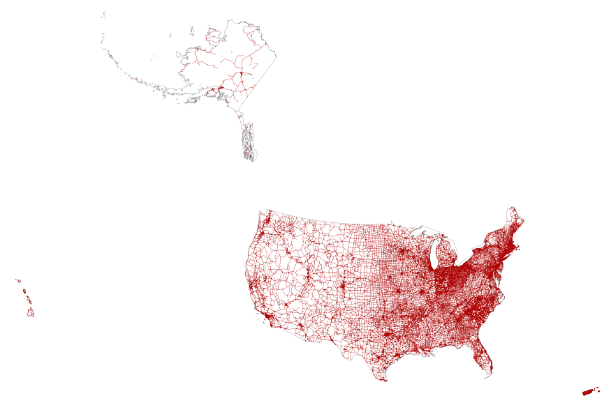
This map layer portrays the major roads in the United States, Puerto Rico, and the U.S. Virgin Islands. The file was produced by joining the individual State roads layers from the National Highway Planning Network (NHPN), Geographic Data Technology (GDT) Dynamap, and TIGER/Line files. This is a revised version of the July 2012 map layer.
Types: Citation;
Tags: Alabama,
Alaska,
Arizona,
Arkansas,
California, All tags...
Colorado,
Connecticut,
Delaware,
District of Columbia,
Downloadable Data,
Downloadable Data,
FileGDB 10.1,
FileGDB 10.1,
Florida,
Georgia,
Hawaii,
Highways,
Idaho,
Illinois,
Indiana,
Interstate highways,
Iowa,
Kansas,
Kentucky,
Louisiana,
Maine,
Maryland,
Massachusetts,
Michigan,
Minnesota,
Mississippi,
Missouri,
Montana,
National,
National,
National Atlas of the United States,
Nebraska,
Nevada,
New Hampshire,
New Jersey,
New Mexico,
New York,
North Carolina,
North Dakota,
Ohio,
Oklahoma,
Oregon,
Pennsylvania,
Puerto Rico,
Rhode Island,
Roads,
Small-scale Datasets,
Small-scale Datasets,
Small-scale Datasets,
Small-scale Datasets - Transportation,
South Carolina,
South Dakota,
State Route,
Tennessee,
Texas,
U.S. Virgin Islands,
US,
US Route,
USA,
United States,
Utah,
Vermont,
Virgin Islands,
Virginia,
Washington,
West Virginia,
Wisconsin,
Wyoming,
transportation, Fewer tags
This map layer portrays the county boundaries of the United States, Puerto Rico, and the U.S. Virgin Islands as linework. The map layer was derived from the 1:1,000,000-Scale County Boundaries of the United States polygon data set by applying the Arc/Info Clean function. The Clean function eliminates the duplicate arcs present in polygon shapefiles, leaving one copy of each line.
Types: Citation;
Tags: Alabama,
Alaska,
Arizona,
Arkansas,
California, All tags...
Colorado,
Connecticut,
Counties,
County boundaries,
Delaware,
District of Columbia,
Downloadable Data,
Downloadable Data,
Florida,
Georgia,
Hawaii,
Idaho,
Illinois,
Indiana,
Iowa,
Kansas,
Kentucky,
Louisiana,
Maine,
Maryland,
Massachusetts,
Michigan,
Minnesota,
Mississippi,
Missouri,
Montana,
National,
National,
National Atlas of the United States,
Nebraska,
Nevada,
New Hampshire,
New Jersey,
New Mexico,
New York,
North Carolina,
North Dakota,
Ohio,
Oklahoma,
Oregon,
Pennsylvania,
Puerto Rico,
Rhode Island,
Shapefile,
Shapefile,
Small-scale Datasets,
Small-scale Datasets,
Small-scale Datasets,
Small-scale Datasets - Boundaries,
South Carolina,
South Dakota,
Tennessee,
Texas,
U.S. Virgin Islands,
US,
USA,
United States,
Utah,
Vermont,
Virgin Islands,
Virginia,
Washington,
West Virginia,
Wisconsin,
Wyoming,
boundaries, Fewer tags
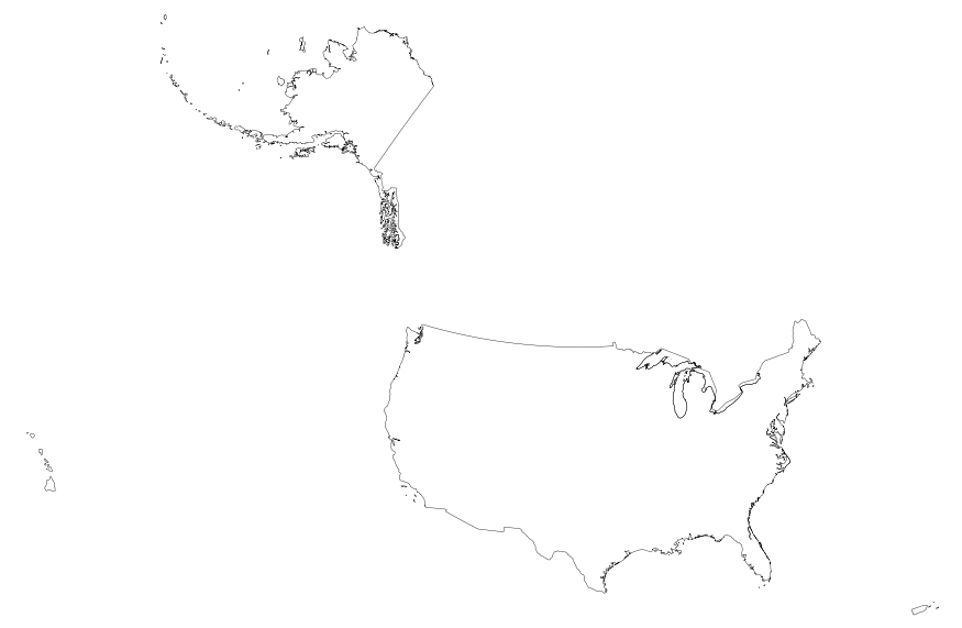
This map layer portrays the boundaries of the United States, Puerto Rico, and the U.S. Virgin Islands. The map layer was created by extracting county polygon features from the 2006 Census TIGER/Line files produced by the U.S. Census Bureau. These files were then merged into a single file and the county and State boundaries were dissolved, leaving the national boundary. This is a revised version of the July 2012 map layer.
Types: Citation;
Tags: Alabama,
Alaska,
Arizona,
Arkansas,
Boundaries, All tags...
California,
Colorado,
Connecticut,
Delaware,
District of Columbia,
Downloadable Data,
Downloadable Data,
Florida,
Georgia,
Hawaii,
Idaho,
Illinois,
Indiana,
Iowa,
Kansas,
Kentucky,
Louisiana,
Maine,
Maryland,
Massachusetts,
Michigan,
Minnesota,
Mississippi,
Missouri,
Montana,
National,
National,
National,
National Atlas of the United States,
National boundaries,
Nebraska,
Nevada,
New Hampshire,
New Jersey,
New Mexico,
New York,
North Carolina,
North Dakota,
Ohio,
Oklahoma,
Oregon,
Pennsylvania,
Puerto Rico,
Rhode Island,
Shapefile,
Shapefile,
Small-scale Datasets,
Small-scale Datasets,
Small-scale Datasets,
Small-scale Datasets - Boundaries,
South Carolina,
South Dakota,
Tennessee,
Texas,
U.S. Virgin Islands,
US,
USA,
United States,
Utah,
Vermont,
Virgin Islands,
Virginia,
Washington,
West Virginia,
Wisconsin,
Wyoming,
boundaries, Fewer tags
|
|

