Filters: Tags: WHITE RIVER (X) > partyWithName: U.S. Geological Survey (X)
18 results (119ms)|
Filters
Date Range
Types Contacts
Categories Tag Types Tag Schemes |
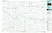
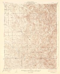
USGS Historical Quadrangle in GeoPDF.
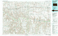
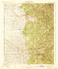
USGS Historical Quadrangle in GeoPDF.
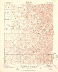
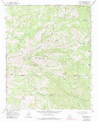
USGS Historical Quadrangle in GeoPDF.
Digital flood-inundation maps for a 7.5-mile reach of the White River at Noblesville, Indiana, were created by the U.S. Geological Survey (USGS) in cooperation with the Indiana Department of Transportation. The flood-inundation maps, which can be accessed through the USGS Flood Inundation Mapping Science website at https://water.usgs.gov/osw/flood_inundation/, depict estimates of the areal extent and depth of flooding corresponding to selected water levels (stages) at the White River at Noblesville, Ind., streamgage (USGS station number 03349000). Real-time stages at this streamgage may be obtained from the USGS National Water Information System at https://waterdata.usgs.gov/nwis or the National Weather Service...
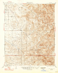
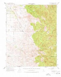
USGS Historical Quadrangle in GeoPDF.
USGS Historical Quadrangle in GeoPDF.
USGS Historical Quadrangle in GeoPDF.
USGS Historical Quadrangle in GeoPDF.
Soil gas methane and combustible gas concentrations collected from oil and gas well pad locations in Utah. Soil gas samples were measured on site and/or collected for later analysis as described in supporting documentation. Multiple sample locations around well head and depths within the soil profile are available for select sites. Supporting documents provide information of sample collection protocol and data quality assurance.
Categories: Data;
Types: Map Service,
OGC WFS Layer,
OGC WMS Layer,
OGC WMS Service;
Tags: Big Flat,
Big Indian North,
Big Indian South,
Big Valley,
Bluebell,
USGS Historical Quadrangle in GeoPDF.
USGS Historical Quadrangle in GeoPDF.

USGS Historical Quadrangle in GeoPDF.
Data are presented in support of USGS Scientific Investigations Report, "Investigation of factors controlling benthic algae in the Upper White River watershed, Colorado, 2018-21". This dataset contains cross section, pebble count, and velocity data for the White River upstream of Meeker, Colorado; collected during 2018, 2019, and 2020.
USGS Historical Quadrangle in GeoPDF.

USGS Historical Quadrangle in GeoPDF.
USGS Historical Quadrangle in GeoPDF.
Digital flood-inundation maps for a 7.5-mile reach of the White River at Noblesville, Indiana, were created by the U.S. Geological Survey (USGS) in cooperation with the Indiana Department of Transportation. The flood-inundation maps, which can be accessed through the USGS Flood Inundation Mapping Science website at https://water.usgs.gov/osw/flood_inundation/, depict estimates of the areal extent and depth of flooding corresponding to selected water levels (stages) at the White River at Noblesville, Ind., streamgage (USGS station number 03349000). Real-time stages at this streamgage may be obtained from the USGS National Water Information System at https://waterdata.usgs.gov/nwis or the National Weather Service...
Categories: Data;
Types: Citation;
Tags: City of Noblesville,
Indiana,
Noblesville,
United States,
White River,
USGS Historical Quadrangle in GeoPDF.
|

|
