Filters: Tags: Wailuku (X)
7 results (60ms)|
Filters
Date Range
Extensions Types
Contacts
Categories Tag Types Tag Schemes |
This digital publication contains all the geologic map information used to publish U.S. Geological Survey Geologic Investigations Map Series SIM-3143 (Sherrod and others, 2021). This geologic map shows the distribution and stratigraphic relation of volcanic, intrusive, and sedimentary units emplaced in the past 8 million years across the eight principal islands of the Hawaiian archipelago, State of Hawaii, U.S.A. This geologic map database is accompanied by a report, which includes the formatted geologic map and explanatory pamphlet, available at https://doi.org/10.3133/sim3143. The authors ask that users of the geologic map database cite both the report and the database: Report: Sherrod, D.R., Sinton, J.M.,...
Categories: Data;
Types: ArcGIS Map Package,
ArcGIS REST Map Service,
ArcGIS Service Definition,
Downloadable,
Map Service;
Tags: Hana,
Hawaii,
Honolulu,
Kahoolawe,
Kauai County,
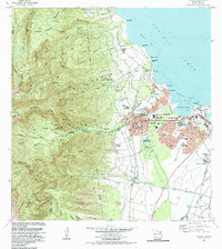
USGS Historical Quadrangle in GeoPDF.
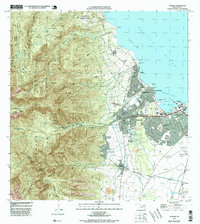
USGS Historical Quadrangle in GeoPDF.
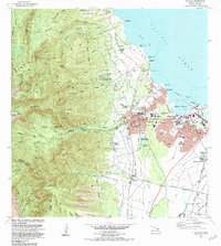
USGS Historical Quadrangle in GeoPDF.

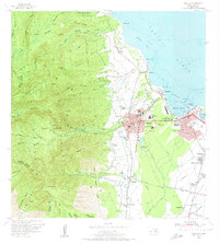
USGS Historical Quadrangle in GeoPDF.
USGS Historical Quadrangle in GeoPDF.
USGS Historical Quadrangle in GeoPDF.
|

|
