Filters: Tags: Weed (X)
19 results (76ms)|
Filters
Date Range
Extensions Types
Contacts
Categories Tag Types Tag Schemes |
This data set contains imagery from the National Agriculture Imagery Program (NAIP). The NAIP program is administered by USDA FSA and has been established to support two main FSA strategic goals centered on agricultural production. These are, increase stewardship of America's natural resources while enhancing the environment, and to ensure commodities are procured and distributed effectively and efficiently to increase food security. The NAIP program supports these goals by acquiring and providing ortho imagery that has been collected during the agricultural growing season in the U.S. The NAIP ortho imagery is tailored to meet FSA requirements and is a fundamental tool used to support FSA farm and conservation programs....
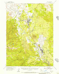
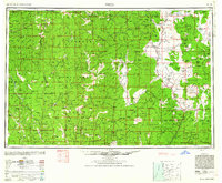
USGS Historical Quadrangle in GeoPDF.
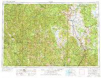
USGS Historical Quadrangle in GeoPDF.

USGS Historical Quadrangle in GeoPDF.
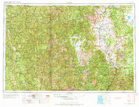
USGS Historical Quadrangle in GeoPDF.
Weed presence in Idaho, consolidated from datasets provided by BLM Boise District, BLM Twin Falls District, BLM Idaho Falls District, BLM Coeur d'Alene District, and the Idaho Department of Agriculture, from December 2005. Many errors noted. Users must review attributes before using. No corrections to any errors or inconsistencies have been made. See supplementary information. Approved by data steward 10/15/2008 Truncation of attributes may have occurred when File Geodatabase exported to a shapfile. Draft standards such as genus/species exist in the database design, but were not used. Some fields such as National ownership, local ownership, and source are inconsistently or incorrectly used. The draft standards...
Categories: Data;
Types: Downloadable,
Map Service,
OGC WFS Layer,
OGC WMS Layer,
Shapefile;
Tags: Biota,
Idaho,
Invasive,
Noxious,
Weed,
This data set contains imagery from the National Agriculture Imagery Program (NAIP). The NAIP program is administered by USDA FSA and has been established to support two main FSA strategic goals centered on agricultural production. These are, increase stewardship of America's natural resources while enhancing the environment, and to ensure commodities are procured and distributed effectively and efficiently to increase food security. The NAIP program supports these goals by acquiring and providing ortho imagery that has been collected during the agricultural growing season in the U.S. The NAIP ortho imagery is tailored to meet FSA requirements and is a fundamental tool used to support FSA farm and conservation programs....
USGS Historical Quadrangle in GeoPDF.
USGS Historical Quadrangle in GeoPDF.
USGS Historical Quadrangle in GeoPDF.
The “evolution of increased competitive ability� (EICA) hypothesis predicts that exotic species will adapt to reduced herbivore pressure by losing costly defenses in favor of competitive ability. Previous studies often support the prediction that plants from exotic populations will be less well defended than plants from native populations. However, results are mixed with respect to the question of whether plants from exotic populations have become more competitive. In a common-garden experiment involving plants from two native and two exotic populations of 14 different invasive species, we tested whether exotic plants generally grow larger than conspecific native plants, and whether patterns of relative growth...
Categories: Publication;
Types: Citation,
Journal Citation;
Tags: Ecological Society of America,
Ecology,
competition,
defense,
evolution of increased competitive ability (EICA),
USGS Historical Quadrangle in GeoPDF.

USGS Historical Quadrangle in GeoPDF.

All Tongass National Forest invasive plant occurences (polygons) spatial and attribute data.
This data set contains imagery from the National Agriculture Imagery Program (NAIP). The NAIP program is administered by USDA FSA and has been established to support two main FSA strategic goals centered on agricultural production. These are, increase stewardship of America's natural resources while enhancing the environment, and to ensure commodities are procured and distributed effectively and efficiently to increase food security. The NAIP program supports these goals by acquiring and providing ortho imagery that has been collected during the agricultural growing season in the U.S. The NAIP ortho imagery is tailored to meet FSA requirements and is a fundamental tool used to support FSA farm and conservation programs....
USGS Historical Quadrangle in GeoPDF.

USGS Historical Quadrangle in GeoPDF.
This data set contains imagery from the National Agriculture Imagery Program (NAIP). The NAIP program is administered by USDA FSA and has been established to support two main FSA strategic goals centered on agricultural production. These are, increase stewardship of America's natural resources while enhancing the environment, and to ensure commodities are procured and distributed effectively and efficiently to increase food security. The NAIP program supports these goals by acquiring and providing ortho imagery that has been collected during the agricultural growing season in the U.S. The NAIP ortho imagery is tailored to meet FSA requirements and is a fundamental tool used to support FSA farm and conservation programs....

USGS Historical Quadrangle in GeoPDF.
|

|
