Filters: Tags: Wetumpka (X)
13 results (104ms)|
Filters
Date Range
Types Contacts
Tag Types Tag Schemes |

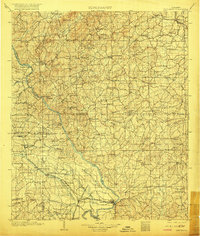
USGS Historical Quadrangle in GeoPDF.
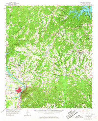
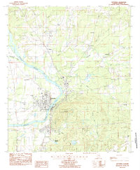
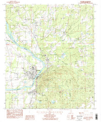
This data set contains imagery from the National Agriculture Imagery Program (NAIP). The NAIP program is administered by USDA FSA and has been established to support two main FSA strategic goals centered on agricultural production. These are, increase stewardship of America's natural resources while enhancing the environment, and to ensure commodities are procured and distributed effectively and efficiently to increase food security. The NAIP program supports these goals by acquiring and providing ortho imagery that has been collected during the agricultural growing season in the U.S. The NAIP ortho imagery is tailored to meet FSA requirements and is a fundamental tool used to support FSA farm and conservation programs....
This data set contains imagery from the National Agriculture Imagery Program (NAIP). The NAIP program is administered by USDA FSA and has been established to support two main FSA strategic goals centered on agricultural production. These are, increase stewardship of America's natural resources while enhancing the environment, and to ensure commodities are procured and distributed effectively and efficiently to increase food security. The NAIP program supports these goals by acquiring and providing ortho imagery that has been collected during the agricultural growing season in the U.S. The NAIP ortho imagery is tailored to meet FSA requirements and is a fundamental tool used to support FSA farm and conservation programs....
These datasets contain XYZ locations and other attributes of points from topographic bank surveys at six sites downstream from three dams on the Coosa River in Alabama, from October 2014 through July 2017. At the four sites downstream from H. Neely Henry and Walter Bouldin Dams, topographic data were collected using a motion-compensated LiDAR (MC-LiDAR) system mounted on a marine survey vessel equipped with an inertial navigation system (INS). Data were collected as the vessel traversed the river along a survey line near the site. Data collection software integrated and stored the range and angular measurements from the LiDAR, and the horizontal and vertical position and attitude data of the vessel from the INS...
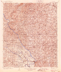
USGS Historical Quadrangle in GeoPDF.
This data set contains imagery from the National Agriculture Imagery Program (NAIP). The NAIP program is administered by USDA FSA and has been established to support two main FSA strategic goals centered on agricultural production. These are, increase stewardship of America's natural resources while enhancing the environment, and to ensure commodities are procured and distributed effectively and efficiently to increase food security. The NAIP program supports these goals by acquiring and providing ortho imagery that has been collected during the agricultural growing season in the U.S. The NAIP ortho imagery is tailored to meet FSA requirements and is a fundamental tool used to support FSA farm and conservation programs....
USGS Historical Quadrangle in GeoPDF.
These datasets contain XYZ locations and other attributes of points from topographic bank surveys of sites WB101 and WB106 downstream from Walter Bouldin Dam near Wetumpka, Alabama, from November 20, 2014, through July 20, 2017. Topographic data were collected using a motion-compensated LiDAR (MC-LiDAR) system mounted on a marine survey vessel equipped with an inertial navigation system (INS). Data were collected as the vessel traversed the river along a survey line near sites WB101 and WB106. Data collection software integrated and stored the range and angular measurements from the LiDAR, and the horizontal and vertical position and attitude data of the vessel from the INS in real time. Data processing required...
USGS Historical Quadrangle in GeoPDF.
USGS Historical Quadrangle in GeoPDF.

USGS Historical Quadrangle in GeoPDF.
USGS Historical Quadrangle in GeoPDF.
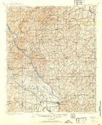
USGS Historical Quadrangle in GeoPDF.
|

|
