Filters: Tags: Whitefish (X)
9 results (40ms)|
Filters
Date Range
Types Contacts
Categories Tag Types Tag Schemes |
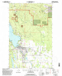
USGS Historical Quadrangle in GeoPDF.
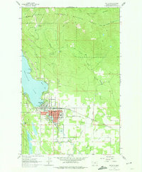
USGS Historical Quadrangle in GeoPDF.

Species occurrence data were obtained from the Atlas of Spawning and Nursery Areas of Great Lakes Fishes (Goodyear et al. 1982). The atlas contains information on all of the commercially and recreationally important species that use the tributaries, littoral and open-water areas of the Great Lakes as spawning and nursery habitats. Close to 9500 geo-referenced data records (occurrences of fish species) were imported into ArcView GIS. The 139 fish taxa reported in the Atlas had to be grouped into fewer broad categories to produce meaningful distribution maps. We chose three functional classification schemes. Jude and Pappas (1992) used Correspondence Analysis to partition fish species associated with the open...
This dataset consists of select contaminants of emerging concern (CEC) including pesticides and transformation products, pharmaceuticals and transformation products, and wastewater indicator compound results measured in 131 surface water, 129 bottom sediment, 7 field replicate, and 6 field blank samples collected from 131 sites located on 27 tributaries of the Great Lakes during the summer of 2019. Samples were analyzed at the U.S. Geological Survey National Water Quality Laboratory (NWQL). Surface water samples were collected and analyzed for 238 pesticides, pesticide transformation products, and surrogate compounds (NWQL laboratory schedule 2437; Sandstrom and others, 2015), 152 pharmaceuticals, pharmaceutical...
Categories: Data;
Types: Map Service,
OGC WFS Layer,
OGC WMS Layer,
OGC WMS Service;
Tags: Au Gres River,
Buffalo River,
Cattaraugus River,
Chippewa River,
East Twin River,
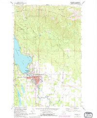
USGS Historical Quadrangle in GeoPDF.

Species occurrence data were obtained from the Atlas of Spawning and Nursery Areas of Great Lakes Fishes (Goodyear et al. 1982). The atlas contains information on all of the commercially and recreationally important species that use the tributaries, littoral and open-water areas of the Great Lakes as spawning and nursery habitats. Close to 9500 geo-referenced data records (occurrences of fish species) were imported into ArcView GIS. The 139 fish taxa reported in the Atlas had to be grouped into fewer broad categories to produce meaningful distribution maps. We chose three functional classification schemes. Jude and Pappas (1992) used Correspondence Analysis to partition fish species associated with the open...
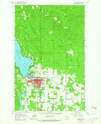
USGS Historical Quadrangle in GeoPDF.
USGS Historical Quadrangle in GeoPDF.

Point locations for collections of Michigan fish in the Lake Michigan basin.
|

|
