Filters: Tags: Whittier (X)
40 results (39ms)|
Filters
Date Range
Extensions Types Contacts
Categories Tag Types Tag Schemes |
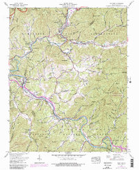
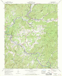
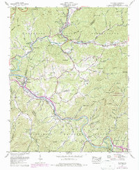
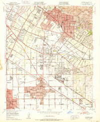
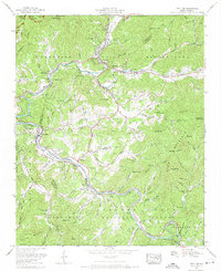
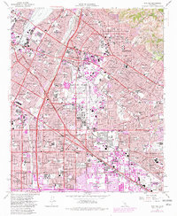
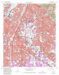
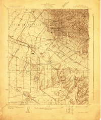
USGS Historical Quadrangle in GeoPDF.
USGS Historical Quadrangle in GeoPDF.
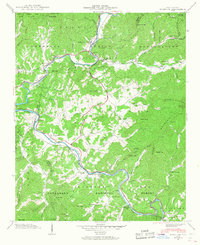
USGS Historical Quadrangle in GeoPDF.
USGS Historical Quadrangle in GeoPDF.
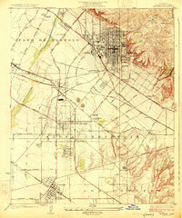
USGS Historical Quadrangle in GeoPDF.
This data set contains imagery from the National Agriculture Imagery Program (NAIP). The NAIP program is administered by USDA FSA and has been established to support two main FSA strategic goals centered on agricultural production. These are, increase stewardship of America's natural resources while enhancing the environment, and to ensure commodities are procured and distributed effectively and efficiently to increase food security. The NAIP program supports these goals by acquiring and providing ortho imagery that has been collected during the agricultural growing season in the U.S. The NAIP ortho imagery is tailored to meet FSA requirements and is a fundamental tool used to support FSA farm and conservation programs....
USGS Historical Quadrangle in GeoPDF.
USGS Historical Quadrangle in GeoPDF.
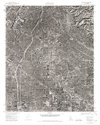
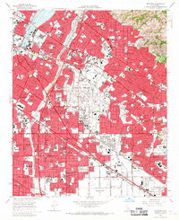
The Los Angeles Coastal Plain (LACP) covers about 580 square miles and is the largest coastal plain of semiarid southern California. The LACP is heavily developed with mostly residential, commercial, and industrial land uses that rely heavily on groundwater for water supply. In 2010, the LACP was home to about 14 percent of California’s population and is also a major commercial and industrial hub. There has been a heavy reliance on groundwater from the LACP for many years. Managed aquifer recharge from the spreading grounds and barrier wells is now a substantial component of the LACP’s groundwater supply. The U.S. Geological Survey (USGS) conducted a study in cooperation with the Water Replenishment District of...

The U.S. Geological Survey (USGS), in cooperation with the Water Replenishment District of Southern California, developed a regional groundwater model of the Los Angeles Coastal Plain (LACP) incorporating new data, analyses, and modeling tools to better understand the hydrogeology of the groundwater basins. The LACP covers about 580 square miles and is the largest coastal plain of semiarid southern California. This aquifer is heavily developed with mostly residential, commercial, and industrial use and relies heavily on groundwater for its water supply. There has been a heavy reliance on groundwater from the LACP for many years. The need to replenish the groundwater basins within the LACP was recognized as far back...
This data release contains extent shapefiles for 16 hypothetical slope failure scenarios for a landslide complex at Barry Arm, western Prince William Sound, Alaska. The landslide is likely active due to debuttressing from the retreat of Barry Glacier (Dai and others, 2020) and sits above Barry Arm, posing a tsunami risk in the event of slope failure (Barnhart and others, 2021). Since discovery of the landslide by a citizen scientist in 2020, kinematic structural elements have been mapped (Coe and others, 2020) and ground-based and satellite synthetic aperture radar (SAR) have been used to track ongoing movement at a high spatial resolution (Schaefer and others, 2020; Schaefer and others, 2022). These efforts have...
Categories: Data;
Types: Downloadable,
Map Service,
OGC WFS Layer,
OGC WMS Layer,
Shapefile;
Tags: Alaska,
D-Claw,
Geomorphology,
Marine Geology,
Prince William Sound,
This data set contains imagery from the National Agriculture Imagery Program (NAIP). The NAIP program is administered by USDA FSA and has been established to support two main FSA strategic goals centered on agricultural production. These are increase stewardship of America's natural resources while enhancing the environment, and to ensure commodities are procured and distributed effectively and efficiently to increase food security. The NAIP program supports these goals by acquiring and providing ortho imagery that has been collected during the agricultural growing season in the U.S. The NAIP ortho imagery is tailored to meet FSA requirements and is a fundamental tool used to support FSA farm and conservation programs....
In support of geologic mapping and hazards evaluation in and near Whittier, Alaska, the Division of Geological & Geophysical Surveys (DGGS) acquired, and is making publicly available, lidar (light detection and ranging) data for an area along Passage Canal, Portage Lake, and Portage Glacier Highway. The lidar data, acquired and processed by Watershed Sciences, Inc. (WSI) consist of continuous coverage encompassing an area extending from Portage Lake eastward to Logging Company Bay in Passage Canal in the Seward D-4, D-5, and D-6 1:63,360-scale quadrangles. Lidar data collected below 1,600 ft (488 m) elevation have a minimum average pulse density of 8 pulses/square meter; above 1,600 ft (488 m) data were collected...
This publication contains previously unpublished geochemical analyses or re-analyses of lavas, magmatic inclusions, and a few gabbroic cumulate inclusions from Alaska volcanoes (Akutan, Augustine, Buzzard Creek, Dana, Douglas, Fourpeaked, Frosty, Great Sitkin, Iliamna, Kaguyak, Kiska, Okmok, Prindle Cone, Recheshnoi, Redoubt, Spurr, Ukinrek Maars, Vsevidof, Westdahl, Wrangell) collected by the authors and others over the past 35 years. It provides substantial data sets for three volcanoes (Vsevidof, Westdahl, and Douglas) for which little or no published data exist. All analyses were made by the GeoAnalytical laboratory at Washington State University in Pullman, WA. The ICP/MS data have been reduced using the 2006...
USGS Historical Quadrangle in GeoPDF.
These data include pumping, injection, and water spreading input data for the MODFLOW-6 extension and update to Los Angeles Coastal Plain Groundwater Model (LACPGM-MF6) for the years 2016-2020. The LACPGM-MF6 required model inputs to represent groundwater injection, groundwater extraction, and water spreading. Extended datasets include four barrier project injection rates, two groundwater production extraction rates, and one water spreading infiltration rates. The data were made available by the two local water agencies, Water Resources Division of Los Angeles and the Orange County Water District. Spreading data were formatted for the MODFLOW-6 well package and both injection and extraction data were formatted for...
Categories: Data;
Tags: 2016-2019 model extension,
Barrier Project,
Bell Gardens,
California,
Cerritos,
USGS Historical Quadrangle in GeoPDF.
USGS Historical Quadrangle in GeoPDF.
USGS Historical Quadrangle in GeoPDF.
USGS Historical Quadrangle in GeoPDF.
|

|
