Filters: Tags: Will County (X)
155 results (37ms)|
Filters
|
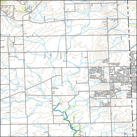
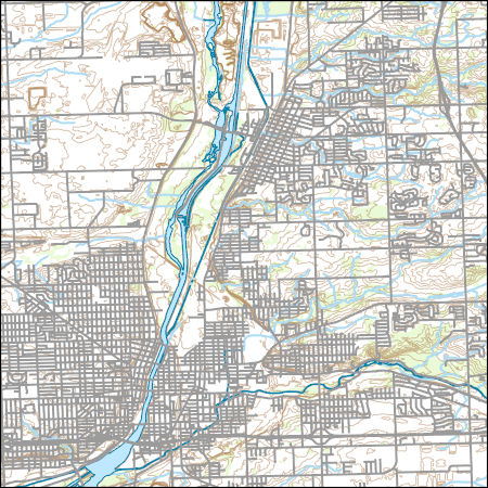
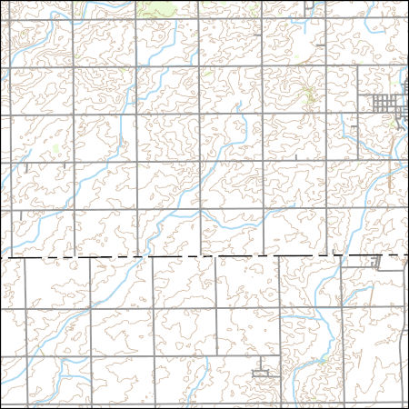
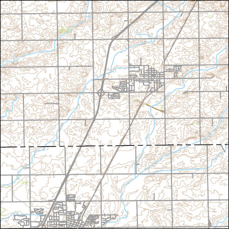
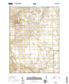
Layers of geospatial data include contours, boundaries, land cover, hydrography, roads, transportation, geographic names, structures, and other selected map features.
Types: Citation;
Tags: 7.5 x 7.5 minute,
7.5 x 7.5 minute,
Combined Vector,
Combined Vector,
Combined Vector,
Layers of geospatial data include contours, boundaries, land cover, hydrography, roads, transportation, geographic names, structures, and other selected map features.
Types: Citation;
Tags: 7.5 x 7.5 minute,
7.5 x 7.5 minute,
Combined Vector,
Combined Vector,
Combined Vector,
Layers of geospatial data include contours, boundaries, land cover, hydrography, roads, transportation, geographic names, structures, and other selected map features.
Types: Citation;
Tags: 7.5 x 7.5 minute,
7.5 x 7.5 minute,
Combined Vector,
Combined Vector,
Combined Vector,
In 2016, the U.S. Fish and Wildlife Service, U.S. Geological Survey, and U.S. Army Corps of Engineers undertook a large-scale interagency field study to determine the influence of commercial barge vessels on the efficacy of the Electric Dispersal Barrier System (EDBS) in the Chicago Sanitary and Ship Canal (CSSC) in preventing fish passage. This study included a series of trials in which a tow, consisting of a tug vessel and six fully-loaded barges, transited the EDBS in both upstream-bound (n = 23) and downstream-bound (n = 22) directions. A 3,000 kHz SonTek Argonaut SW Acoustic Doppler Velocity Meter (ADVM) was mounted on the barge at the position of the rake-to-box junction. The ADVM faced outward from the side...

USGS Topo Map Vector Data (Vector) 22743 Joliet, Illinois 20210628 for 7.5 x 7.5 minute FileGDB 10.1
Layers of geospatial data include contours, boundaries, land cover, hydrography, roads, transportation, geographic names, structures, and other selected map features.
Types: Citation;
Tags: 7.5 x 7.5 minute,
7.5 x 7.5 minute,
Combined Vector,
Combined Vector,
Combined Vector,
In 2016, the U.S. Fish and Wildlife Service, U.S. Geological Survey, and U.S. Army Corps of Engineers undertook a large-scale interagency field study to determine the influence of commercial barge vessels on the efficacy of the Electric Dispersal Barrier System (EDBS) in the Chicago Sanitary and Ship Canal (CSSC) in preventing fish passage. This study included a series of trials in which a tow, consisting of a tug vessel and six fully-loaded barges, transited the EDBS in both upstream-bound (n = 23) and downstream-bound (n = 22) directions. A 1,200 kHz Teledyne RDI Channel Master Acoustic Doppler Velocity Meter (ADVM) was mounted on the barge at the position of the rake-to-box junction. The ADVM faced outward from...
Layers of geospatial data include contours, boundaries, land cover, hydrography, roads, transportation, geographic names, structures, and other selected map features.
Types: Citation;
Tags: 7.5 x 7.5 minute,
7.5 x 7.5 minute,
Combined Vector,
Combined Vector,
Combined Vector,
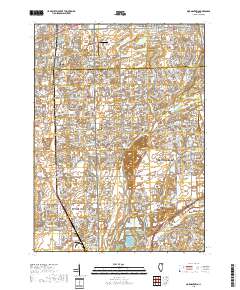
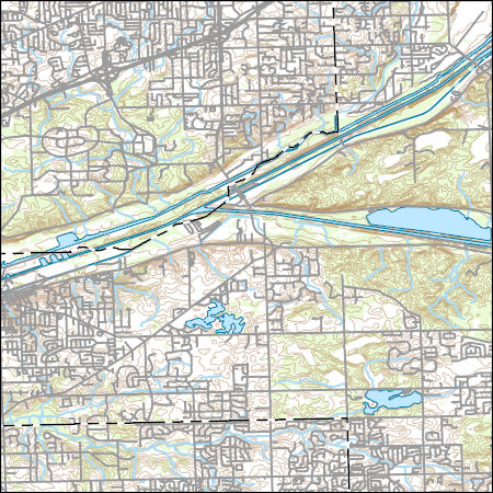
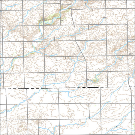
Layered geospatial PDF 7.5 Minute Quadrangle Map. Layers of geospatial data include orthoimagery, roads, grids, geographic names, elevation contours, hydrography, and other selected map features. This map is derived from GIS (geospatial information system) data. It represents a repackaging of GIS data in traditional map form, not creation of new information. The geospatial data in this map are from selected National Map data holdings and other government sources.
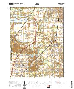
Layered geospatial PDF 7.5 Minute Quadrangle Map. Layers of geospatial data include orthoimagery, roads, grids, geographic names, elevation contours, hydrography, and other selected map features. This map is derived from GIS (geospatial information system) data. It represents a repackaging of GIS data in traditional map form, not creation of new information. The geospatial data in this map are from selected National Map data holdings and other government sources.
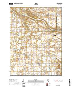
Layered geospatial PDF 7.5 Minute Quadrangle Map. Layers of geospatial data include orthoimagery, roads, grids, geographic names, elevation contours, hydrography, and other selected map features. This map is derived from GIS (geospatial information system) data. It represents a repackaging of GIS data in traditional map form, not creation of new information. The geospatial data in this map are from selected National Map data holdings and other government sources.

Layered geospatial PDF 7.5 Minute Quadrangle Map. Layers of geospatial data include orthoimagery, roads, grids, geographic names, elevation contours, hydrography, and other selected map features. This map is derived from GIS (geospatial information system) data. It represents a repackaging of GIS data in traditional map form, not creation of new information. The geospatial data in this map are from selected National Map data holdings and other government sources.
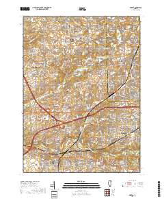
Layered geospatial PDF 7.5 Minute Quadrangle Map. Layers of geospatial data include orthoimagery, roads, grids, geographic names, elevation contours, hydrography, and other selected map features. This map is derived from GIS (geospatial information system) data. It represents a repackaging of GIS data in traditional map form, not creation of new information. The geospatial data in this map are from selected National Map data holdings and other government sources.
Layered geospatial PDF 7.5 Minute Quadrangle Map. Layers of geospatial data include orthoimagery, roads, grids, geographic names, elevation contours, hydrography, and other selected map features. This map is derived from GIS (geospatial information system) data. It represents a repackaging of GIS data in traditional map form, not creation of new information. The geospatial data in this map are from selected National Map data holdings and other government sources.
These data were collected using a 1200 kHz TRDI Rio Grande acoustic Doppler current profiler (ADCP) in mode 12 with 25 centimeter bins from a moving boat. The data were georeferenced with a Trimble AG132 differential Global Positioning System (GPS) receiver with submeter accuracy. The data were processed in the Velocity Mapping Toolbox (Parsons and others, 2013) to obtain a mean velocity field for each cross section from individual transects at each cross section. These data were collected in support of the US Army Corps of Engineers Great Lakes and Mississippi River Interbasin Study (GLMRIS), and were concurrent with a dye-tracing study. NOTE: Any data assigned a value of "-9999" are invalid or missing data and...
Types: Citation;
Tags: Brandon Road Lock and Dam,
Des Plaines River,
Illinois,
Velocity,
Will County
These data were collected using a 1200 kHz TRDI Rio Grande acoustic Doppler current profiler (ADCP) in mode 12 with 25 centimeter bins from a moving boat. The data were georeferenced with a Hemisphere Crescent A100 differential Global Positioning System (GPS) receiver with submeter accuracy. The data have been depth-averaged over the entire measured portion of the water column and temporally averaged over 5-second intervals to reduce noise. These data were collected by the U.S. Geological Survey (USGS) concurrently with environmental DNA (eDNA) sampling in this reach of the Chicago Sanitary and Ship Canal (CSSC) by the U.S. Fish and Wildlife Service (USFWS). Data were processed using the Velocity Mapping Toolbox...
Categories: Data;
Types: Citation,
Map Service,
OGC WFS Layer,
OGC WMS Layer,
OGC WMS Service;
Tags: Chicago Sanitary and Ship Canal,
Cook County,
DuPage County,
Illinois,
Velocity,
Bathymetric survey data of the Brandon Road Dam spillway was collected on May 27 and May 28, 2015 by the US Geological Survey (USGS) using Trimble Real-Time Kinematic Global Positioning System (RTK-GPS) equipment. The base station was set up over a temporarily installed survey pin on both days. This pin was surveyed into an existing NGS benchmark (PID: BBCN12) within the Brandon Road Lock property. In wadeable sections, a GPS rover with 2.0 meter range pole and flat-foot was deployed. In sections unable to be waded, a 2.0 meter range pole was fix-mounted to a jon boat, and a boat-mounted Acoustic Doppler Current Profiler (ADCP) was used to collect the depth data. ADCP depth data were reviewed in the WinRiver II...
Water velocities and discharge were measured in the lock chamber and immediately downstream of Brandon Road Lock on the Des Plaines River at river mile 286 on December 9-10, 2014 using Teledyne RDI Rio Grande 600 and 1200 kHz acoustic Doppler current profilers (ADCP). The data were georeferenced with a differential GPS receiver with submeter accuracy. These ADCP measurements were collected in support of the US Army Corps of Engineers Great Lakes and Mississippi River Interbasin Study (GLMRIS). Velocity measurements were processed using the Velocity Mapping Toolbox (Parsons and others, 2013) to derive temporally- and spatially-averaged water velocity values. Discharge measurements were processed with the QRev discharge...
Categories: Data;
Types: Citation;
Tags: Brandon Road Lock and Dam,
Des Plaines River,
Illinois,
Joliet,
Rockdale,
Remote sensing technologies, such as high-resolution sonar, can be used to collect more detailed information about the benthic and water column characteristics of macro habitats in the Illinois River. Multibeam echosounders (MBES) collect multibeam and sidescan simultaneously, providing high-resolution images of the riverbed. Sidescan images, in raster format, show the recorded intensity of acoustic signal returns from the riverbed. The acoustic data were collected from the main and side channels (where accessible) of the Dresden reach June 4 – 28, 2018.
Categories: Data;
Types: Downloadable,
GeoTIFF,
Map Service,
Raster;
Tags: Grundy County,
Illinois,
Physical Habitats and Geomorphology,
Will County,
benthic ecosystems,
Layers of geospatial data include contours, boundaries, land cover, hydrography, roads, transportation, geographic names, structures, and other selected map features.
Types: Citation;
Tags: 7.5 x 7.5 minute,
7.5 x 7.5 minute,
Combined Vector,
Combined Vector,
Combined Vector,
Layers of geospatial data include contours, boundaries, land cover, hydrography, roads, transportation, geographic names, structures, and other selected map features.
Types: Citation;
Tags: 7.5 x 7.5 minute,
7.5 x 7.5 minute,
Combined Vector,
Combined Vector,
Combined Vector,
|

|
