Filters: Tags: alpine (X) > partyWithName: U.S. Geological Survey (X)
141 results (37ms)|
Filters
Date Range
Types Contacts
Categories Tag Types Tag Schemes |
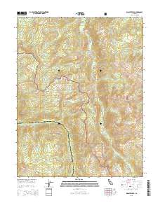
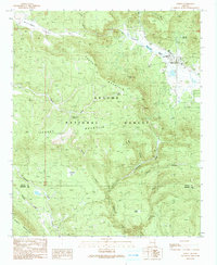
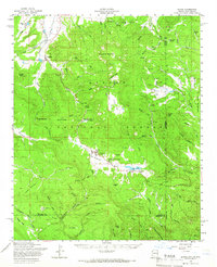
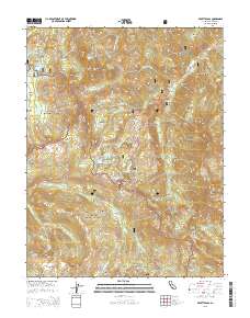
Layered GeoPDF 7.5 Minute Quadrangle Map. Layers of geospatial data include orthoimagery, roads, grids, geographic names, elevation contours, hydrography, and other selected map features.
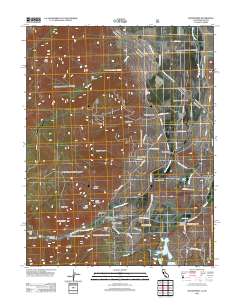
Layered GeoPDF 7.5 Minute Quadrangle Map. Layers of geospatial data include orthoimagery, roads, grids, geographic names, elevation contours, hydrography, and other selected map features.
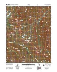
Layered GeoPDF 7.5 Minute Quadrangle Map. Layers of geospatial data include orthoimagery, roads, grids, geographic names, elevation contours, hydrography, and other selected map features.
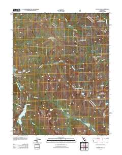
Layered GeoPDF 7.5 Minute Quadrangle Map. Layers of geospatial data include orthoimagery, roads, grids, geographic names, elevation contours, hydrography, and other selected map features.
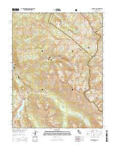
Layered GeoPDF 7.5 Minute Quadrangle Map. Layers of geospatial data include orthoimagery, roads, grids, geographic names, elevation contours, hydrography, and other selected map features.
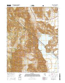
Layered GeoPDF 7.5 Minute Quadrangle Map. Layers of geospatial data include orthoimagery, roads, grids, geographic names, elevation contours, hydrography, and other selected map features.
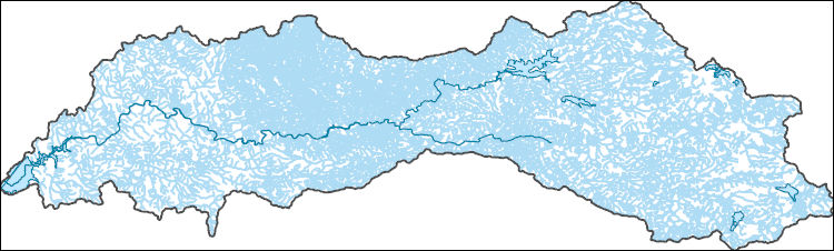
The National Hydrography Dataset (NHD) is a feature-based database that interconnects and uniquely identifies the stream segments or reaches that make up the nation's surface water drainage system. NHD data was originally developed at 1:100,000-scale and exists at that scale for the whole country. This high-resolution NHD, generally developed at 1:24,000/1:12,000 scale, adds detail to the original 1:100,000-scale NHD. (Data for Alaska, Puerto Rico and the Virgin Islands was developed at high-resolution, not 1:100,000 scale.) Local resolution NHD is being developed where partners and data exist. The NHD contains reach codes for networked features, flow direction, names, and centerline representations for areal water...

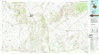
Layers of geospatial data include roads, airports, trails, and railroads.

An existing three-dimensional groundwater flow model of northern Utah County (https://doi.org/10.3133/sir20095049), was updated for use with the Groundwater Management Process(GWM) for MODFLOW-2005, to evaluate the optimal managed aquifer recharge scenarios with the objective of maintaining acceptable reductions in simulated discharge at 12 groundwater discharge areas along Utah Lake. Groundwater is a primary source of drinking water in northern Utah County. By 2066, the amount of groundwater withdrawn is estimated to be roughly 65 percent of annual average recharge. To prepare for anticipated future increases in groundwater withdrawals, local cities have identified 16 locations as feasible for managed aquifer recharge....
The focus of this dataset is soil temperature collected on four mountain summits in Glacier National Park, Montana, USA from 2003 through 2018. Two summit sites were established in 2003 on Dancing Lady and Bison Mountain, east of the continental divide. Two additional summit sites were established in 2004 on Pitamakin and Mt. Seward, also east of the continental divide. These four summit sites comprise a target region set up in accordance with the Global Observation Research Initiative in Alpine Environments (GLORIA). GLORIA was initiated by the University of Vienna in 2000 and protocols for operating target regions have been refined and revised since then. Sixty-nine GLORIA target regions now exist throughout the...
This dataset is focused on alpine plant species presence/absence, species turnover, and trends in species abundance on four mountain summits in Glacier National Park, Montana, USA from 2003 through 2014. Two summit sites were established in 2003 on Dancing Lady and Bison Mountain, east of the continental divide. Two additional summit sites were established in 2004 on Pitamakin and Mt. Seward, also east of the continental divide. This multi-summit approach to monitoring alpine plant species follows the protocols of the Global Observation Research Initiative in Alpine Environments (GLORIA) that were initiated by the University of Vienna in 2000 and which have been refined and revised since then. GLORIA summit sites...
Categories: Data;
Tags: CCME-alpine veg,
GLORIA,
Glacier National Park,
Montana,
USGS Science Data Catalog (SDC),
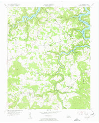
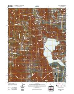
USGS Historical Quadrangle in GeoPDF.
USGS Historical Quadrangle in GeoPDF.
USGS Historical Quadrangle in GeoPDF.
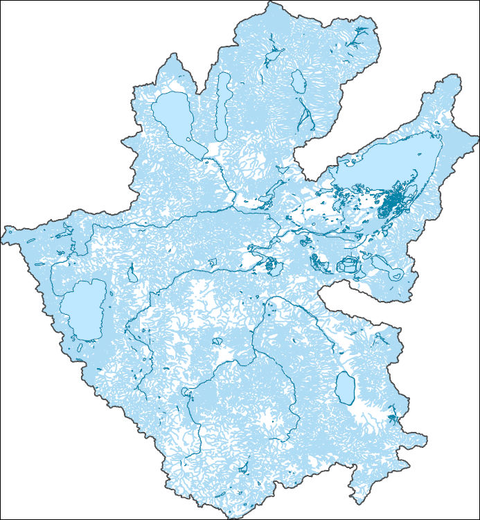
The National Hydrography Dataset (NHD) is a feature-based database that interconnects and uniquely identifies the stream segments or reaches that make up the nation's surface water drainage system. NHD data was originally developed at 1:100,000-scale and exists at that scale for the whole country. This high-resolution NHD, generally developed at 1:24,000/1:12,000 scale, adds detail to the original 1:100,000-scale NHD. (Data for Alaska, Puerto Rico and the Virgin Islands was developed at high-resolution, not 1:100,000 scale.) Local resolution NHD is being developed where partners and data exist. The NHD contains reach codes for networked features, flow direction, names, and centerline representations for areal water...
Layered GeoPDF 7.5 Minute Quadrangle Map. Layers of geospatial data include orthoimagery, roads, grids, geographic names, elevation contours, hydrography, and other selected map features.
Layered GeoPDF 7.5 Minute Quadrangle Map. Layers of geospatial data include orthoimagery, roads, grids, geographic names, elevation contours, hydrography, and other selected map features.
This dataset is focused on alpine plant species presence/absence, species turnover, and trends in species abundance on four mountain summits in Glacier National Park, Montana, USA from 2003 through 2014. Two summit sites were established in 2003 on Dancing Lady and Bison Mountain, east of the continental divide. Two additional summit sites were established in 2004 on Pitamakin and Mt. Seward, also east of the continental divide. This multi-summit approach to monitoring alpine plant species follows the protocols of the Global Observation Research Initiative in Alpine Environments (GLORIA) that were initiated by the University of Vienna in 2000 and which have been refined and revised since then. GLORIA summit sites...
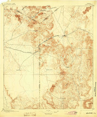
USGS Historical Quadrangle in GeoPDF.
USGS Historical Quadrangle in GeoPDF.
|

|
