Filters: Tags: cartography (X) > Types: Citation (X)
11,528 results (32ms)|
Filters
Date Range
Extensions Types
Contacts
Categories Tag Types Tag Schemes
|

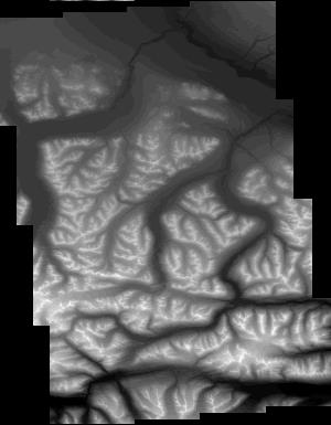
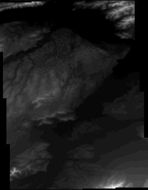
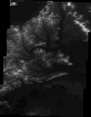
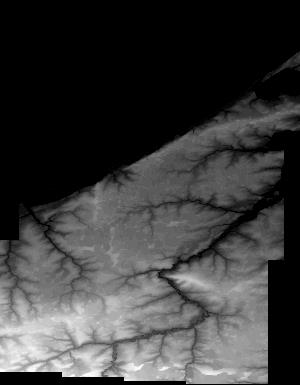
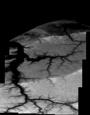
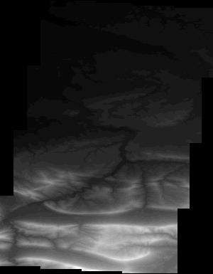
These data are orthorectified radar intensity images (ORI) derived from interferometric synthetic aperture radar (ifsar) data. An ORI is a high-resolution image derived from ifsar which has geometric distortions removed. Unlike optical imagery, ifsar can be collected in cloudy conditions. The USGS performs minimal quality assurance and no reprocessing of the ORI data. USGS distributes the ORI data as received from the contractors, partners or contributing entities.
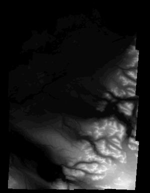
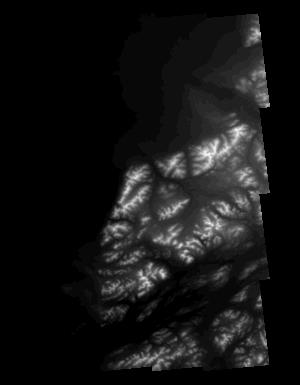
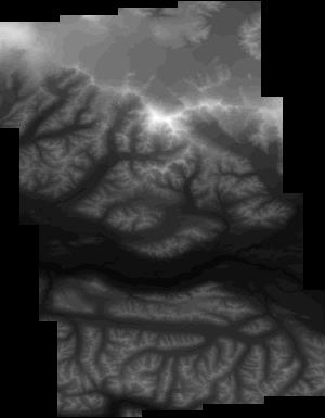
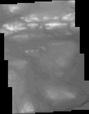
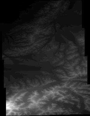
These data are Digital Surface Models (DSM) derived from interferometric synthetic aperture radar (ifsar) data. A DSM is a 3 dimensional representation of surface elevations in an area, including elevations of man-made structures and vegetation. The USGS performs minimal quality assurance and no reprocessing of the DSM data. USGS distributes the DSM data as received from the contractors, partners or contributing entities.
Types: Citation;
Tags: Cartography,
DSM,
Digital Mapping,
Digital Surface Model,
Digital Terrain Model,

These data are orthorectified radar intensity images (ORI) derived from interferometric synthetic aperture radar (ifsar) data. An ORI is a high-resolution image derived from ifsar which has geometric distortions removed. Unlike optical imagery, ifsar can be collected in cloudy conditions. The USGS performs minimal quality assurance and no reprocessing of the ORI data. USGS distributes the ORI data as received from the contractors, partners or contributing entities.

These data are orthorectified radar intensity images (ORI) derived from interferometric synthetic aperture radar (ifsar) data. An ORI is a high-resolution image derived from ifsar which has geometric distortions removed. Unlike optical imagery, ifsar can be collected in cloudy conditions. The USGS performs minimal quality assurance and no reprocessing of the ORI data. USGS distributes the ORI data as received from the contractors, partners or contributing entities.
These data are Digital Surface Models (DSM) derived from interferometric synthetic aperture radar (ifsar) data. A DSM is a 3 dimensional representation of surface elevations in an area, including elevations of man-made structures and vegetation. The USGS performs minimal quality assurance and no reprocessing of the DSM data. USGS distributes the DSM data as received from the contractors, partners or contributing entities.
Types: Citation;
Tags: Cartography,
DSM,
Digital Mapping,
Digital Surface Model,
Digital Terrain Model,

These data are orthorectified radar intensity images (ORI) derived from interferometric synthetic aperture radar (ifsar) data. An ORI is a high-resolution image derived from ifsar which has geometric distortions removed. Unlike optical imagery, ifsar can be collected in cloudy conditions. The USGS performs minimal quality assurance and no reprocessing of the ORI data. USGS distributes the ORI data as received from the contractors, partners or contributing entities.

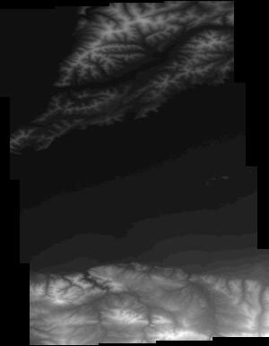
This is the Original Product Resolution (OPR) Digital Elevation Model (DEM) as provided to the USGS. This DEM is delivered in the original resolution, with the original spatial reference. All elevation units have been converted to meters. These data may be used as the source of updates to the National Elevation Dataset (NED), which serves as the elevation layer of the National Map. These data can be used by scientists and resource managers for global change research, hydrologic modeling, resource monitoring, mapping and visualization, and many other applications.

This is the Original Product Resolution (OPR) Digital Elevation Model (DEM) as provided to the USGS. This DEM is delivered in the original resolution, with the original spatial reference. All elevation units have been converted to meters. These data may be used as the source of updates to the National Elevation Dataset (NED), which serves as the elevation layer of the National Map. These data can be used by scientists and resource managers for global change research, hydrologic modeling, resource monitoring, mapping and visualization, and many other applications.

These data are Digital Surface Models (DSM) derived from interferometric synthetic aperture radar (ifsar) data. A DSM is a 3 dimensional representation of surface elevations in an area, including elevations of man-made structures and vegetation. The USGS performs minimal quality assurance and no reprocessing of the DSM data. USGS distributes the DSM data as received from the contractors, partners or contributing entities.
Types: Citation;
Tags: Cartography,
DSM,
Digital Mapping,
Digital Surface Model,
Digital Terrain Model,
|

|
