Filters
Date Range
Extensions
Types
Contacts
Categories
Tag Types
Tag Schemes
|
The Geographic Names Information System (GNIS) is the Federal standard for geographic nomenclature. The U.S. Geological Survey developed the GNIS for the U.S. Board on Geographic Names, a Federal inter-agency body chartered by public law to maintain uniform feature name usage throughout the Government and to promulgate standard names to the public. The GNIS is the official repository of domestic geographic names data; the official vehicle for geographic names use by all departments of the Federal Government; and the source for applying geographic names to Federal electronic and printed products of all types.
Tags: Antarctica,
Antarctica,
Aurora,
BGN,
Beadle, All tags...
Bennett,
Board on Geographic Names,
Bon Homme,
Borough,
Brookings,
Brown,
Brule,
Buffalo,
Butte,
Campbell,
Census Area,
Charles Mix,
Clark,
Clay,
Codington,
Commonwealth,
Corson,
County,
Custer,
Davison,
Day,
Deuel,
Dewey,
District,
Douglas,
Downloadable Data,
Edmunds,
Fall River,
Faulk,
Feature class,
Feature coordinates,
Feature county,
Feature description,
Feature designation,
Feature history,
Feature indentification,
Feature name,
Feature state,
GNIS,
Geographic Names,
Geographic Names Domestic Names,
Geographic Names Information System,
Geographic feature,
Geographic name,
Geographical feature,
Geographical name,
Grant,
Gregory,
Haakon,
Hamlin,
Hand,
Hanson,
Harding,
Hughes,
Hutchinson,
Hyde,
Jackson,
Jerauld,
Jones,
Kingsbury,
Lake,
Lawrence,
Lincoln,
Lyman,
Marshall,
McCook,
McPherson,
Meade,
Mellette,
Miner,
Minnehaha,
Moody,
Municipio,
National Geographic Names Information System (GNIS),
National Geographic Names Information System (GNIS),
Official feature name,
Oglala Lakota,
Outlying Area,
Parish,
Pennington,
Perkins,
Place name,
Populated Place,
Potter,
Roberts,
SD,
Sanborn,
South Dakota,
Spink,
Stanley,
State,
Sully,
TXT (pipes),
Territories,
Territory,
Todd,
Topographic Map,
Tripp,
Turner,
U.S. Board on Geographic Names,
U.S. Geological Survey,
US,
USA,
USBGN,
USGS,
UTF-8 Pipe Delimited Text File nan,
Union,
United States,
United States,
United States,
Variant name,
Walworth,
Yankton,
Ziebach,
antarctic,
database,
economy,
environment,
feature,
gazetteer,
geographic,
geographic names,
geographical,
geography,
geospatial,
imageryBaseMapsEarthCover,
inlandWaters,
location,
map,
name,
place,
placename,
society,
structure,
topographic map,
toponymy, Fewer tags
The Geographic Names Information System (GNIS) is the Federal standard for geographic nomenclature. The U.S. Geological Survey developed the GNIS for the U.S. Board on Geographic Names, a Federal inter-agency body chartered by public law to maintain uniform feature name usage throughout the Government and to promulgate standard names to the public. The GNIS is the official repository of domestic geographic names data; the official vehicle for geographic names use by all departments of the Federal Government; and the source for applying geographic names to Federal electronic and printed products of all types.
Tags: Alcona,
Alger,
Allegan,
Alpena,
Antarctica, All tags...
Antarctica,
Antrim,
Arenac,
BGN,
Baraga,
Barry,
Bay,
Benzie,
Berrien,
Board on Geographic Names,
Borough,
Branch,
Calhoun,
Cass,
Census Area,
Charlevoix,
Cheboygan,
Chippewa,
Clare,
Clinton,
Commonwealth,
County,
Crawford,
Delta,
Dickinson,
District,
Downloadable Data,
Eaton,
Emmet,
Feature class,
Feature coordinates,
Feature county,
Feature description,
Feature designation,
Feature history,
Feature indentification,
Feature name,
Feature state,
GNIS,
Genesee,
Geographic Names,
Geographic Names Domestic Names,
Geographic Names Information System,
Geographic feature,
Geographic name,
Geographical feature,
Geographical name,
Gladwin,
Gogebic,
Grand Traverse,
Gratiot,
Hillsdale,
Houghton,
Huron,
Ingham,
Ionia,
Iosco,
Iron,
Isabella,
Jackson,
Kalamazoo,
Kalkaska,
Kent,
Keweenaw,
Lake,
Lapeer,
Leelanau,
Lenawee,
Livingston,
Luce,
MI,
Mackinac,
Macomb,
Manistee,
Marquette,
Mason,
Mecosta,
Menominee,
Michigan,
Midland,
Missaukee,
Monroe,
Montcalm,
Montmorency,
Municipio,
Muskegon,
National Geographic Names Information System (GNIS),
National Geographic Names Information System (GNIS),
Newaygo,
Oakland,
Oceana,
Official feature name,
Ogemaw,
Ontonagon,
Osceola,
Oscoda,
Otsego,
Ottawa,
Outlying Area,
Parish,
Place name,
Populated Place,
Presque Isle,
Roscommon,
Saginaw,
Sanilac,
Schoolcraft,
Shiawassee,
St. Clair,
St. Joseph,
State,
TXT (pipes),
Territories,
Territory,
Topographic Map,
Tuscola,
U.S. Board on Geographic Names,
U.S. Geological Survey,
US,
USA,
USBGN,
USGS,
UTF-8 Pipe Delimited Text File nan,
United States,
United States,
United States,
Van Buren,
Variant name,
Washtenaw,
Wayne,
Wexford,
antarctic,
database,
economy,
environment,
feature,
gazetteer,
geographic,
geographic names,
geographical,
geography,
geospatial,
imageryBaseMapsEarthCover,
inlandWaters,
location,
map,
name,
place,
placename,
society,
structure,
topographic map,
toponymy, Fewer tags
The Geographic Names Information System (GNIS) is the Federal standard for geographic nomenclature. The U.S. Geological Survey developed the GNIS for the U.S. Board on Geographic Names, a Federal inter-agency body chartered by public law to maintain uniform feature name usage throughout the Government and to promulgate standard names to the public. The GNIS is the official repository of domestic geographic names data; the official vehicle for geographic names use by all departments of the Federal Government; and the source for applying geographic names to Federal electronic and printed products of all types.
Tags: Adams,
Allen,
Antarctica,
Antarctica,
BGN, All tags...
Bartholomew,
Benton,
Blackford,
Board on Geographic Names,
Boone,
Borough,
Brown,
Carroll,
Cass,
Census Area,
Clark,
Clay,
Clinton,
Commonwealth,
County,
Crawford,
Daviess,
DeKalb,
Dearborn,
Decatur,
Delaware,
District,
Downloadable Data,
Dubois,
Elkhart,
Fayette,
Feature class,
Feature coordinates,
Feature county,
Feature description,
Feature designation,
Feature history,
Feature indentification,
Feature name,
Feature state,
Floyd,
Fountain,
Franklin,
Fulton,
GNIS,
GeoPackage,
Geographic Names,
Geographic Names Full Model,
Geographic Names Information System,
Geographic feature,
Geographic name,
Geographical feature,
Geographical name,
Gibson,
Grant,
Greene,
Hamilton,
Hancock,
Harrison,
Hendricks,
Henry,
Howard,
Huntington,
IN,
Indiana,
Jackson,
Jasper,
Jay,
Jefferson,
Jennings,
Johnson,
Knox,
Kosciusko,
LaGrange,
LaPorte,
Lake,
Lawrence,
Madison,
Marion,
Marshall,
Martin,
Miami,
Monroe,
Montgomery,
Morgan,
Municipio,
National Geographic Names Information System (GNIS),
National Geographic Names Information System (GNIS),
Newton,
Noble,
Official feature name,
Ohio,
Open Geospatial Consortium GeoPackage 1.2,
Orange,
Outlying Area,
Owen,
Parish,
Parke,
Perry,
Pike,
Place name,
Populated Place,
Porter,
Posey,
Pulaski,
Putnam,
Randolph,
Ripley,
Rush,
Scott,
Shelby,
Spencer,
St. Joseph,
Starke,
State,
Steuben,
Sullivan,
Switzerland,
Territories,
Territory,
Tippecanoe,
Tipton,
Topographic Map,
U.S. Board on Geographic Names,
U.S. Geological Survey,
US,
USA,
USBGN,
USGS,
Union,
United States,
United States,
United States,
Vanderburgh,
Variant name,
Vermillion,
Vigo,
Wabash,
Warren,
Warrick,
Washington,
Wayne,
Wells,
White,
Whitley,
antarctic,
database,
economy,
environment,
feature,
gazetteer,
geographic,
geographic names,
geographical,
geography,
geospatial,
imageryBaseMapsEarthCover,
inlandWaters,
location,
map,
name,
place,
placename,
society,
structure,
topographic map,
toponymy, Fewer tags
The Geographic Names Information System (GNIS) is the Federal standard for geographic nomenclature. The U.S. Geological Survey developed the GNIS for the U.S. Board on Geographic Names, a Federal inter-agency body chartered by public law to maintain uniform feature name usage throughout the Government and to promulgate standard names to the public. The GNIS is the official repository of domestic geographic names data; the official vehicle for geographic names use by all departments of the Federal Government; and the source for applying geographic names to Federal electronic and printed products of all types.
Tags: Adams,
Allen,
Antarctica,
Antarctica,
Ashland, All tags...
Ashtabula,
Athens,
Auglaize,
BGN,
Belmont,
Board on Geographic Names,
Borough,
Brown,
Butler,
Carroll,
Census Area,
Champaign,
Clark,
Clermont,
Clinton,
Columbiana,
Commonwealth,
Coshocton,
County,
Crawford,
Cuyahoga,
Darke,
Defiance,
Delaware,
District,
Downloadable Data,
Erie,
Esri File GeoDatabase 10,
Fairfield,
Fayette,
Feature class,
Feature coordinates,
Feature county,
Feature description,
Feature designation,
Feature history,
Feature indentification,
Feature name,
Feature state,
FileGDB,
Franklin,
Fulton,
GNIS,
Gallia,
Geauga,
Geographic Names,
Geographic Names Full Model,
Geographic Names Information System,
Geographic feature,
Geographic name,
Geographical feature,
Geographical name,
Greene,
Guernsey,
Hamilton,
Hancock,
Hardin,
Harrison,
Henry,
Highland,
Hocking,
Holmes,
Huron,
Jackson,
Jefferson,
Knox,
Lake,
Lawrence,
Licking,
Logan,
Lorain,
Lucas,
Madison,
Mahoning,
Marion,
Medina,
Meigs,
Mercer,
Miami,
Monroe,
Montgomery,
Morgan,
Morrow,
Municipio,
Muskingum,
National Geographic Names Information System (GNIS),
National Geographic Names Information System (GNIS),
Noble,
OH,
Official feature name,
Ohio,
Ottawa,
Outlying Area,
Parish,
Paulding,
Perry,
Pickaway,
Pike,
Place name,
Populated Place,
Portage,
Preble,
Putnam,
Richland,
Ross,
Sandusky,
Scioto,
Seneca,
Shelby,
Stark,
State,
Summit,
Territories,
Territory,
Topographic Map,
Trumbull,
Tuscarawas,
U.S. Board on Geographic Names,
U.S. Geological Survey,
US,
USA,
USBGN,
USGS,
Union,
United States,
United States,
United States,
Van Wert,
Variant name,
Vinton,
Warren,
Washington,
Wayne,
Williams,
Wood,
Wyandot,
antarctic,
database,
economy,
environment,
feature,
gazetteer,
geographic,
geographic names,
geographical,
geography,
geospatial,
imageryBaseMapsEarthCover,
inlandWaters,
location,
map,
name,
place,
placename,
society,
structure,
topographic map,
toponymy, Fewer tags
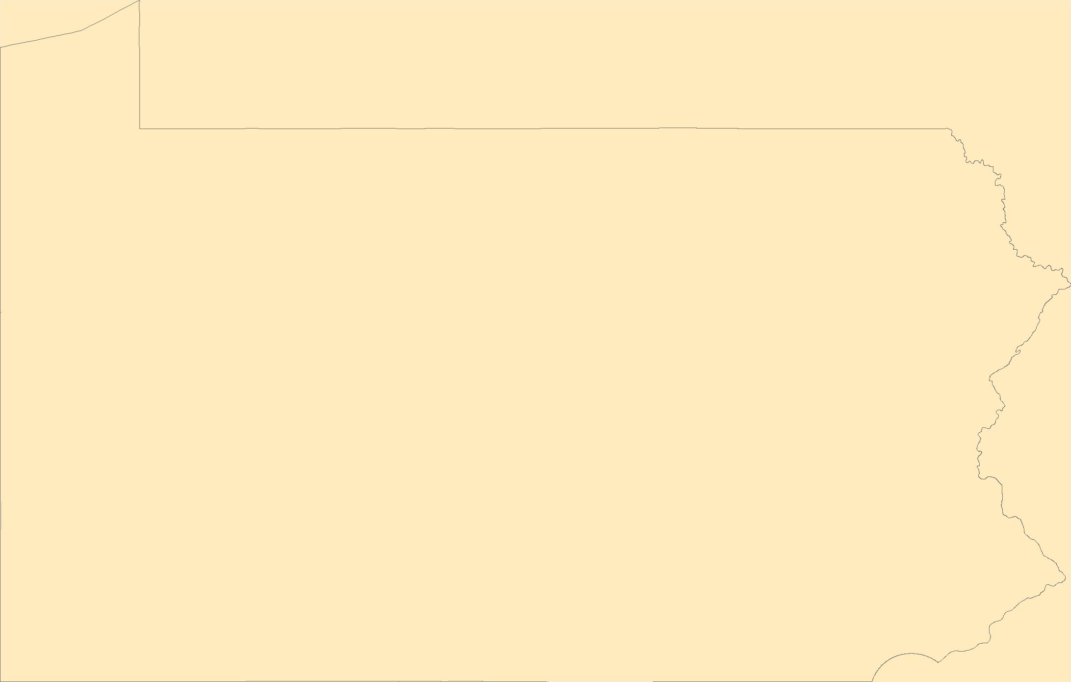
The Geographic Names Information System (GNIS) is the Federal standard for geographic nomenclature. The U.S. Geological Survey developed the GNIS for the U.S. Board on Geographic Names, a Federal inter-agency body chartered by public law to maintain uniform feature name usage throughout the Government and to promulgate standard names to the public. The GNIS is the official repository of domestic geographic names data; the official vehicle for geographic names use by all departments of the Federal Government; and the source for applying geographic names to Federal electronic and printed products of all types.
Tags: Adams,
Allegheny,
Antarctica,
Antarctica,
Armstrong, All tags...
BGN,
Beaver,
Bedford,
Berks,
Blair,
Board on Geographic Names,
Borough,
Bradford,
Bucks,
Butler,
Cambria,
Cameron,
Carbon,
Census Area,
Centre,
Chester,
Clarion,
Clearfield,
Clinton,
Columbia,
Commonwealth,
County,
Crawford,
Cumberland,
Dauphin,
Delaware,
District,
Downloadable Data,
Elk,
Erie,
Esri File GeoDatabase 10,
Fayette,
Feature class,
Feature coordinates,
Feature county,
Feature description,
Feature designation,
Feature history,
Feature indentification,
Feature name,
Feature state,
FileGDB,
Forest,
Franklin,
Fulton,
GNIS,
Geographic Names,
Geographic Names Full Model,
Geographic Names Information System,
Geographic feature,
Geographic name,
Geographical feature,
Geographical name,
Greene,
Huntingdon,
Indiana,
Jefferson,
Juniata,
Lackawanna,
Lancaster,
Lawrence,
Lebanon,
Lehigh,
Luzerne,
Lycoming,
McKean,
Mercer,
Mifflin,
Monroe,
Montgomery,
Montour,
Municipio,
National Geographic Names Information System (GNIS),
National Geographic Names Information System (GNIS),
Northampton,
Northumberland,
Official feature name,
Outlying Area,
PA,
Parish,
Pennsylvania,
Perry,
Philadelphia,
Pike,
Place name,
Populated Place,
Potter,
Schuylkill,
Snyder,
Somerset,
State,
Sullivan,
Susquehanna,
Territories,
Territory,
Tioga,
Topographic Map,
U.S. Board on Geographic Names,
U.S. Geological Survey,
US,
USA,
USBGN,
USGS,
Union,
United States,
United States,
United States,
Variant name,
Venango,
Warren,
Washington,
Wayne,
Westmoreland,
Wyoming,
York,
antarctic,
database,
economy,
environment,
feature,
gazetteer,
geographic,
geographic names,
geographical,
geography,
geospatial,
imageryBaseMapsEarthCover,
inlandWaters,
location,
map,
name,
place,
placename,
society,
structure,
topographic map,
toponymy, Fewer tags
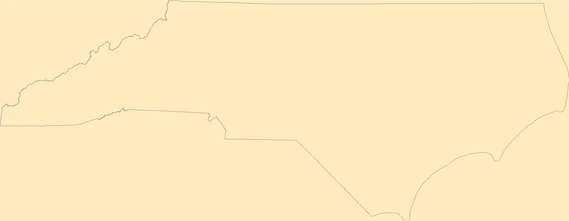
The Geographic Names Information System (GNIS) is the Federal standard for geographic nomenclature. The U.S. Geological Survey developed the GNIS for the U.S. Board on Geographic Names, a Federal inter-agency body chartered by public law to maintain uniform feature name usage throughout the Government and to promulgate standard names to the public. The GNIS is the official repository of domestic geographic names data; the official vehicle for geographic names use by all departments of the Federal Government; and the source for applying geographic names to Federal electronic and printed products of all types.
Tags: Alamance,
Alexander,
Alleghany,
Anson,
Antarctica, All tags...
Antarctica,
Ashe,
Avery,
BGN,
Beaufort,
Bertie,
Bladen,
Board on Geographic Names,
Borough,
Brunswick,
Buncombe,
Burke,
Cabarrus,
Caldwell,
Camden,
Carteret,
Caswell,
Catawba,
Census Area,
Chatham,
Cherokee,
Chowan,
Clay,
Cleveland,
Columbus,
Commonwealth,
County,
Craven,
Cumberland,
Currituck,
Dare,
Davidson,
Davie,
District,
Downloadable Data,
Duplin,
Durham,
Edgecombe,
Feature class,
Feature coordinates,
Feature county,
Feature description,
Feature designation,
Feature history,
Feature indentification,
Feature name,
Feature state,
Forsyth,
Franklin,
GNIS,
Gaston,
Gates,
GeoPackage,
Geographic Names,
Geographic Names Full Model,
Geographic Names Information System,
Geographic feature,
Geographic name,
Geographical feature,
Geographical name,
Graham,
Granville,
Greene,
Guilford,
Halifax,
Harnett,
Haywood,
Henderson,
Hertford,
Hoke,
Hyde,
Iredell,
Jackson,
Johnston,
Jones,
Lee,
Lenoir,
Lincoln,
Macon,
Madison,
Martin,
McDowell,
Mecklenburg,
Mitchell,
Montgomery,
Moore,
Municipio,
NC,
Nash,
National Geographic Names Information System (GNIS),
National Geographic Names Information System (GNIS),
New Hanover,
North Carolina,
Northampton,
Official feature name,
Onslow,
Open Geospatial Consortium GeoPackage 1.2,
Orange,
Outlying Area,
Pamlico,
Parish,
Pasquotank,
Pender,
Perquimans,
Person,
Pitt,
Place name,
Polk,
Populated Place,
Randolph,
Richmond,
Robeson,
Rockingham,
Rowan,
Rutherford,
Sampson,
Scotland,
Stanly,
State,
Stokes,
Surry,
Swain,
Territories,
Territory,
Topographic Map,
Transylvania,
Tyrrell,
U.S. Board on Geographic Names,
U.S. Geological Survey,
US,
USA,
USBGN,
USGS,
Union,
United States,
United States,
United States,
Vance,
Variant name,
Wake,
Warren,
Washington,
Watauga,
Wayne,
Wilkes,
Wilson,
Yadkin,
Yancey,
antarctic,
database,
economy,
environment,
feature,
gazetteer,
geographic,
geographic names,
geographical,
geography,
geospatial,
imageryBaseMapsEarthCover,
inlandWaters,
location,
map,
name,
place,
placename,
society,
structure,
topographic map,
toponymy, Fewer tags
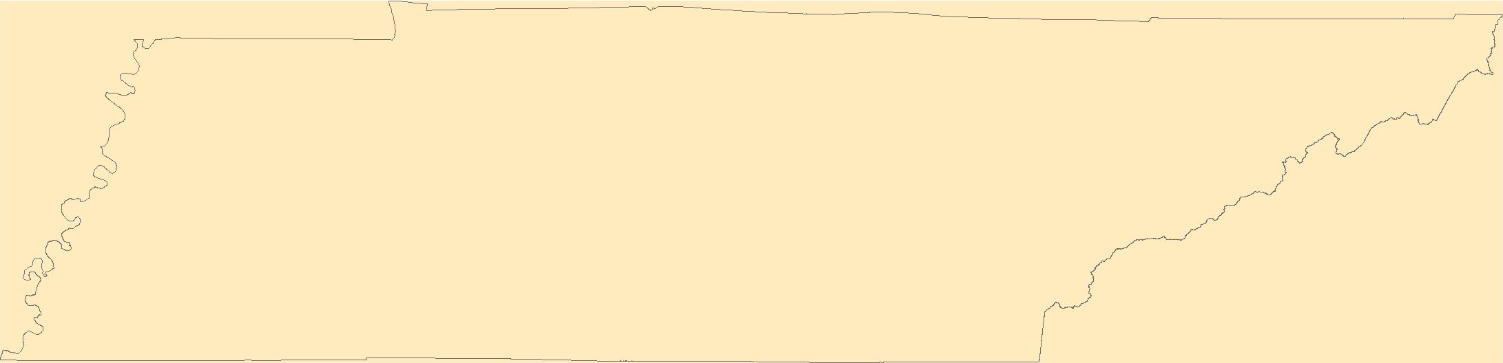
The Geographic Names Information System (GNIS) is the Federal standard for geographic nomenclature. The U.S. Geological Survey developed the GNIS for the U.S. Board on Geographic Names, a Federal inter-agency body chartered by public law to maintain uniform feature name usage throughout the Government and to promulgate standard names to the public. The GNIS is the official repository of domestic geographic names data; the official vehicle for geographic names use by all departments of the Federal Government; and the source for applying geographic names to Federal electronic and printed products of all types.
Tags: Anderson,
Antarctica,
Antarctica,
BGN,
Bedford, All tags...
Benton,
Bledsoe,
Blount,
Board on Geographic Names,
Borough,
Bradley,
Campbell,
Cannon,
Carroll,
Carter,
Census Area,
Cheatham,
Chester,
Claiborne,
Clay,
Cocke,
Coffee,
Commonwealth,
County,
Crockett,
Cumberland,
Davidson,
DeKalb,
Decatur,
Dickson,
District,
Downloadable Data,
Dyer,
Esri File GeoDatabase 10,
Fayette,
Feature class,
Feature coordinates,
Feature county,
Feature description,
Feature designation,
Feature history,
Feature indentification,
Feature name,
Feature state,
Fentress,
FileGDB,
Franklin,
GNIS,
Geographic Names,
Geographic Names Full Model,
Geographic Names Information System,
Geographic feature,
Geographic name,
Geographical feature,
Geographical name,
Gibson,
Giles,
Grainger,
Greene,
Grundy,
Hamblen,
Hamilton,
Hancock,
Hardeman,
Hardin,
Hawkins,
Haywood,
Henderson,
Henry,
Hickman,
Houston,
Humphreys,
Jackson,
Jefferson,
Johnson,
Knox,
Lake,
Lauderdale,
Lawrence,
Lewis,
Lincoln,
Loudon,
Macon,
Madison,
Marion,
Marshall,
Maury,
McMinn,
McNairy,
Meigs,
Monroe,
Montgomery,
Moore,
Morgan,
Municipio,
National Geographic Names Information System (GNIS),
National Geographic Names Information System (GNIS),
Obion,
Official feature name,
Outlying Area,
Overton,
Parish,
Perry,
Pickett,
Place name,
Polk,
Populated Place,
Putnam,
Rhea,
Roane,
Robertson,
Rutherford,
Scott,
Sequatchie,
Sevier,
Shelby,
Smith,
State,
Stewart,
Sullivan,
Sumner,
TN,
Tennessee,
Territories,
Territory,
Tipton,
Topographic Map,
Trousdale,
U.S. Board on Geographic Names,
U.S. Geological Survey,
US,
USA,
USBGN,
USGS,
Unicoi,
Union,
United States,
United States,
United States,
Van Buren,
Variant name,
Warren,
Washington,
Wayne,
Weakley,
White,
Williamson,
Wilson,
antarctic,
database,
economy,
environment,
feature,
gazetteer,
geographic,
geographic names,
geographical,
geography,
geospatial,
imageryBaseMapsEarthCover,
inlandWaters,
location,
map,
name,
place,
placename,
society,
structure,
topographic map,
toponymy, Fewer tags
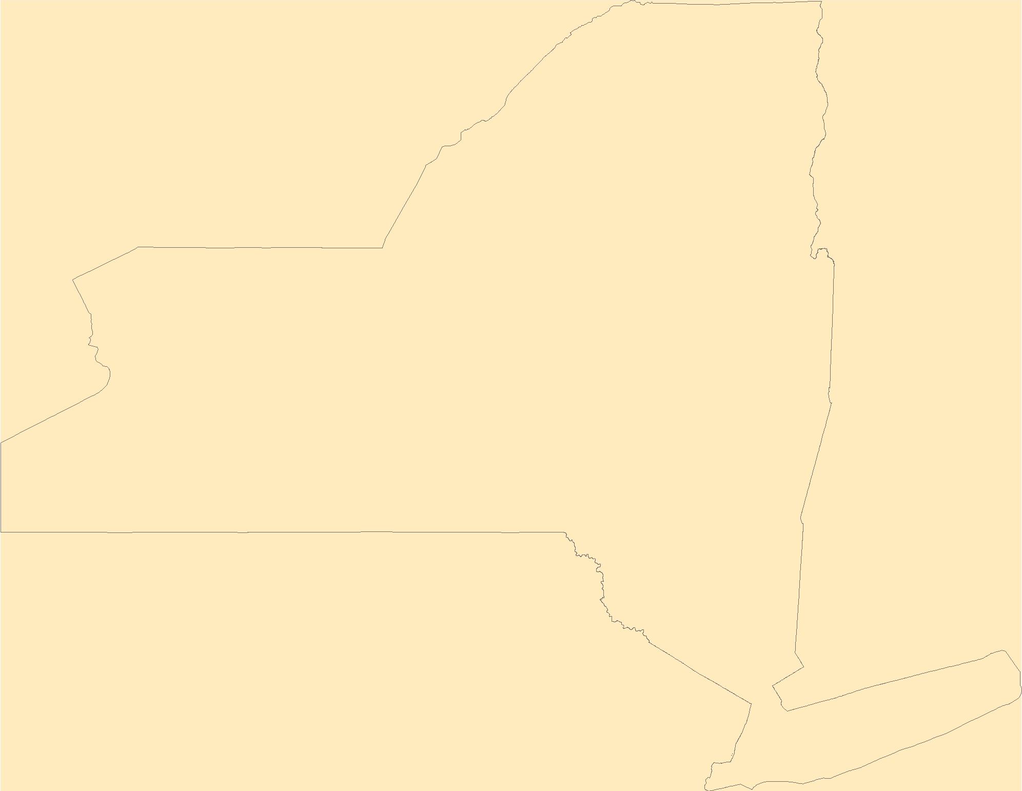
The Geographic Names Information System (GNIS) is the Federal standard for geographic nomenclature. The U.S. Geological Survey developed the GNIS for the U.S. Board on Geographic Names, a Federal inter-agency body chartered by public law to maintain uniform feature name usage throughout the Government and to promulgate standard names to the public. The GNIS is the official repository of domestic geographic names data; the official vehicle for geographic names use by all departments of the Federal Government; and the source for applying geographic names to Federal electronic and printed products of all types.
Tags: Albany,
Allegany,
Antarctica,
Antarctica,
BGN, All tags...
Board on Geographic Names,
Borough,
Bronx,
Broome,
Cattaraugus,
Cayuga,
Census Area,
Chautauqua,
Chemung,
Chenango,
Clinton,
Columbia,
Commonwealth,
Cortland,
County,
Delaware,
District,
Downloadable Data,
Dutchess,
Erie,
Essex,
Feature class,
Feature coordinates,
Feature county,
Feature description,
Feature designation,
Feature history,
Feature indentification,
Feature name,
Feature state,
Franklin,
Fulton,
GNIS,
Genesee,
GeoPackage,
Geographic Names,
Geographic Names Full Model,
Geographic Names Information System,
Geographic feature,
Geographic name,
Geographical feature,
Geographical name,
Greene,
Hamilton,
Herkimer,
Jefferson,
Kings,
Lewis,
Livingston,
Madison,
Monroe,
Montgomery,
Municipio,
NY,
Nassau,
National Geographic Names Information System (GNIS),
National Geographic Names Information System (GNIS),
New York,
New York,
Niagara,
Official feature name,
Oneida,
Onondaga,
Ontario,
Open Geospatial Consortium GeoPackage 1.2,
Orange,
Orleans,
Oswego,
Otsego,
Outlying Area,
Parish,
Place name,
Populated Place,
Putnam,
Queens,
Rensselaer,
Richmond,
Rockland,
Saratoga,
Schenectady,
Schoharie,
Schuyler,
Seneca,
St. Lawrence,
State,
Steuben,
Suffolk,
Sullivan,
Territories,
Territory,
Tioga,
Tompkins,
Topographic Map,
U.S. Board on Geographic Names,
U.S. Geological Survey,
US,
USA,
USBGN,
USGS,
Ulster,
United States,
United States,
United States,
Variant name,
Warren,
Washington,
Wayne,
Westchester,
Wyoming,
Yates,
antarctic,
database,
economy,
environment,
feature,
gazetteer,
geographic,
geographic names,
geographical,
geography,
geospatial,
imageryBaseMapsEarthCover,
inlandWaters,
location,
map,
name,
place,
placename,
society,
structure,
topographic map,
toponymy, Fewer tags
The Geographic Names Information System (GNIS) is the Federal standard for geographic nomenclature. The U.S. Geological Survey developed the GNIS for the U.S. Board on Geographic Names, a Federal inter-agency body chartered by public law to maintain uniform feature name usage throughout the Government and to promulgate standard names to the public. The GNIS is the official repository of domestic geographic names data; the official vehicle for geographic names use by all departments of the Federal Government; and the source for applying geographic names to Federal electronic and printed products of all types.
Tags: Antarctica,
Antarctica,
BGN,
Barnstable,
Berkshire, All tags...
Board on Geographic Names,
Borough,
Bristol,
Census Area,
Commonwealth,
County,
District,
Downloadable Data,
Dukes,
Essex,
Feature class,
Feature coordinates,
Feature county,
Feature description,
Feature designation,
Feature history,
Feature indentification,
Feature name,
Feature state,
Franklin,
GNIS,
GeoPackage,
Geographic Names,
Geographic Names Full Model,
Geographic Names Information System,
Geographic feature,
Geographic name,
Geographical feature,
Geographical name,
Hampden,
Hampshire,
MA,
Massachusetts,
Middlesex,
Municipio,
Nantucket,
National Geographic Names Information System (GNIS),
National Geographic Names Information System (GNIS),
Norfolk,
Official feature name,
Open Geospatial Consortium GeoPackage 1.2,
Outlying Area,
Parish,
Place name,
Plymouth,
Populated Place,
State,
Suffolk,
Territories,
Territory,
Topographic Map,
U.S. Board on Geographic Names,
U.S. Geological Survey,
US,
USA,
USBGN,
USGS,
United States,
United States,
United States,
Variant name,
Worcester,
antarctic,
database,
economy,
environment,
feature,
gazetteer,
geographic,
geographic names,
geographical,
geography,
geospatial,
imageryBaseMapsEarthCover,
inlandWaters,
location,
map,
name,
place,
placename,
society,
structure,
topographic map,
toponymy, Fewer tags
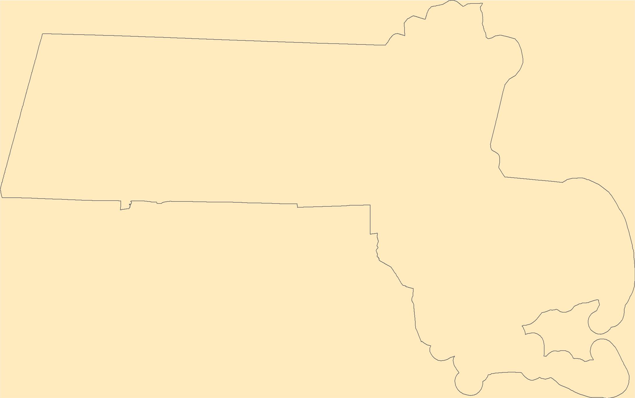
The Geographic Names Information System (GNIS) is the Federal standard for geographic nomenclature. The U.S. Geological Survey developed the GNIS for the U.S. Board on Geographic Names, a Federal inter-agency body chartered by public law to maintain uniform feature name usage throughout the Government and to promulgate standard names to the public. The GNIS is the official repository of domestic geographic names data; the official vehicle for geographic names use by all departments of the Federal Government; and the source for applying geographic names to Federal electronic and printed products of all types.
Tags: Antarctica,
Antarctica,
BGN,
Board on Geographic Names,
Borough, All tags...
Census Area,
Commonwealth,
County,
District,
Downloadable Data,
Feature class,
Feature coordinates,
Feature county,
Feature description,
Feature designation,
Feature history,
Feature indentification,
Feature name,
Feature state,
GNIS,
GeoPackage,
Geographic Names,
Geographic Names Full Model,
Geographic Names Information System,
Geographic feature,
Geographic name,
Geographical feature,
Geographical name,
Municipio,
National Geographic Names Information System (GNIS),
National Geographic Names Information System (GNIS),
Official feature name,
Open Geospatial Consortium GeoPackage 1.2,
Outlying Area,
Parish,
Place name,
Populated Place,
St. Croix,
St. John,
St. Thomas,
State,
Territories,
Territory,
Topographic Map,
U.S. Board on Geographic Names,
U.S. Geological Survey,
US,
USA,
USBGN,
USGS,
United States,
United States,
United States,
VI,
Variant name,
Virgin Islands,
antarctic,
database,
economy,
environment,
feature,
gazetteer,
geographic,
geographic names,
geographical,
geography,
geospatial,
imageryBaseMapsEarthCover,
inlandWaters,
location,
map,
name,
place,
placename,
society,
structure,
topographic map,
toponymy, Fewer tags
Earthquake-triggered ground-failure, such as landsliding and liquefaction, can contribute significantly to losses, but our current ability to accurately include them in earthquake hazard analyses is limited. The development of robust and transportable models requires access to numerous inventories of ground failure triggered by earthquakes that span a broad range of terrains, shaking characteristics, and climates. We present an openly accessible, centralized earthquake-triggered ground-failure inventory repository in the form of a ScienceBase Community to provide open access to these data, and help accelerate progress. The Community hosts digital inventories created by both USGS and non-USGS authors. We present...
Categories: Collection,
Data;
Tags: Earthquake,
Earthquake Hazards,
GHSC,
GIS,
Geologic Hazards Science Center, All tags...
Global,
Inventory,
Landslide,
Landslide Hazards,
USGS,
USGS Science Data Catalog (SDC),
World,
database, Fewer tags

The Desert LCC identified the need for a Protected Areas spatial database that showed land ownership, management designations and conservation status for lands in the United States and Mexico. However, the existing Protected Areas database was found to be particularly prone to boundary and database errors that affected its potential use. This USGS project will develop a single, seamless, error-free Protected Areas dataset for the full geographic scope of the Desert LCC. This will involve acquiring numerous spatial layers from Federal, State, and NGO organizations which are responsible for administering and/or managing areas that have a designated protected status. Protected Area will be categorized as defined by...
Categories: Data,
Project;
Types: Map Service,
OGC WFS Layer,
OGC WMS Layer,
OGC WMS Service;
Tags: 2012,
AZ-01,
AZ-02,
AZ-03,
AZ-04, All tags...
AZ-05,
AZ-06,
AZ-07,
AZ-08,
AZ-09,
Academics & scientific researchers,
Aquascalientes,
Arizona,
Baja California,
Big Bend ‐ Río Bravo & Lower Río Conchos Pilot Area,
CA-08,
CA-23,
CA-25,
CA-27,
CA-36,
CA-50,
CA-51,
California,
Chihuahua,
Coahuila,
Conservation NGOs,
DATA ANALYSIS AND VISUALIZATION,
Data Acquisition and Development,
Data Management and Integration,
Datasets/Database,
Desert LCC (all),
Desert LCC region,
Desert Landscape Conservation Cooperative,
Durango,
EARTH SCIENCE SERVICES,
Federal resource managers,
GEOGRAPHIC INFORMATION SYSTEMS,
GIS,
Guanajuato,
Jalisco,
LCC,
LCC Network Science Catalog,
Mexico,
Mojave Desert Pilot Area,
NM-02,
NV-01,
NV-03,
NV-04,
Nayarit,
Nevada,
New Mexico,
Nuevo León,
Project,
Querétaro,
Regional & county planners,
San Luis Potosi,
Sinaloa,
Sonora,
State agencies,
TX-16,
TX-23,
Tamaulipas,
Texas,
Transboundary Madrean Watersheds Pilot Area,
UT-02,
United States,
Utah,
Zacatecas,
binational,
completed,
database,
environment,
northwestern Mexico,
protected areas,
southwestern United States, Fewer tags
The first part of this webinar will provide an introduction on the need for the development of the Inland Cutthroat Trout Viewing and Editing Web Application. This includes information about the Cutthroat Conservation and Recovery Teams and the value of the Inland Cutthroat Protocol for maintaining current information on species and habitat status, as well as other benefits.The second part is a demonstration of the recently completed web application. This demonstration will cover the map navigation and stream attribute viewer, and editing capabilities, which include tabular attributes as well as geospatial data components. Cutthroat trout covered in this tool are Rio Grande, Colorado River, and Greenback, in each...
Categories: Data;
Tags: EARTH SCIENCE > LAND SURFACE > LANDSCAPE,
LCC Network Science Catalog,
LCC Network Science Catalog,
colorado,
completed, All tags...
cutthroat trout,
database,
environment,
inland cutthroat trout,
presentation,
utah,
web mapping application,
web-based database,
wyoming, Fewer tags

The purpose of the Coral Reef Evaluation and Monitoring Project (CREMP) is to monitor the status and trends of selected reefs in the Florida Keys National Marine Sanctuary(FKNMS). CREMP assessments have been conducted annually at fixed sites since 1996 and data collected provides information on the temporal changes in benthic cover and diversity of stony corals and associated marine flora and fauna. The core field methods continue to be underwater videography and timed coral species inventories. Findings presented in this report include data from 109 stations at 37 sites sampled from 1996 through 2008 in the Florida Keys and 1999 through 2008 in the Dry Tortugas. The report describes the annual differences (between...
Categories: Data;
Types: NetCDF OPeNDAP Service;
Tags: Coral Reef Evaluation and Monitoring Project Florida Keys 2000,
about,
absence,
accepted,
acceptedNameAuthorship, All tags...
acceptedNameUsage,
acceptedNameUsageID,
accepted_aphia_database_identification_number,
accepted_authorship_information,
accepted_name_usage,
aphia,
aphia_database_identification_number,
area,
array,
array-data,
authorship,
authorship_information,
basis,
basis of record,
basis of record,
basisOfRecord,
biogeographic,
biology,
class,
class,
commission,
common,
comprehensive,
conservation,
coral,
coral monitoring,
coverage,
cremp,
data,
data_set_identification,
database,
dataset,
date,
dry tortugas,
evaluation,
event,
eventID,
eventdate,
eventdate,
family,
family,
fish,
florida,
florida keys,
fwc,
fwc-fwri,
fwri,
genus,
genus,
geoscientificInformation,
gulf of mexico,
habitatid,
hierarchy,
identification,
identifier,
information,
institute,
keys,
kingdom,
kingdom,
large,
latitude,
longitude,
marine,
meters,
monitoring,
name,
number,
obis,
occurrence,
occurrenceID,
occurrenceStatus,
occurrence_identification,
ocean,
order,
order,
organism,
organismQuantity,
organismQuantityType,
organism_per_sample_area,
per,
percent,
percent_coverage,
phylum,
phylum,
presence,
project,
rank,
record,
recorded,
recordedBy,
reef,
register,
research,
revisited,
sample,
samples,
scientific,
scientificNameAuthorship,
scientific_name,
scientificname,
scientificnameid,
service,
set,
sitecode,
siteid,
species,
species_name,
specificEpithet,
square,
statement,
station,
status,
stewardship,
subregionid,
system,
taxon,
taxonRank,
taxon_rank,
taxon_status,
taxonomic,
taxonomicStatus,
taxonomy,
time,
unaccepted,
usage,
v2.3,
value,
vernacular,
vernacularName,
vernacular_name,
wildlife,
world,
worms,
year, Fewer tags

The purpose of the Coral Reef Evaluation and Monitoring Project (CREMP) is to monitor the status and trends of selected reefs in the Florida Keys National Marine Sanctuary(FKNMS).CREMP assessments have been conducted annually at fixed sites since 1996 and data collectedprovides information on the temporal changes in benthic cover and diversity of stony corals andassociated marine flora and fauna. The core field methods continue to be underwatervideography and timed coral species inventories. Findings presented in this report include datafrom 109 stations at 37 sites sampled from 1996 through 2008 in the Florida Keys and 1999 through 2008 in the Dry Tortugas. The report describes the annual differences (between 2007...
Categories: Data;
Types: NetCDF OPeNDAP Service;
Tags: Coral Reef Evaluation and Monitoring Project (CREMP),
about,
absence,
accepted,
acceptedNameAuthorship, All tags...
acceptedNameUsage,
acceptedNameUsageID,
accepted_aphia_database_identification_number,
accepted_authorship_information,
accepted_name_usage,
aphia,
aphia_database_identification_number,
area,
array,
array-data,
associatedreferences,
associatedreferences,
authorship,
authorship_information,
basis,
basis of record,
basis of record,
basisOfRecord,
biogeographic,
biology,
class,
class,
commission,
common,
comprehensive,
conservation,
coral,
coral monitoring,
coverage,
cremp,
data,
data_set_identification,
data_set_name,
database,
dataset,
dataset,
datasetName,
date,
dry,
dry tortugas,
evaluation,
event,
eventID,
eventdate,
eventdate,
family,
family,
fish,
florida,
florida keys,
fwc,
fwc-fwri,
fwri,
genus,
genus,
geoscientificInformation,
gulf of mexico,
habitatid,
hierarchy,
identification,
identifier,
information,
institute,
kingdom,
kingdom,
large,
latitude,
longitude,
marine,
meters,
monitoring,
name,
number,
obis,
occurrence,
occurrenceID,
occurrenceStatus,
occurrence_identification,
ocean,
order,
order,
organism,
organismQuantity,
organismQuantityType,
organism_per_sample_area,
per,
percent,
percent_coverage,
phylum,
phylum,
presence,
project,
rank,
record,
recorded,
recordedBy,
reef,
register,
research,
revisited,
sample,
samples,
scientific,
scientificNameAuthorship,
scientific_name,
scientificname,
scientificnameid,
service,
set,
sitecode,
siteid,
species,
species_name,
specificEpithet,
square,
statement,
station,
status,
stewardship,
subregionid,
system,
taxon,
taxonRank,
taxon_rank,
taxon_status,
taxonomic,
taxonomicStatus,
taxonomic_status,
taxonomy,
time,
tortugas,
unaccepted,
usage,
v2.3,
value,
vernacular,
vernacularName,
vernacular_name,
wildlife,
world,
worms,
year, Fewer tags

The purpose of the Coral Reef Evaluation and Monitoring Project (CREMP) is to monitor the status and trends of selected reefs in the Florida Keys National Marine Sanctuary(FKNMS). CREMP assessments have been conducted annually at fixed sites since 1996 and data collected provides information on the temporal changes in benthic cover and diversity of stony corals and associated marine flora and fauna. The core field methods continue to be underwater videography and timed coral species inventories. Findings presented in this report include data from 109 stations at 37 sites sampled from 1996 through 2008 in the Florida Keys and 1999 through 2008 in the Dry Tortugas. The report describes the annual differences (between...
Categories: Data;
Types: NetCDF OPeNDAP Service;
Tags: Coral Reef Evaluation and Monitoring Project (CREMP),
about,
absence,
accepted,
acceptedNameAuthorship, All tags...
acceptedNameUsage,
acceptedNameUsageID,
accepted_aphia_database_identification_number,
accepted_authorship_information,
accepted_name_usage,
aphia,
aphia_database_identification_number,
area,
array,
array-data,
associatedreferences,
associatedreferences,
authorship,
authorship_information,
basis,
basis of record,
basis of record,
basisOfRecord,
biogeographic,
biology,
class,
class,
commission,
common,
comprehensive,
conservation,
coral,
coral monitoring,
coverage,
cremp,
data,
data_set_identification,
data_set_name,
database,
dataset,
dataset,
datasetName,
date,
dry,
dry tortugas,
evaluation,
event,
eventID,
eventdate,
eventdate,
family,
family,
fish,
florida,
florida keys,
fwc,
fwc-fwri,
fwri,
genus,
genus,
geoscientificInformation,
gulf of mexico,
habitatid,
hierarchy,
identification,
identifier,
information,
institute,
kingdom,
kingdom,
large,
latitude,
longitude,
marine,
meters,
monitoring,
name,
number,
obis,
occurrence,
occurrenceID,
occurrenceStatus,
occurrence_identification,
ocean,
order,
order,
organism,
organismQuantity,
organismQuantityType,
organism_per_sample_area,
per,
percent,
percent_coverage,
phylum,
phylum,
presence,
project,
rank,
record,
recorded,
recordedBy,
reef,
register,
research,
revisited,
sample,
samples,
scientific,
scientificNameAuthorship,
scientific_name,
scientificname,
scientificnameid,
service,
set,
sitecode,
siteid,
species,
species_name,
specificEpithet,
square,
statement,
station,
status,
stewardship,
subregionid,
system,
taxon,
taxonRank,
taxon_rank,
taxon_status,
taxonomic,
taxonomicStatus,
taxonomic_status,
taxonomy,
time,
tortugas,
unaccepted,
usage,
v2.3,
value,
vernacular,
vernacularName,
vernacular_name,
wildlife,
world,
worms,
year, Fewer tags

This data provides locations and technical specifications of legacy and current versions of the United States Wind Turbines database. Almost all of which are utility-scale. Utility-scale turbines are ones that generate power and feed it into the grid, supplying a utility with energy. They are usually much larger than turbines that would feed a homeowner or business. Each release, typically done quarterly, updates the database with newly installed wind turbines, removes wind turbines that have been identified as dismantled, and applies other verifications based on updated imagery and ongoing quality-control. Turbine data were gathered from the Federal Aviation Administration's (FAA) Digital Obstacle File (DOF)...
Categories: Data;
Types: ArcGIS REST Map Service,
Map Service;
Tags: ACP,
American Clean Power,
LBNL,
USGS,
USGS Science Data Catalog (SDC), All tags...
USWTDB,
United States,
database,
energy,
national,
ngmdb,
renewable,
shapefile,
turbine,
turbine characteristics,
verified,
wind,
wind facility,
wind farm,
wind turbine, Fewer tags
The Geographic Names Information System (GNIS) is the Federal standard for geographic nomenclature. The U.S. Geological Survey developed the GNIS for the U.S. Board on Geographic Names, a Federal inter-agency body chartered by public law to maintain uniform feature name usage throughout the Government and to promulgate standard names to the public. The GNIS is the official repository of domestic geographic names data; the official vehicle for geographic names use by all departments of the Federal Government; and the source for applying geographic names to Federal electronic and printed products of all types.
Tags: Aitkin,
Anoka,
Antarctica,
Antarctica,
BGN, All tags...
Becker,
Beltrami,
Benton,
Big Stone,
Blue Earth,
Board on Geographic Names,
Borough,
Brown,
Carlton,
Carver,
Cass,
Census Area,
Chippewa,
Chisago,
Clay,
Clearwater,
Commonwealth,
Cook,
Cottonwood,
County,
Crow Wing,
Dakota,
District,
Dodge,
Douglas,
Downloadable Data,
Faribault,
Feature class,
Feature coordinates,
Feature county,
Feature description,
Feature designation,
Feature history,
Feature indentification,
Feature name,
Feature state,
Fillmore,
Freeborn,
GNIS,
Geographic Names,
Geographic Names Federal Codes,
Geographic Names Information System,
Geographic feature,
Geographic name,
Geographical feature,
Geographical name,
Goodhue,
Grant,
Hennepin,
Houston,
Hubbard,
Isanti,
Itasca,
Jackson,
Kanabec,
Kandiyohi,
Kittson,
Koochiching,
Lac qui Parle,
Lake,
Lake of the Woods,
Le Sueur,
Lincoln,
Lyon,
MN,
Mahnomen,
Marshall,
Martin,
McLeod,
Meeker,
Mille Lacs,
Minnesota,
Morrison,
Mower,
Municipio,
Murray,
National Geographic Names Information System (GNIS),
National Geographic Names Information System (GNIS),
Nicollet,
Nobles,
Norman,
Official feature name,
Olmsted,
Otter Tail,
Outlying Area,
Parish,
Pennington,
Pine,
Pipestone,
Place name,
Polk,
Pope,
Populated Place,
Ramsey,
Red Lake,
Redwood,
Renville,
Rice,
Rock,
Roseau,
Scott,
Sherburne,
Sibley,
St. Louis,
State,
Stearns,
Steele,
Stevens,
Swift,
TXT (pipes),
Territories,
Territory,
Todd,
Topographic Map,
Traverse,
U.S. Board on Geographic Names,
U.S. Geological Survey,
US,
USA,
USBGN,
USGS,
UTF-8 Pipe Delimited Text File nan,
United States,
United States,
United States,
Variant name,
Wabasha,
Wadena,
Waseca,
Washington,
Watonwan,
Wilkin,
Winona,
Wright,
Yellow Medicine,
antarctic,
database,
economy,
environment,
feature,
gazetteer,
geographic,
geographic names,
geographical,
geography,
geospatial,
imageryBaseMapsEarthCover,
inlandWaters,
location,
map,
name,
place,
placename,
society,
structure,
topographic map,
toponymy, Fewer tags
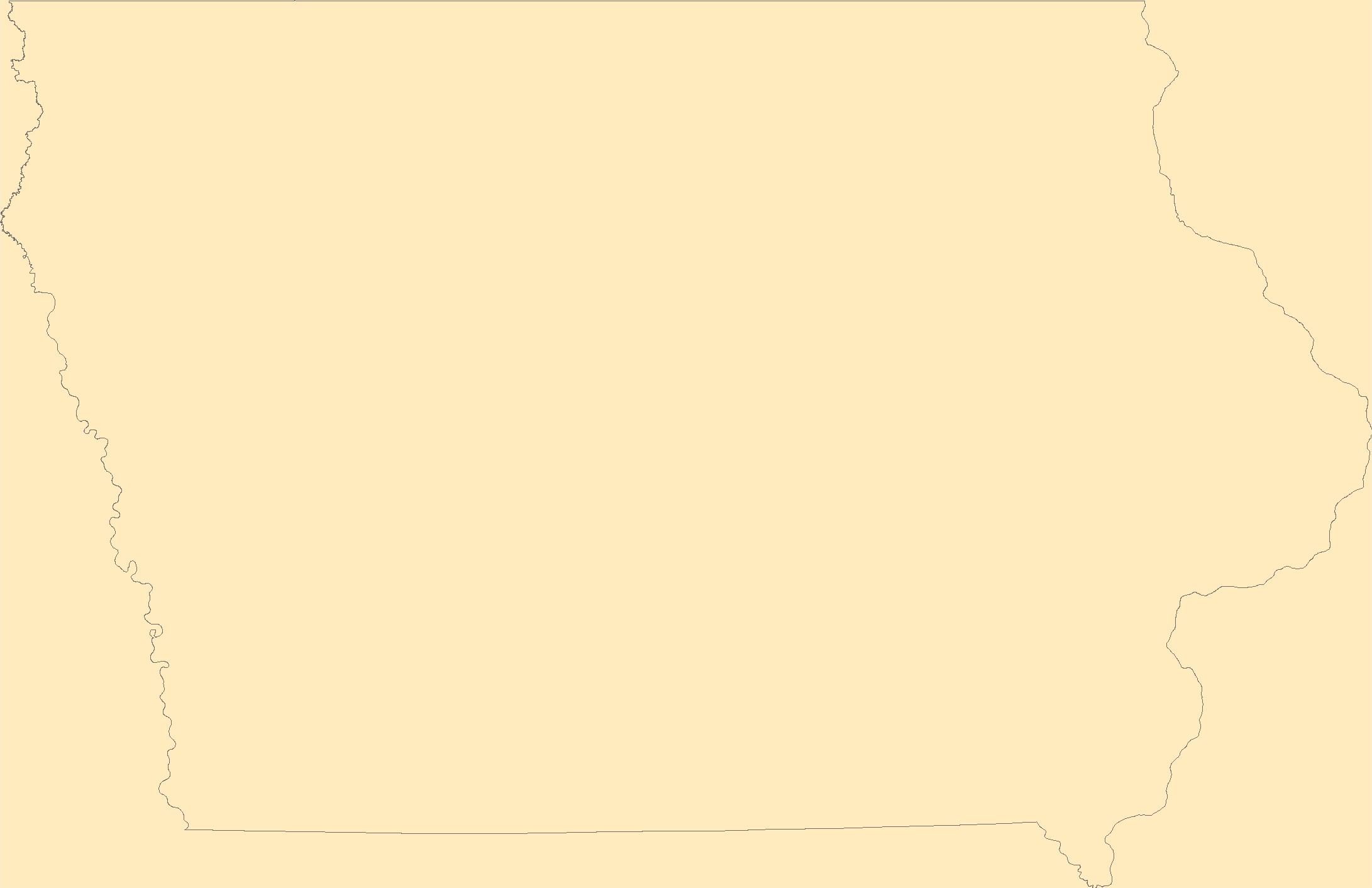
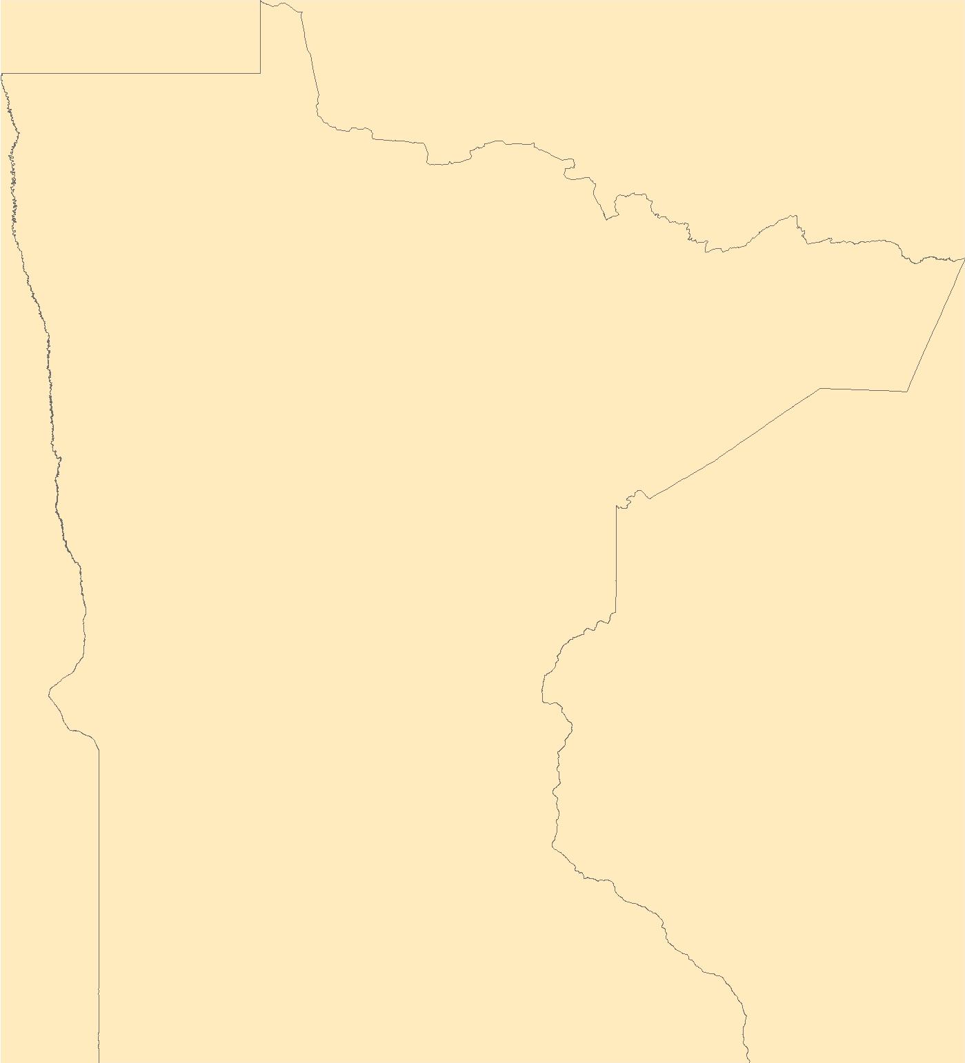
The Geographic Names Information System (GNIS) is the Federal standard for geographic nomenclature. The U.S. Geological Survey developed the GNIS for the U.S. Board on Geographic Names, a Federal inter-agency body chartered by public law to maintain uniform feature name usage throughout the Government and to promulgate standard names to the public. The GNIS is the official repository of domestic geographic names data; the official vehicle for geographic names use by all departments of the Federal Government; and the source for applying geographic names to Federal electronic and printed products of all types.
Tags: Adair,
Adams,
Allamakee,
Antarctica,
Antarctica, All tags...
Appanoose,
Audubon,
BGN,
Benton,
Black Hawk,
Board on Geographic Names,
Boone,
Borough,
Bremer,
Buchanan,
Buena Vista,
Butler,
Calhoun,
Carroll,
Cass,
Cedar,
Census Area,
Cerro Gordo,
Cherokee,
Chickasaw,
Clarke,
Clay,
Clayton,
Clinton,
Commonwealth,
County,
Crawford,
Dallas,
Davis,
Decatur,
Delaware,
Des Moines,
Dickinson,
District,
Downloadable Data,
Dubuque,
Emmet,
Fayette,
Feature class,
Feature coordinates,
Feature county,
Feature description,
Feature designation,
Feature history,
Feature indentification,
Feature name,
Feature state,
Floyd,
Franklin,
Fremont,
GNIS,
Geographic Names,
Geographic Names Federal Codes,
Geographic Names Information System,
Geographic feature,
Geographic name,
Geographical feature,
Geographical name,
Greene,
Grundy,
Guthrie,
Hamilton,
Hancock,
Hardin,
Harrison,
Henry,
Howard,
Humboldt,
IA,
Ida,
Iowa,
Iowa,
Jackson,
Jasper,
Jefferson,
Johnson,
Jones,
Keokuk,
Kossuth,
Lee,
Linn,
Louisa,
Lucas,
Lyon,
Madison,
Mahaska,
Marion,
Marshall,
Mills,
Mitchell,
Monona,
Monroe,
Montgomery,
Municipio,
Muscatine,
National Geographic Names Information System (GNIS),
National Geographic Names Information System (GNIS),
O'Brien,
Official feature name,
Osceola,
Outlying Area,
Page,
Palo Alto,
Parish,
Place name,
Plymouth,
Pocahontas,
Polk,
Populated Place,
Pottawattamie,
Poweshiek,
Ringgold,
Sac,
Scott,
Shelby,
Sioux,
State,
Story,
TXT (pipes),
Tama,
Taylor,
Territories,
Territory,
Topographic Map,
U.S. Board on Geographic Names,
U.S. Geological Survey,
US,
USA,
USBGN,
USGS,
UTF-8 Pipe Delimited Text File nan,
Union,
United States,
United States,
United States,
Van Buren,
Variant name,
Wapello,
Warren,
Washington,
Wayne,
Webster,
Winnebago,
Winneshiek,
Woodbury,
Worth,
Wright,
antarctic,
database,
economy,
environment,
feature,
gazetteer,
geographic,
geographic names,
geographical,
geography,
geospatial,
imageryBaseMapsEarthCover,
inlandWaters,
location,
map,
name,
place,
placename,
society,
structure,
topographic map,
toponymy, Fewer tags
|
|

