Filters: Tags: defoliant (X)
6 results (9ms)|
Filters
Date Range
Types Contacts
Categories Tag Types Tag Schemes |

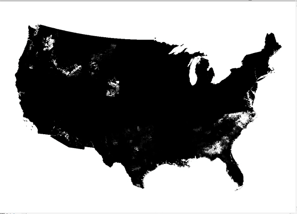
These data were released prior to the October 1, 2016 effective date for the USGS’s policy dictating the review, approval, and release of scientific data as referenced in USGS Survey Manual Chapter 502.8 Fundamental Science Practices: Review and Approval of Scientific Data for Release. This spatial dataset consists of 219 1-kilometer (km) resolution grids depicting estimated agricultural use of 219 pesticides in 1997 for the conterminous United States. Each grid cell value in the national grids of this dataset is the estimated total kilograms (kg) of a pesticide applied to row crops, small grain crops and fallow land, pasture and hay crops, and orchard and vineyard crops within the 1- by 1-km area. Nonagricultural...

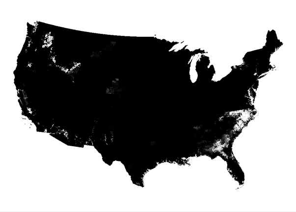
This spatial dataset consists of 199 1-kilometer (km) resolution grids depicting estimated agricultural use of 199 pesticides in 1992 for the conterminous United States. Each grid cell value in the national grids of this dataset is the estimated total kilograms (kg) of a pesticide applied to row crops, small grain crops and fallow land, pasture and hay crops, and orchard and vineyard crops within the 1- by 1-km area. Nonagricultural uses of pesticides are not included in this dataset. Of the 199 pesticides represented in the grids, 92 are herbicides, 58 are insecticides, and 32 are fungicides. The remaining 17 grids are composed of the category "other pesticides", which consists of fumigants, growth regulators,...
This dataset was combined by CBI from 219 1-kilometer (km) resolution grids depicting estimated agricultural use of 219 pesticides in 1997 for the conterminous United States produced by the USGS. CBI selected those pesticides that had nonzero values within this ecoregion. CBI created an additional attribute "PEST_SUM" that represents a value weighted sum across all pesticides, produced by summing together the proportion of the value for a particular pesticide for a given pixel to the total amount of that pesticide observed within this ecoregion. This sum approaches a greater number where more of the pesticides are applied at higher quantities relative within this ecoregion. This attribute has not been approved by...
This dataset was combined by CBI from 219 1-kilometer (km) resolution grids depicting estimated agricultural use of 219 pesticides in 1997 for the conterminous United States produced by the USGS. CBI selected those pesticides that had nonzero values within this ecoregion. CBI created an additional attribute "PEST_SUM" that represents a value weighted sum across all pesticides, produced by summing together the proportion of the value for a particular pesticide for a given pixel to the total amount of that pesticide observed within this ecoregion. This sum approaches a greater number where more of the pesticides are applied at higher quantities relative within this ecoregion. This attribute has not been approved by...

This spatial dataset consists of 219 1-kilometer (km) resolution grids depicting estimated agricultural use of 219 pesticides in 1997 for the conterminous United States. Each grid cell value in the national grids of this dataset is the estimated total kilograms (kg) of a pesticide applied to row crops, small grain crops and fallow land, pasture and hay crops, and orchard and vineyard crops within the 1- by 1-km area. Nonagricultural uses of pesticides are not included in this dataset. Of the 219 pesticidesrepresented in the grids, 96 are herbicides, 65 are insecticides, and 37 are fungicides. The remaining 21 compounds are composed of the category "other pesticides", which consist of fumigants, growth regulators,...

These data were released prior to the October 1, 2016 effective date for the USGS’s policy dictating the review, approval, and release of scientific data as referenced in USGS Survey Manual Chapter 502.8 Fundamental Science Practices: Review and Approval of Scientific Data for Release. This spatial dataset consists of 199 1-kilometer (km) resolution grids depicting estimated agricultural use of 199 pesticides in 1992 for the conterminous United States. Each grid cell value in the national grids of this dataset is the estimated total kilograms (kg) of a pesticide applied to row crops, small grain crops and fallow land, pasture and hay crops, and orchard and vineyard crops within the 1- by 1-km area. Nonagricultural...
|

|