Filters: Tags: elk (X)
535 results (11ms)|
Filters
Date Range
Extensions Types Contacts
Categories Tag Types
|
This data set contains imagery from the National Agriculture Imagery Program (NAIP). The NAIP program is administered by USDA FSA and has been established to support two main FSA strategic goals centered on agricultural production. These are, increase stewardship of America's natural resources while enhancing the environment, and to ensure commodities are procured and distributed effectively and efficiently to increase food security. The NAIP program supports these goals by acquiring and providing ortho imagery that has been collected during the agricultural growing season in the U.S. The NAIP ortho imagery is tailored to meet FSA requirements and is a fundamental tool used to support FSA farm and conservation programs....
This data set contains imagery from the National Agriculture Imagery Program (NAIP). The NAIP program is administered by USDA FSA and has been established to support two main FSA strategic goals centered on agricultural production. These are, increase stewardship of America's natural resources while enhancing the environment, and to ensure commodities are procured and distributed effectively and efficiently to increase food security. The NAIP program supports these goals by acquiring and providing ortho imagery that has been collected during the agricultural growing season in the U.S. The NAIP ortho imagery is tailored to meet FSA requirements and is a fundamental tool used to support FSA farm and conservation programs....
This data set contains imagery from the National Agriculture Imagery Program (NAIP). The NAIP program is administered by USDA FSA and has been established to support two main FSA strategic goals centered on agricultural production. These are, increase stewardship of America's natural resources while enhancing the environment, and to ensure commodities are procured and distributed effectively and efficiently to increase food security. The NAIP program supports these goals by acquiring and providing ortho imagery that has been collected during the agricultural growing season in the U.S. The NAIP ortho imagery is tailored to meet FSA requirements and is a fundamental tool used to support FSA farm and conservation programs....
This data set contains imagery from the National Agriculture Imagery Program (NAIP). The NAIP program is administered by USDA FSA and has been established to support two main FSA strategic goals centered on agricultural production. These are increase stewardship of America's natural resources while enhancing the environment, and to ensure commodities are procured and distributed effectively and efficiently to increase food security. The NAIP program supports these goals by acquiring and providing ortho imagery that has been collected during the agricultural growing season in the U.S. The NAIP ortho imagery is tailored to meet FSA requirements and is a fundamental tool used to support FSA farm and conservation programs....
This data set represents the 2010 elk seasonal range boundaries for Wyoming. Seasonal range delineations depict lands that are important in each season for certain biological processes within a herd unit. Seasonal range boundaries are based on long-term observation data, specific research projects, and professional judgement. Ranges are digitized at a scale of 1:100,000 using USGS 1:100,000 DRGs as a backdrop for heads up digitizing, and are revised as needed by the Wyoming Game and Fish Department. Current seasonal range definitions are based on a 1990 document drafted by the Wyoming Chapter of The Wildlife Society in cooperation with the Wyoming Game and Fish Department and federal land agencies.
This project will to improve the irrigated meadows on the Cokeville Meadows National Wildlife Refuge (NWR). Engineering and design will be provided to improve the condition of unused irrigation systems and pumps and to install additional head gates and dikes. Rehabilitation of about 7 miles of dike for the B-Q Canal; creating a grass bank at Cokeville Meadows NWR; planting and weed control will restore 1,300 acres of irrigated hay meadows on the Refuge that are currently unproductive; monitoring elk movement east of NWR. This project will improve irrigation efficiency and flooding of approximately 1,300 acres of hay meadows that are currently unproductive. These improvements will increase nesting habitat for the...
Categories: Project;
Types: ScienceBase Project;
Tags: Habitat,
aquatic,
elk,
habitat conservation project,
migratory birds,
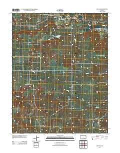
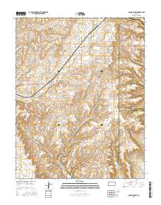
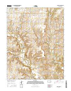
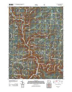
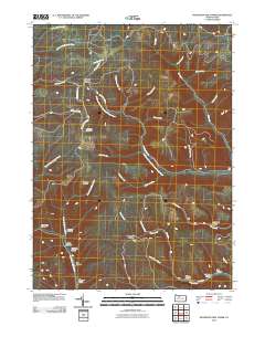
Layered GeoPDF 7.5 Minute Quadrangle Map. Layers of geospatial data include orthoimagery, roads, grids, geographic names, elevation contours, hydrography, and other selected map features.
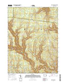
Layered geospatial PDF Map. Layers of geospatial data include orthoimagery, roads, grids, geographic names, elevation contours, hydrography, and other selected map features.
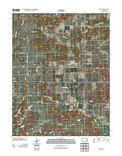
Layered GeoPDF 7.5 Minute Quadrangle Map. Layers of geospatial data include orthoimagery, roads, grids, geographic names, elevation contours, hydrography, and other selected map features.
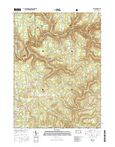
Layered geospatial PDF Map. Layers of geospatial data include orthoimagery, roads, grids, geographic names, elevation contours, hydrography, and other selected map features.
Layered GeoPDF 7.5 Minute Quadrangle Map. Layers of geospatial data include orthoimagery, roads, grids, geographic names, elevation contours, hydrography, and other selected map features.
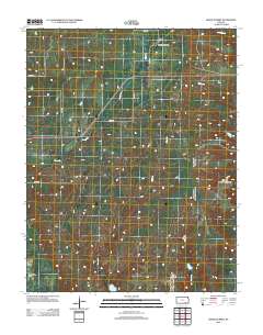
Layered GeoPDF 7.5 Minute Quadrangle Map. Layers of geospatial data include orthoimagery, roads, grids, geographic names, elevation contours, hydrography, and other selected map features.
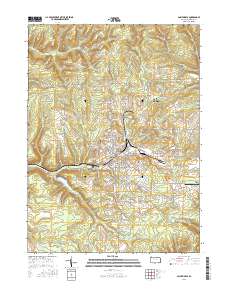
Layered geospatial PDF Map. Layers of geospatial data include orthoimagery, roads, grids, geographic names, elevation contours, hydrography, and other selected map features.
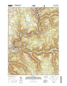
Layered geospatial PDF Map. Layers of geospatial data include orthoimagery, roads, grids, geographic names, elevation contours, hydrography, and other selected map features.
This dataset presents current and future change agent models and combined future potential for change (PFC) within big game seasonal ranges.The big game seasonal ranges extent was determined by aggregating datasets on seasonal ranges of several big game species (Elk, Mule Deer, Pronghorn, and Bighorn Sheep). Seasonal ranges include winter, crucial winter, crucial summer, and parturition areas. Data were obtained from state natural resource agencies (Colorado Parks and Wildlife) and the BLM.This dataset presents current and future change agent models and combined future potential for climate change (PFC). Potential for change (PFC) was determined by calculating the maximum potential for change among all change agents...
Types: Downloadable;
Tags: BLM,
Big Game,
Bighorn Sheep,
Bureau of Land Management,
Crucial Summer Range,
Layered GeoPDF 7.5 Minute Quadrangle Map. Layers of geospatial data include orthoimagery, roads, grids, geographic names, elevation contours, hydrography, and other selected map features.
Layered GeoPDF 7.5 Minute Quadrangle Map. Layers of geospatial data include orthoimagery, roads, grids, geographic names, elevation contours, hydrography, and other selected map features.
This dataset presents current and future change agent models and combined future potential for change (PFC) within Elk-mule deer assemblage potentially suitable habitat.The elk-mule deer assemblage potentially suitable habitat extent was determined using the SWReGAP Vertebrate Habitat Distribution Model for the mule deer clipped to the study area for the SLV-TP Landscape Assessment. The dataset includes only potentially suitable habitat and does not directly represent movement corridors or seasonal ranges. This dataset presents current and future change agent models and combined future potential for change (PFC). Potential for change (PFC) was determined by calculating the maximum potential for change among all...
Layered GeoPDF 7.5 Minute Quadrangle Map. Layers of geospatial data include orthoimagery, roads, grids, geographic names, elevation contours, hydrography, and other selected map features.
Layered GeoPDF 7.5 Minute Quadrangle Map. Layers of geospatial data include orthoimagery, roads, grids, geographic names, elevation contours, hydrography, and other selected map features.
|

|
