Filters: Tags: fungicide (X) > partyWithName: U.S. Geological Survey (X)
12 results (29ms)|
Filters
Date Range
Types Contacts Categories Tag Types Tag Schemes |
Field spikes were prepared at 207 stream and river sites as part of the U.S. Geological Survey (USGS) National Water Quality Assessment (NAWQA) project between December, 2012, and September, 2015. At the field site, a depth-and width-integrated environmental sample was collected, and one subsample of the environmental sample was spiked with a known amount of a spike mixture. Both the spiked subsample ("spike sample") and another subsample ("environmental sample") of the original water sample were analyzed for pesticides at the USGS National Water Quality Laboratory (NWQL) by direct injection liquid chromatography with tandem mass spectrometry (LC-MS/MS), and were used to calculate the spike recovery of each analyte....
Dissolved pesticides were measured in weekly water samples from 100 wadeable streams across eleven states in the Midwestern U.S. during May-August, 2013, as part of the Midwest Stream Quality Assessment study conducted by the U.S. Geological Survey's (USGS) National Water Quality Assessment (NAWQA) Project. Of the 100 stream sites, 12 were urban indicator sites and the remaining 88 sites were located along an agricultural gradient of watershed land use. Twelve depth- and width-integrated samples were collected at each site within the 14-week study period. Water samples were filtered (0.7 micrometers) and analyzed for 227 pesticide compounds by direct-injection liquid chromatography with tandem mass-spectrometry,...

These data were released prior to the October 1, 2016 effective date for the USGS’s policy dictating the review, approval, and release of scientific data as referenced in USGS Survey Manual Chapter 502.8 Fundamental Science Practices: Review and Approval of Scientific Data for Release. This spatial dataset consists of 219 1-kilometer (km) resolution grids depicting estimated agricultural use of 219 pesticides in 1997 for the conterminous United States. Each grid cell value in the national grids of this dataset is the estimated total kilograms (kg) of a pesticide applied to row crops, small grain crops and fallow land, pasture and hay crops, and orchard and vineyard crops within the 1- by 1-km area. Nonagricultural...

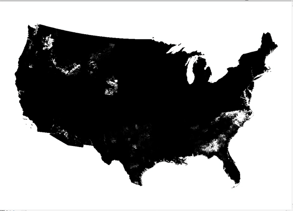
This spatial dataset consists of 199 1-kilometer (km) resolution grids depicting estimated agricultural use of 199 pesticides in 1992 for the conterminous United States. Each grid cell value in the national grids of this dataset is the estimated total kilograms (kg) of a pesticide applied to row crops, small grain crops and fallow land, pasture and hay crops, and orchard and vineyard crops within the 1- by 1-km area. Nonagricultural uses of pesticides are not included in this dataset. Of the 199 pesticides represented in the grids, 92 are herbicides, 58 are insecticides, and 32 are fungicides. The remaining 17 grids are composed of the category "other pesticides", which consists of fumigants, growth regulators,...
These data were released prior to the October 1, 2016 effective date for the USGS’s policy dictating the review, approval, and release of scientific data as referenced in USGS Survey Manual Chapter 502.8 Fundamental Science Practices: Review and Approval of Scientific Data for Release. This dataset includes information for 220 pesticides on the average amount (pounds) applied to 87 agricultural crops and the acres of crops treated for counties within the conterminous United States. These data were derived by combining published state pesticide use coefficients published by the National Center for Food and Agricultural Policy (NCFAP) and county harvested crop acres available from the 1997 Census of Agriculture....
This U.S. Geological Survey data release provides the data and citations for selected tables and figures in “Agriculture-A river runs through it-The connections between agriculture and water quality”. This Circular is based on the National Water-Quality Assessment Project’s study of Agricultural Chemicals: Sources, Behavior, and Transport. This study focused on the connections between agriculture and water quality by examining multiple components of the hydrological system within agricultural areas to improve the understanding of how agricultural chemicals are transported into and through streams and groundwater. These data support the following publication: Capel, P.D., McCarthy, K.A., Coupe, R.H., Grey, K.M.,...
These data represent surface water and bed sediment samples analyzed for a variety of organic compounds. The samples were collected in streams and rivers in the Chesapeake Bay watershed from 2012-2018. Sites were located in Maryland, Pennsylvania, and West Virginia. Surface water samples were collected from 25 sites and analyzed for estrogenicity and an extensive suite of organic contaminants including hormones, pharmaceuticals, wastewater indicators, pesticides, phytoestrogens, and mycotoxins. Bed sediment samples were collected from 20 sites and analyzed for a suite of organic contaminants including hormones, wastewater indicators, pesticides, and organohalogens. Bed sediment was also analyzed for total organic...
Categories: Data Release - Revised;
Tags: Androgen,
Caffeine/Nicotine,
Chesapeake Bay,
Endocrine Disruption,
Estrogen,

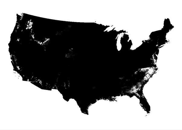
This spatial dataset consists of 219 1-kilometer (km) resolution grids depicting estimated agricultural use of 219 pesticides in 1997 for the conterminous United States. Each grid cell value in the national grids of this dataset is the estimated total kilograms (kg) of a pesticide applied to row crops, small grain crops and fallow land, pasture and hay crops, and orchard and vineyard crops within the 1- by 1-km area. Nonagricultural uses of pesticides are not included in this dataset. Of the 219 pesticidesrepresented in the grids, 96 are herbicides, 65 are insecticides, and 37 are fungicides. The remaining 21 compounds are composed of the category "other pesticides", which consist of fumigants, growth regulators,...
This data set brings together and categorizes many of the chemicals, solids, and microorganisms that are used in agriculture or produced as by-products of agriculture in the United States (as of 2009). Each entry in the data set includes the name, Chemical Abstracts Service Registry Number, purpose(s) in agriculture, and a reference. For pesticides and their degradates, the pesticidal use, parent pesticide, and the United States Environmental Protection Agency Pesticide Chemical Code are included. The data were compiled as part of a U.S. Geological Survey study to improve the understanding of field-scale and watershed-scale hydrology and the environmental behavior of individual chemicals. The goals of the study...
Categories: Data;
Tags: USGS Science Data Catalog (SDC),
United States,
agricultural chemicals,
antimicrobial,
chemical transformation,
These data were released prior to the October 1, 2016 effective date for the USGS’s policy dictating the review, approval, and release of scientific data as referenced in USGS Survey Manual Chapter 502.8 Fundamental Science Practices: Review and Approval of Scientific Data for Release. This dataset includes information for 200 pesticides on the average amount (pounds) applied to 87 agricultural crops and the acres of crops treated for counties within the conterminous United States. These data were derived by combining published state pesticide use coefficients published by the National Center for Food and Agricultural Policy (NCFAP) and county harvested crop acres available from the 1992 Census of Agriculture....
Categories: pre-SM502.8;
Tags: Census of Agriculture,
Conterminous United States,
NAWQA,
NSDI,
National Water Quality Assessment Program,

These data were released prior to the October 1, 2016 effective date for the USGS’s policy dictating the review, approval, and release of scientific data as referenced in USGS Survey Manual Chapter 502.8 Fundamental Science Practices: Review and Approval of Scientific Data for Release. This spatial dataset consists of 199 1-kilometer (km) resolution grids depicting estimated agricultural use of 199 pesticides in 1992 for the conterminous United States. Each grid cell value in the national grids of this dataset is the estimated total kilograms (kg) of a pesticide applied to row crops, small grain crops and fallow land, pasture and hay crops, and orchard and vineyard crops within the 1- by 1-km area. Nonagricultural...
Dissolved pesticides were measured in weekly water samples from 100 wadeable freshwater streams across eleven states in the Midwestern U.S. during May-August, 2013, as part of the Midwest Stream Quality Assessment study conducted by the U.S. Geological Survey's (USGS) National Water Quality Assessment (NAWQA) Project. Of the 100 stream sites, 12 were urban indicator sites and the remaining 88 sites were located along an agricultural gradient of watershed land use. Twelve depth- and width-integrated water samples were collected at each site within the 14-week study period. Water samples were filtered (0.7 micrometers) and analyzed for 227 pesticide compounds by direct-injection liquid chromatography with tandem mass-spectrometry,...
|

|