Filters: Tags: hydrology (X) > Date Range: {"choice":"week"} (X)
20 results (12ms)|
Filters
Date Types (for Date Range)
Contacts
Categories Tag Types Tag Schemes |

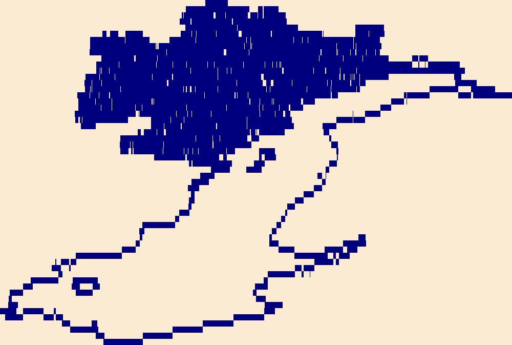
The High Resolution National Hydrography Dataset Plus (NHDPlus HR) is an integrated set of geospatial data layers, including the National Hydrography Dataset (NHD), National Watershed Boundary Dataset (WBD), and 3D Elevation Program Digital Elevation Model (3DEP DEM). The NHDPlus HR combines the NHD, 3DEP DEMs, and WBD to a data suite that includes the NHD stream network with linear referencing functionality, the WBD hydrologic units, elevation-derived catchment areas for each stream segment, "value added attributes" (VAAs), and other features that enhance hydrologic data analysis and routing.

The High Resolution National Hydrography Dataset Plus (NHDPlus HR) is an integrated set of geospatial data layers, including the National Hydrography Dataset (NHD), National Watershed Boundary Dataset (WBD), and 3D Elevation Program Digital Elevation Model (3DEP DEM). The NHDPlus HR combines the NHD, 3DEP DEMs, and WBD to a data suite that includes the NHD stream network with linear referencing functionality, the WBD hydrologic units, elevation-derived catchment areas for each stream segment, "value added attributes" (VAAs), and other features that enhance hydrologic data analysis and routing.
The data release consists of two companion air and water temperature datasets collected as part of the U.S. Geological Survey (USGS) Next Generation Water Observing System (NGWOS) program with data from both the Little Lehigh and White Clay Creek Watersheds in the Delaware River Basin. Data consists of 15-minute temperature data during the 7/2021 – 12/2022 study period for 21 air and 49 water locations (which include 6 continuous monitoring USGS streamgages) in the Little Lehigh Creek watershed and 8/2021 – 1/2023 for 28 air and 36 surface water locations (including 6 continuous monitoring USGS streamgages) in the White Clay Creek watershed. Datalogger installation locations for surface water locations were targeted...
Categories: Data;
Tags: Air Temperature,
Continuous Data,
Delaware River Basin,
Hydrology,
Pennsylvania,
This data release contains site information and potential explanatory factor data for 1,899 groundwater sites. These sites were used to assess groundwater quality in aquifers used for domestic and public drinking water supply in the southeastern San Joaquin Valley. The southeastern San Joaquin Valley (SESJV) study unit consists of five study areas whose boundaries are defined by the eponymous California Department of Water Resources groundwater subbasins of the San Joaquin Valley groundwater basin: Madera-Chowchilla, Kings, Kaweah, Tule, and Tulare Lake. The sites consist of 198 wells representing the domestic-supply aquifer and 1,701 wells representing the public-supply aquifer. The domestic-supply aquifer wells...
This data release provides model inputs and outputs for a model that predicts redox conditions in groundwater in the contiguous United States. Input variables describe the hydrology, soils, geology, and hydrologic position of groundwater sample locations. The data release accompanies a journal article that describes model development and applications (Tesoriero_and_others_2023).
Categories: Data;
Tags: Hydrology,
USGS Science Data Catalog (SDC),
United States,
environment,
groundwater,

The High Resolution National Hydrography Dataset Plus (NHDPlus HR) is an integrated set of geospatial data layers, including the National Hydrography Dataset (NHD), National Watershed Boundary Dataset (WBD), and 3D Elevation Program Digital Elevation Model (3DEP DEM). The NHDPlus HR combines the NHD, 3DEP DEMs, and WBD to a data suite that includes the NHD stream network with linear referencing functionality, the WBD hydrologic units, elevation-derived catchment areas for each stream segment, "value added attributes" (VAAs), and other features that enhance hydrologic data analysis and routing.
Peak-flow frequency analysis is crucial in various water-resources management applications, including floodplain management and critical structure design. Federal guidelines for peak-flow frequency analyses, provided in Bulletin 17C, assume that the statistical properties of the hydrologic processes driving variability in peak flows do not change over time and so the frequency distribution of annual peak flows is stationary. Better understanding of long-term climatic persistence and further consideration of potential climate and land-use changes have caused the assumption of stationarity to be reexamined. This data release contains input data and results of a study investigating hydroclimatic trends in peak streamflow...
Data consist of presence / absence records of planktic foraminifer species from 5 core samples at 3 localities in southeast Florida. Samples are placed in biostratigraphic zones and ages are estimated from calibrated first and last appearances of select taxa.
Types: Map Service,
OGC WFS Layer,
OGC WMS Layer,
OGC WMS Service;
Tags: Florida,
Hydrology,
Marine Geology,
Pliocene,
Stratigraphy,
A hydrodynamic and water-quality model (CE-QUAL-W2) was developed of a 21-mile reach of the upper Illinois River including a 3-mile reach of a major tributary, the Fox River. The CE-QUAL-W2 model is 2-dimensional in the vertical and longitudinal directions and averaged over the lateral direction. Continuous water quality and streamgage data provided time-series data for model boundary conditions. Discrete velocity, cross-section area, and temperature profiles at several locations within the study reach provided model calibration data. The model was calibrated to 2021 and 2022 observed data and validated with 2020 data. Model output consisted of 2-dimensional, laterally averaged hydrodynamic and water-temperature...
Types: Map Service,
OGC WFS Layer,
OGC WMS Layer,
OGC WMS Service;
Tags: Dayton, IL,
Fox River, IL,
Grundy County, IL,
Hydrology,
Illinois River, IL,

The High Resolution National Hydrography Dataset Plus (NHDPlus HR) is an integrated set of geospatial data layers, including the National Hydrography Dataset (NHD), National Watershed Boundary Dataset (WBD), and 3D Elevation Program Digital Elevation Model (3DEP DEM). The NHDPlus HR combines the NHD, 3DEP DEMs, and WBD to a data suite that includes the NHD stream network with linear referencing functionality, the WBD hydrologic units, elevation-derived catchment areas for each stream segment, "value added attributes" (VAAs), and other features that enhance hydrologic data analysis and routing.

The High Resolution National Hydrography Dataset Plus (NHDPlus HR) is an integrated set of geospatial data layers, including the National Hydrography Dataset (NHD), National Watershed Boundary Dataset (WBD), and 3D Elevation Program Digital Elevation Model (3DEP DEM). The NHDPlus HR combines the NHD, 3DEP DEMs, and WBD to a data suite that includes the NHD stream network with linear referencing functionality, the WBD hydrologic units, elevation-derived catchment areas for each stream segment, "value added attributes" (VAAs), and other features that enhance hydrologic data analysis and routing.
This data release provides a monthly irrigation water use reanalysis for the period 2000-20 for all USGS Watershed Boundary Dataset of Subwatersheds (HUC12) in the conterminous United States (CONUS). Results include reference evapotranspiration (ETo), actual evapotranspiration (ETa), irrigated areas, consumptive use, and effective precipitation for each HUC12. ETo and ETa were estimated using the operational Simplified Surface Energy Balance (SSEBop, Senay and others, 2013; Senay and others, 2020) model executed in the OpenET (Melton and others, 2021) web-based application implemented in Google Earth Engine. Results provided by OpenET/SSEBop were summarized to hydrologic response units (HRUs) in the National Hydrologic...
Categories: Data;
Types: Map Service,
OGC WFS Layer,
OGC WMS Layer,
OGC WMS Service;
Tags: Conterminous United States (CONUS),
Geography,
Hydrology,
USGS Science Data Catalog (SDC),
Water Resources,
High-frequency observations of surface water at fine spatial scales are critical to effectively manage aquatic habitat, flood risk and water quality. We developed inundation algorithms for Sentinel-1 and Sentinel-2 across 12 sites within the conterminous United States (CONUS) covering >536,000 km2 and representing diverse hydrologic and vegetation landscapes. These algorithms were trained on data from 13,412 points spread throughout the 12 sites. Each scene in the 5-year (2017-2021) time series was classified into open water, vegetated water, and non-water at 20 m resolution using variables not only from Sentinel-1 and Sentinel-2, but also variables derived from topographic and weather datasets. The Sentinel-1 model...

The High Resolution National Hydrography Dataset Plus (NHDPlus HR) is an integrated set of geospatial data layers, including the National Hydrography Dataset (NHD), National Watershed Boundary Dataset (WBD), and 3D Elevation Program Digital Elevation Model (3DEP DEM). The NHDPlus HR combines the NHD, 3DEP DEMs, and WBD to a data suite that includes the NHD stream network with linear referencing functionality, the WBD hydrologic units, elevation-derived catchment areas for each stream segment, "value added attributes" (VAAs), and other features that enhance hydrologic data analysis and routing.
This dataset includes pipe-flow monitoring data in sewers used to analyze the water budget at RecoveryPark in Detroit, Michigan. These are provided as 3 text comma separated format files at sewer locations that drain the study area. In addition, there are 6 text comma separated format files containing the Rhodamine dye tracer concentrations collected in the combined sewer locations for this study. The Dye tracer files constitute two separate dye tracer tests in different parts of the sewer system done in the same day.
Categories: Data;
Tags: Detroit, MI,
Hydrology,
USGS Science Data Catalog (SDC),
Wayne County, MI,
monitoring,
This data release documents time-series analyses of aqueous-chemistry data from public-supply wells (PSWs) and associated potential explanatory factors to characterize responses of groundwater quality to drought and recovery periods in California’s San Joaquin Valley (SJV) during 2000-2022. Annual median nitrate values were computed for PSWs throughout the SJV during the period of study. Median annual nitrate values were calculated at all PSWs with available data in the SJV, resulting in a total of 698 PSWs with complete annual records after single-year linear gap imputation. A total of 237 of these records were classified as “low variance” because they contained proportions of identical values exceeding 80 percent...
The sensor ensemble (DEbris and Floodflow Early warNing System, DEFENS) was deployed in Waldo Canyon, Pike National Forest, Colorado, which was burned during the Waldo Canyon fire in the summer of 2012. The ensemble consists of noncontact, ground-based (near-field), Doppler velocity (velocity) and pulsed (stage or gage height) radars, rain gages, and a redundant radio communication network. This ensemble of instruments was used to calculate stream channel characteristics derived from light detection and ranging (lidar) data. These data were leveraged to predict mean channel velocities based on Manning's equation, which were needed to compute the kinematic celerity and uncertainties and include water level, cross-sectional...
The High Resolution National Hydrography Dataset Plus (NHDPlus HR) is an integrated set of geospatial data layers, including the best available National Hydrography Dataset (NHD), the 10-meter 3D Elevation Program Digital Elevation Model (3DEP DEM), and the National Watershed Boundary Dataset (WBD). The NHDPlus HR combines the NHD, 3DEP DEMs, and WBD to create a stream network with linear referencing, feature naming, "value added attributes" (VAAs), elevation-derived catchments, and other features for hydrologic data analysis. The stream network with linear referencing is a system of data relationships applied to hydrographic systems so that one stream reach "flows" into another and "events" can be tied to and traced...

The High Resolution National Hydrography Dataset Plus (NHDPlus HR) is an integrated set of geospatial data layers, including the National Hydrography Dataset (NHD), National Watershed Boundary Dataset (WBD), and 3D Elevation Program Digital Elevation Model (3DEP DEM). The NHDPlus HR combines the NHD, 3DEP DEMs, and WBD to a data suite that includes the NHD stream network with linear referencing functionality, the WBD hydrologic units, elevation-derived catchment areas for each stream segment, "value added attributes" (VAAs), and other features that enhance hydrologic data analysis and routing.
We investigated the relative importance of groundwater (GW) and other local heat budget processes on downstream annual stream temperature signal characteristics using deterministic heat budget model (HFLUX) scenarios within an idealized stream reach representative of mountainous forested conditions. The purpose of this data release is to provide additional supplemental information for a published manuscript (Johnson et al., 2024). In this data release, we include (i) example input spreadsheets and an R script demonstrating how to read-in, edit, and export spreadsheet files without the need for a proprietary license, and (ii) MATLAB scripts necessary to run the HFLUX model and an example MATLAB script for developing...
|

|
