Filters: Tags: imagery (X) > partyWithName: U.S. Geological Survey, National Geospatial Technical Operations Center (X)
97 results (61ms)|
Filters
Date Range
Types Contacts Tag Types Tag Schemes |

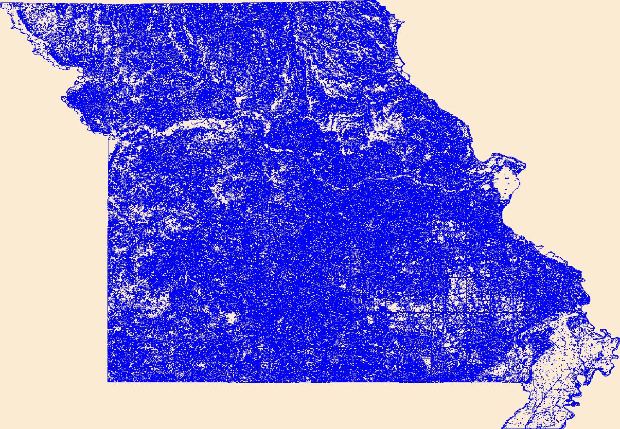
Geospatial data that is a derivative land cover product depicting woodland on topographic maps.

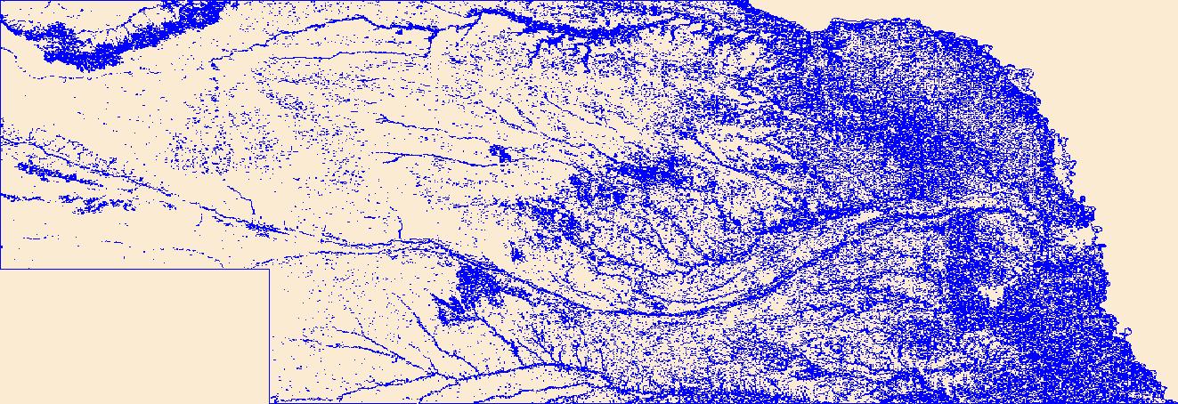
Geospatial data that is a derivative land cover product depicting woodland on topographic maps.

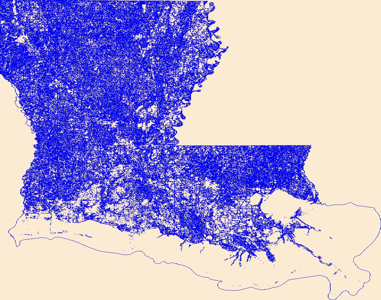
Geospatial data that is a derivative land cover product depicting woodland on topographic maps.

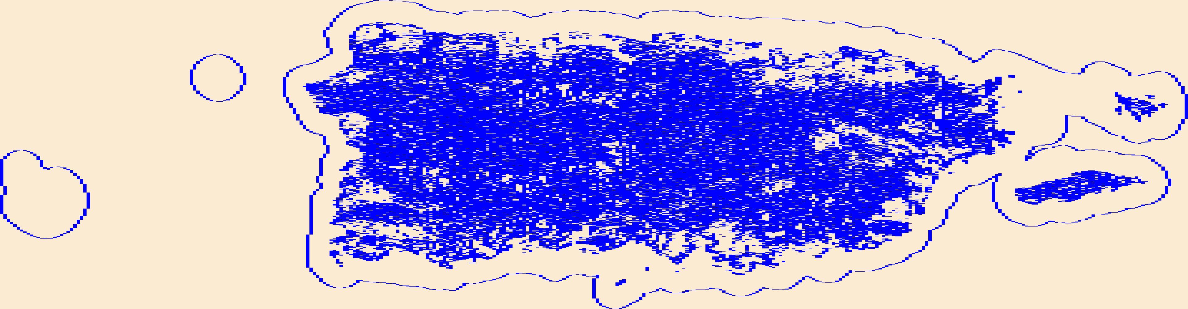
Geospatial data that is a derivative land cover product depicting woodland on topographic maps.

Geospatial data that is a derivative land cover product depicting woodland on topographic maps.

Geospatial data that is a derivative land cover product depicting woodland on topographic maps.

Geospatial data that is a derivative land cover product depicting woodland on topographic maps.

Geospatial data that is a derivative land cover product depicting woodland on topographic maps.

Geospatial data that is a derivative land cover product depicting woodland on topographic maps.

Geospatial data that is a derivative land cover product depicting woodland on topographic maps.

Geospatial data that is a derivative land cover product depicting woodland on topographic maps.
Geospatial data that is a derivative land cover product depicting woodland on topographic maps.
Geospatial data that is a derivative land cover product depicting woodland on topographic maps.
Geospatial data that is a derivative land cover product depicting woodland on topographic maps.
Geospatial data that is a derivative land cover product depicting woodland on topographic maps.
USGS_EROS_Ortho_SCALE service contains orthorectified digital aerial photographs and satellite imagery that are commonly referred to as orthoimagery. The imagery in this service is derived from high resolution images that combine the visual attributes of an aerial photograph with the spatial accuracy and geometric characteristics of a map. The resolution is primarily 1-meter, and the source imagery is acquired through partnerships with U.S. Department of Agriculture’s Farm Service Agency and other cooperating Federal, State, and local agencies. One meter resolution imagery means that each pixel in the orthoimage covers one meter on the earth’s surface. TNM_Large_Scale_Imagery service data is viewed at scales of...

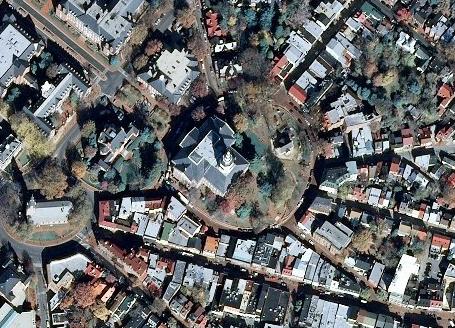
The USGS NAIP Plus service from The National Map consists of National Agriculture Imagery Program (NAIP) and high resolution orthoimagery (HRO) that combine the visual attributes of an aerial photograph with the spatial accuracy and reliability of a map. Digital orthoimage resolution may vary from 6 inches to 1 meter. In the former resolution, every pixel in an orthoimage covers a six inch square of the earth’s surface, while in the latter resolution, each pixel represents a one meter square. Many states contribute orthoimagery to The National Map, and the USGS also relies on a partnership with the U.S. Department of Agriculture's Farm Service Agency. The National Map download client allows free downloads of public...
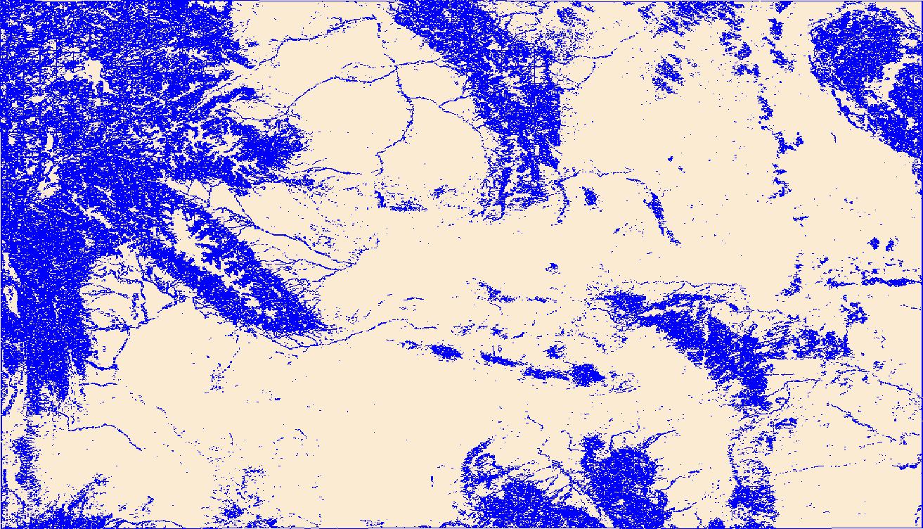
Geospatial data that is a derivative land cover product depicting woodland on topographic maps.
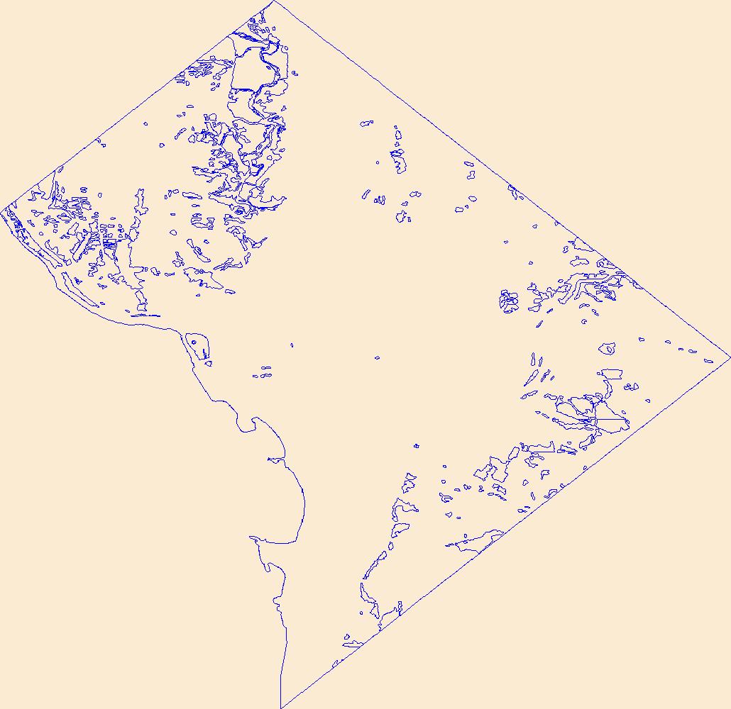
Geospatial data that is a derivative land cover product depicting woodland on topographic maps.
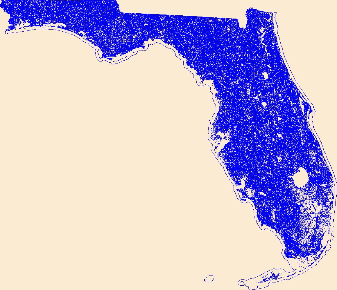
Geospatial data that is a derivative land cover product depicting woodland on topographic maps.
|

|
