Filters: Tags: maize (X)
20 results (24ms)|
Filters
Date Range
Extensions (Less) Types (Less) Contacts (Less)
Categories (Less) Tag Types Tag Schemes |
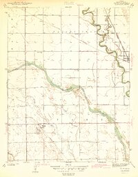
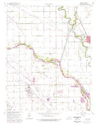
USGS Historical Quadrangle in GeoPDF.
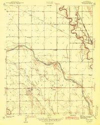
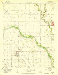
USGS Historical Quadrangle in GeoPDF.
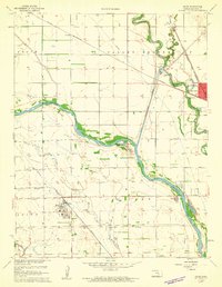
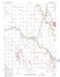
USGS Historical Quadrangle in GeoPDF.
Strontium (Sr)-isotope values on bone from deer mice pairs from 12 field sites in the Chaco Canyon area, New Mexico, were compared with isotope values of synthetic soil waters from the same fields. The data indicate that mice obtain Sr from near-surface sources and that soil samples collected at depths ranging from 25 to 95 cm contain Sr that is more accessible to the deep roots of maize; thus, synthetic soil solutions provide better data for the sourcing of archaeological maize. However, the Sr-isotope composition of mice may be more valuable in sourcing archaeological remains of animals such as rabbit, turkey, and deer. In a separate study, five Native American maize (Zea mays L. ssp. mays) accessions grown out...
This data set contains imagery from the National Agriculture Imagery Program (NAIP). The NAIP program is administered by USDA FSA and has been established to support two main FSA strategic goals centered on agricultural production. These are, increase stewardship of America's natural resources while enhancing the environment, and to ensure commodities are procured and distributed effectively and efficiently to increase food security. The NAIP program supports these goals by acquiring and providing ortho imagery that has been collected during the agricultural growing season in the U.S. The NAIP ortho imagery is tailored to meet FSA requirements and is a fundamental tool used to support FSA farm and conservation programs....
Yields of winter wheat, silage maize and grain maize in the main arable areas of the European Union (E.U.) were calculated with a simulation model, WOFOST, using historical weather data and average soil characteristics. The sensitivity of the model to individual weather variables was determined.Subsequent analyses were made using climate change scenarios with and without the direct effects of increased atmospheric CO 2. The impact of crop management in a changed climate was also assessed. The various climate change scenarios used appear to yield considerably different changes in yield, both for each location and for the E.U. as a whole.
Categories: Publication;
Types: Citation;
Tags: Effects,
European Union,
climate change,
corn,
crops,
Maize played a major role in Chaco's interaction with outlying communities in the southern Colorado Plateau. This paper seeks to determine where archaeological corn cobs brought to Chaco Canyon were grown. Strontium-isotope and trace-metal ratios of 180 soil-water and 18 surface-water sites in the Southern Colorado Plateau have revealed possible source areas for some of 37 archaeological corn cobs from Chaco Canyon and 10 archaeological corn cobs from Aztec Ruin, New Mexico. The most probable source areas for cobs that predate the middle-12th-century drought include several Upper Rio Chaco sites (not including Chaco Canyon). There are many potential source areas for cobs that date to the late A.D. 1100s and early...
Categories: Publication;
Types: Citation;
Tags: Archaeological cobs,
Four Corners area,
Maize,
Metals,
Southern Colorado Plateau,
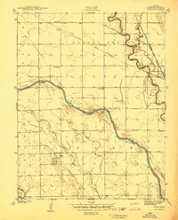
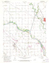
USGS Historical Quadrangle in GeoPDF.
USGS Historical Quadrangle in GeoPDF.
USGS Historical Quadrangle in GeoPDF.
USGS Historical Quadrangle in GeoPDF.
Strontium (Sr)-isotope values on bone from deer mice pairs from 12 field sites in the Chaco Canyon area, New Mexico, were compared with isotope values of synthetic soil waters from the same fields. The data indicate that mice obtain Sr from near-surface sources and that soil samples collected at depths ranging from 25 to 95 cm contain Sr that is more accessible to the deep roots of maize; thus, synthetic soil solutions provide better data for the sourcing of archaeological maize. However, the Sr-isotope composition of mice may be more valuable in sourcing archaeological remains of animals such as rabbit, turkey, and deer. In a separate study, five Native American maize (Zea mays L. ssp. mays) accessions grown out...
Accurate trace-metal and strontium-isotope analyses of archaeological corn cobs require that metal contaminants be removed prior to chemical analysis. Archaeological cobs are often coated with construction debris, dust, or soil which contains mineral particles. In addition, most archaeological cobs are partially or completely burned and the burned parts incorporate mineral debris in their hardened residual structures. Unburned cobs are weak ion exchangers and most metals within a cob are not firmly bound to cob organic matter; therefore, immersing cobs in acids and rinsing them in deionized water to remove mineral contaminants may result in the undesirable loss of metals, including strontium, from the cob. In this...
Categories: Publication;
Types: Citation;
Tags: Archaeological maize,
Maize,
Sr isotopes,
Trace metals
This data set contains imagery from the National Agriculture Imagery Program (NAIP). The NAIP program is administered by USDA FSA and has been established to support two main FSA strategic goals centered on agricultural production. These are, increase stewardship of America's natural resources while enhancing the environment, and to ensure commodities are procured and distributed effectively and efficiently to increase food security. The NAIP program supports these goals by acquiring and providing ortho imagery that has been collected during the agricultural growing season in the U.S. The NAIP ortho imagery is tailored to meet FSA requirements and is a fundamental tool used to support FSA farm and conservation programs....
This data set contains imagery from the National Agriculture Imagery Program (NAIP). The NAIP program is administered by USDA FSA and has been established to support two main FSA strategic goals centered on agricultural production. These are, increase stewardship of America's natural resources while enhancing the environment, and to ensure commodities are procured and distributed effectively and efficiently to increase food security. The NAIP program supports these goals by acquiring and providing ortho imagery that has been collected during the agricultural growing season in the U.S. The NAIP ortho imagery is tailored to meet FSA requirements and is a fundamental tool used to support FSA farm and conservation programs....
Strontium isotope sourcing has become a common and useful method for assigning sources to archaeological artifacts. In Chaco Canyon, an Ancestral Pueblo regional center in New Mexico, previous studies using these methods have suggested that significant portion of maize and wood originate in the Chuska Mountains region, 75 km to the East. In the present manuscript, these results were tested using both frequentist methods (to determine if geochemical sources can truly be differentiated) and Bayesian methods (to address uncertainty in geochemical source attribution). It was found that Chaco Canyon and the Chuska Mountain region are not easily distinguishable based on radiogenic strontium isotope values. The strontium...
Categories: Publication;
Types: Citation;
Tags: Agriculture,
Anthropology,
Archaeology,
Archaeometry,
Atoms,
This data set contains imagery from the National Agriculture Imagery Program (NAIP). The NAIP program is administered by USDA FSA and has been established to support two main FSA strategic goals centered on agricultural production. These are, increase stewardship of America's natural resources while enhancing the environment, and to ensure commodities are procured and distributed effectively and efficiently to increase food security. The NAIP program supports these goals by acquiring and providing ortho imagery that has been collected during the agricultural growing season in the U.S. The NAIP ortho imagery is tailored to meet FSA requirements and is a fundamental tool used to support FSA farm and conservation programs....
Maize played a major role in Chaco's interaction with outlying communities in the southern Colorado Plateau. This paper seeks to determine where archaeological corn cobs brought to Chaco Canyon were grown. Strontium-isotope and trace-metal ratios of 180 soil-water and 18 surface-water sites in the Southern Colorado Plateau have revealed possible source areas for some of 37 archaeological corn cobs from Chaco Canyon and 10 archaeological corn cobs from Aztec Ruin, New Mexico. The most probable source areas for cobs that predate the middle-12th-century drought include several Upper Rio Chaco sites (not including Chaco Canyon). There are many potential source areas for cobs that date to the late A.D. 1100s and early...
Categories: Publication;
Types: Citation;
Tags: Archaeological cobs,
Four Corners area,
Maize,
Metals,
Southern Colorado Plateau,
USGS Historical Quadrangle in GeoPDF.
Accurate trace-metal and strontium-isotope analyses of archaeological corn cobs require that metal contaminants be removed prior to chemical analysis. Archaeological cobs are often coated with construction debris, dust, or soil which contains mineral particles. In addition, most archaeological cobs are partially or completely burned and the burned parts incorporate mineral debris in their hardened residual structures. Unburned cobs are weak ion exchangers and most metals within a cob are not firmly bound to cob organic matter; therefore, immersing cobs in acids and rinsing them in deionized water to remove mineral contaminants may result in the undesirable loss of metals, including strontium, from the cob. In this...
Categories: Publication;
Types: Citation;
Tags: Archaeological maize,
Maize,
Sr isotopes,
Trace metals
|

|
