Filters: Tags: national (X) > Types: Citation (X)
37 results (72ms)|
Filters
Date Range
Extensions Contacts
Categories Tag Types
|
Conclusions:Report synthesizes scientific, planning, and policy-related aspects on the importance of land conservation in areas producing water for potable uses, including watersheds and aquifers. One critical finding indicated that if there is more forest cover in a watershed, water treatment costs are lower.Thresholds/Learnings:For every 10% increase in forest cover in the source area, treatment and chemical costs decreased by about 20%, up to about 60% forest cover. Treatment costs level off when forest cover is between 70-100%.
Categories: Publication;
Types: Citation;
Tags: Land use configuration,
Natural cover amount,
United States,
forest cover,
multiple,
In an earlier article the author has argued that the turbulent history of nuclear power in Britain and the USA stems from the technology itself, and has little to do with the very different institutional arrangements made for the new technology in the two countries. Nuclear plant has various features which make its planning extraordinarily difficult. Its long lead time, large unit size, capital intensity and dependence on complex infrastructure combine to ensure that mistakes are likely to be made in planning the technology and that what mistakes do occur are expensive. This article aims to expand on the earlier one in two ways; by looking at the apparent success of the French nuclear programme which seems to run...

This map layer shows elevation contour lines for Hawaii. The map layer was derived from the 100-meter resolution elevation data set which is published by the National Atlas of the United States, and is in the same Albers Equal-area Conic projection as that source data set. Contour intervals match the steps used in the National Atlas Color-Sliced Elevation data sets. Contours were adjusted so that they are in the proper relationship to National Atlas 1:1,000,000-scale lakes, reservoirs, and wide (double-line) streams.
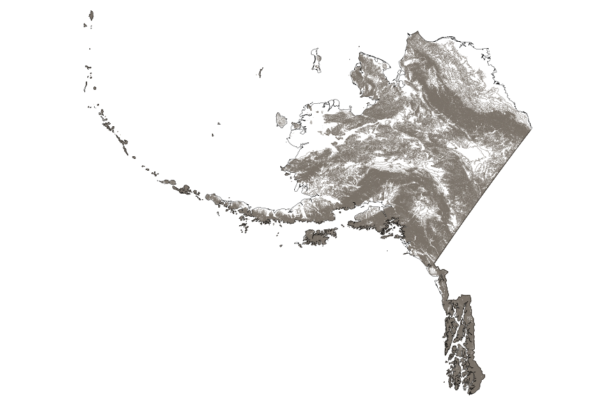
This map layer shows elevation contour lines for Alaska. The map layer was derived from the 100-meter resolution elevation data set which is published by the National Atlas of the United States, and is in the same Albers Equal-area Conic projection as that source data set. Contour intervals match the steps used in the National Atlas Color-Sliced Elevation data sets. Contours were adjusted so that they are in the proper relationship to National Atlas 1:1,000,000-scale lakes, reservoirs, and wide (double-line) streams.
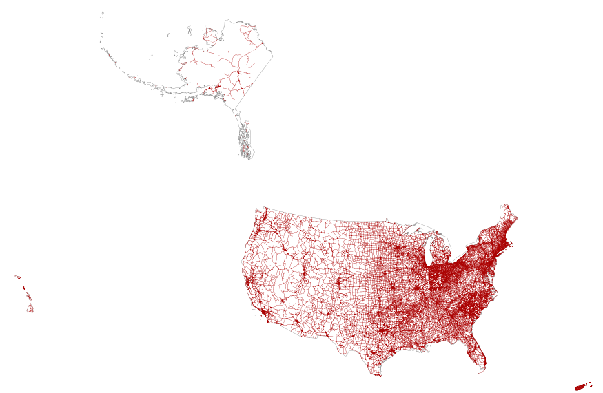
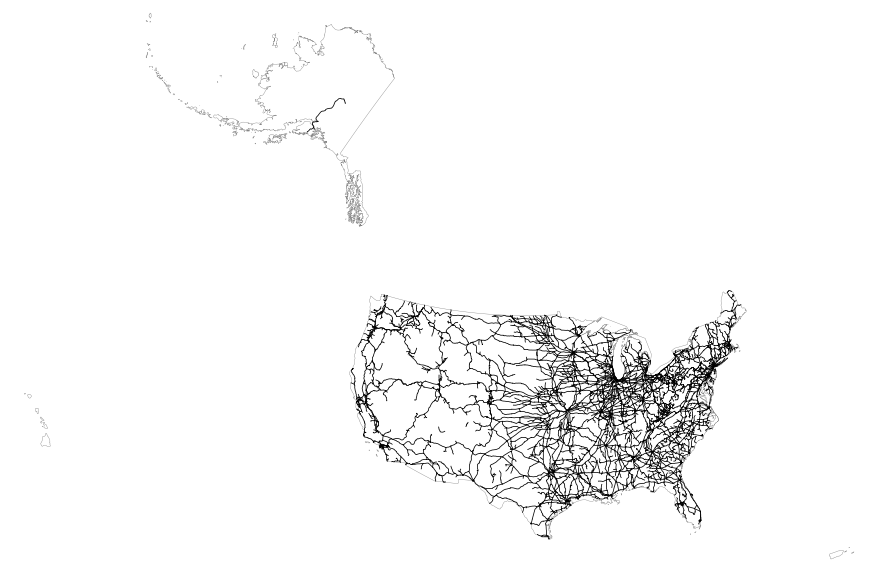
This map layer portrays the major roads in the United States, Puerto Rico, and the U.S. Virgin Islands. The file was produced by joining the individual State roads layers from the National Highway Planning Network (NHPN), Geographic Data Technology (GDT) Dynamap, and TIGER/Line files. This is a revised version of the July 2012 map layer.
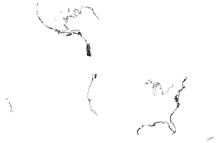
This map layer portrays the coastline of the United States, Puerto Rico, and the U.S. Virgin Islands. The United States shoreline of the Great Lakes is also included. This is a revised version of the July 2012 map layer.
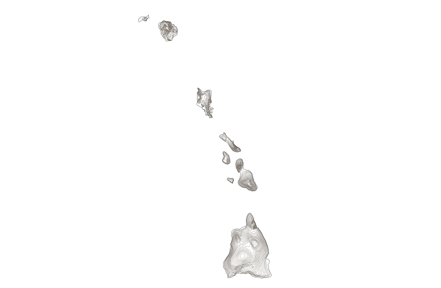
This map layer shows elevation contour lines for Hawaii. The map layer was derived from the 100-meter resolution elevation data set which is published by the National Atlas of the United States, and is in the same Albers Equal-area Conic projection as that source data set. Contour intervals match the steps used in the National Atlas Color-Sliced Elevation data sets. Contours were adjusted so that they are in the proper relationship to National Atlas 1:1,000,000-scale lakes, reservoirs, and wide (double-line) streams.
The major part of the Netherlands consists of a low-lying river delta which is very sensitive to hydrological conditions in the North-Western part of the European continent. The rivers Rhine, Meuse and Scheldt carry through this delta to the North Sea annually nearly 100 km3 of fresh water. This water originates from a drainage basin of about 185 000 km2, which is 6 times the country area. The present geography of the Netherlands has largely been shaped by this river inflow and by the sediments which are carried along. Interaction of these fluxes with North Sea hydrodynamics in a period of rising sea level has produced large lowlands, which in the past millennium have been reclaimed for agricultural, urban and industrial...
Categories: Publication;
Types: Citation;
Tags: Assessment,
National,
climate change,
instruments,
policy,

This map layer shows elevation contour lines for the conterminous United States. The map layer was derived from the 100-meter resolution elevation data set which is published by the National Atlas of the United States, and is in the same Albers Equal-area Conic projection as that source data set. Contour intervals match the steps used in the National Atlas Color-Sliced Elevation data sets. Contours were adjusted so that they are in the proper relationship to National Atlas 1:1,000,000-scale lakes, reservoirs, and wide (double-line) streams.
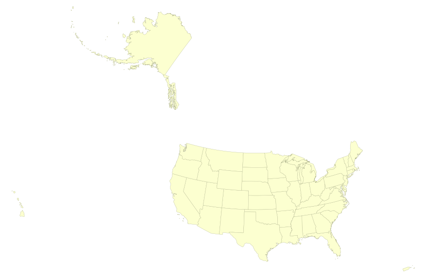
This map layer portrays the State boundaries of the United States, Puerto Rico, and the U.S. Virgin Islands. The map layer was created by extracting county polygon features from the CENSUS 2006 TIGER/Line files produced by the U.S. Census Bureau. These files were then merged into a single file and county boundaries within States were removed. This is a revised version of the July 2012 map layer.
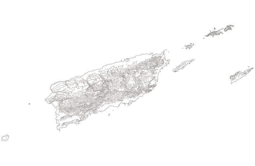
This map layer shows elevation contour lines for Puerto Rico and the U.S. Virgin Islands. The map layer was derived from the 100-meter resolution elevation data set which is published by the National Atlas of the United States, and is in the same Albers Equal-area Conic projection as that source data set. Contour intervals match the steps used in the National Atlas Color-Sliced Elevation data sets. Contours were adjusted so that they are in the proper relationship to National Atlas 1:1,000,000-scale lakes, reservoirs, and wide (double-line) streams.

This geodatabase contains streams, waterbodies and wetlands, streamflow gaging stations, and coastlines for the United States, Puerto Rico, and the U.S. Virgin Islands. The streams are incorporated into a geometric network. All feature classes are vertically integrated with each other and with 1:1,000,000-scale transportation and boundary data sets.
This paper reviews the current energy supply and consumption. Worldwide, there was an increase in the annual energy consumption of 5% between 1955 and 1973 and of 2.7% between 1973 and 1979, but there was a decrease of 0.2% from 1 979 to 1983. The role of oil grew from 31% to 47% of world energy consumption between 1955 and 1973 but dropped to 40.3o/0 in 1983. Despite an overall decline in energy consumption in the last few years, the consumption of electricity continues to grow. Nuclear energy has not completely recovered from the crisis of the second half of the 1970's. This is in part because of social acceptance factors and hostility to large plants. World energy problems will continue over the next 20 years....
Categories: Publication;
Types: Citation;
Tags: Evaluating,
Strategic planning,
energy,
environmental,
impact,
This map layer includes railroads in the conterminous United States and Alaska. This is a revised version of the July 2012 map layer.
This paper examines the attitudes and perceptions of 277 American Indians about hunting and fishing, risk, and future land use of the Idaho National Engineering and Environmental Laboratory (INEEL) in southeastern Idaho. Nearly half of our sample were Shoshone-Bannock tribal members living on the nearby Fort Hall Reservation, and half were American Indians from elsewhere in the western United States. We also interviewed an additional 44 White people. We examine the hypothesis that there are differences in environmental concerns and attitudes toward future land use at INEEL as a function of tribal affiliation (ethnicity), educational level, gender, and age. Such perceptions are important because of the existence...
Categories: Publication;
Types: Citation;
Tags: American Indians,
Attitudes,
Engineering,
Environmental,
Idaho,
The Geographic Names Information System (GNIS) is the Federal standard for geographic nomenclature. The U.S. Geological Survey developed the GNIS for the U.S. Board on Geographic Names, a Federal inter-agency body chartered by public law to maintain uniform feature name usage throughout the Government and to promulgate standard names to the public. The GNIS is the official repository of domestic geographic names data; the official vehicle for geographic names use by all departments of the Federal Government; and the source for applying geographic names to Federal electronic and printed products of all types. See http://geonames.usgs.gov for additional information.

This map layer includes railroads in the conterminous United States and Alaska. This is a revised version of the July 2012 map layer.
USGS Small-scale Dataset - 1:1,000,000-Scale County Boundaries of the United States 201403 Shapefile
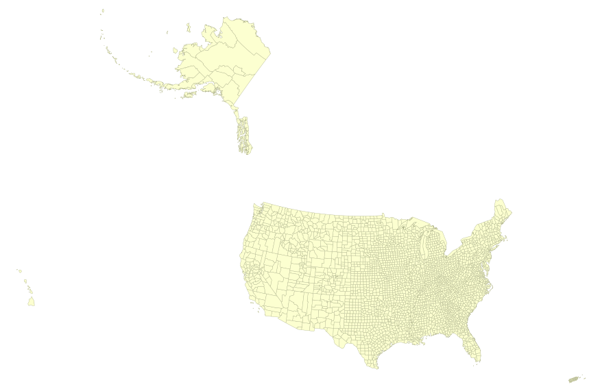
This map layer portrays the county boundaries of the United States, Puerto Rico, and the U.S. Virgin Islands, by showing the counties as areas. The map layer was created by extracting county polygon features from the CENSUS 2006 TIGER/Line files produced by the U.S. Census Bureau. These files were then merged into a single file. This is a revised version of the July 2012 map layer.

This map layer portrays the county boundaries of the United States, Puerto Rico, and the U.S. Virgin Islands, by showing the counties as areas. The map layer was created by extracting county polygon features from the CENSUS 2006 TIGER/Line files produced by the U.S. Census Bureau. These files were then merged into a single file. This is a revised version of the July 2012 map layer.
There is no shortage of U.S. energy policy studies, analyses and recommendations. Each new U.S. administration' and many state govemments seek to develop their own energy policy approach, and yet over time, it seems as if little progress actually is made toward achieving stated energy policy objectives. As an example, consider the following conclusions from a key report. Throughout this decade, oil will remain the single most important commercial fuel, while such other primary and secondary energy sources as natural gas, coal, nuclear power, electricity, and energy from renewable sources must be relied upon increasingly.
Categories: Publication;
Types: Citation;
Tags: International,
U.S.,
economic,
energy,
interdependency,
|

|
