Filters: Tags: national (X)
129 results (31ms)|
Filters
Date Range
Extensions
Types
Contacts
Categories Tag Types Tag Schemes
|
The National Hydrography Dataset (NHD) is a feature-based database that interconnects and uniquely identifies the stream segments or reaches that make up the nation's surface water drainage system. NHD data was originally developed at 1:100,000-scale and exists at that scale for the whole country. This high-resolution NHD, generally developed at 1:24,000/1:12,000 scale, adds detail to the original 1:100,000-scale NHD. (Data for Alaska, Puerto Rico and the Virgin Islands was developed at high-resolution, not 1:100,000 scale.) Local resolution NHD is being developed where partners and data exist. The NHD contains reach codes for networked features, flow direction, names, and centerline representations for areal water...

The Geographic Names Information System (GNIS) is the Federal standard for geographic nomenclature. The U.S. Geological Survey developed the GNIS for the U.S. Board on Geographic Names, a Federal inter-agency body chartered by public law to maintain uniform feature name usage throughout the Government and to promulgate standard names to the public. The GNIS is the official repository of domestic geographic names data; the official vehicle for geographic names use by all departments of the Federal Government; and the source for applying geographic names to Federal electronic and printed products of all types.

The Geographic Names Information System (GNIS) is the Federal standard for geographic nomenclature. The U.S. Geological Survey developed the GNIS for the U.S. Board on Geographic Names, a Federal inter-agency body chartered by public law to maintain uniform feature name usage throughout the Government and to promulgate standard names to the public. The GNIS is the official repository of domestic geographic names data; the official vehicle for geographic names use by all departments of the Federal Government; and the source for applying geographic names to Federal electronic and printed products of all types.

The Geographic Names Information System (GNIS) is the Federal standard for geographic nomenclature. The U.S. Geological Survey developed the GNIS for the U.S. Board on Geographic Names, a Federal inter-agency body chartered by public law to maintain uniform feature name usage throughout the Government and to promulgate standard names to the public. The GNIS is the official repository of domestic geographic names data; the official vehicle for geographic names use by all departments of the Federal Government; and the source for applying geographic names to Federal electronic and printed products of all types.
This map service contains GIS data in Web Mercator from the EPA Office of Water for the National Hydrography Dataset (NHD) integrated with reach-related information from the USEPA Reach File Version 3.0-Alpha release (RF3-Alpha). This service also includes hydrographic landmark features in NHD. It is available as a WMS, KML, and REST service as well as the native MapServer service.
Most countries now wish to reduce their dependence on fossil fuels. In this paper, Professors Häfele and Manne discuss transition away from the current situation where virtually all demands for primary energy are met by fossil fuels. Assuming that this transition is to be based upon nuclear fission, they examine the interplay between natural resource scarcities, economics costs and the assessment of alternative technologies for the production of synthetic fuels.
Categories: Publication;
Types: Citation;
Tags: Evaluating,
Strategic planning,
energy,
environmental,
impact,
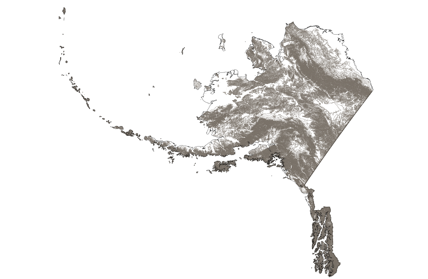
This map layer shows elevation contour lines for Alaska. The map layer was derived from the 100-meter resolution elevation data set which is published by the National Atlas of the United States, and is in the same Albers Equal-area Conic projection as that source data set. Contour intervals match the steps used in the National Atlas Color-Sliced Elevation data sets. Contours were adjusted so that they are in the proper relationship to National Atlas 1:1,000,000-scale lakes, reservoirs, and wide (double-line) streams.

This map shows the Soil Survey Geographic (SSURGO) by the United States Department of Agriculture’s Natural Resources Conservation Service. It also shows data that was developed by the National Cooperative Soil Survey and supersedes the State Soil Geographic (STATSGO) dataset published in 1994. SSURGO digitizing duplicates the original soil survey maps. This level of mapping is designed for use by landowners, townships, and county natural resource planning and management. The user should be knowledgeable of soils data and their characteristics. The smallest scale map shows the Global Soil Regions map by the United States Department of Agriculture’s Natural Resources Conservation Service. For more information on...
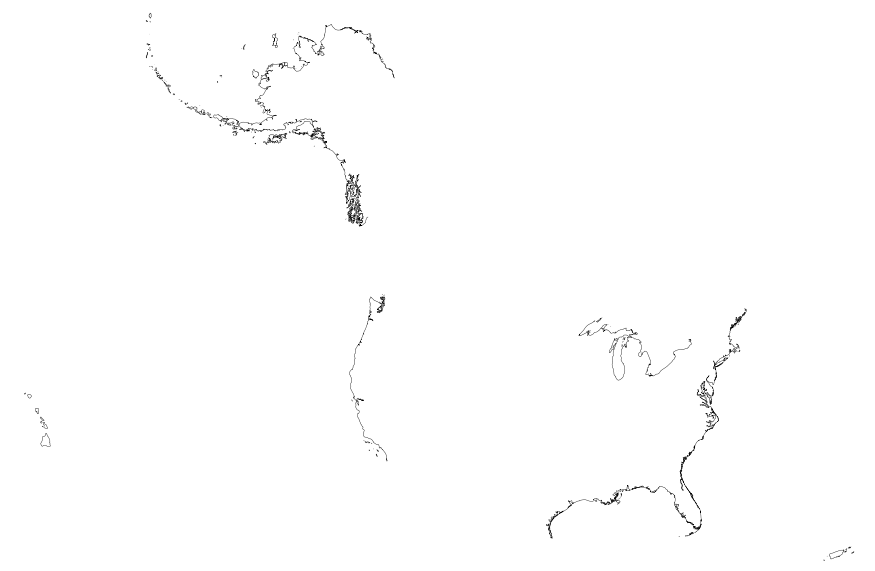
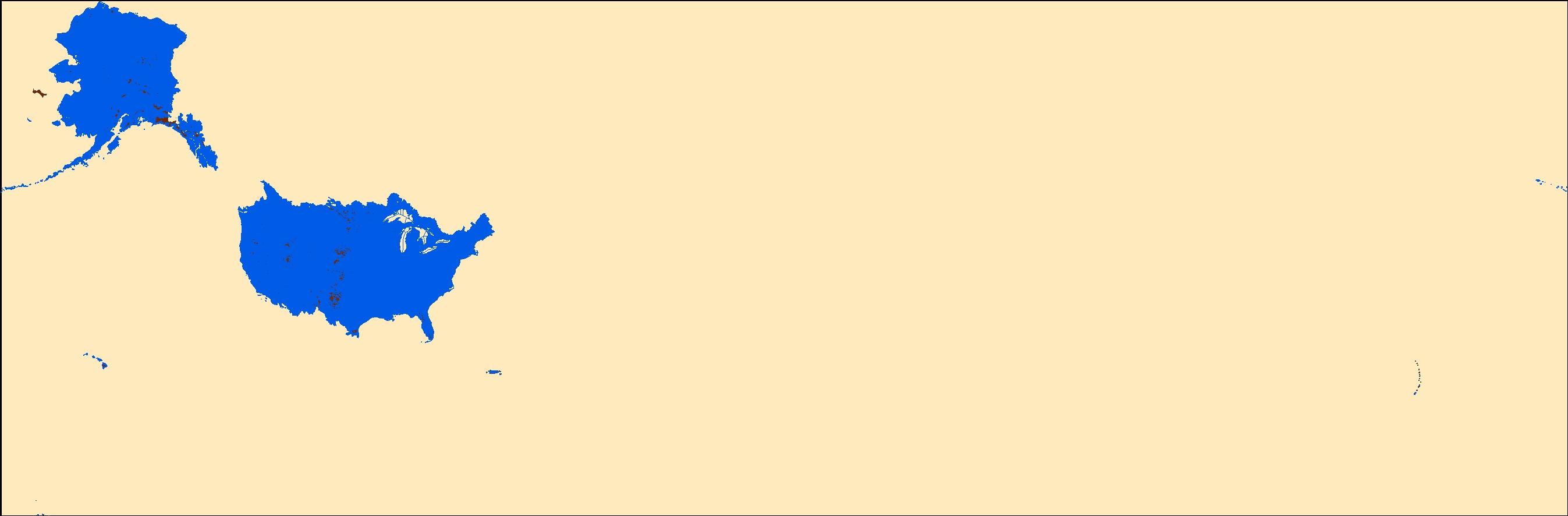
This map layer includes Global Map data showing the coastline of the United States, Puerto Rico, and the U.S. Virgin Islands. The United States shoreline of the Great Lakes is also included. The data are a modified version of the National Atlas of the United States 1:1,000,000-Scale Coastline of the United States.

This map layer portrays the coastline of the United States, Puerto Rico, and the U.S. Virgin Islands. The United States shoreline of the Great Lakes is also included. This is a revised version of the July 2012 map layer.
standard deviations of PRISM climate data for Precipitation and Temperature These data are provided by Bureau of Land Management (BLM) "as is" and may contain errors or omissions. The User assumes the entire risk associated with its use of these data and bears all responsibility in determining whether these data are fit for the User's intended use. These data may not have the accuracy, resolution, completeness, timeliness, or other characteristics appropriate for applications that potential users of the data may contemplate. The User is encouraged to carefully consider the content of the metadata file associated with these data. The BLM should be cited as the data source in any products derived from these data.

The Geographic Names Information System (GNIS) is the Federal standard for geographic nomenclature. The U.S. Geological Survey developed the GNIS for the U.S. Board on Geographic Names, a Federal inter-agency body chartered by public law to maintain uniform feature name usage throughout the Government and to promulgate standard names to the public. The GNIS is the official repository of domestic geographic names data; the official vehicle for geographic names use by all departments of the Federal Government; and the source for applying geographic names to Federal electronic and printed products of all types.

The Geographic Names Information System (GNIS) is the Federal standard for geographic nomenclature. The U.S. Geological Survey developed the GNIS for the U.S. Board on Geographic Names, a Federal inter-agency body chartered by public law to maintain uniform feature name usage throughout the Government and to promulgate standard names to the public. The GNIS is the official repository of domestic geographic names data; the official vehicle for geographic names use by all departments of the Federal Government; and the source for applying geographic names to Federal electronic and printed products of all types.

Geospatial data is comprised of government boundaries.
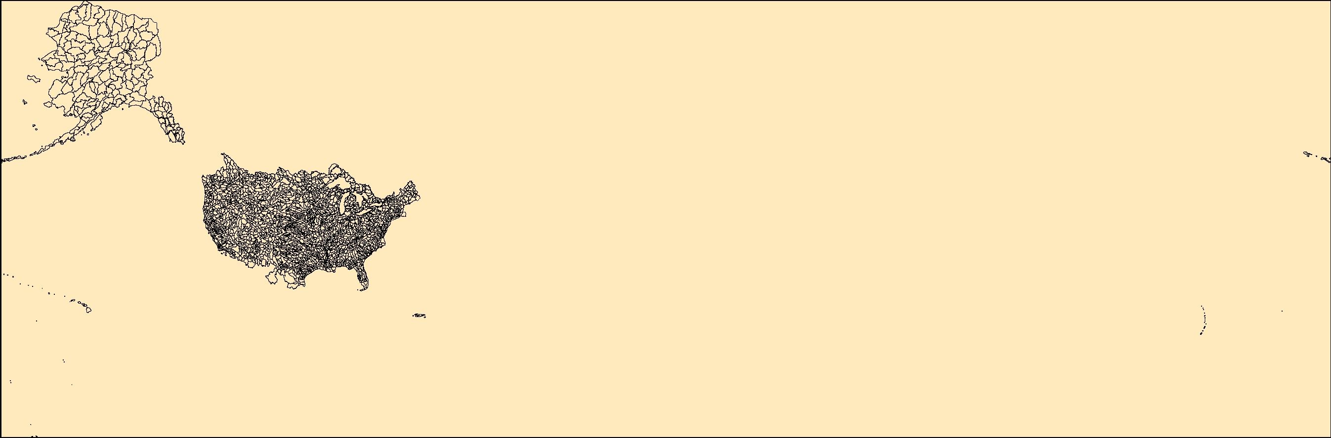
The Watershed Boundary Dataset (WBD) is a comprehensive aggregated collection of hydrologic unit data consistent with the national criteria for delineation and resolution. It defines the areal extent of surface water drainage to a point except in coastal or lake front areas where there could be multiple outlets as stated by the "Federal Standards and Procedures for the National Watershed Boundary Dataset (WBD)" "Standard" (https://pubs.usgs.gov/tm/11/a3/). Watershed boundaries are determined solely upon science-based hydrologic principles, not favoring any administrative boundaries or special projects, nor particular program or agency. This dataset represents the hydrologic unit boundaries to the 12-digit (6th level)...
In 1998, the Florida Fish and Wildlife Conservation Commission's (FWC) Fisheries Independent Monitoring (FIM) program began a long-term monitoring effort of key reef fish populations in the Florida Keys National Marine Sanctuary. This effort was aimed at evaluating the relative abundance, size structure, and habitat utilization of specific reef fish species that are targeted by commercial and recreational fisheries.; Smith, S.G., et al. 2011, Multispecies survey design for assessing reef-fish stocks, spatially explicit management performance, and ecosystem condition. Fisheries Research 109(2011)25-41; Brandt, M.E., et. al. 2009, A Cooperative Multi-agency Reef Fish Monitoring Protocol for the Florida Keys Coral...
Categories: Data;
Types: NetCDF OPeNDAP Service;
Tags: Florida Keys National Marine Sanctuaries Reef Fish Monitoring,
array,
array-data,
basis,
basisOfRecord,
This archive contains fine spatial resolution translations of climate projections over the contiguous United States (U.S.) developed using two downscaling techniques (monthly BCSD Figure 1, and daily BCCA Figure 2), CMIP3 hydrologic projections over the western U.S. (roughly the western U.S. Figure 3), and CMIP5 hydrology projections over the contiguous U.S. corresponding to monthly BCSD climate projections. Archive content is based on global climate projections from the World Climate Research Programme's (WCRP's) Coupled Model Intercomparison Project phase 3 (CMIP3) multi-model dataset referenced in the Intergovernmental Panel on Climate Change Fourth Assessment Report, and the phase 5 (CMIP5) multi-model dataset...
Types: Map Service,
OGC WFS Layer,
OGC WMS Layer,
OGC WMS Service;
Tags: English,
GIS,
US,
climate,
ecoregion,
This map shows the Soil Survey Geographic (SSURGO) by the United States Department of Agriculture's Natural Resources Conservation Service. It also shows data that was developed by the National Cooperative Soil Survey and supersedes the State Soil Geographic (STATSGO) dataset published in 1994. SSURGO digitizing duplicates the original soil survey maps. This level of mapping is designed for use by landowners, townships, and county natural resource planning and management. The user should be knowledgeable of soils data and their characteristics. The smallest scale map shows the Global Soil Regions map by the United States Department of Agriculture’s Natural Resources Conservation Service.
Categories: Data;
Types: ArcGIS REST Map Service,
Map Service;
Tags: Federal,
NRCS,
Natural Resources Conservation Service,
Soils,
US Department of Agriculture,
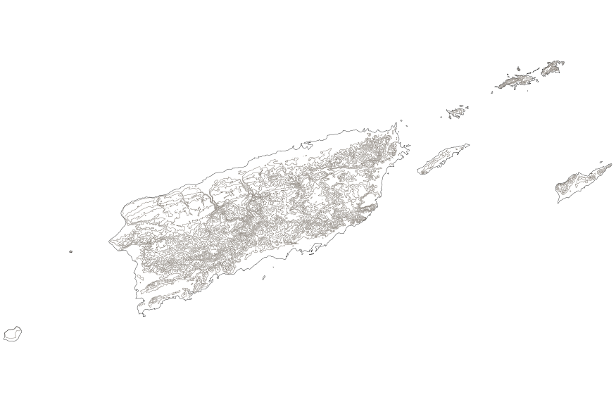
This map layer shows elevation contour lines for Puerto Rico and the U.S. Virgin Islands. The map layer was derived from the 100-meter resolution elevation data set which is published by the National Atlas of the United States, and is in the same Albers Equal-area Conic projection as that source data set. Contour intervals match the steps used in the National Atlas Color-Sliced Elevation data sets. Contours were adjusted so that they are in the proper relationship to National Atlas 1:1,000,000-scale lakes, reservoirs, and wide (double-line) streams.
|

|
