Filters
Date Range
Extensions
Types
Contacts
Tag Types
Tag Schemes
|

Geospatial data is comprised of government boundaries.
Tags: Appling,
Atkinson,
Bacon,
Baker,
Baldwin, All tags...
Banks,
Barrow,
Bartow,
Ben Hill,
Berrien,
Bibb,
Bleckley,
Boundaries,
Brantley,
Brooks,
Bryan,
Bulloch,
Burke,
Butts,
Calhoun,
Camden,
Candler,
Carroll,
Catoosa,
Charlton,
Chatham,
Chattahoochee,
Chattooga,
Cherokee,
Clarke,
Clay,
Clayton,
Clinch,
Cobb,
Coffee,
Colquitt,
Columbia,
Cook,
County or Equivalent,
Coweta,
Crawford,
Crisp,
Dade,
Dawson,
DeKalb,
Decatur,
Dodge,
Dooly,
Dougherty,
Douglas,
Downloadable Data,
Early,
Echols,
Effingham,
Elbert,
Emanuel,
Esri Shapefile nan,
Evans,
Fannin,
Fayette,
Floyd,
Forsyth,
Franklin,
Fulton,
GA,
Georgia,
Gilmer,
Glascock,
Glynn,
Gordon,
Grady,
Greene,
Gwinnett,
Habersham,
Hall,
Hancock,
Haralson,
Harris,
Hart,
Heard,
Henry,
Houston,
Incorporated Place,
Irwin,
Jackson,
Jasper,
Jeff Davis,
Jefferson,
Jenkins,
Johnson,
Jones,
Jurisdictional,
Lamar,
Lanier,
Laurens,
Lee,
Liberty,
Lincoln,
Long,
Lowndes,
Lumpkin,
Macon,
Madison,
Marion,
McDuffie,
McIntosh,
Meriwether,
Miller,
Minor Civil Division,
Mitchell,
Monroe,
Montgomery,
Morgan,
Murray,
Muscogee,
National Boundary Dataset (NBD),
National Boundary Dataset (NBD),
Native American Area,
Newton,
Oconee,
Oglethorpe,
PLSS First Division,
PLSS Special Survey,
PLSS Township,
Paulding,
Peach,
Pickens,
Pierce,
Pike,
Polk,
Public Land Survey System,
Pulaski,
Putnam,
Quitman,
Rabun,
Randolph,
Reserve,
Richmond,
Rockdale,
Schley,
Screven,
Seminole,
Shapefile,
Spalding,
State,
State,
State or Territory,
Stephens,
Stewart,
Sumter,
Talbot,
Taliaferro,
Tattnall,
Taylor,
Telfair,
Terrell,
Thomas,
Tift,
Toombs,
Towns,
Treutlen,
Troup,
Turner,
Twiggs,
U.S. National Grid,
US,
Unincorporated Place,
Union,
United States,
Upson,
Walker,
Walton,
Ware,
Warren,
Washington,
Wayne,
Webster,
Wheeler,
White,
Whitfield,
Wilcox,
Wilkes,
Wilkinson,
Worth,
boundaries,
boundary,
cadastral surveys,
geographic names,
land ownership,
land use maps,
legal land descriptions,
political and administrative boundaries,
zoning maps, Fewer tags
As one of the cornerstones of the U.S. Geological Survey's (USGS) National Geospatial Program, The National Map is a collaborative effort among the USGS and other Federal, State, and local partners to improve and deliver topographic information for the Nation. It has many uses ranging from recreation to scientific analysis to emergency response. The National Map is easily accessible for display on the Web, as products and services, and as downloadable data. The geographic information available from The National Map includes orthoimagery (aerial photographs), elevation, geographic names, hydrography, boundaries, transportation, structures, and land cover.
Tags: 1 arc-second DEM,
1 meter DEM,
1-degree DEM,
1/3 arc-second DEM,
1/9 arc-second DEM, All tags...
10,000 meter DEM,
15-minute DEM,
2 arc-second DEM,
3DEP,
Administrative watershed units,
Aerial Compliance,
Aerial Photography,
Agricultural land,
Airport Complex,
Airport Point,
Airport Runway,
Airports,
Airstrips,
Area of Complex Channels,
Area to be submerged,
Bare Earth,
Barren land,
Basin,
Bay/Inlet,
Boundaries,
Boundary,
Bridge,
Canal/Ditch,
Cartography,
Coastline,
College / University,
Compliance,
Connector,
County or Equivalent,
DEM,
Dam/Weir,
Digital Elevation Model,
Digital Mapping,
Digital Ortho rectified Image,
Digital Terrain Model,
Drainage areas for surface water,
Elevation,
Elevation Theme,
Estuary,
Feature class,
Feature coordinates,
Feature county,
Feature description,
Feature designation,
Feature history,
Feature identification,
Feature name,
Feature state,
Fire Station/ EMS Station,
Flow direction network,
Flume,
ForeShore,
Forest land,
GIS,
Gaging Station,
Gate,
Geodata,
Geographic feature,
Geographic name,
Geographic names,
Geographical feature,
Geographical name,
Georeferenced,
Governmental Units, and Administrative and Statistical Boundaries Theme,
Grid,
HU10,
HU12,
HU14,
HU16,
HU2,
HU4,
HU6,
HU8,
HUC,
Hazard Zone,
High Resolution,
High Resolution Orthoimagery,
Hospital/Medical Center,
Hydro-Flattened,
Hydrographic,
Hydrography,
Hydrologic Unit Code,
Hydrologic Units,
IFSAR,
Ice mass,
Image processing,
Impervious,
Imperviousness,
Incorporated Place,
Interferometric Synthetic Aperture Radar,
Inundation Area,
JPEG 2000,
Juction,
Jurisdictional,
LAS,
LIDAR,
LIght Detection And Ranging,
Land Use-Land Cover Theme,
Land cover,
Law Enforcement,
Levee,
Light Detection and Ranging,
Line,
Lock Chamber,
Mapping,
Marsh,
Minor Civil Division,
NAIP,
NED,
NGDA,
National Elevation Dataset,
National Geospatial Data Asset,
Native American Area,
NavAid,
Nonearthen Shore,
Not Classified,
Official feature name,
Ortho Rectification,
Orthoimage,
PLSS First Division,
PLSS Special Survey,
PLSS Township,
Percent Developed Imperviousness,
Place name,
Playa,
Point,
Point Cloud,
PointEvent,
Pond,
Prison/ Correctional Facility,
Public Land Survey System,
Quarter Quadrangle,
Railways,
Range land,
Rapids,
Raster,
Reach,
Reach code,
Real Property Theme,
Reef,
Region,
Reserve,
Reservoir,
Roads,
Rock,
School,
School:Elementary,
School:High School,
School:Middle School,
Sea/Ocean,
Sink/Rise,
Sounding Datum Line,
Special Use Zone,
Special Use Zone Limit,
Spillway,
State Capitol,
State or Territory,
Stream/River,
Sub-basin,
Sub-region,
Subbasin,
Submerged Stream,
Subregion,
Subwatershed,
Survey,
Swamp,
Technical School,
Terrain Elevation,
Topographic,
Topographic Surface,
Topography,
Trade School,
TrailFeature,
Trails,
Transportation,
Transportation Theme,
Tunnel,
U.S. Geological Survey,
U.S. Geological Survey (USGS),
U.S. National Grid,
USGS,
Underground Conduit,
Unincorporated Place,
Urban and built-up land,
Variant name,
Vector,
WBD,
Wall,
Wash,
Water,
Water Intake Outflow,
Water – Inland Theme,
Waterfall,
Watershed,
Watershed Boundaries,
Watershed Boundary Dataset,
Waterway,
Well,
Wetland,
Woodland,
a-16,
altitude,
annotations,
artificial path,
biota,
boundaries,
boundaries,
boundary,
cadastral surveys,
contour,
dams,
dems,
digital spatial data,
drainage systems and characteristics,
ecology,
economy,
elevation,
elevation,
environment,
flora,
geographic names,
grid,
habitat,
hydrography,
image map,
imagery,
imageryBaseMapsEarthCover,
inlandWaters,
lakes,
land cover,
land ownership,
land use maps,
legal land descriptions,
location,
natural color orthophoto,
orthoimage,
orthophoto,
political and administrative boundaries,
polygon grid,
rectified image,
rivers,
slope,
society,
stream,
structure,
transportation, Fewer tags
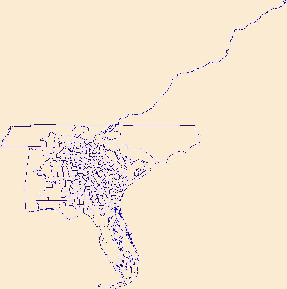
Geospatial data is comprised of government boundaries.
Types: Citation;
Tags: Adams,
Antelope,
Arthur,
Banner,
Blaine, All tags...
Boone,
Boundaries,
Box Butte,
Boyd,
Brown,
Buffalo,
Burt,
Butler,
Cass,
Cedar,
Chase,
Cherry,
Cheyenne,
Clay,
Colfax,
County or Equivalent,
Cuming,
Custer,
Dakota,
Dawes,
Dawson,
Deuel,
Dixon,
Dodge,
Douglas,
Downloadable Data,
Dundy,
Esri File GeoDatabase 10,
FileGDB,
Fillmore,
Franklin,
Frontier,
Furnas,
Gage,
Garden,
Garfield,
Gosper,
Grant,
Greeley,
Hall,
Hamilton,
Harlan,
Hayes,
Hitchcock,
Holt,
Hooker,
Howard,
Incorporated Place,
Jefferson,
Johnson,
Jurisdictional,
Kearney,
Keith,
Keya Paha,
Kimball,
Knox,
Lancaster,
Lincoln,
Logan,
Loup,
Madison,
McPherson,
Merrick,
Minor Civil Division,
Morrill,
NE,
Nance,
National Boundary Dataset (NBD),
National Boundary Dataset (NBD),
Native American Area,
Nebraska,
Nemaha,
Nuckolls,
Otoe,
PLSS First Division,
PLSS Special Survey,
PLSS Township,
Pawnee,
Perkins,
Phelps,
Pierce,
Platte,
Polk,
Public Land Survey System,
Red Willow,
Reserve,
Richardson,
Rock,
Saline,
Sarpy,
Saunders,
Scotts Bluff,
Seward,
Sheridan,
Sherman,
Sioux,
Stanton,
State,
State,
State or Territory,
Thayer,
Thomas,
Thurston,
U.S. National Grid,
US,
Unincorporated Place,
United States,
Valley,
Washington,
Wayne,
Webster,
Wheeler,
York,
boundaries,
boundary,
cadastral surveys,
geographic names,
land ownership,
land use maps,
legal land descriptions,
political and administrative boundaries,
zoning maps, Fewer tags
Geospatial data is comprised of government boundaries.
Types: Citation;
Tags: Baker,
Benton,
Boundaries,
Clackamas,
Clatsop, All tags...
Columbia,
Coos,
County or Equivalent,
Crook,
Curry,
Deschutes,
Douglas,
Downloadable Data,
Esri File GeoDatabase 10,
FileGDB,
Gilliam,
Grant,
Harney,
Hood River,
Incorporated Place,
Jackson,
Jefferson,
Josephine,
Jurisdictional,
Klamath,
Lake,
Lane,
Lincoln,
Linn,
Malheur,
Marion,
Minor Civil Division,
Morrow,
Multnomah,
National Boundary Dataset (NBD),
National Boundary Dataset (NBD),
Native American Area,
OR,
Oregon,
PLSS First Division,
PLSS Special Survey,
PLSS Township,
Polk,
Public Land Survey System,
Reserve,
Sherman,
State,
State,
State or Territory,
Tillamook,
U.S. National Grid,
US,
Umatilla,
Unincorporated Place,
Union,
United States,
Wallowa,
Wasco,
Washington,
Wheeler,
Yamhill,
boundaries,
boundary,
cadastral surveys,
geographic names,
land ownership,
land use maps,
legal land descriptions,
political and administrative boundaries,
zoning maps, Fewer tags
Geospatial data is comprised of government boundaries.
Tags: Adair,
Andrew,
Atchison,
Audrain,
Barry, All tags...
Barton,
Bates,
Benton,
Bollinger,
Boone,
Boundaries,
Buchanan,
Butler,
Caldwell,
Callaway,
Camden,
Cape Girardeau,
Carroll,
Carter,
Cass,
Cedar,
Chariton,
Christian,
Clark,
Clay,
Clinton,
Cole,
Cooper,
County or Equivalent,
Crawford,
Dade,
Dallas,
Daviess,
DeKalb,
Dent,
Douglas,
Downloadable Data,
Dunklin,
Franklin,
Gasconade,
Gentry,
GeoPackage,
Greene,
Grundy,
Harrison,
Henry,
Hickory,
Holt,
Howard,
Howell,
Incorporated Place,
Iron,
Jackson,
Jasper,
Jefferson,
Johnson,
Jurisdictional,
Knox,
Laclede,
Lafayette,
Lawrence,
Lewis,
Lincoln,
Linn,
Livingston,
MO,
Macon,
Madison,
Maries,
Marion,
McDonald,
Mercer,
Miller,
Minor Civil Division,
Mississippi,
Missouri,
Moniteau,
Monroe,
Montgomery,
Morgan,
National Boundary Dataset (NBD),
National Boundary Dataset (NBD),
Native American Area,
New Madrid,
Newton,
Nodaway,
Open Geospatial Consortium GeoPackage 1.2,
Oregon,
Osage,
Ozark,
PLSS First Division,
PLSS Special Survey,
PLSS Township,
Pemiscot,
Perry,
Pettis,
Phelps,
Pike,
Platte,
Polk,
Public Land Survey System,
Pulaski,
Putnam,
Ralls,
Randolph,
Ray,
Reserve,
Reynolds,
Ripley,
Saline,
Schuyler,
Scotland,
Scott,
Shannon,
Shelby,
St. Charles,
St. Clair,
St. Francois,
St. Louis,
State,
State,
State or Territory,
Ste. Genevieve,
Stoddard,
Stone,
Sullivan,
Taney,
Texas,
U.S. National Grid,
US,
Unincorporated Place,
United States,
Vernon,
Warren,
Washington,
Wayne,
Webster,
Worth,
Wright,
boundaries,
boundary,
cadastral surveys,
geographic names,
land ownership,
land use maps,
legal land descriptions,
political and administrative boundaries,
zoning maps, Fewer tags
Geospatial data is comprised of government boundaries.
Tags: Albany,
Big Horn,
Boundaries,
Campbell,
Carbon, All tags...
Converse,
County or Equivalent,
Crook,
Downloadable Data,
Esri Shapefile nan,
Fremont,
Goshen,
Hot Springs,
Incorporated Place,
Johnson,
Jurisdictional,
Laramie,
Lincoln,
Minor Civil Division,
National Boundary Dataset (NBD),
National Boundary Dataset (NBD),
Native American Area,
Natrona,
Niobrara,
PLSS First Division,
PLSS Special Survey,
PLSS Township,
Park,
Platte,
Public Land Survey System,
Reserve,
Shapefile,
Sheridan,
State,
State,
State or Territory,
Sublette,
Sweetwater,
Teton,
U.S. National Grid,
US,
Uinta,
Unincorporated Place,
United States,
WY,
Washakie,
Weston,
Wyoming,
boundaries,
boundary,
cadastral surveys,
geographic names,
land ownership,
land use maps,
legal land descriptions,
political and administrative boundaries,
zoning maps, Fewer tags
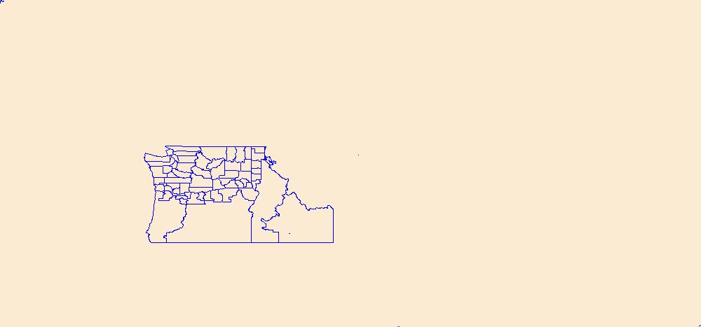
Geospatial data is comprised of government boundaries.
Tags: Adams,
Asotin,
Benton,
Boundaries,
Chelan, All tags...
Clallam,
Clark,
Columbia,
County or Equivalent,
Cowlitz,
Douglas,
Downloadable Data,
Ferry,
Franklin,
Garfield,
GeoPackage,
Grant,
Grays Harbor,
Incorporated Place,
Island,
Jefferson,
Jurisdictional,
King,
Kitsap,
Kittitas,
Klickitat,
Lewis,
Lincoln,
Mason,
Minor Civil Division,
National Boundary Dataset (NBD),
National Boundary Dataset (NBD),
Native American Area,
Okanogan,
Open Geospatial Consortium GeoPackage 1.2,
PLSS First Division,
PLSS Special Survey,
PLSS Township,
Pacific,
Pend Oreille,
Pierce,
Public Land Survey System,
Reserve,
San Juan,
Skagit,
Skamania,
Snohomish,
Spokane,
State,
State,
State or Territory,
Stevens,
Thurston,
U.S. National Grid,
US,
Unincorporated Place,
United States,
WA,
Wahkiakum,
Walla Walla,
Washington,
Whatcom,
Whitman,
Yakima,
boundaries,
boundary,
cadastral surveys,
geographic names,
land ownership,
land use maps,
legal land descriptions,
political and administrative boundaries,
zoning maps, Fewer tags

Geospatial data is comprised of government boundaries.
Tags: Adams,
Asotin,
Benton,
Boundaries,
Chelan, All tags...
Clallam,
Clark,
Columbia,
County or Equivalent,
Cowlitz,
Douglas,
Downloadable Data,
Esri Shapefile nan,
Ferry,
Franklin,
Garfield,
Grant,
Grays Harbor,
Incorporated Place,
Island,
Jefferson,
Jurisdictional,
King,
Kitsap,
Kittitas,
Klickitat,
Lewis,
Lincoln,
Mason,
Minor Civil Division,
National Boundary Dataset (NBD),
National Boundary Dataset (NBD),
Native American Area,
Okanogan,
PLSS First Division,
PLSS Special Survey,
PLSS Township,
Pacific,
Pend Oreille,
Pierce,
Public Land Survey System,
Reserve,
San Juan,
Shapefile,
Skagit,
Skamania,
Snohomish,
Spokane,
State,
State,
State or Territory,
Stevens,
Thurston,
U.S. National Grid,
US,
Unincorporated Place,
United States,
WA,
Wahkiakum,
Walla Walla,
Washington,
Whatcom,
Whitman,
Yakima,
boundaries,
boundary,
cadastral surveys,
geographic names,
land ownership,
land use maps,
legal land descriptions,
political and administrative boundaries,
zoning maps, Fewer tags
Geospatial data is comprised of government boundaries.
Types: Citation;
Tags: Boundaries,
County or Equivalent,
DE,
Delaware,
Downloadable Data, All tags...
Esri File GeoDatabase 10,
FileGDB,
Incorporated Place,
Jurisdictional,
Kent,
Minor Civil Division,
National Boundary Dataset (NBD),
National Boundary Dataset (NBD),
Native American Area,
New Castle,
PLSS First Division,
PLSS Special Survey,
PLSS Township,
Public Land Survey System,
Reserve,
State,
State,
State or Territory,
Sussex,
U.S. National Grid,
US,
Unincorporated Place,
United States,
boundaries,
boundary,
cadastral surveys,
geographic names,
land ownership,
land use maps,
legal land descriptions,
political and administrative boundaries,
zoning maps, Fewer tags
Geospatial data is comprised of government boundaries.
Tags: Abbeville,
Aiken,
Allendale,
Anderson,
Bamberg, All tags...
Barnwell,
Beaufort,
Berkeley,
Boundaries,
Calhoun,
Charleston,
Cherokee,
Chester,
Chesterfield,
Clarendon,
Colleton,
County or Equivalent,
Darlington,
Dillon,
Dorchester,
Downloadable Data,
Edgefield,
Fairfield,
Florence,
GeoPackage,
Georgetown,
Greenville,
Greenwood,
Hampton,
Horry,
Incorporated Place,
Jasper,
Jurisdictional,
Kershaw,
Lancaster,
Laurens,
Lee,
Lexington,
Marion,
Marlboro,
McCormick,
Minor Civil Division,
National Boundary Dataset (NBD),
National Boundary Dataset (NBD),
Native American Area,
Newberry,
Oconee,
Open Geospatial Consortium GeoPackage 1.2,
Orangeburg,
PLSS First Division,
PLSS Special Survey,
PLSS Township,
Pickens,
Public Land Survey System,
Reserve,
Richland,
SC,
Saluda,
South Carolina,
Spartanburg,
State,
State,
State or Territory,
Sumter,
U.S. National Grid,
US,
Unincorporated Place,
Union,
United States,
Williamsburg,
York,
boundaries,
boundary,
cadastral surveys,
geographic names,
land ownership,
land use maps,
legal land descriptions,
political and administrative boundaries,
zoning maps, Fewer tags

Geospatial data is comprised of government boundaries.
Tags: Boundaries,
County or Equivalent,
Downloadable Data,
Esri Shapefile nan,
Incorporated Place, All tags...
Jurisdictional,
MP,
Minor Civil Division,
National Boundary Dataset (NBD),
National Boundary Dataset (NBD),
Native American Area,
Northern Islands,
Northern Mariana Islands,
PLSS First Division,
PLSS Special Survey,
PLSS Township,
Public Land Survey System,
Reserve,
Rota,
Saipan,
Shapefile,
State,
State,
State or Territory,
Tinian,
U.S. National Grid,
US,
Unincorporated Place,
United States,
boundaries,
boundary,
cadastral surveys,
geographic names,
land ownership,
land use maps,
legal land descriptions,
political and administrative boundaries,
zoning maps, Fewer tags

Geospatial data is comprised of government boundaries.
Types: Citation;
Tags: Boundaries,
County or Equivalent,
DC,
District of Columbia,
District of Columbia, All tags...
Downloadable Data,
Esri File GeoDatabase 10,
FileGDB,
Incorporated Place,
Jurisdictional,
Minor Civil Division,
National Boundary Dataset (NBD),
National Boundary Dataset (NBD),
Native American Area,
PLSS First Division,
PLSS Special Survey,
PLSS Township,
Public Land Survey System,
Reserve,
State,
State,
State or Territory,
U.S. National Grid,
US,
Unincorporated Place,
United States,
boundaries,
boundary,
cadastral surveys,
geographic names,
land ownership,
land use maps,
legal land descriptions,
political and administrative boundaries,
zoning maps, Fewer tags
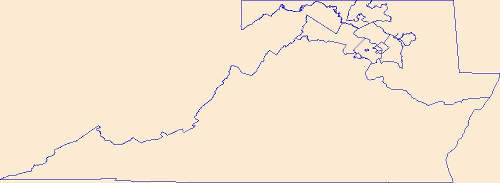
Geospatial data is comprised of government boundaries.
Types: Citation;
Tags: Boundaries,
CT,
Capitol,
Connecticut,
County or Equivalent, All tags...
Downloadable Data,
Esri File GeoDatabase 10,
FileGDB,
Greater Bridgeport,
Incorporated Place,
Jurisdictional,
Lower Connecticut River Valley,
Minor Civil Division,
National Boundary Dataset (NBD),
National Boundary Dataset (NBD),
Native American Area,
Naugatuck Valley,
Northeastern Connecticut,
Northwest Hills,
PLSS First Division,
PLSS Special Survey,
PLSS Township,
Public Land Survey System,
Reserve,
South Central Connecticut,
Southeastern Connecticut,
State,
State,
State or Territory,
U.S. National Grid,
US,
Unincorporated Place,
United States,
Western Connecticut,
boundaries,
boundary,
cadastral surveys,
geographic names,
land ownership,
land use maps,
legal land descriptions,
political and administrative boundaries,
zoning maps, Fewer tags
Geospatial data is comprised of government boundaries.
Tags: Appling,
Atkinson,
Bacon,
Baker,
Baldwin, All tags...
Banks,
Barrow,
Bartow,
Ben Hill,
Berrien,
Bibb,
Bleckley,
Boundaries,
Brantley,
Brooks,
Bryan,
Bulloch,
Burke,
Butts,
Calhoun,
Camden,
Candler,
Carroll,
Catoosa,
Charlton,
Chatham,
Chattahoochee,
Chattooga,
Cherokee,
Clarke,
Clay,
Clayton,
Clinch,
Cobb,
Coffee,
Colquitt,
Columbia,
Cook,
County or Equivalent,
Coweta,
Crawford,
Crisp,
Dade,
Dawson,
DeKalb,
Decatur,
Dodge,
Dooly,
Dougherty,
Douglas,
Downloadable Data,
Early,
Echols,
Effingham,
Elbert,
Emanuel,
Evans,
Fannin,
Fayette,
Floyd,
Forsyth,
Franklin,
Fulton,
GA,
GeoPackage,
Georgia,
Gilmer,
Glascock,
Glynn,
Gordon,
Grady,
Greene,
Gwinnett,
Habersham,
Hall,
Hancock,
Haralson,
Harris,
Hart,
Heard,
Henry,
Houston,
Incorporated Place,
Irwin,
Jackson,
Jasper,
Jeff Davis,
Jefferson,
Jenkins,
Johnson,
Jones,
Jurisdictional,
Lamar,
Lanier,
Laurens,
Lee,
Liberty,
Lincoln,
Long,
Lowndes,
Lumpkin,
Macon,
Madison,
Marion,
McDuffie,
McIntosh,
Meriwether,
Miller,
Minor Civil Division,
Mitchell,
Monroe,
Montgomery,
Morgan,
Murray,
Muscogee,
National Boundary Dataset (NBD),
National Boundary Dataset (NBD),
Native American Area,
Newton,
Oconee,
Oglethorpe,
Open Geospatial Consortium GeoPackage 1.2,
PLSS First Division,
PLSS Special Survey,
PLSS Township,
Paulding,
Peach,
Pickens,
Pierce,
Pike,
Polk,
Public Land Survey System,
Pulaski,
Putnam,
Quitman,
Rabun,
Randolph,
Reserve,
Richmond,
Rockdale,
Schley,
Screven,
Seminole,
Spalding,
State,
State,
State or Territory,
Stephens,
Stewart,
Sumter,
Talbot,
Taliaferro,
Tattnall,
Taylor,
Telfair,
Terrell,
Thomas,
Tift,
Toombs,
Towns,
Treutlen,
Troup,
Turner,
Twiggs,
U.S. National Grid,
US,
Unincorporated Place,
Union,
United States,
Upson,
Walker,
Walton,
Ware,
Warren,
Washington,
Wayne,
Webster,
Wheeler,
White,
Whitfield,
Wilcox,
Wilkes,
Wilkinson,
Worth,
boundaries,
boundary,
cadastral surveys,
geographic names,
land ownership,
land use maps,
legal land descriptions,
political and administrative boundaries,
zoning maps, Fewer tags
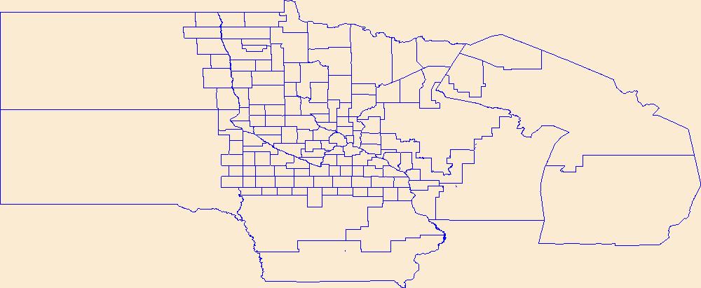
Geospatial data is comprised of government boundaries.
Tags: Aitkin,
Anoka,
Becker,
Beltrami,
Benton, All tags...
Big Stone,
Blue Earth,
Boundaries,
Brown,
Carlton,
Carver,
Cass,
Chippewa,
Chisago,
Clay,
Clearwater,
Cook,
Cottonwood,
County or Equivalent,
Crow Wing,
Dakota,
Dodge,
Douglas,
Downloadable Data,
Faribault,
Fillmore,
Freeborn,
GeoPackage,
Goodhue,
Grant,
Hennepin,
Houston,
Hubbard,
Incorporated Place,
Isanti,
Itasca,
Jackson,
Jurisdictional,
Kanabec,
Kandiyohi,
Kittson,
Koochiching,
Lac qui Parle,
Lake,
Lake of the Woods,
Le Sueur,
Lincoln,
Lyon,
MN,
Mahnomen,
Marshall,
Martin,
McLeod,
Meeker,
Mille Lacs,
Minnesota,
Minor Civil Division,
Morrison,
Mower,
Murray,
National Boundary Dataset (NBD),
National Boundary Dataset (NBD),
Native American Area,
Nicollet,
Nobles,
Norman,
Olmsted,
Open Geospatial Consortium GeoPackage 1.2,
Otter Tail,
PLSS First Division,
PLSS Special Survey,
PLSS Township,
Pennington,
Pine,
Pipestone,
Polk,
Pope,
Public Land Survey System,
Ramsey,
Red Lake,
Redwood,
Renville,
Reserve,
Rice,
Rock,
Roseau,
Scott,
Sherburne,
Sibley,
St. Louis,
State,
State,
State or Territory,
Stearns,
Steele,
Stevens,
Swift,
Todd,
Traverse,
U.S. National Grid,
US,
Unincorporated Place,
United States,
Wabasha,
Wadena,
Waseca,
Washington,
Watonwan,
Wilkin,
Winona,
Wright,
Yellow Medicine,
boundaries,
boundary,
cadastral surveys,
geographic names,
land ownership,
land use maps,
legal land descriptions,
political and administrative boundaries,
zoning maps, Fewer tags
Geospatial data is comprised of government boundaries.
Tags: Ada,
Adams,
Bannock,
Bear Lake,
Benewah, All tags...
Bingham,
Blaine,
Boise,
Bonner,
Bonneville,
Boundaries,
Boundary,
Butte,
Camas,
Canyon,
Caribou,
Cassia,
Clark,
Clearwater,
County or Equivalent,
Custer,
Downloadable Data,
Elmore,
Franklin,
Fremont,
Gem,
GeoPackage,
Gooding,
ID,
Idaho,
Idaho,
Incorporated Place,
Jefferson,
Jerome,
Jurisdictional,
Kootenai,
Latah,
Lemhi,
Lewis,
Lincoln,
Madison,
Minidoka,
Minor Civil Division,
National Boundary Dataset (NBD),
National Boundary Dataset (NBD),
Native American Area,
Nez Perce,
Oneida,
Open Geospatial Consortium GeoPackage 1.2,
Owyhee,
PLSS First Division,
PLSS Special Survey,
PLSS Township,
Payette,
Power,
Public Land Survey System,
Reserve,
Shoshone,
State,
State,
State or Territory,
Teton,
Twin Falls,
U.S. National Grid,
US,
Unincorporated Place,
United States,
Valley,
Washington,
boundaries,
boundary,
cadastral surveys,
geographic names,
land ownership,
land use maps,
legal land descriptions,
political and administrative boundaries,
zoning maps, Fewer tags
Geospatial data is comprised of government boundaries.
Tags: Boundaries,
County or Equivalent,
DC,
District of Columbia,
District of Columbia, All tags...
Downloadable Data,
GeoPackage,
Incorporated Place,
Jurisdictional,
Minor Civil Division,
National Boundary Dataset (NBD),
National Boundary Dataset (NBD),
Native American Area,
Open Geospatial Consortium GeoPackage 1.2,
PLSS First Division,
PLSS Special Survey,
PLSS Township,
Public Land Survey System,
Reserve,
State,
State,
State or Territory,
U.S. National Grid,
US,
Unincorporated Place,
United States,
boundaries,
boundary,
cadastral surveys,
geographic names,
land ownership,
land use maps,
legal land descriptions,
political and administrative boundaries,
zoning maps, Fewer tags
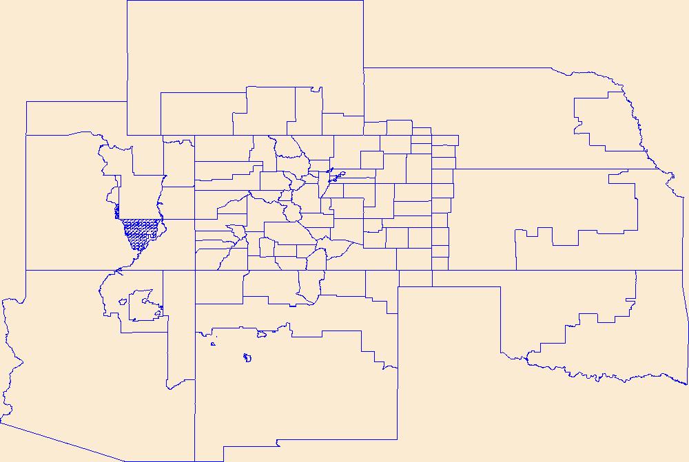
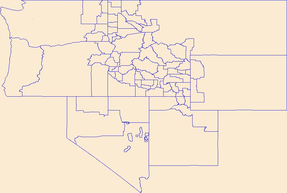
Geospatial data is comprised of government boundaries.
Tags: Adams,
Alamosa,
Arapahoe,
Archuleta,
Baca, All tags...
Bent,
Boulder,
Boundaries,
Broomfield,
CO,
Chaffee,
Cheyenne,
Clear Creek,
Colorado,
Conejos,
Costilla,
County or Equivalent,
Crowley,
Custer,
Delta,
Denver,
Dolores,
Douglas,
Downloadable Data,
Eagle,
El Paso,
Elbert,
Esri Shapefile nan,
Fremont,
Garfield,
Gilpin,
Grand,
Gunnison,
Hinsdale,
Huerfano,
Incorporated Place,
Jackson,
Jefferson,
Jurisdictional,
Kiowa,
Kit Carson,
La Plata,
Lake,
Larimer,
Las Animas,
Lincoln,
Logan,
Mesa,
Mineral,
Minor Civil Division,
Moffat,
Montezuma,
Montrose,
Morgan,
National Boundary Dataset (NBD),
National Boundary Dataset (NBD),
Native American Area,
Otero,
Ouray,
PLSS First Division,
PLSS Special Survey,
PLSS Township,
Park,
Phillips,
Pitkin,
Prowers,
Public Land Survey System,
Pueblo,
Reserve,
Rio Blanco,
Rio Grande,
Routt,
Saguache,
San Juan,
San Miguel,
Sedgwick,
Shapefile,
State,
State,
State or Territory,
Summit,
Teller,
U.S. National Grid,
US,
Unincorporated Place,
United States,
Washington,
Weld,
Yuma,
boundaries,
boundary,
cadastral surveys,
geographic names,
land ownership,
land use maps,
legal land descriptions,
political and administrative boundaries,
zoning maps, Fewer tags
Geospatial data is comprised of government boundaries.
Tags: Alcona,
Alger,
Allegan,
Alpena,
Antrim, All tags...
Arenac,
Baraga,
Barry,
Bay,
Benzie,
Berrien,
Boundaries,
Branch,
Calhoun,
Cass,
Charlevoix,
Cheboygan,
Chippewa,
Clare,
Clinton,
County or Equivalent,
Crawford,
Delta,
Dickinson,
Downloadable Data,
Eaton,
Emmet,
Esri Shapefile nan,
Genesee,
Gladwin,
Gogebic,
Grand Traverse,
Gratiot,
Hillsdale,
Houghton,
Huron,
Incorporated Place,
Ingham,
Ionia,
Iosco,
Iron,
Isabella,
Jackson,
Jurisdictional,
Kalamazoo,
Kalkaska,
Kent,
Keweenaw,
Lake,
Lapeer,
Leelanau,
Lenawee,
Livingston,
Luce,
MI,
Mackinac,
Macomb,
Manistee,
Marquette,
Mason,
Mecosta,
Menominee,
Michigan,
Midland,
Minor Civil Division,
Missaukee,
Monroe,
Montcalm,
Montmorency,
Muskegon,
National Boundary Dataset (NBD),
National Boundary Dataset (NBD),
Native American Area,
Newaygo,
Oakland,
Oceana,
Ogemaw,
Ontonagon,
Osceola,
Oscoda,
Otsego,
Ottawa,
PLSS First Division,
PLSS Special Survey,
PLSS Township,
Presque Isle,
Public Land Survey System,
Reserve,
Roscommon,
Saginaw,
Sanilac,
Schoolcraft,
Shapefile,
Shiawassee,
St. Clair,
St. Joseph,
State,
State,
State or Territory,
Tuscola,
U.S. National Grid,
US,
Unincorporated Place,
United States,
Van Buren,
Washtenaw,
Wayne,
Wexford,
boundaries,
boundary,
cadastral surveys,
geographic names,
land ownership,
land use maps,
legal land descriptions,
political and administrative boundaries,
zoning maps, Fewer tags
Geospatial data is comprised of government boundaries.
Tags: Barnstable,
Berkshire,
Boundaries,
Bristol,
County or Equivalent, All tags...
Downloadable Data,
Dukes,
Esri Shapefile nan,
Essex,
Franklin,
Hampden,
Hampshire,
Incorporated Place,
Jurisdictional,
MA,
Massachusetts,
Middlesex,
Minor Civil Division,
Nantucket,
National Boundary Dataset (NBD),
National Boundary Dataset (NBD),
Native American Area,
Norfolk,
PLSS First Division,
PLSS Special Survey,
PLSS Township,
Plymouth,
Public Land Survey System,
Reserve,
Shapefile,
State,
State,
State or Territory,
Suffolk,
U.S. National Grid,
US,
Unincorporated Place,
United States,
Worcester,
boundaries,
boundary,
cadastral surveys,
geographic names,
land ownership,
land use maps,
legal land descriptions,
political and administrative boundaries,
zoning maps, Fewer tags
|
|

