Filters: Tags: river reaches (X)
399 results (16ms)|
Filters
Date Range
Extensions Types Contacts
Categories Tag Types
|
This dataset is part of the U.S. Geological Survey (USGS) Great Lakes Coastal Wetland Restoration Assessment (GLCWRA) initiative. These data represent the flowline network in the Green Bay Restoration Assessment (GBRA). It is attributed with the number of disconnections (e.g., road crossings) between the reach and Lake Ontario. The more road crossings on a flowline the more disconnected that area is from the lake and the less suitable it will be for restoration. These data help identify the condition of hydrologic separation between potential restoration areas and Lake Ontario. Low numbers represent fewer disconnections, such as culverts, between the reach and the water body requiring no flow network modification...
These data represent total vegetation and surface water along approximately 12 kilometers of the Paria River upstream from the confluence of the Colorado River at Lees Ferry, Arizona. They are derived from airborne, multispectral imagery obtained in late May 2009, 2013, and 2021, collected with a push-broom sensor with 4 spectral bands depicting Blue, Green, Red and Near-Infrared wavelengths at a spatial resolution of 20 centimeters. The vegetation classification data were created using a supervised classification algorithm provided by Harris Geospatial in ENVI version 5.6.3 (Exelis Visual Information Solutions, Boulder, Colorado). The water data were created using a Green Normalized Difference Vegetation Index...
This USGS data release documents species distribution models for 271 fluvial fish species in their native ranges of the conterminous United States. Source data, supporting code and model results are documented in this data package. Boosted Regression Tree (BRT) models were used to develop presence/absence predictions for each of the National Hydrography Dataset Plus Version 2.1 stream segments within a species' native range. The predictions provided can be linked to the NHDPlusV2.1 geospatial dataset through the COMID to create a spatial depiction of the models. The primary results are stored in the file "BRT Predictions" and are provided in comma separated value (CSV) and Parquet file formats. Parquet file format...
Categories: Data;
Tags: USGS Science Data Catalog (SDC),
United States of America,
aquatic biology,
biogeography,
biota,
High-resolution topographic surveys were conducted at two pools on the Carmel River between 2014 and 2019 using a survey-grade total station. The Dam Reach pool (DMPOOL) is located within the Dam Reach, approximately 450 meters downstream of the former site of the San Clemente Dam. The Sleepy Hollow pool (SHPOOL) is located within the Sleepy Hollow reach, approximately 2.25 kilometers downstream of the former site of the San Clemente Dam. Both pools were surveyed in 2014, 2015, 2016, 2017, and 2019 using a total station, in conjunction with the channel cross-section surveys also conducted as part of this study (see accompanying file within this data release for topographic survey transect data). For the 2015 survey,...
Categories: Data;
Tags: Bathymetry and Elevation,
CMGP,
Carmel River,
Carmel Valley,
Coastal and Marine Geology Program,
This data release supersedes version 1, published in 2017 under https://doi.org/10.5066/F74M93HF. Please see Version_History_P9HG8UDS.txt below for more information. This dataset contains the easting, northing, and elevation values of the river-right and river-left transect endpoint reference benchmarks (RBM and LBM) from survey transects at 10 survey reaches along the Carmel River, central California. Topographic surveys were completed on these transects during eight summer surveys (in 2013, 2014, 2015, 2016, 2017, 2019, 2020 and 2021). See accompanying file within this data release for elevation measurements. All data were collected in NAD83 UTM10N horizontal coordinates and NAVD88 Geoid 12B vertical coordinates,...
Categories: Data;
Tags: Bathymetry and Elevation,
CMGP,
Carmel River,
Carmel Valley,
Coastal and Marine Geology Program,
Streamgage levels on the Elwha River were measured from 2011 to 2016. These measurements show the height of the river's water surface, both in meters relative to the stream bed, as well as in meters relative to vertical geographic coordinates. Measurements were collected using a Global Water WL16 battery-operated vented water level logger in a hardened casing. The instrument was installed on October 17, 2011 on the left bank of the Elwha River at a power line crossing above the Elwha Surface Water Intake (at approximately river kilometer 5.6), which is downstream of the (now historical) Elwha Dam site. Data collection ended May 12, 2016. The data were collected as part of a study investigating responses of the Elwha...
Categories: Data;
Tags: CMGP,
Coastal and Marine Geology Program,
Elwha River,
Elwha River Dam (historical),
Glines Canyon Dam (historical),
This dataset presents 28 georeferenced orthomosaic images of the middle and lower reaches of the Elwha River. Each mosaic image was created by stitching together thousands of individual photographs that were matched based on numerous unique tie points shared by the photographs. The individual photographs were taken by a plane-mounted camera during multiple flights over the study area spanning 2012 to 2017. Because each mosaic is orthogonal to the earth's surface and is georeferenced to real-world coordinates, changes to the river channel and surrounding morphology can be seen and measured, including channel width, river braiding, bar formation, and other metrics to assess responses of the river to the removal of...
Digital elevation models (DEMs) of the lower Elwha River, Washington, were created by synthesizing lidar and PlaneCam Structure-from-Motion (SfM) data. Lidar and still digital photographs were collected by airplane during surveys from 2012 to 2016. The digital photographs were used to create a SfM digital surface model. Each DEM represents the ending conditions for that water year (for example, the 2013 DEM represents conditions at approximately September 30, 2013). The final DEMs, presented here, were created from the most recent lidar before September 30 of a given year, supplemented with an error-corrected SfM model from a low-flow summer Elwha PlaneCam flight as close to 30 September as possible. This synthetic...

The High Resolution National Hydrography Dataset Plus (NHDPlus HR) is an integrated set of geospatial data layers, including the National Hydrography Dataset (NHD), National Watershed Boundary Dataset (WBD), and 3D Elevation Program Digital Elevation Model (3DEP DEM). The NHDPlus HR combines the NHD, 3DEP DEMs, and WBD to a data suite that includes the NHD stream network with linear referencing functionality, the WBD hydrologic units, elevation-derived catchment areas for each stream segment, "value added attributes" (VAAs), and other features that enhance hydrologic data analysis and routing.
The High Resolution National Hydrography Dataset Plus (NHDPlus HR) is an integrated set of geospatial data layers, including the best available National Hydrography Dataset (NHD), the 10-meter 3D Elevation Program Digital Elevation Model (3DEP DEM), and the National Watershed Boundary Dataset (WBD). The NHDPlus HR combines the NHD, 3DEP DEMs, and WBD to create a stream network with linear referencing, feature naming, "value added attributes" (VAAs), elevation-derived catchments, and other features for hydrologic data analysis. The stream network with linear referencing is a system of data relationships applied to hydrographic systems so that one stream reach "flows" into another and "events" can be tied to and traced...
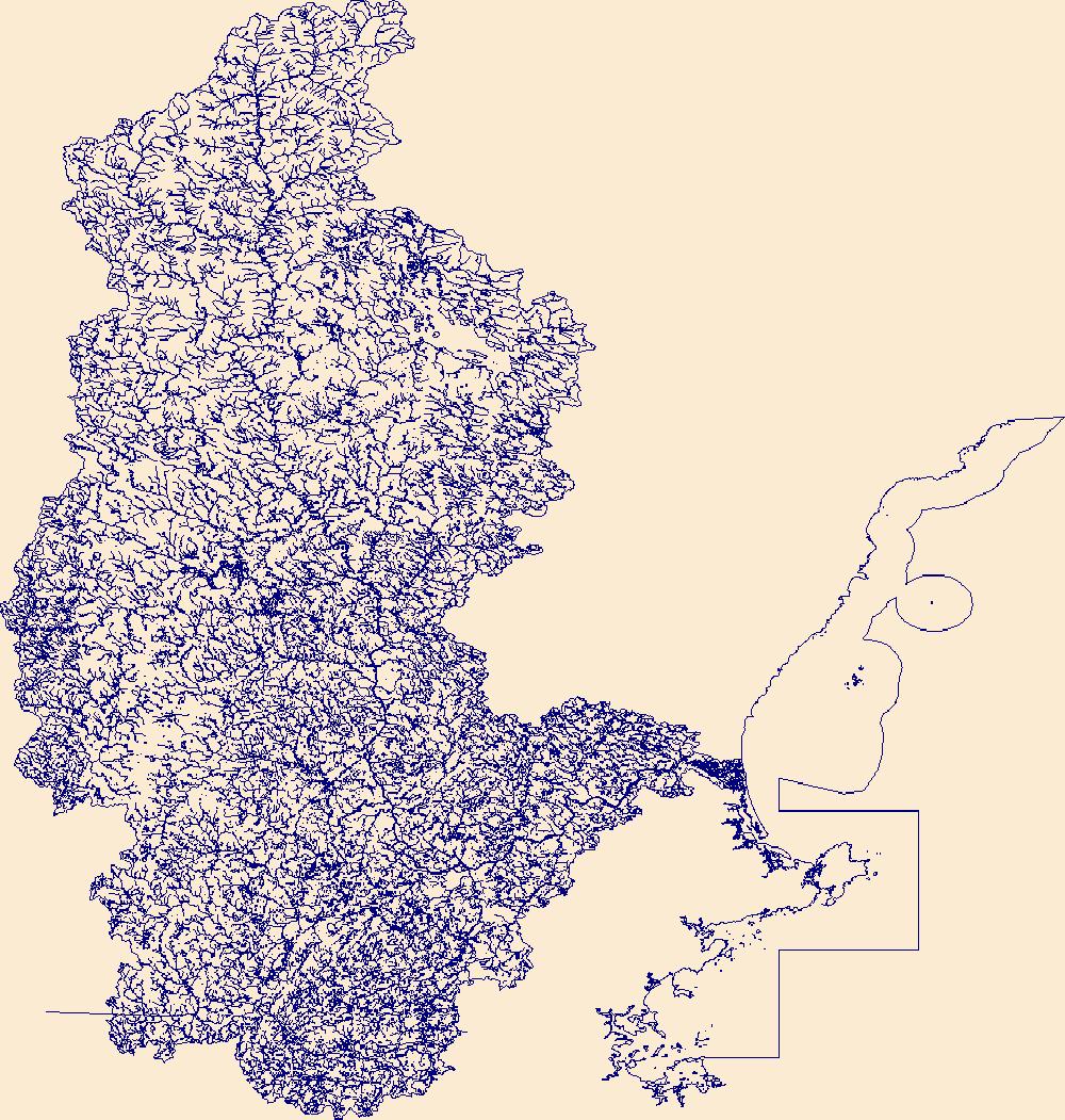
The High Resolution National Hydrography Dataset Plus (NHDPlus HR) is an integrated set of geospatial data layers, including the National Hydrography Dataset (NHD), National Watershed Boundary Dataset (WBD), and 3D Elevation Program Digital Elevation Model (3DEP DEM). The NHDPlus HR combines the NHD, 3DEP DEMs, and WBD to a data suite that includes the NHD stream network with linear referencing functionality, the WBD hydrologic units, elevation-derived catchment areas for each stream segment, "value added attributes" (VAAs), and other features that enhance hydrologic data analysis and routing.
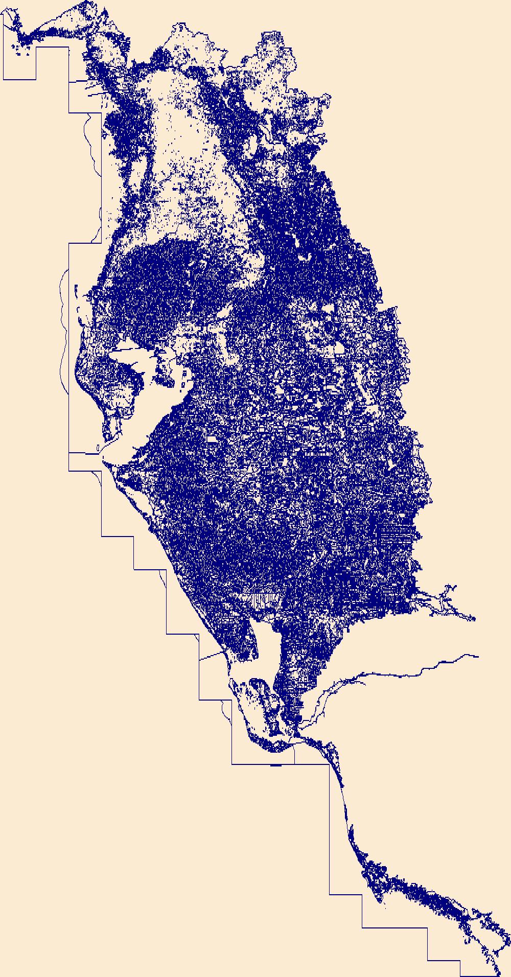
The High Resolution National Hydrography Dataset Plus (NHDPlus HR) is an integrated set of geospatial data layers, including the best available National Hydrography Dataset (NHD), the 10-meter 3D Elevation Program Digital Elevation Model (3DEP DEM), and the National Watershed Boundary Dataset (WBD). The NHDPlus HR combines the NHD, 3DEP DEMs, and WBD to create a stream network with linear referencing, feature naming, "value added attributes" (VAAs), elevation-derived catchments, and other features for hydrologic data analysis. The stream network with linear referencing is a system of data relationships applied to hydrographic systems so that one stream reach "flows" into another and "events" can be tied to and traced...
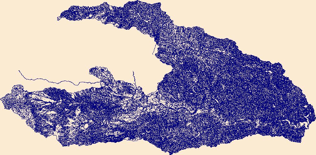
The High Resolution National Hydrography Dataset Plus (NHDPlus HR) is an integrated set of geospatial data layers, including the best available National Hydrography Dataset (NHD), the 10-meter 3D Elevation Program Digital Elevation Model (3DEP DEM), and the National Watershed Boundary Dataset (WBD). The NHDPlus HR combines the NHD, 3DEP DEMs, and WBD to create a stream network with linear referencing, feature naming, "value added attributes" (VAAs), elevation-derived catchments, and other features for hydrologic data analysis. The stream network with linear referencing is a system of data relationships applied to hydrographic systems so that one stream reach "flows" into another and "events" can be tied to and traced...
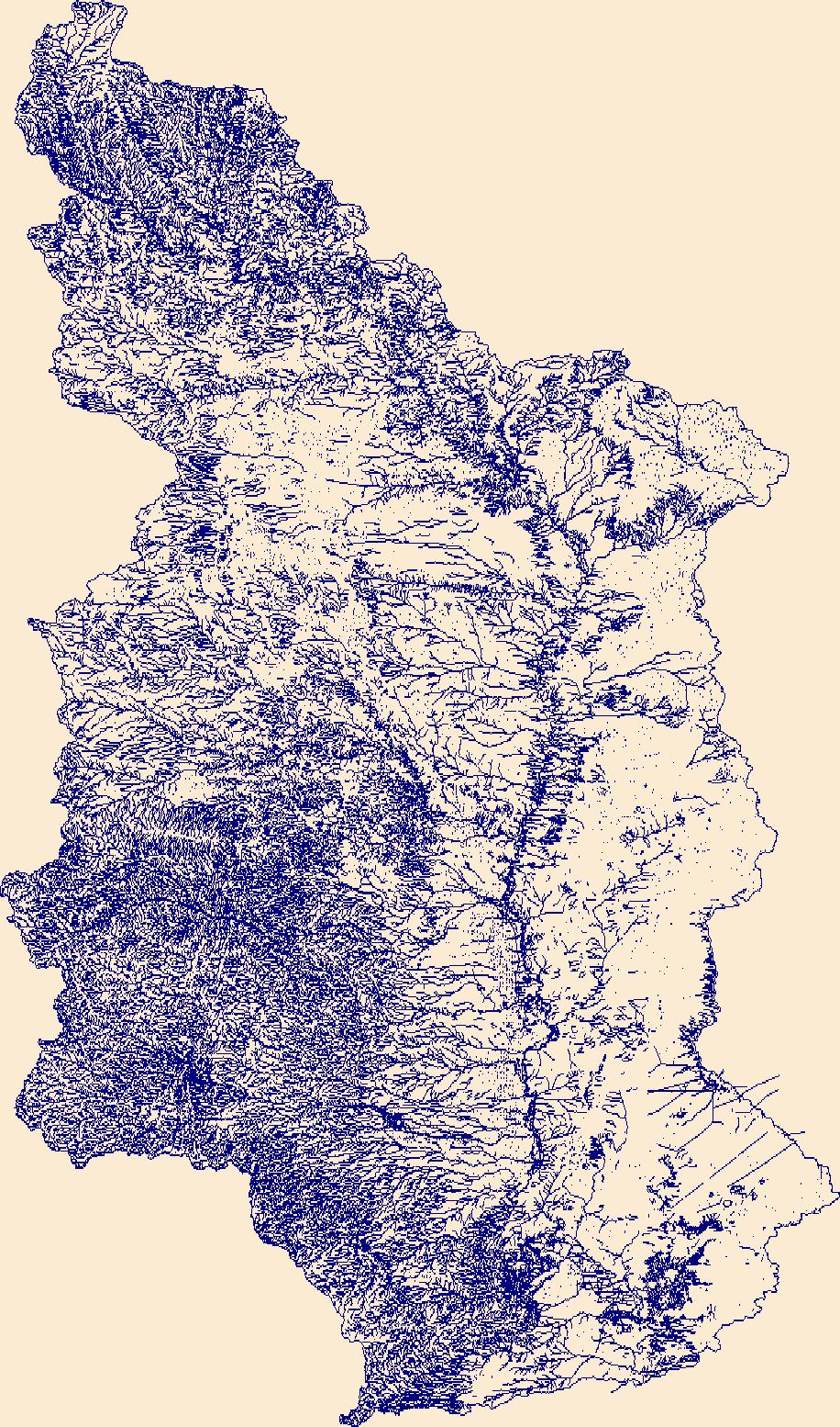
The High Resolution National Hydrography Dataset Plus (NHDPlus HR) is an integrated set of geospatial data layers, including the best available National Hydrography Dataset (NHD), the 10-meter 3D Elevation Program Digital Elevation Model (3DEP DEM), and the National Watershed Boundary Dataset (WBD). The NHDPlus HR combines the NHD, 3DEP DEMs, and WBD to create a stream network with linear referencing, feature naming, "value added attributes" (VAAs), elevation-derived catchments, and other features for hydrologic data analysis. The stream network with linear referencing is a system of data relationships applied to hydrographic systems so that one stream reach "flows" into another and "events" can be tied to and traced...
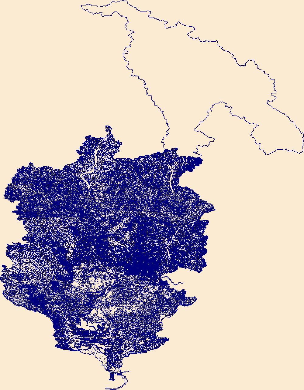
The High Resolution National Hydrography Dataset Plus (NHDPlus HR) is an integrated set of geospatial data layers, including the best available National Hydrography Dataset (NHD), the 10-meter 3D Elevation Program Digital Elevation Model (3DEP DEM), and the National Watershed Boundary Dataset (WBD). The NHDPlus HR combines the NHD, 3DEP DEMs, and WBD to create a stream network with linear referencing, feature naming, "value added attributes" (VAAs), elevation-derived catchments, and other features for hydrologic data analysis. The stream network with linear referencing is a system of data relationships applied to hydrographic systems so that one stream reach "flows" into another and "events" can be tied to and traced...

The High Resolution National Hydrography Dataset Plus (NHDPlus HR) is an integrated set of geospatial data layers, including the best available National Hydrography Dataset (NHD), the 10-meter 3D Elevation Program Digital Elevation Model (3DEP DEM), and the National Watershed Boundary Dataset (WBD). The NHDPlus HR combines the NHD, 3DEP DEMs, and WBD to create a stream network with linear referencing, feature naming, "value added attributes" (VAAs), elevation-derived catchments, and other features for hydrologic data analysis. The stream network with linear referencing is a system of data relationships applied to hydrographic systems so that one stream reach "flows" into another and "events" can be tied to and traced...
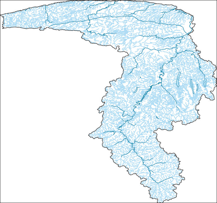
The High Resolution National Hydrography Dataset Plus (NHDPlus HR) is an integrated set of geospatial data layers, including the best available National Hydrography Dataset (NHD), the 10-meter 3D Elevation Program Digital Elevation Model (3DEP DEM), and the National Watershed Boundary Dataset (WBD). The NHDPlus HR combines the NHD, 3DEP DEMs, and WBD to create a stream network with linear referencing, feature naming, "value added attributes" (VAAs), elevation-derived catchments, and other features for hydrologic data analysis. The stream network with linear referencing is a system of data relationships applied to hydrographic systems so that one stream reach "flows" into another and "events" can be tied to and traced...
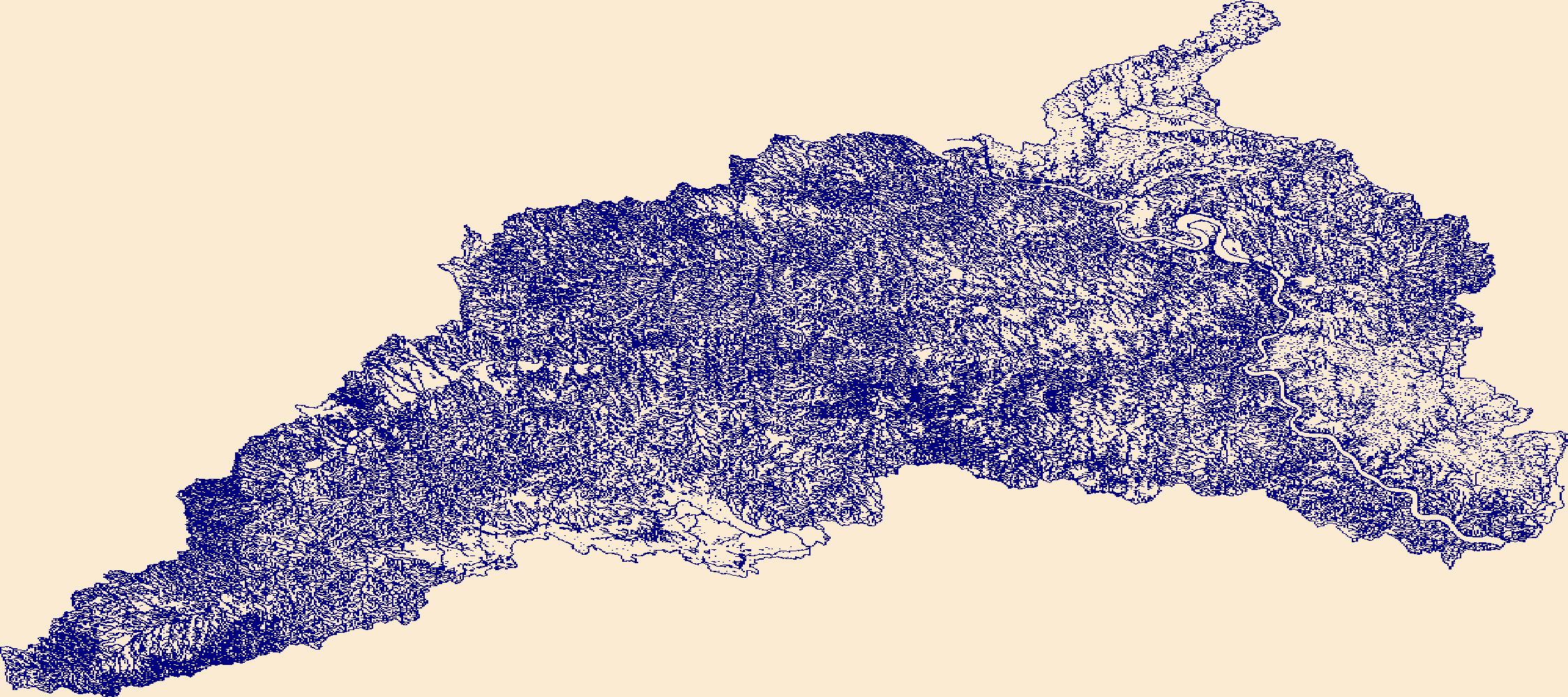
The High Resolution National Hydrography Dataset Plus (NHDPlus HR) is an integrated set of geospatial data layers, including the best available National Hydrography Dataset (NHD), the 10-meter 3D Elevation Program Digital Elevation Model (3DEP DEM), and the National Watershed Boundary Dataset (WBD). The NHDPlus HR combines the NHD, 3DEP DEMs, and WBD to create a stream network with linear referencing, feature naming, "value added attributes" (VAAs), elevation-derived catchments, and other features for hydrologic data analysis. The stream network with linear referencing is a system of data relationships applied to hydrographic systems so that one stream reach "flows" into another and "events" can be tied to and traced...

The High Resolution National Hydrography Dataset Plus (NHDPlus HR) is an integrated set of geospatial data layers, including the best available National Hydrography Dataset (NHD), the 10-meter 3D Elevation Program Digital Elevation Model (3DEP DEM), and the National Watershed Boundary Dataset (WBD). The NHDPlus HR combines the NHD, 3DEP DEMs, and WBD to create a stream network with linear referencing, feature naming, "value added attributes" (VAAs), elevation-derived catchments, and other features for hydrologic data analysis. The stream network with linear referencing is a system of data relationships applied to hydrographic systems so that one stream reach "flows" into another and "events" can be tied to and traced...

The High Resolution National Hydrography Dataset Plus (NHDPlus HR) is an integrated set of geospatial data layers, including the best available National Hydrography Dataset (NHD), the 10-meter 3D Elevation Program Digital Elevation Model (3DEP DEM), and the National Watershed Boundary Dataset (WBD). The NHDPlus HR combines the NHD, 3DEP DEMs, and WBD to create a stream network with linear referencing, feature naming, "value added attributes" (VAAs), elevation-derived catchments, and other features for hydrologic data analysis. The stream network with linear referencing is a system of data relationships applied to hydrographic systems so that one stream reach "flows" into another and "events" can be tied to and traced...
|

|