Filters: Tags: roads (X)
320 results (13ms)|
Filters
Date Range
Extensions Types Contacts
Categories Tag Types
|
This data set contains imagery from the National Agriculture Imagery Program (NAIP). The NAIP program is administered by USDA FSA and has been established to support two main FSA strategic goals centered on agricultural production. These are increase stewardship of America's natural resources while enhancing the environment, and to ensure commodities are procured and distributed effectively and efficiently to increase food security. The NAIP program supports these goals by acquiring and providing ortho imagery that has been collected during the agricultural growing season in the U.S. The NAIP ortho imagery is tailored to meet FSA requirements and is a fundamental tool used to support FSA farm and conservation programs....
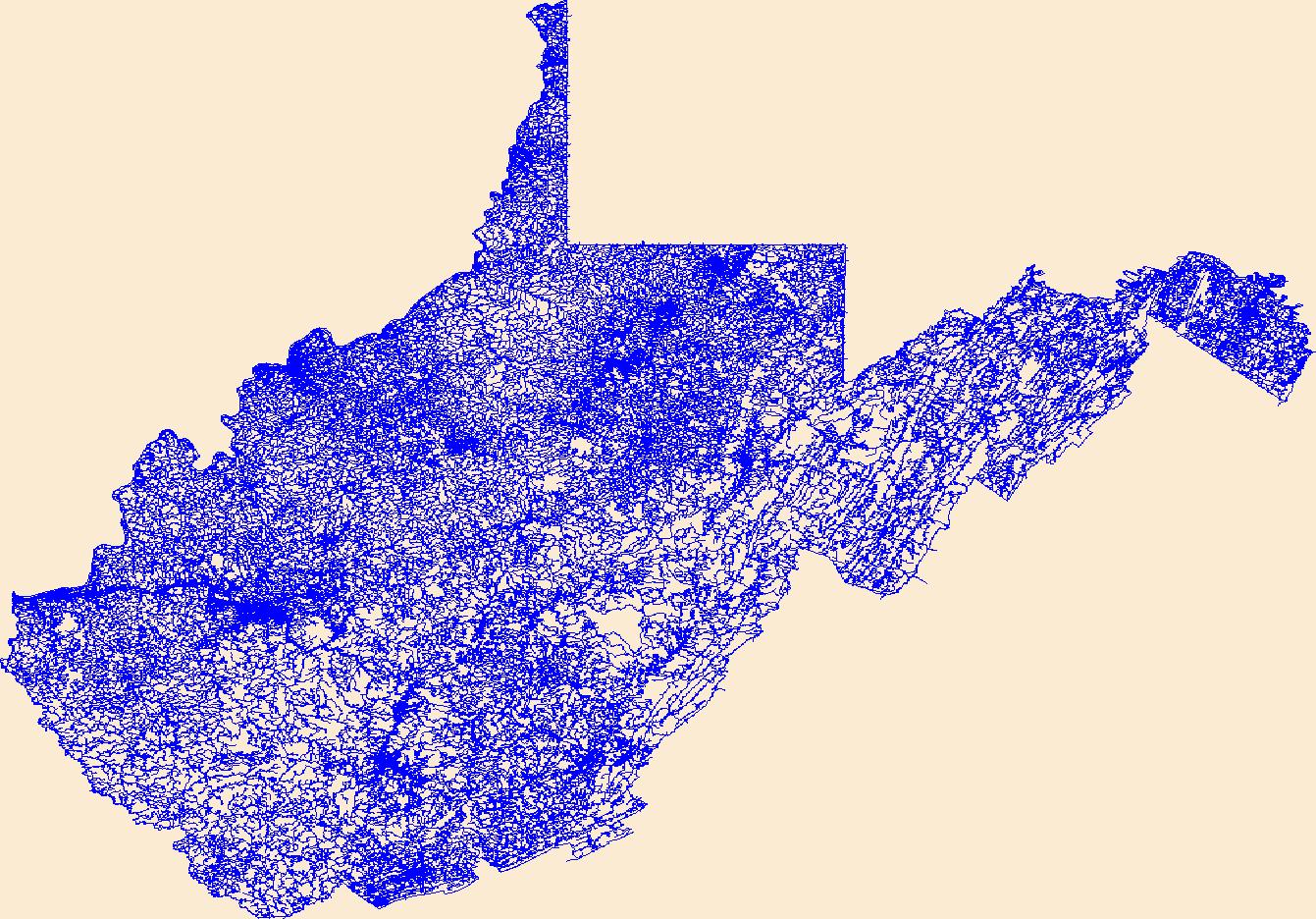
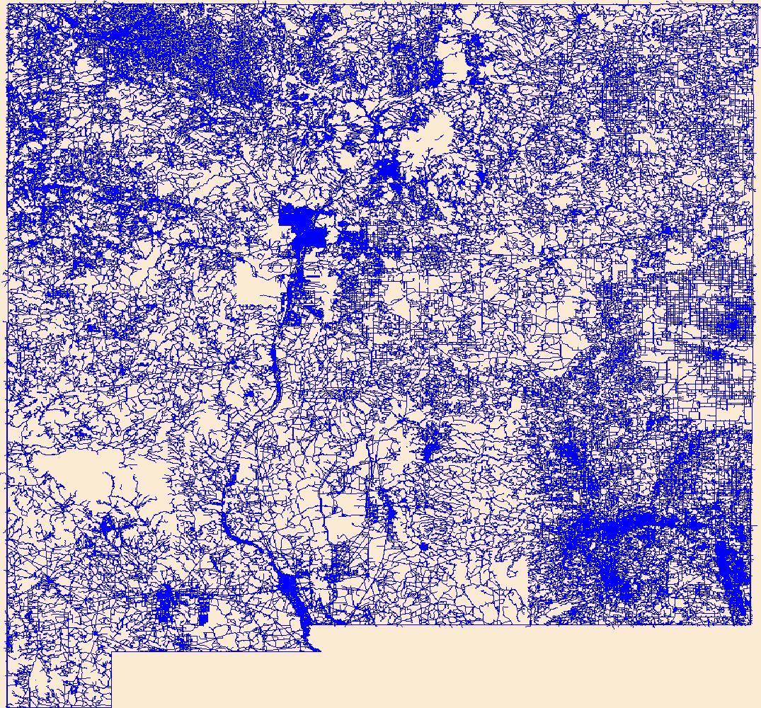
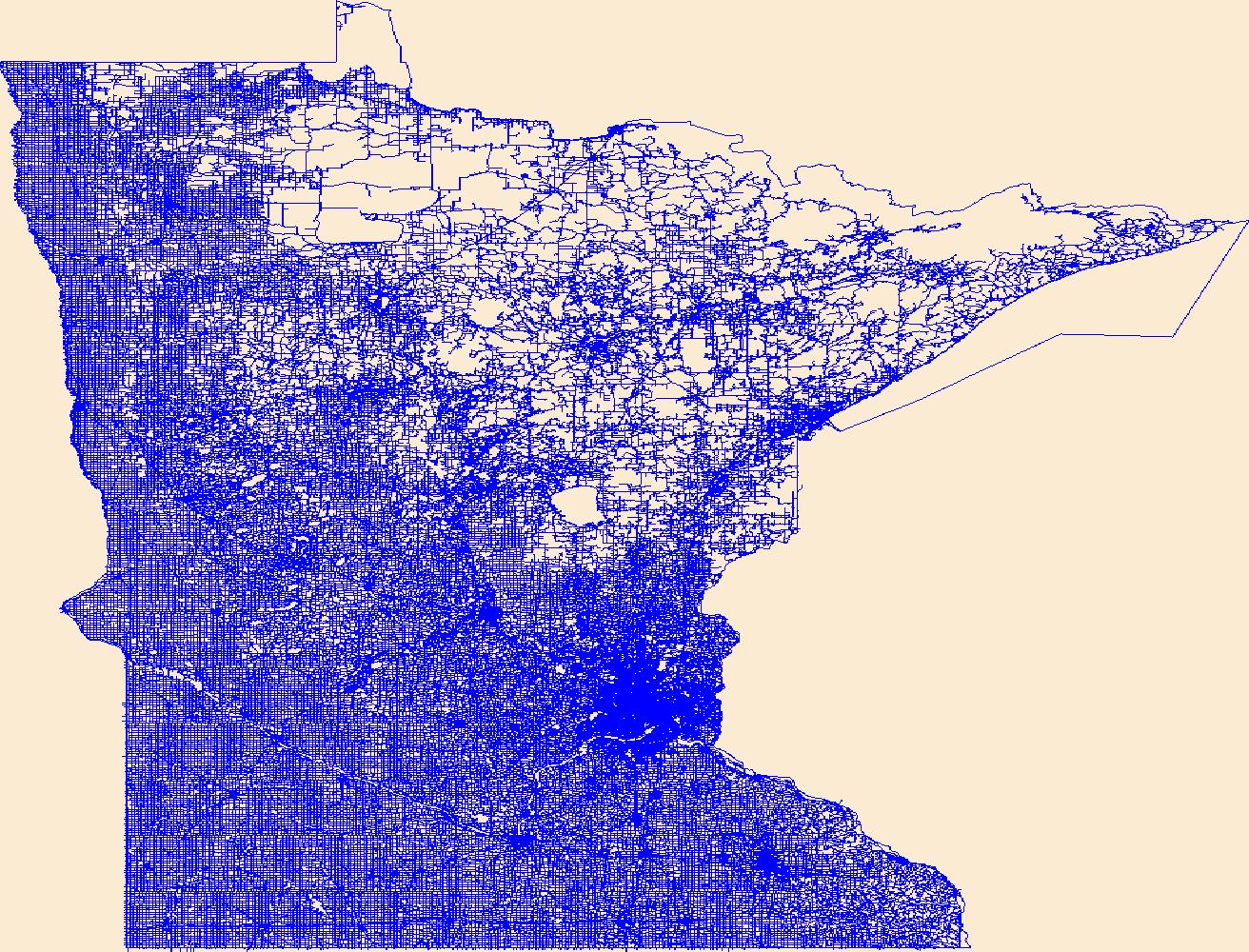
All roads in the western United States from the 2000 US Census Bureau 1:100,000 scale TIGER/line files.
Categories: Data;
Types: Downloadable,
Map Service,
OGC WFS Layer,
OGC WMS Layer,
Shapefile;
Tags: Arizona,
California,
Census 2000,
Colorado,
Idaho,
A polygon dataset of current road footprints in the SNK REA derived from the Alaska Department of Natural Resources infrastructure data (see the process steps for details). (This data depicts infrastructure locations in Alaska as digitized primarily from 1:24,000, 1:63,360, and 1:250,000 USGS quadrangles. The source document that represented the newest information and best geographic location was used to capture the data. All infrastructure from the primary source document was digitized and then supplemented with the information from other source documents for additional or updated infrastructure or attributes.)
This dataset contains TIGER roads, electrical transmission lines, Integrated Climate and Land Use Scenarios (ICLUS), wind turbine, and oil and gas wells, Data was reclassified and merged together to create a an anthropogenic layer.
Layers of geospatial data include roads, airports, trails, and railroads.
Layers of geospatial data include roads, airports, trails, and railroads.
Layers of geospatial data include roads, airports, trails, and railroads.
Layers of geospatial data include roads, airports, trails, and railroads.

Layers of geospatial data include roads, airports, trails, and railroads.

Layers of geospatial data include roads, airports, trails, and railroads.
Layers of geospatial data include roads, airports, trails, and railroads.

Layers of geospatial data include roads, airports, trails, and railroads.
Layers of geospatial data include roads, airports, trails, and railroads.
Layers of geospatial data include roads, airports, trails, and railroads.
This dataset represents roads in the Crown of the Continent Ecosystem (with a 50km buffer). Developed with the most recently available data and represents roads in ~2016. This dataset was developed by the Crown Managers Partnership, as part of a transboundary collaborative management initiative for the Crown of the Continent Ecosystem, based on commonly identified management priorities that are relevant at the landscape scale. The CMP is collaborative group of land managers, scientists, and stakeholder in the CCE. For more information on the CMP and its collaborators, programs, and projects please visit: http://crownmanagers.org/ This dataset has been produced by merging the "National Road Network (NRN) - AB,...
Categories: Data;
Types: Citation,
Downloadable,
Map Service,
OGC WFS Layer,
OGC WMS Layer,
Shapefile;
Tags: Alberta,
B.C,
CCE,
MSDI,
Montana,
This layer represents the roads for the Crown of the Continent Ecosystem. The data are a compilation from multiple sources.
Categories: Data;
Types: Citation,
Downloadable,
Map Service,
OGC WFS Layer,
OGC WMS Layer,
Shapefile;
Tags: CCE,
CCE,
CMP,
CMP,
Crown Managers Partnership,
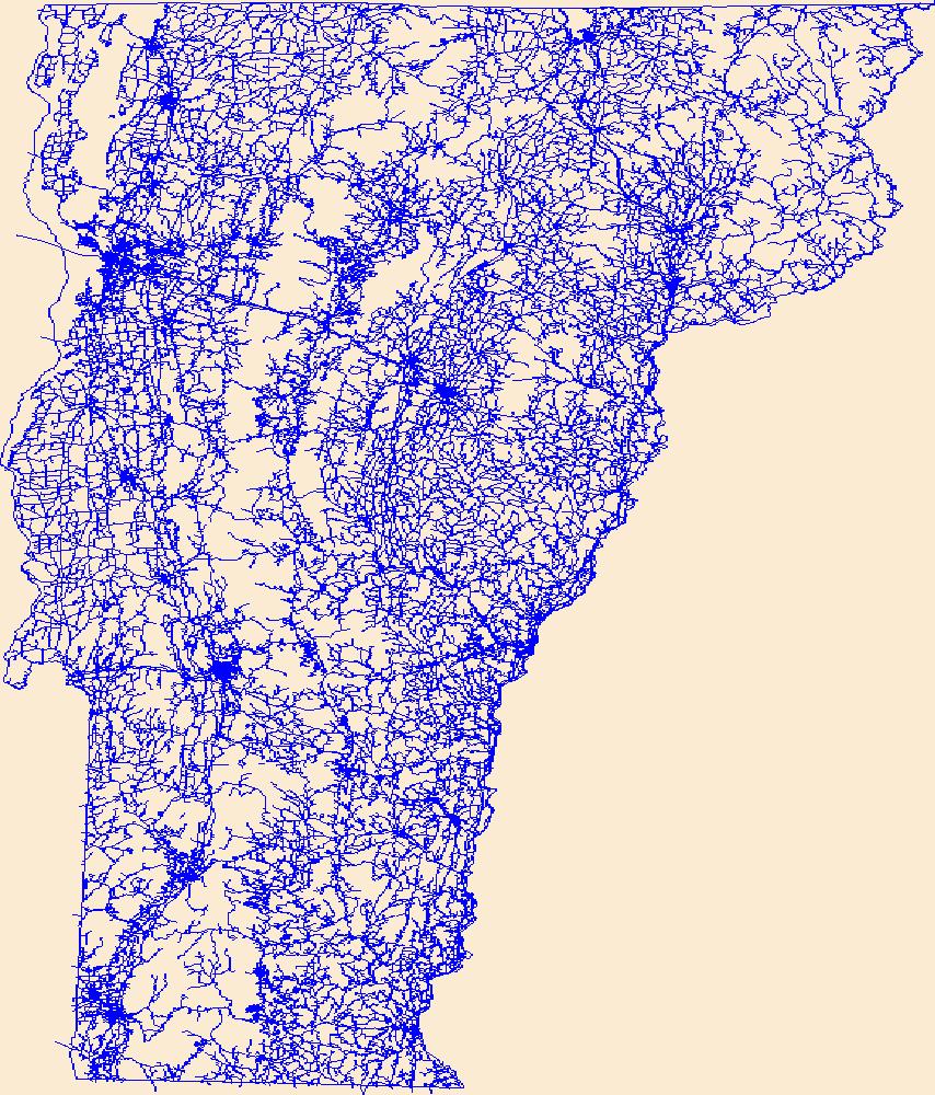
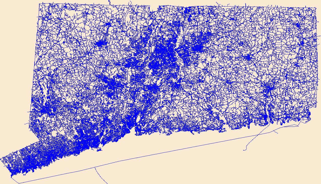
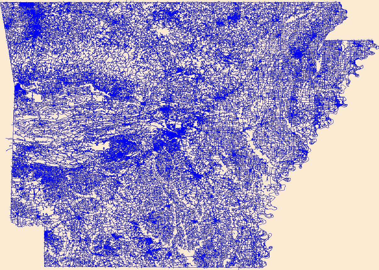
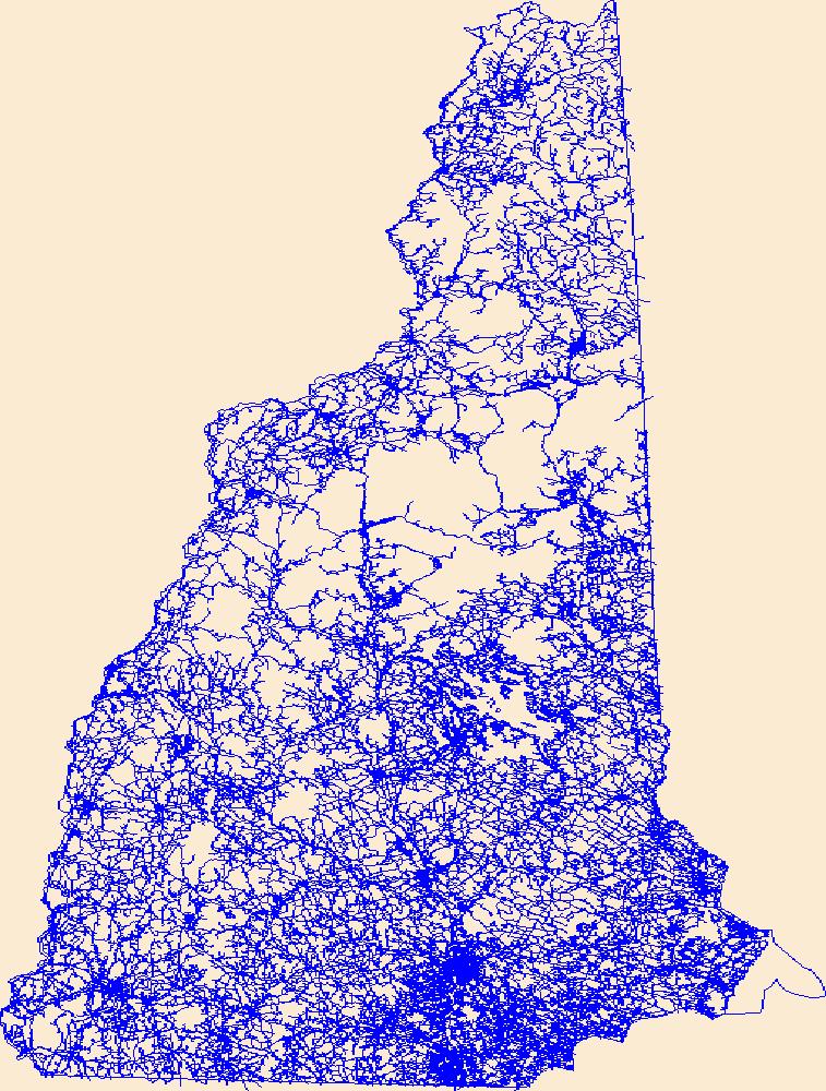
The TIGER/Line shapefiles and related database files (.dbf) are an extract of selected geographic and cartographic information from the U.S. Census Bureau's Master Address File / Topologically Integrated Geographic Encoding and Referencing (MAF/TIGER) Database (MTDB). The MTDB represents a seamless national file with no overlaps or gaps between parts, however, each TIGER/Line shapefile is designed to stand alone as an independent data set, or they can be combined to cover the entire nation. The All Roads Shapefile includes all features within the MTDB Super Class "Road/Path Features" distinguished where the MAF/TIGER Feature Classification Code (MTFCC) for the feature in MTDB that begins with "S". This includes...
Categories: Data;
Types: Downloadable,
GeoTIFF,
Map Service,
OGC WFS Layer,
OGC WMS Layer,
Raster,
Shapefile;
Tags: 16059,
Address Range,
County or Equivalent Entity,
County or equivalent entity,
Lemhi,
Synopsis: In an attempt to better characterize the influence of human settlement patterns on wolf distribution, this paper examined how radio-collared gray wolves responded to different road types and human presence at the boundaries of Kenai National Wildlife Refuge in south-central Alaska. Wolves tended to avoid oilfield access roads that were open to the public, but were attracted to gated pipeline access roads and secondary gravel roads with limited human use. The low use access and secondary roads likely provided an easy travel corridor for wolves. Prior to intensive trapping and hunting from 1978-1979, wolves demonstrated little territorial adjustment in response to a heavily used highway. However, only after...
Categories: Publication;
Types: Citation,
Map Service,
OGC WFS Layer,
OGC WMS Layer,
OGC WMS Service;
Tags: Alaska,
Alaska,
Canis lupus,
Coastal hemlock forest,
Kenai Peninsula,
This web map contains the ESRI ArcGIS Online World Topographic Map service, (aka "the community basemap"). The World Topographic Map service is designed to be used as a basemap by GIS professionals and as a reference map by anyone. The service includes administrative boundaries, cities, water features, physiographic features, parks, landmarks, highways, roads, railways, airports, and buildings overlaid on land cover and s
Categories: Data;
Types: ArcGIS REST Map Service,
Map Service;
Tags: Administrative Area,
Airports,
Buildings,
Cities,
Highways,
This dataset was created by overlaying connectivity model outputs for grizzly bear, black bear, lynx, wolverine, forest specialist species, and forest biome dwellers where they intersect the region’s major roads. It was used in conjunction with future traffic volume projections to identify priority sites for mitigating road impacts on wildlife. This project investigated the potential impacts of future housing development on traffic to determine where increased traffic from housing development will impact habitat connectivity for large carnivores. The focus of this study was Flathead and Lincoln counties in northwestern Montana. The main goal was to maintain wildlife habitat connectivity across transportation corridors...
Categories: Data;
Types: ArcGIS REST Map Service,
ArcGIS Service Definition,
Downloadable,
Map Service,
OGC WFS Layer,
OGC WMS Layer,
Shapefile;
Tags: Flathead County,
Lincoln County,
Northern Rocky Mountains,
Northwest Montana,
connectivity,
|

|
