Filters
Date Types (for Date Range)
Extensions
Types
Contacts
Categories
Tag Types
Tag Schemes
|
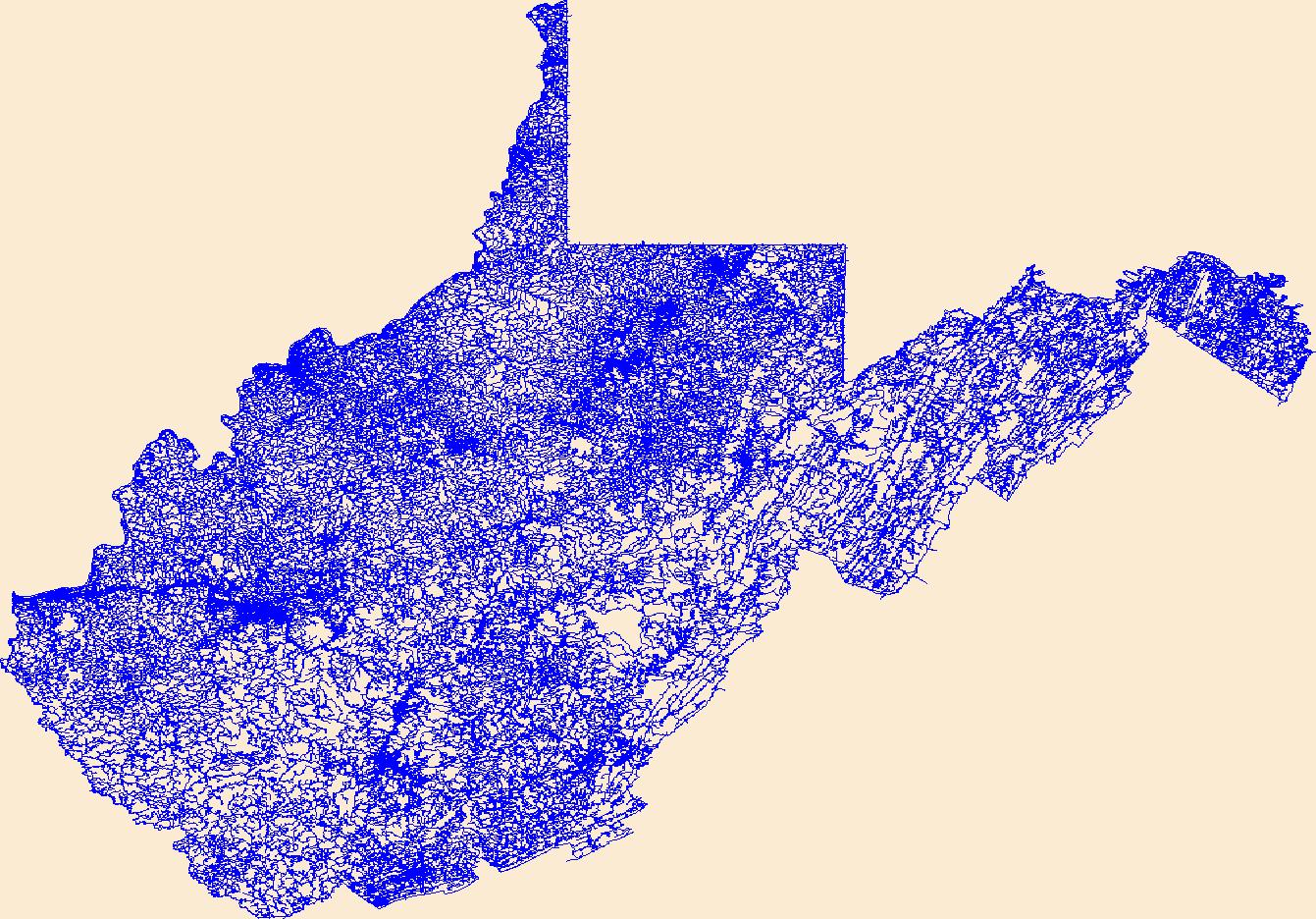
Layers of geospatial data include roads, airports, trails, and railroads.
Tags: Airport Complex,
Airport Point,
Airport Runway,
Airports,
Airstrips, All tags...
Barbour,
Berkeley,
Boone,
Braxton,
Brooke,
Cabell,
Calhoun,
Clay,
Doddridge,
Downloadable Data,
Esri File GeoDatabase 10,
Fayette,
FileGDB,
Geographic names,
Gilmer,
Grant,
Greenbrier,
Hampshire,
Hancock,
Hardy,
Harrison,
Jackson,
Jefferson,
Kanawha,
Lewis,
Lincoln,
Logan,
Marion,
Marshall,
Mason,
McDowell,
Mercer,
Mineral,
Mingo,
Monongalia,
Monroe,
Morgan,
National Transportation Dataset (NTD),
National Transportation Dataset (NTD),
Nicholas,
Ohio,
Pendleton,
Pleasants,
Pocahontas,
Preston,
Putnam,
Railways,
Raleigh,
Randolph,
Ritchie,
Roads,
Roane,
State,
State,
Summers,
Taylor,
Trail,
Trails,
Transportation,
Transportation,
Tucker,
Tyler,
US,
United States,
Upshur,
WV,
Waterway,
Wayne,
Webster,
West Virginia,
Wetzel,
Wirt,
Wood,
Wyoming,
transportation, Fewer tags
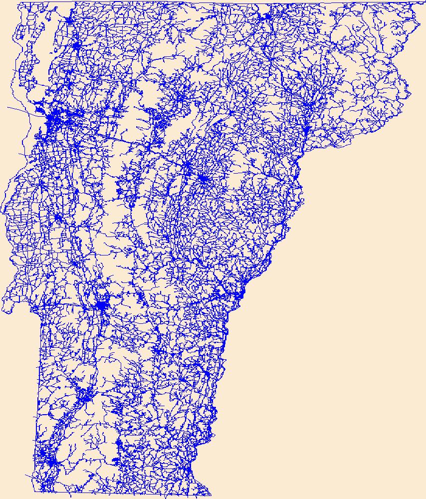
Layers of geospatial data include roads, airports, trails, and railroads.
Tags: Addison,
Airport Complex,
Airport Point,
Airport Runway,
Airports, All tags...
Airstrips,
Bennington,
Caledonia,
Chittenden,
Downloadable Data,
Esri File GeoDatabase 10,
Essex,
FileGDB,
Franklin,
Geographic names,
Grand Isle,
Lamoille,
National Transportation Dataset (NTD),
National Transportation Dataset (NTD),
Orange,
Orleans,
Railways,
Roads,
Rutland,
State,
State,
Trail,
Trails,
Transportation,
Transportation,
US,
United States,
VT,
Vermont,
Washington,
Waterway,
Windham,
Windsor,
transportation, Fewer tags
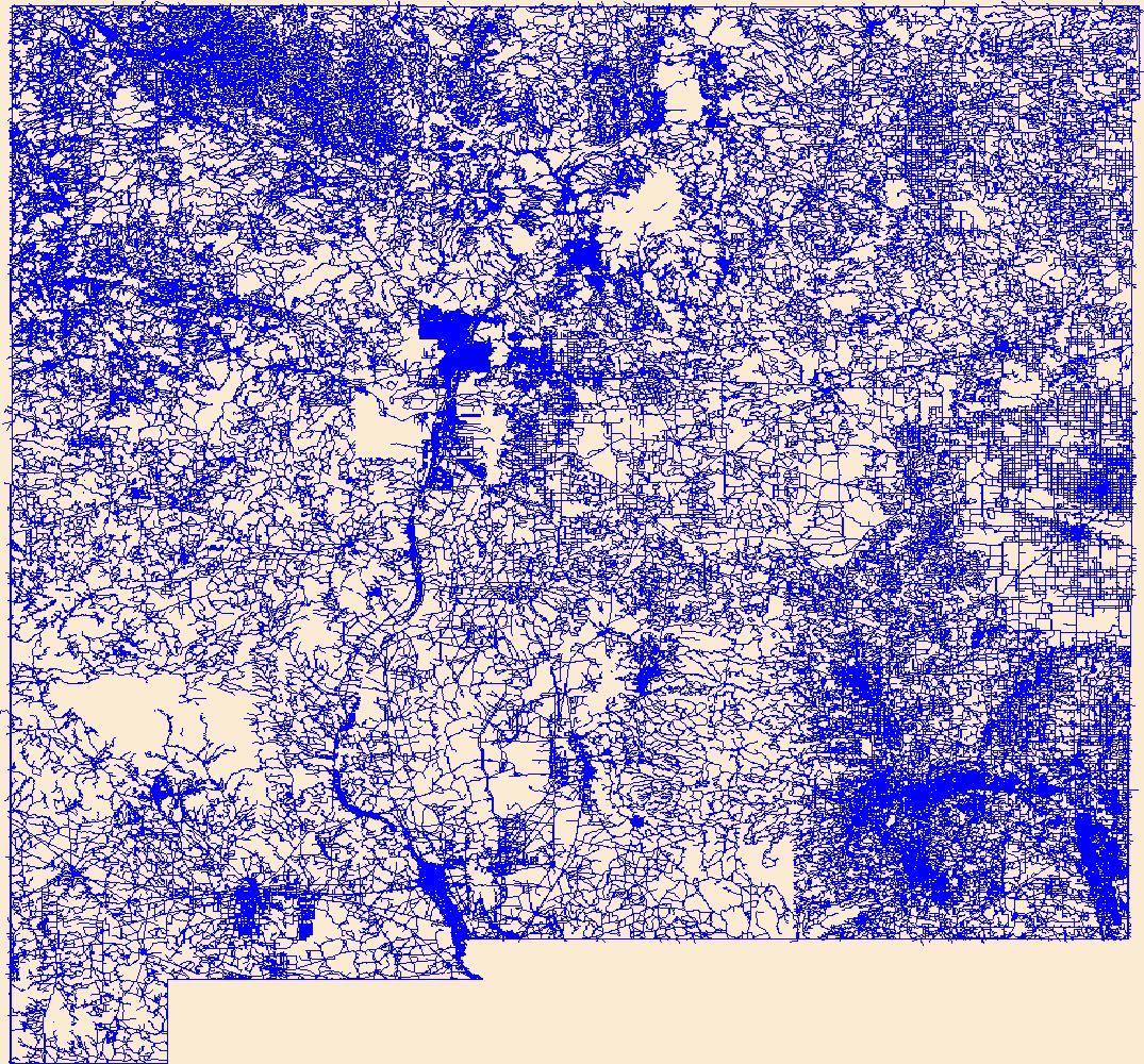
Layers of geospatial data include roads, airports, trails, and railroads.
Tags: Airport Complex,
Airport Point,
Airport Runway,
Airports,
Airstrips, All tags...
Bernalillo,
Catron,
Chaves,
Cibola,
Colfax,
Curry,
De Baca,
Downloadable Data,
Doña Ana,
Eddy,
Esri File GeoDatabase 10,
FileGDB,
Geographic names,
Grant,
Guadalupe,
Harding,
Hidalgo,
Lea,
Lincoln,
Los Alamos,
Luna,
McKinley,
Mora,
NM,
National Transportation Dataset (NTD),
National Transportation Dataset (NTD),
New Mexico,
Otero,
Quay,
Railways,
Rio Arriba,
Roads,
Roosevelt,
San Juan,
San Miguel,
Sandoval,
Santa Fe,
Sierra,
Socorro,
State,
State,
Taos,
Torrance,
Trail,
Trails,
Transportation,
Transportation,
US,
Union,
United States,
Valencia,
Waterway,
transportation, Fewer tags
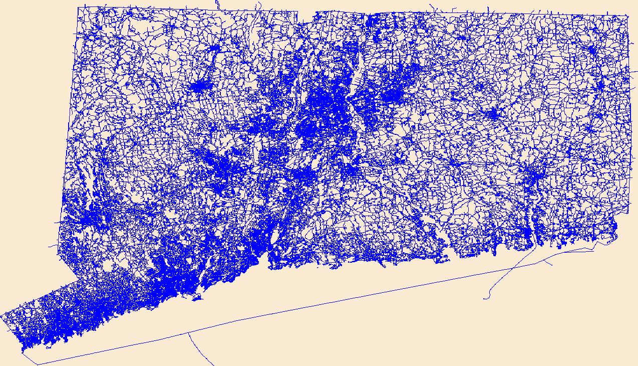
Layers of geospatial data include roads, airports, trails, and railroads.
Tags: Airport Complex,
Airport Point,
Airport Runway,
Airports,
Airstrips, All tags...
CT,
Capitol,
Connecticut,
Downloadable Data,
Esri Shapefile nan,
Geographic names,
Greater Bridgeport,
Lower Connecticut River Valley,
National Transportation Dataset (NTD),
National Transportation Dataset (NTD),
Naugatuck Valley,
Northeastern Connecticut,
Northwest Hills,
Railways,
Roads,
Shapefile,
South Central Connecticut,
Southeastern Connecticut,
State,
State,
Trail,
Trails,
Transportation,
Transportation,
US,
United States,
Waterway,
Western Connecticut,
transportation, Fewer tags

Layers of geospatial data include roads, airports, trails, and railroads.
Tags: Accomack,
Airport Complex,
Airport Point,
Airport Runway,
Airports, All tags...
Airstrips,
Albemarle,
Alexandria,
Alleghany,
Amelia,
Amherst,
Appomattox,
Arlington,
Augusta,
Bath,
Bedford,
Bland,
Botetourt,
Bristol,
Brunswick,
Buchanan,
Buckingham,
Buena Vista,
Campbell,
Caroline,
Carroll,
Charles City,
Charlotte,
Charlottesville,
Chesapeake,
Chesterfield,
Clarke,
Colonial Heights,
Covington,
Craig,
Culpeper,
Cumberland,
Danville,
Dickenson,
Dinwiddie,
Downloadable Data,
Emporia,
Essex,
Fairfax,
Falls Church,
Fauquier,
Floyd,
Fluvanna,
Franklin,
Frederick,
Fredericksburg,
Galax,
GeoPackage,
Geographic names,
Giles,
Gloucester,
Goochland,
Grayson,
Greene,
Greensville,
Halifax,
Hampton,
Hanover,
Harrisonburg,
Henrico,
Henry,
Highland,
Hopewell,
Isle of Wight,
James City,
King George,
King William,
King and Queen,
Lancaster,
Lee,
Lexington,
Loudoun,
Louisa,
Lunenburg,
Lynchburg,
Madison,
Manassas,
Manassas Park,
Martinsville,
Mathews,
Mecklenburg,
Middlesex,
Montgomery,
National Transportation Dataset (NTD),
National Transportation Dataset (NTD),
Nelson,
New Kent,
Newport News,
Norfolk,
Northampton,
Northumberland,
Norton,
Nottoway,
Open Geospatial Consortium GeoPackage 1.2,
Orange,
Page,
Patrick,
Petersburg,
Pittsylvania,
Poquoson,
Portsmouth,
Powhatan,
Prince Edward,
Prince George,
Prince William,
Pulaski,
Radford,
Railways,
Rappahannock,
Richmond,
Roads,
Roanoke,
Rockbridge,
Rockingham,
Russell,
Salem,
Scott,
Shenandoah,
Smyth,
Southampton,
Spotsylvania,
Stafford,
State,
State,
Staunton,
Suffolk,
Surry,
Sussex,
Tazewell,
Trail,
Trails,
Transportation,
Transportation,
US,
United States,
VA,
Virginia,
Virginia Beach,
Warren,
Washington,
Waterway,
Waynesboro,
Westmoreland,
Williamsburg,
Winchester,
Wise,
Wythe,
York,
transportation, Fewer tags

Layers of geospatial data include roads, airports, trails, and railroads.
Tags: Addison,
Airport Complex,
Airport Point,
Airport Runway,
Airports, All tags...
Airstrips,
Bennington,
Caledonia,
Chittenden,
Downloadable Data,
Essex,
Franklin,
GeoPackage,
Geographic names,
Grand Isle,
Lamoille,
National Transportation Dataset (NTD),
National Transportation Dataset (NTD),
Open Geospatial Consortium GeoPackage 1.2,
Orange,
Orleans,
Railways,
Roads,
Rutland,
State,
State,
Trail,
Trails,
Transportation,
Transportation,
US,
United States,
VT,
Vermont,
Washington,
Waterway,
Windham,
Windsor,
transportation, Fewer tags
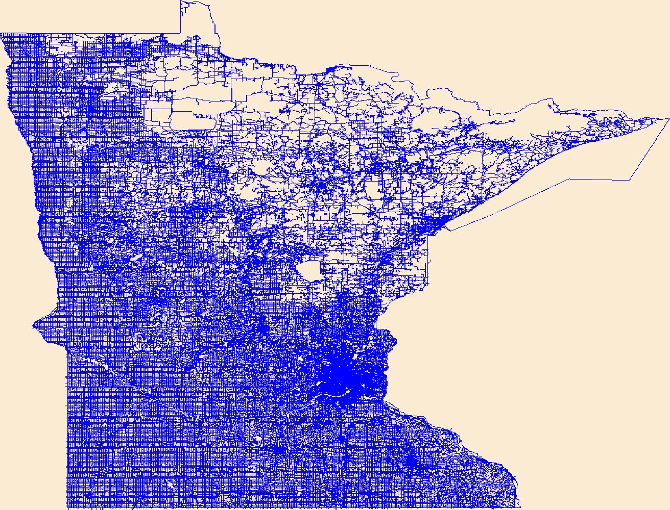
Layers of geospatial data include roads, airports, trails, and railroads.
Tags: Airport Complex,
Airport Point,
Airport Runway,
Airports,
Airstrips, All tags...
Aitkin,
Anoka,
Becker,
Beltrami,
Benton,
Big Stone,
Blue Earth,
Brown,
Carlton,
Carver,
Cass,
Chippewa,
Chisago,
Clay,
Clearwater,
Cook,
Cottonwood,
Crow Wing,
Dakota,
Dodge,
Douglas,
Downloadable Data,
Faribault,
Fillmore,
Freeborn,
GeoPackage,
Geographic names,
Goodhue,
Grant,
Hennepin,
Houston,
Hubbard,
Isanti,
Itasca,
Jackson,
Kanabec,
Kandiyohi,
Kittson,
Koochiching,
Lac qui Parle,
Lake,
Lake of the Woods,
Le Sueur,
Lincoln,
Lyon,
MN,
Mahnomen,
Marshall,
Martin,
McLeod,
Meeker,
Mille Lacs,
Minnesota,
Morrison,
Mower,
Murray,
National Transportation Dataset (NTD),
National Transportation Dataset (NTD),
Nicollet,
Nobles,
Norman,
Olmsted,
Open Geospatial Consortium GeoPackage 1.2,
Otter Tail,
Pennington,
Pine,
Pipestone,
Polk,
Pope,
Railways,
Ramsey,
Red Lake,
Redwood,
Renville,
Rice,
Roads,
Rock,
Roseau,
Scott,
Sherburne,
Sibley,
St. Louis,
State,
State,
Stearns,
Steele,
Stevens,
Swift,
Todd,
Trail,
Trails,
Transportation,
Transportation,
Traverse,
US,
United States,
Wabasha,
Wadena,
Waseca,
Washington,
Waterway,
Watonwan,
Wilkin,
Winona,
Wright,
Yellow Medicine,
transportation, Fewer tags

Layers of geospatial data include roads, airports, trails, and railroads.
Tags: Airport Complex,
Airport Point,
Airport Runway,
Airports,
Airstrips, All tags...
Alameda,
Alpine,
Amador,
Butte,
CA,
Calaveras,
California,
Colusa,
Contra Costa,
Del Norte,
Downloadable Data,
El Dorado,
Fresno,
GeoPackage,
Geographic names,
Glenn,
Humboldt,
Imperial,
Inyo,
Kern,
Kings,
Lake,
Lassen,
Los Angeles,
Madera,
Marin,
Mariposa,
Mendocino,
Merced,
Modoc,
Mono,
Monterey,
Napa,
National Transportation Dataset (NTD),
National Transportation Dataset (NTD),
Nevada,
Open Geospatial Consortium GeoPackage 1.2,
Orange,
Placer,
Plumas,
Railways,
Riverside,
Roads,
Sacramento,
San Benito,
San Bernardino,
San Diego,
San Francisco,
San Joaquin,
San Luis Obispo,
San Mateo,
Santa Barbara,
Santa Clara,
Santa Cruz,
Shasta,
Sierra,
Siskiyou,
Solano,
Sonoma,
Stanislaus,
State,
State,
Sutter,
Tehama,
Trail,
Trails,
Transportation,
Transportation,
Trinity,
Tulare,
Tuolumne,
US,
United States,
Ventura,
Waterway,
Yolo,
Yuba,
transportation, Fewer tags
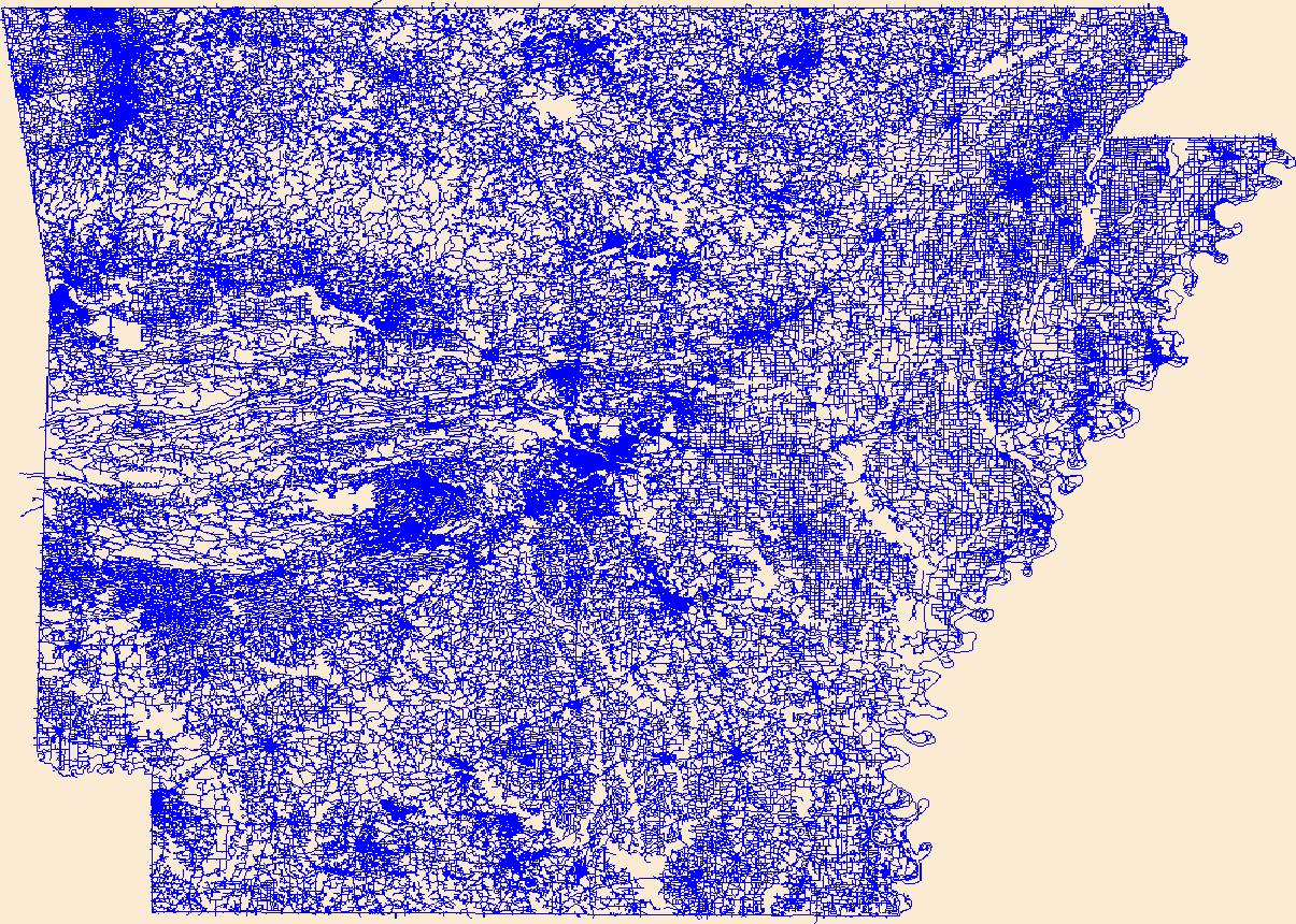
Layers of geospatial data include roads, airports, trails, and railroads.
Tags: AR,
Airport Complex,
Airport Point,
Airport Runway,
Airports, All tags...
Airstrips,
Arkansas,
Arkansas,
Ashley,
Baxter,
Benton,
Boone,
Bradley,
Calhoun,
Carroll,
Chicot,
Clark,
Clay,
Cleburne,
Cleveland,
Columbia,
Conway,
Craighead,
Crawford,
Crittenden,
Cross,
Dallas,
Desha,
Downloadable Data,
Drew,
Faulkner,
Franklin,
Fulton,
Garland,
GeoPackage,
Geographic names,
Grant,
Greene,
Hempstead,
Hot Spring,
Howard,
Independence,
Izard,
Jackson,
Jefferson,
Johnson,
Lafayette,
Lawrence,
Lee,
Lincoln,
Little River,
Logan,
Lonoke,
Madison,
Marion,
Miller,
Mississippi,
Monroe,
Montgomery,
National Transportation Dataset (NTD),
National Transportation Dataset (NTD),
Nevada,
Newton,
Open Geospatial Consortium GeoPackage 1.2,
Ouachita,
Perry,
Phillips,
Pike,
Poinsett,
Polk,
Pope,
Prairie,
Pulaski,
Railways,
Randolph,
Roads,
Saline,
Scott,
Searcy,
Sebastian,
Sevier,
Sharp,
St. Francis,
State,
State,
Stone,
Trail,
Trails,
Transportation,
Transportation,
US,
Union,
United States,
Van Buren,
Washington,
Waterway,
White,
Woodruff,
Yell,
transportation, Fewer tags
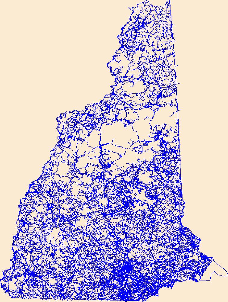
Layers of geospatial data include roads, airports, trails, and railroads.
Tags: Airport Complex,
Airport Point,
Airport Runway,
Airports,
Airstrips, All tags...
Belknap,
Carroll,
Cheshire,
Coos,
Downloadable Data,
GeoPackage,
Geographic names,
Grafton,
Hillsborough,
Merrimack,
NH,
National Transportation Dataset (NTD),
National Transportation Dataset (NTD),
New Hampshire,
Open Geospatial Consortium GeoPackage 1.2,
Railways,
Roads,
Rockingham,
State,
State,
Strafford,
Sullivan,
Trail,
Trails,
Transportation,
Transportation,
US,
United States,
Waterway,
transportation, Fewer tags

This layer represents the roads for the Crown of the Continent Ecosystem. The data are a compilation from multiple sources.
Categories: Data;
Types: Citation,
Downloadable,
Map Service,
OGC WFS Layer,
OGC WMS Layer,
Shapefile;
Tags: CCE,
CCE,
CMP,
CMP,
Crown Managers Partnership, All tags...
Crown Managers Partnership,
Crown of the Continent Ecosystem,
Crown of the Continent Ecosystem,
Data,
EARTH SCIENCE > LAND SURFACE > LANDSCAPE,
Federal resource managers,
LCC Network Science Catalog,
Regional & county planners,
State agencies,
access,
access,
boundaries,
boundaries,
completed,
environment,
open routes,
open routes,
roads,
roads,
transportation,
transportation, Fewer tags

This layer represents 5-year relative counts of wildlife carcasses collected by Montana Department of Transportation (MDT) maintenance personnel or U.S. Fish & Wildlife Service Grizzly Bear Recovery Team personnel on or adjacent to on-system (major) routes from 2008 to 2012. To obtain relative counts, the 5-year total counts per mile, which included all wildlife species observed, were divided by the maximum observed calue (98) to give a relative 0-1 risk score. Total counts, which include all wildlife species observed, along with carnivore counts, which include only black bears, grizzly bears, mountain lions, and wolves, are provided. Counts were derived by identifying the nearest mile marker to each carcass point...
Categories: Data;
Types: ArcGIS REST Map Service,
ArcGIS Service Definition,
Downloadable,
Map Service,
OGC WFS Layer,
OGC WMS Layer,
OGC WMS Service,
Shapefile;
Tags: Carnivores,
Carnivores,
Data,
Data.gov Great Northern Landscape Conservation Cooperative,
EARTH SCIENCE > LAND SURFACE > LANDSCAPE, All tags...
LCC Network Science Catalog,
Montana,
Montana,
Policy makers & regulators,
Regional & county planners,
Risk Assessment,
Risk Assessment,
Road mortality,
Road mortality,
Roadkill,
Roadkill,
Roads,
Roads,
State agencies,
Transportation,
Transportation,
Ungulates,
Ungulates,
Western Montana,
Western Montana,
Wildlife,
Wildlife,
completed,
environment, Fewer tags
The Great Plains Landscape Conservation Cooperative (GPLCC, https://www.fws.gov/science/catalog) is a partnership that provides applied science and decision support tools to assist natural resource managers conserve plants, fish and wildlife in the mid- and short-grass prairie of the southern Great Plains. It is part of a national network of public-private partnerships — known as Landscape Conservation Cooperatives (LCCs, http://www.fws.gov/science/shc/lcc.html) — that work collaboratively across jurisdictions and political boundaries to leverage resources and share science capacity. The Great Plains LCC identifies science priorities for the region and helps foster science that addresses these priorities to support...
Tags: Address Range,
Applications Prototype Lab,
County or equivalent entity,
ESRI,
GPLCC, All tags...
Great Plains Landscape Conservation Cooperative,
Linear Feature,
OpenStreetMap,
Road Feature,
Roads,
Street Centerline,
transportion, Fewer tags

These case study sites are detailed in the report accompanying this data layer. The case studies are intended to serve as examples of how some of the opportunities for diverse stakeholders to engage in the process of mitigating road impacts on wildlife that are described in the report might be applied on the ground, as well as other considerations that come into play in selecting sites for possible mitigation and designing mitigation solutions for those sites. Through these case studies, we illustrate potential opportunities for mitigation and partner engagement for each of the four alternative priority sets identified in this study.Wildlife carcasses recorded by Montana Department of Transportation, Idaho Department...
Categories: Data;
Types: ArcGIS REST Map Service,
ArcGIS Service Definition,
Downloadable,
Map Service,
OGC WFS Layer,
OGC WMS Layer,
OGC WMS Service,
Shapefile;
Tags: AADT,
AADT,
Carnivores,
Carnivores,
Connectivity, All tags...
Connectivity,
Data,
Data.gov Great Northern Landscape Conservation Cooperative,
EARTH SCIENCE > LAND SURFACE > LANDSCAPE,
Idaho,
Idaho,
LCC Network Science Catalog,
Landscape condition,
Landscape condition,
Montana,
Montana,
Northern Rocky Mountains,
Northern Rocky Mountains,
Policy makers & regulators,
Regional & county planners,
Risk Assessment,
Risk Assessment,
Road mortality,
Road mortality,
Roadkill,
Roadkill,
Roads,
Roads,
State agencies,
Topography,
Topography,
Traffic volume,
Traffic volume,
Transportation,
Transportation,
Ungulates,
Ungulates,
Western Montana,
Western Montana,
Wildlife,
Wildlife,
Wildlife corridors,
Wildlife corridors,
completed,
environment,
northern U.S. Rocky Mountains,
northern U.S. Rocky Mountains, Fewer tags

A vector line file of public/private streets compiled from orthoimagery and other sources that is attributed with street names, addresses, route numbers, routing attributes, and includes a related table of alternate/alias street names. If the purpose of using NYS Streets is for geocoding, the New York State Office of Information Technology Services (NYS ITS) has a publicly available geocoding service which includes the NYS Streets along with other layers. For more information about the geocoding service, please visit http://gis.ny.gov/gisdata/inventories/details.cfm?DSID=1278.
Categories: Data;
Types: ArcGIS REST Map Service,
ArcGIS Service Definition,
Citation,
Downloadable,
Map Service;
Tags: ALIS,
ALIS,
Accident Location Information System,
Accident Location Information System,
Centerline, All tags...
Centerline,
Data,
Highway,
Highway,
Imagery & BaseMaps,
Imagery & BaseMaps,
LCC Network Science Catalog,
North Atlantic Landscape Conservation Cooperative Data.gov,
Roads,
Roads,
Route,
Route,
Street Name,
Street Name,
Streets,
Streets,
Transportation,
Transportation,
completed,
imageryBaseMapsEarthCover,
imageryBaseMapsEarthCover,
transportation,
transportation, Fewer tags
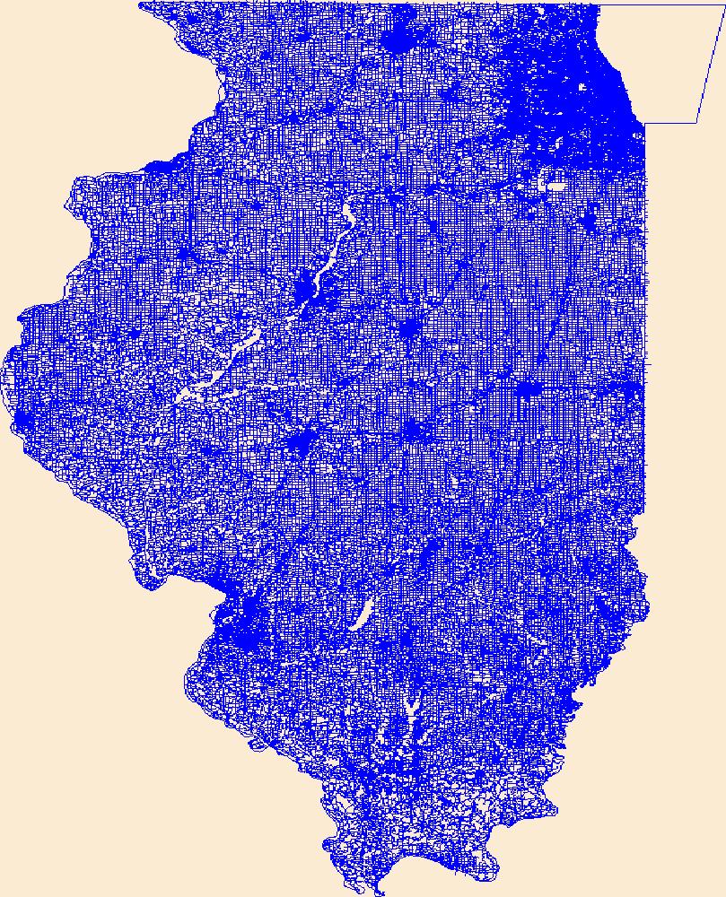
Layers of geospatial data include roads, airports, trails, and railroads.
Tags: Adams,
Airport Complex,
Airport Point,
Airport Runway,
Airports, All tags...
Airstrips,
Alexander,
Bond,
Boone,
Brown,
Bureau,
Calhoun,
Carroll,
Cass,
Champaign,
Christian,
Clark,
Clay,
Clinton,
Coles,
Cook,
Crawford,
Cumberland,
De Witt,
DeKalb,
Douglas,
Downloadable Data,
DuPage,
Edgar,
Edwards,
Effingham,
Esri File GeoDatabase 10,
Fayette,
FileGDB,
Ford,
Franklin,
Fulton,
Gallatin,
Geographic names,
Greene,
Grundy,
Hamilton,
Hancock,
Hardin,
Henderson,
Henry,
IL,
Illinois,
Iroquois,
Jackson,
Jasper,
Jefferson,
Jersey,
Jo Daviess,
Johnson,
Kane,
Kankakee,
Kendall,
Knox,
LaSalle,
Lake,
Lawrence,
Lee,
Livingston,
Logan,
Macon,
Macoupin,
Madison,
Marion,
Marshall,
Mason,
Massac,
McDonough,
McHenry,
McLean,
Menard,
Mercer,
Monroe,
Montgomery,
Morgan,
Moultrie,
National Transportation Dataset (NTD),
National Transportation Dataset (NTD),
Ogle,
Peoria,
Perry,
Piatt,
Pike,
Pope,
Pulaski,
Putnam,
Railways,
Randolph,
Richland,
Roads,
Rock Island,
Saline,
Sangamon,
Schuyler,
Scott,
Shelby,
St. Clair,
Stark,
State,
State,
Stephenson,
Tazewell,
Trail,
Trails,
Transportation,
Transportation,
US,
Union,
United States,
Vermilion,
Wabash,
Warren,
Washington,
Waterway,
Wayne,
White,
Whiteside,
Will,
Williamson,
Winnebago,
Woodford,
transportation, Fewer tags
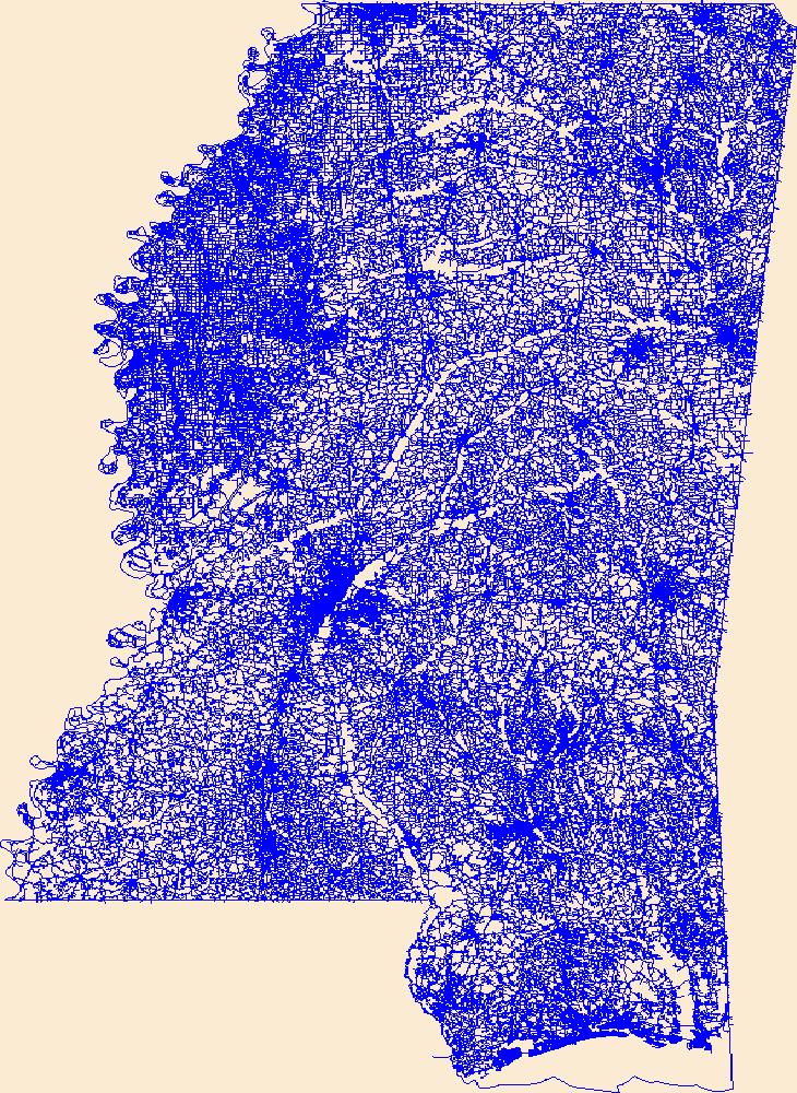
Layers of geospatial data include roads, airports, trails, and railroads.
Tags: Adams,
Airport Complex,
Airport Point,
Airport Runway,
Airports, All tags...
Airstrips,
Alcorn,
Amite,
Attala,
Benton,
Bolivar,
Calhoun,
Carroll,
Chickasaw,
Choctaw,
Claiborne,
Clarke,
Clay,
Coahoma,
Copiah,
Covington,
DeSoto,
Downloadable Data,
Esri Shapefile nan,
Forrest,
Franklin,
Geographic names,
George,
Greene,
Grenada,
Hancock,
Harrison,
Hinds,
Holmes,
Humphreys,
Issaquena,
Itawamba,
Jackson,
Jasper,
Jefferson,
Jefferson Davis,
Jones,
Kemper,
Lafayette,
Lamar,
Lauderdale,
Lawrence,
Leake,
Lee,
Leflore,
Lincoln,
Lowndes,
MS,
Madison,
Marion,
Marshall,
Mississippi,
Monroe,
Montgomery,
National Transportation Dataset (NTD),
National Transportation Dataset (NTD),
Neshoba,
Newton,
Noxubee,
Oktibbeha,
Panola,
Pearl River,
Perry,
Pike,
Pontotoc,
Prentiss,
Quitman,
Railways,
Rankin,
Roads,
Scott,
Shapefile,
Sharkey,
Simpson,
Smith,
State,
State,
Stone,
Sunflower,
Tallahatchie,
Tate,
Tippah,
Tishomingo,
Trail,
Trails,
Transportation,
Transportation,
Tunica,
US,
Union,
United States,
Walthall,
Warren,
Washington,
Waterway,
Wayne,
Webster,
Wilkinson,
Winston,
Yalobusha,
Yazoo,
transportation, Fewer tags

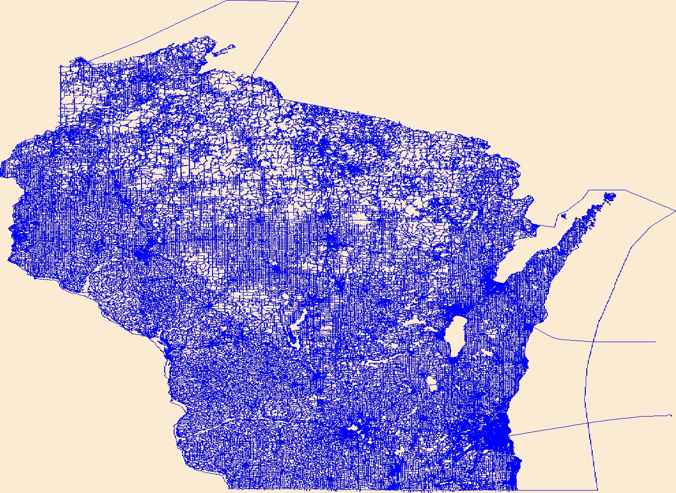
Layers of geospatial data include roads, airports, trails, and railroads.
Tags: Adams,
Airport Complex,
Airport Point,
Airport Runway,
Airports, All tags...
Airstrips,
Ashland,
Barron,
Bayfield,
Brown,
Buffalo,
Burnett,
Calumet,
Chippewa,
Clark,
Columbia,
Crawford,
Dane,
Dodge,
Door,
Douglas,
Downloadable Data,
Dunn,
Eau Claire,
Esri File GeoDatabase 10,
FileGDB,
Florence,
Fond du Lac,
Forest,
Geographic names,
Grant,
Green,
Green Lake,
Iowa,
Iron,
Jackson,
Jefferson,
Juneau,
Kenosha,
Kewaunee,
La Crosse,
Lafayette,
Langlade,
Lincoln,
Manitowoc,
Marathon,
Marinette,
Marquette,
Menominee,
Milwaukee,
Monroe,
National Transportation Dataset (NTD),
National Transportation Dataset (NTD),
Oconto,
Oneida,
Outagamie,
Ozaukee,
Pepin,
Pierce,
Polk,
Portage,
Price,
Racine,
Railways,
Richland,
Roads,
Rock,
Rusk,
Sauk,
Sawyer,
Shawano,
Sheboygan,
St. Croix,
State,
State,
Taylor,
Trail,
Trails,
Transportation,
Transportation,
Trempealeau,
US,
United States,
Vernon,
Vilas,
WI,
Walworth,
Washburn,
Washington,
Waterway,
Waukesha,
Waupaca,
Waushara,
Winnebago,
Wisconsin,
Wood,
transportation, Fewer tags
Layers of geospatial data include roads, airports, trails, and railroads.
Tags: Adams,
Airport Complex,
Airport Point,
Airport Runway,
Airports, All tags...
Airstrips,
Ashland,
Barron,
Bayfield,
Brown,
Buffalo,
Burnett,
Calumet,
Chippewa,
Clark,
Columbia,
Crawford,
Dane,
Dodge,
Door,
Douglas,
Downloadable Data,
Dunn,
Eau Claire,
Esri Shapefile nan,
Florence,
Fond du Lac,
Forest,
Geographic names,
Grant,
Green,
Green Lake,
Iowa,
Iron,
Jackson,
Jefferson,
Juneau,
Kenosha,
Kewaunee,
La Crosse,
Lafayette,
Langlade,
Lincoln,
Manitowoc,
Marathon,
Marinette,
Marquette,
Menominee,
Milwaukee,
Monroe,
National Transportation Dataset (NTD),
National Transportation Dataset (NTD),
Oconto,
Oneida,
Outagamie,
Ozaukee,
Pepin,
Pierce,
Polk,
Portage,
Price,
Racine,
Railways,
Richland,
Roads,
Rock,
Rusk,
Sauk,
Sawyer,
Shapefile,
Shawano,
Sheboygan,
St. Croix,
State,
State,
Taylor,
Trail,
Trails,
Transportation,
Transportation,
Trempealeau,
US,
United States,
Vernon,
Vilas,
WI,
Walworth,
Washburn,
Washington,
Waterway,
Waukesha,
Waupaca,
Waushara,
Winnebago,
Wisconsin,
Wood,
transportation, Fewer tags
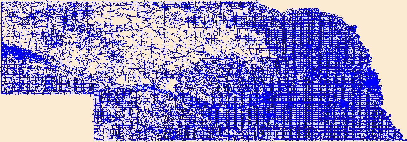
Layers of geospatial data include roads, airports, trails, and railroads.
Tags: Adams,
Airport Complex,
Airport Point,
Airport Runway,
Airports, All tags...
Airstrips,
Antelope,
Arthur,
Banner,
Blaine,
Boone,
Box Butte,
Boyd,
Brown,
Buffalo,
Burt,
Butler,
Cass,
Cedar,
Chase,
Cherry,
Cheyenne,
Clay,
Colfax,
Cuming,
Custer,
Dakota,
Dawes,
Dawson,
Deuel,
Dixon,
Dodge,
Douglas,
Downloadable Data,
Dundy,
Esri File GeoDatabase 10,
FileGDB,
Fillmore,
Franklin,
Frontier,
Furnas,
Gage,
Garden,
Garfield,
Geographic names,
Gosper,
Grant,
Greeley,
Hall,
Hamilton,
Harlan,
Hayes,
Hitchcock,
Holt,
Hooker,
Howard,
Jefferson,
Johnson,
Kearney,
Keith,
Keya Paha,
Kimball,
Knox,
Lancaster,
Lincoln,
Logan,
Loup,
Madison,
McPherson,
Merrick,
Morrill,
NE,
Nance,
National Transportation Dataset (NTD),
National Transportation Dataset (NTD),
Nebraska,
Nemaha,
Nuckolls,
Otoe,
Pawnee,
Perkins,
Phelps,
Pierce,
Platte,
Polk,
Railways,
Red Willow,
Richardson,
Roads,
Rock,
Saline,
Sarpy,
Saunders,
Scotts Bluff,
Seward,
Sheridan,
Sherman,
Sioux,
Stanton,
State,
State,
Thayer,
Thomas,
Thurston,
Trail,
Trails,
Transportation,
Transportation,
US,
United States,
Valley,
Washington,
Waterway,
Wayne,
Webster,
Wheeler,
York,
transportation, Fewer tags
|
|

