Filters: Tags: roads (X)
374 results (170ms)|
Filters
Date Range
Extensions Types Contacts
Categories Tag Types
|
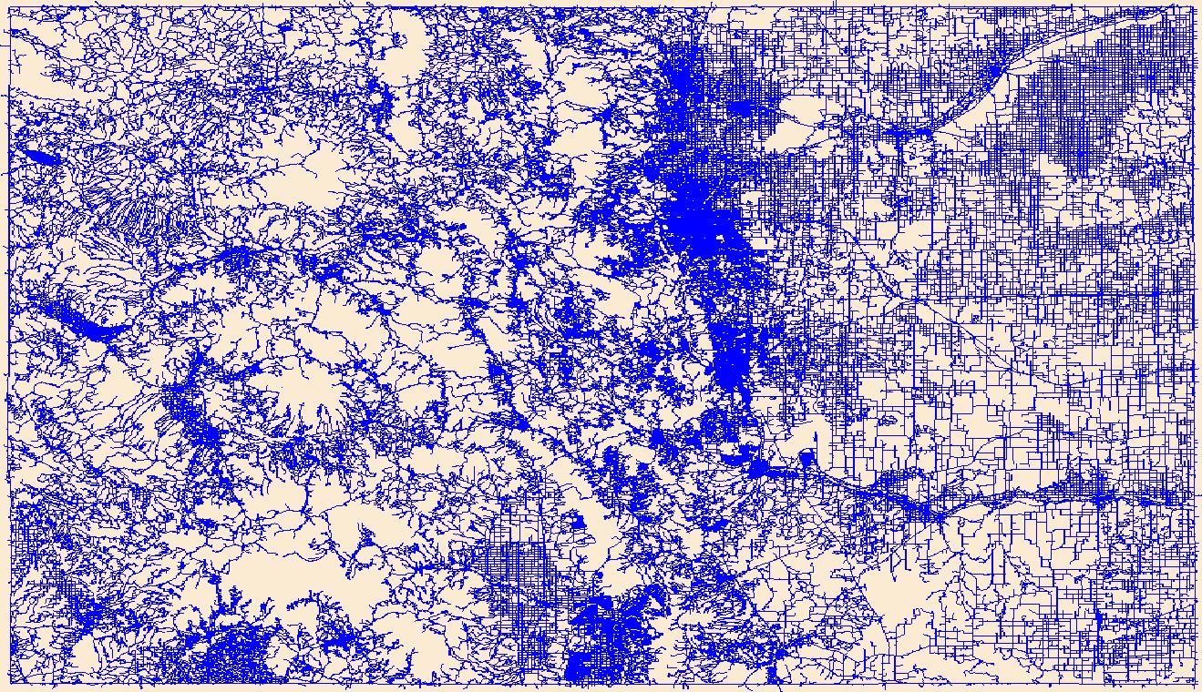
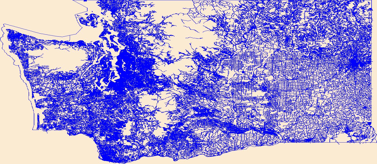
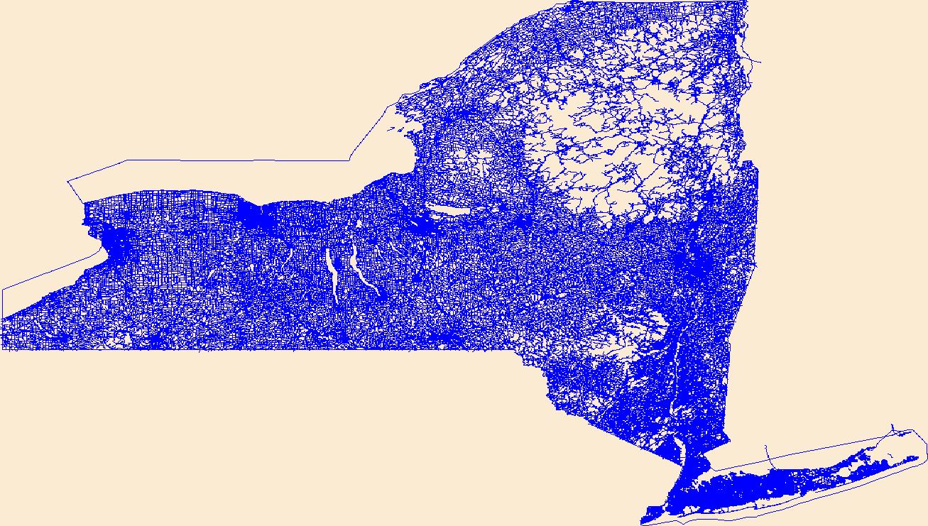
A vector line file of public/private streets compiled from orthoimagery and other sources that is attributed with street names, addresses, route numbers, routing attributes, and includes a related table of alternate/alias street names. If the purpose of using NYS Streets is for geocoding, the New York State Office of Information Technology Services (NYS ITS) has a publicly available geocoding service which includes the NYS Streets along with other layers. For more information about the geocoding service, please visit http://gis.ny.gov/gisdata/inventories/details.cfm?DSID=1278.
Categories: Data;
Types: ArcGIS REST Map Service,
ArcGIS Service Definition,
Citation,
Downloadable,
Map Service;
Tags: ALIS,
ALIS,
Accident Location Information System,
Accident Location Information System,
Centerline,
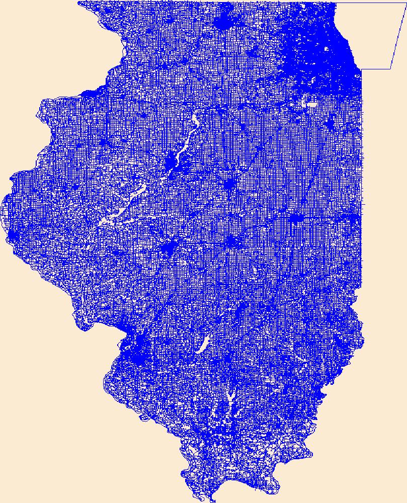
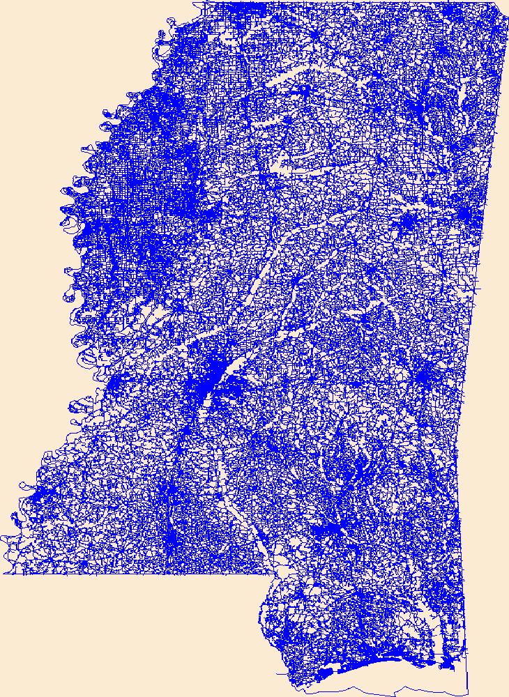
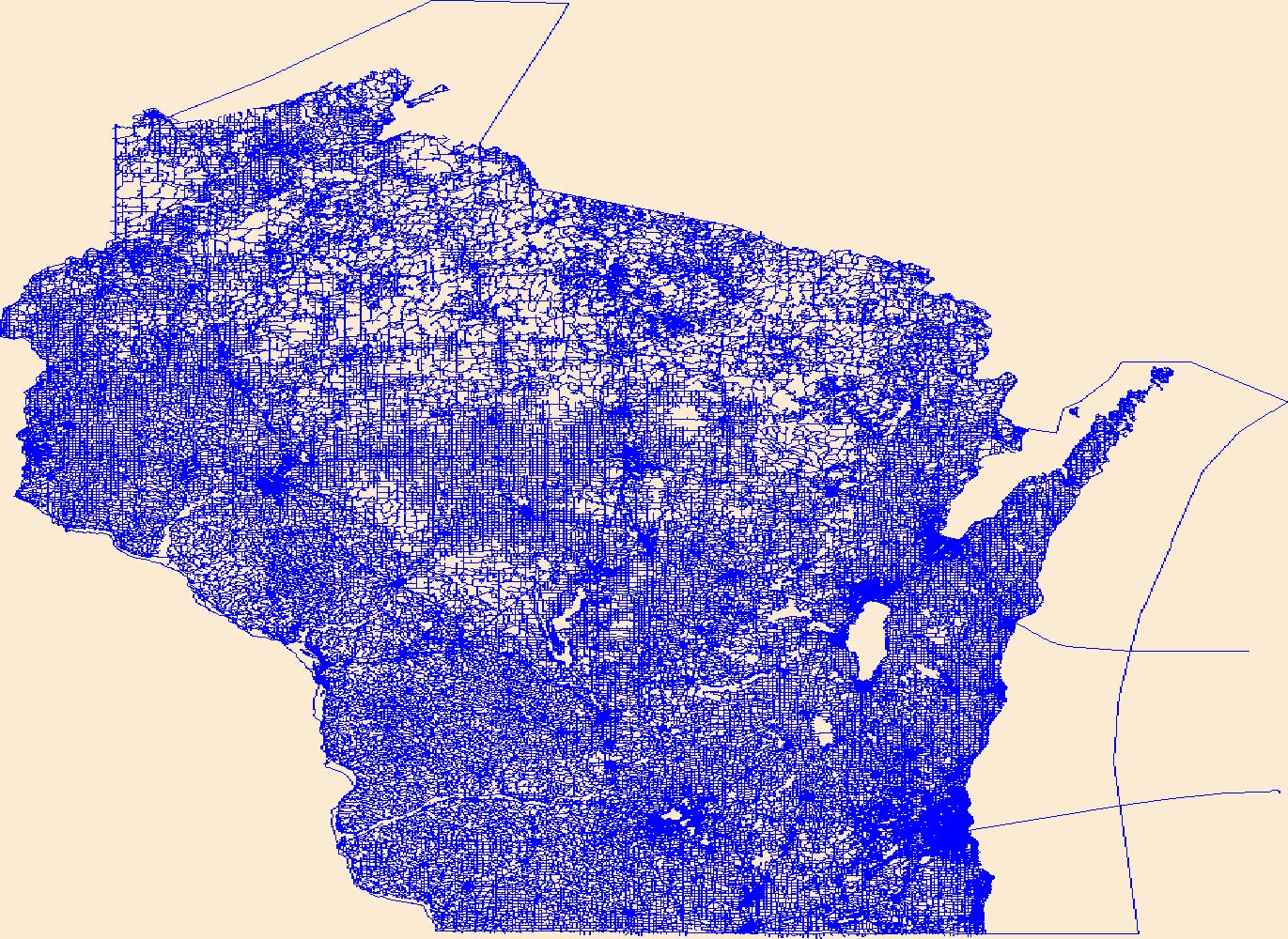
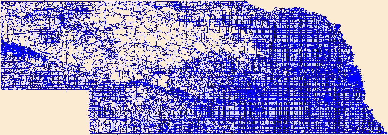
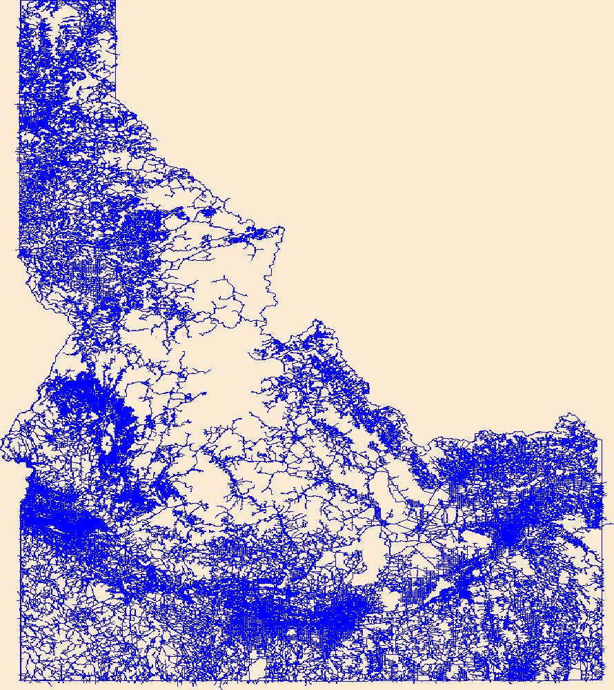
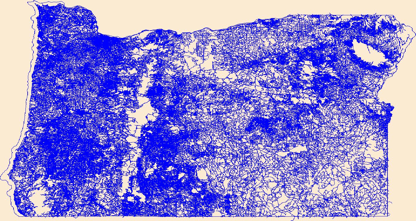
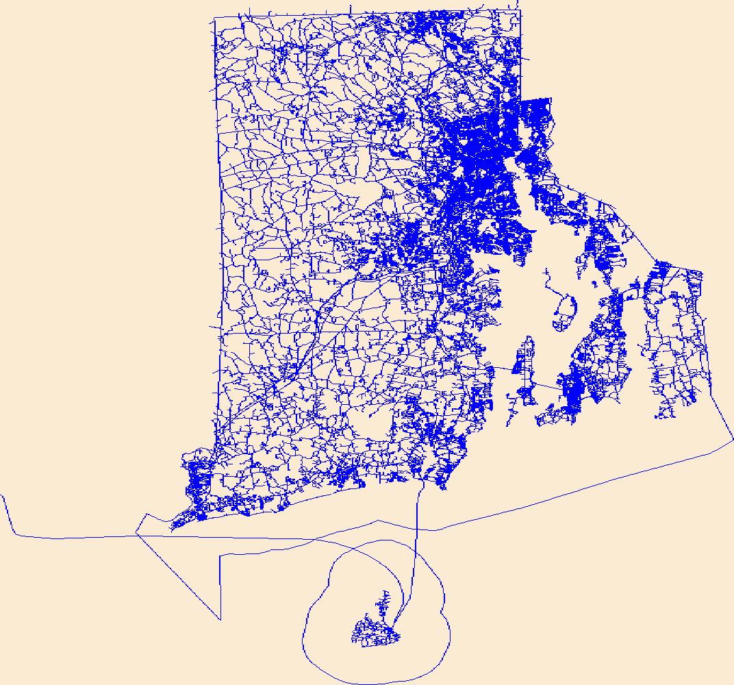
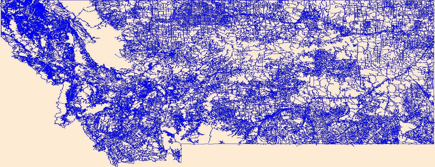
Layers of geospatial data include roads, airports, trails, and railroads.
Layers of geospatial data include roads, airports, trails, and railroads.

Layers of geospatial data include roads, airports, trails, and railroads.
Layers of geospatial data include roads, airports, trails, and railroads.
Layers of geospatial data include roads, airports, trails, and railroads.
Layers of geospatial data include roads, airports, trails, and railroads.
Layers of geospatial data include roads, airports, trails, and railroads.

Layers of geospatial data include roads, airports, trails, and railroads.
Layers of geospatial data include roads, airports, trails, and railroads.
Layers of geospatial data include roads, airports, trails, and railroads.
Layers of geospatial data include roads, airports, trails, and railroads.
Layers of geospatial data include roads, airports, trails, and railroads.
Layers of geospatial data include roads, airports, trails, and railroads.
Layers of geospatial data include roads, airports, trails, and railroads.
This dataset is one of a suite of products from the Nature’s Network project (naturesnetwork.org). Nature’s Network is a collaborative effort to identify shared priorities for conservation in the Northeast, considering the value of fish and wildlife species and the natural areas they inhabit. This dataset represents the relative potential to improve local aquatic connectivity by upgrading road-stream crossings. The model incorporates survey data from the North Atlantic Aquatic Connectivity Collaborative (NAACC). To view the current NAACC database go to https://streamcontinuity.org/database.htm. The Road Stream Crossing Upgrade Effects dataset and other datasets that augment or complement aquatic connectivity are...
Categories: Data;
Types: ArcGIS REST Map Service,
ArcGIS Service Definition,
Citation,
Downloadable,
Map Service;
Tags: Culverts,
Culverts,
Data,
LCC Network Science Catalog,
Nature’s Network,
This online database (https://www.streamcontinuity.org/cdb2/naacc_search_crossing.cfm) serves as a common repository for road-stream crossing assessment data assembled by the North Atlantic Aquatic Connectivity Collaborative (NAACC). Both a network of partners and a source of shared resources, the NAACC offers a collaborative framework for taking on the critical task of assessing and upgrading the hundreds of thousands of outdated road-stream crossings across the region that represent barriers to wildlife movement and pose flooding risks to communities. The NAACC offers training in standard protocols for conducting assessments, online tools for prioritizing upgrades based on ecological benefits, and this database...
Categories: Data,
Web Site;
Tags: LCC Network Science Catalog,
Web Site,
anadromous,
aquatic barriers,
aquatic connectivity,
Layers of geospatial data include roads, airports, trails, and railroads.
Conclusions: Grizzly bears can use roaded habitats, but spatial avoidance will increase and survival will decrease as traffic levels, road densities and human settlement increases. Road density standards and road closure programmes should be developed and that these programmes incorporate seasonal habitat requirements of grizzly bears. Thresholds/Learnings: More than 80% of bear sitings occurred in blocks of undisturbed habitat >900 ha Synopsis: The study examined the relationships between grizzly bears, habitat and roads in the Swan Mountains, Montana. The study showed complex spatial and temporal relationships between grizzly bears and habitat resources. Resource selection was expressed relative to strength...
Categories: Publication;
Types: Citation,
Map Service,
OGC WFS Layer,
OGC WMS Layer,
OGC WMS Service;
Tags: Crown of the Continent/Greater Yellowstone Ecoregion,
Land use configuration,
Montana,
Swan Mountain Range,
grizzly bears,
This report is synthesizes and summarizes major findings from literature relating to the direct and indirect ecological impacts of paved highways on birds. It represents a meta-analysis of contributing factors of road mortality, effects of roadway lighting, traffic noise, traffic volume, and roadway contaminants on bird populations, which may help guide conservation efforts within the Yellowstone to Yukon ecoregion. Traffic volume and noise are believed to be the most important factors affecting breeding bird population densities near roads. The number of affected species increases with traffic volume but the relationship appears to reach threshold at an average daily traffic volume of 30,000 vehicles a day. In...
|

|
