Filters: Tags: sonora (X)
232 results (48ms)|
Filters
Date Range
Extensions Types Contacts
Categories Tag Types
|
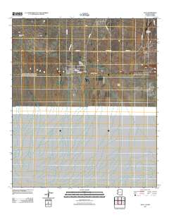
This data set contains imagery from the National Agriculture Imagery Program (NAIP). The NAIP program is administered by USDA FSA and has been established to support two main FSA strategic goals centered on agricultural production. These are, increase stewardship of America's natural resources while enhancing the environment, and to ensure commodities are procured and distributed effectively and efficiently to increase food security. The NAIP program supports these goals by acquiring and providing ortho imagery that has been collected during the agricultural growing season in the U.S. The NAIP ortho imagery is tailored to meet FSA requirements and is a fundamental tool used to support FSA farm and conservation programs....
This data set contains imagery from the National Agriculture Imagery Program (NAIP). The NAIP program is administered by USDA FSA and has been established to support two main FSA strategic goals centered on agricultural production. These are, increase stewardship of America's natural resources while enhancing the environment, and to ensure commodities are procured and distributed effectively and efficiently to increase food security. The NAIP program supports these goals by acquiring and providing ortho imagery that has been collected during the agricultural growing season in the U.S. The NAIP ortho imagery is tailored to meet FSA requirements and is a fundamental tool used to support FSA farm and conservation programs....
This data set contains imagery from the National Agriculture Imagery Program (NAIP). The NAIP program is administered by USDA FSA and has been established to support two main FSA strategic goals centered on agricultural production. These are, increase stewardship of America's natural resources while enhancing the environment, and to ensure commodities are procured and distributed effectively and efficiently to increase food security. The NAIP program supports these goals by acquiring and providing ortho imagery that has been collected during the agricultural growing season in the U.S. The NAIP ortho imagery is tailored to meet FSA requirements and is a fundamental tool used to support FSA farm and conservation programs....
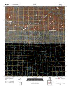
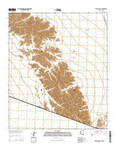
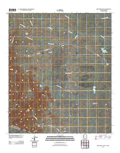
Layered GeoPDF 7.5 Minute Quadrangle Map. Layers of geospatial data include orthoimagery, roads, grids, geographic names, elevation contours, hydrography, and other selected map features.
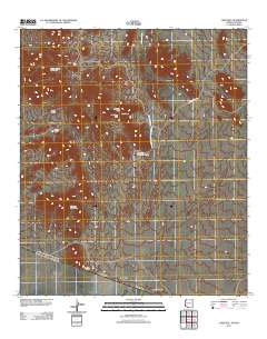
Layered GeoPDF 7.5 Minute Quadrangle Map. Layers of geospatial data include orthoimagery, roads, grids, geographic names, elevation contours, hydrography, and other selected map features.
Layered GeoPDF 7.5 Minute Quadrangle Map. Layers of geospatial data include orthoimagery, roads, grids, geographic names, elevation contours, hydrography, and other selected map features.
Layered GeoPDF 7.5 Minute Quadrangle Map. Layers of geospatial data include orthoimagery, roads, grids, geographic names, elevation contours, hydrography, and other selected map features.
Layered GeoPDF 7.5 Minute Quadrangle Map. Layers of geospatial data include orthoimagery, roads, grids, geographic names, elevation contours, hydrography, and other selected map features.
Layered GeoPDF 7.5 Minute Quadrangle Map. Layers of geospatial data include orthoimagery, roads, grids, geographic names, elevation contours, hydrography, and other selected map features.
Layered GeoPDF 7.5 Minute Quadrangle Map. Layers of geospatial data include orthoimagery, roads, grids, geographic names, elevation contours, hydrography, and other selected map features.
Understanding the physiological impacts of climate change on arid lands species is a critical step towards ensuring the resilience and persistence of such species under changing temperature and moisture regimes. Varying degrees of vulnerability among different species will largely determine their future distributions in the face of climate change. Studies have indicated that Northern Mexico and the Southwestern United States are likely to become climate change hotspots, experiencing significantly drier and warmer average conditions by the end of the 21st century. However, relatively few studies have examined specifically the physiological effects of climate change on species inhabiting this region. This manuscript...
Categories: Data,
Project;
Types: Map Service,
OGC WFS Layer,
OGC WMS Layer,
OGC WMS Service;
Tags: 2014,
AZ-01,
AZ-02,
AZ-03,
AZ-04,
Executive SummaryIn 2015 the Desert Landscape Conservation Cooperative (Desert LCC) made significant progress toward developing a climate smart Landscape Conservation Design for their geography. They developed a methodology for engaging interested partners in conservation planning, hosted two Landscape Conservation Design workshops (one in the U.S. and one in Mexico), developed an understanding of the highest impact pressures and stressors affecting focal ecosystems (springs, including aquatic and riparian resources, streams, including aquatic and riparian resources, and grasslands and shrublands), conducted outreach across the Desert LCC geography to familiarize partners with the Landscape Conservation Design approach...
Categories: Data;
Types: Map Service,
OGC WFS Layer,
OGC WMS Layer,
OGC WMS Service;
Tags: 2014,
AZ-01,
AZ-02,
AZ-03,
AZ-04,
The Desert LCC's primary goal for landscape conservation planning and design is to "add value to, and further our partner’s ongoing work to build resource resilience in the face of climate change and other ecosystem stressors."
Categories: Data;
Types: Map Service,
OGC WFS Layer,
OGC WMS Layer,
OGC WMS Service;
Tags: AZ-01,
AZ-02,
AZ-03,
AZ-04,
AZ-05,
This dataset provides location information and some limited attributes of known and potential ciénegas in the Madrean Archipelago ecoregion and closely surrounding area. This was created using point data and information provided by Dean Hendrickson and Thomas Minckley, combined with potential locations derived from analysis of classified raster land cover images and other specialized datasets. Ciénegas, as defined here, are wetlands in arid and semi-arid regions associated with groundwater or lotic components that ideally result in perennial waters on temporal scales of decades to centuries. Ciénegas are typically located at elevations ranging from 0 to 2000m. Ciénegas are typified by significant differences in...
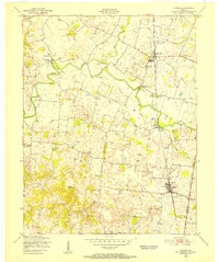
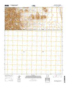
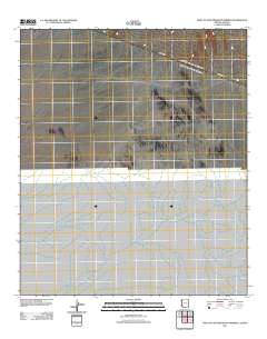
USGS Historical Quadrangle in GeoPDF.
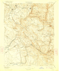
USGS Historical Quadrangle in GeoPDF.
DLCC’s Vegetation Map Pilot is a project envisioned initially as a supervised classification of two or three small areas of the DLCC. DLCC technical stakeholders advised changing from a supervised classification to an object oriented classification (OOC) method.This report presents the findings, feasibility, and lessons-learned during the exploration and object oriented classification process and results of the two sites on the United States-Mexico border, this is needed information before considering a full-scale, Vegetation Mapping Project, to include bigger areas or the totality of the Desert LCC region.
Categories: Data;
Tags: Academics & scientific researchers,
Aquascalientes,
Aquascalientes,
Arizona,
Arizona,
This data set contains imagery from the National Agriculture Imagery Program (NAIP). The NAIP program is administered by USDA FSA and has been established to support two main FSA strategic goals centered on agricultural production. These are, increase stewardship of America's natural resources while enhancing the environment, and to ensure commodities are procured and distributed effectively and efficiently to increase food security. The NAIP program supports these goals by acquiring and providing ortho imagery that has been collected during the agricultural growing season in the U.S. The NAIP ortho imagery is tailored to meet FSA requirements and is a fundamental tool used to support FSA farm and conservation programs....
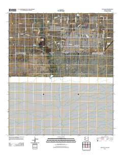
Layered GeoPDF 7.5 Minute Quadrangle Map. Layers of geospatial data include orthoimagery, roads, grids, geographic names, elevation contours, hydrography, and other selected map features.
|

|
