Filters: Tags: streams (X)
709 results (17ms)|
Filters
Date Range
Extensions
Types
Contacts
Categories
Tag Types
|
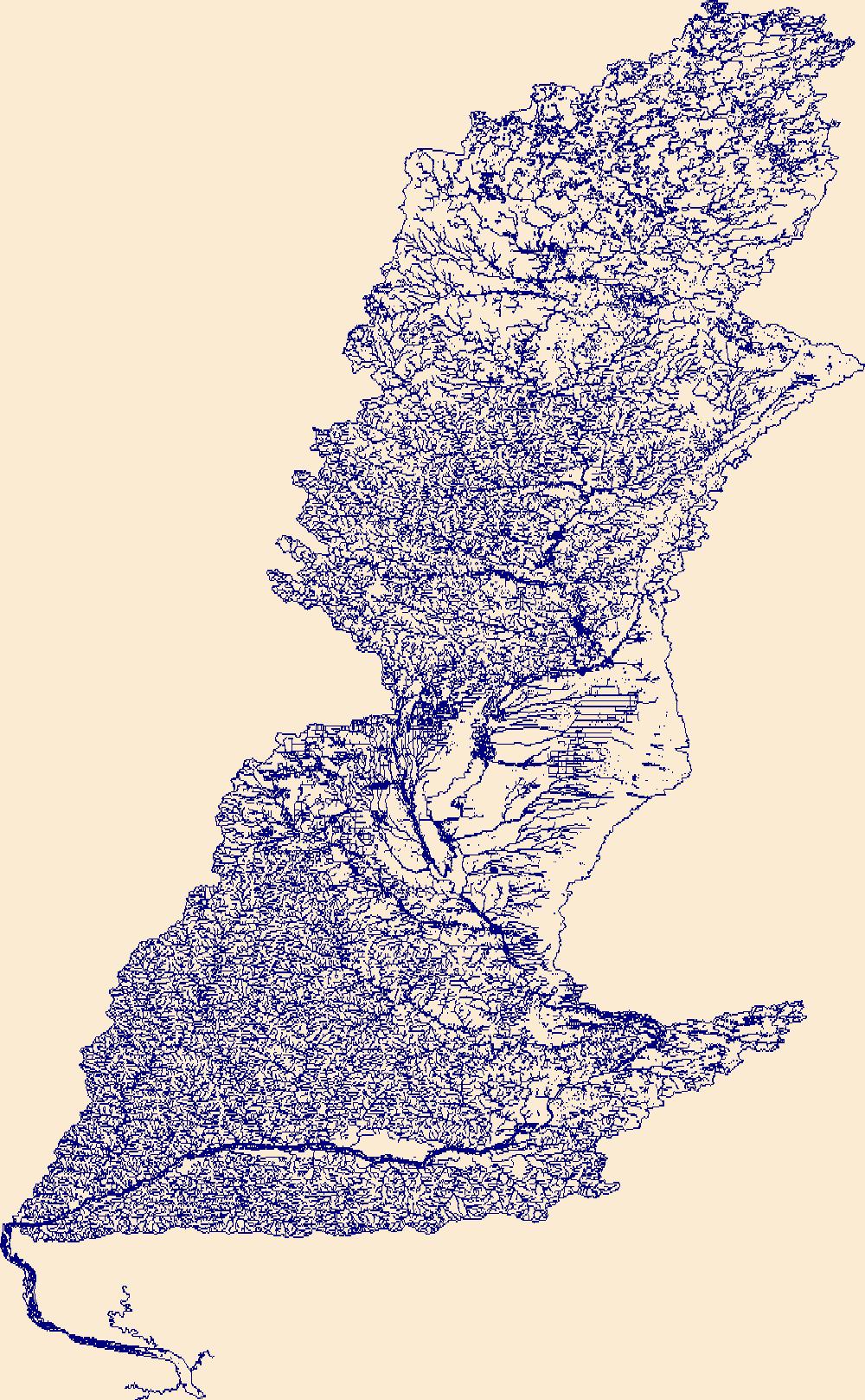
The High Resolution National Hydrography Dataset Plus (NHDPlus HR) is an integrated set of geospatial data layers, including the best available National Hydrography Dataset (NHD), the 10-meter 3D Elevation Program Digital Elevation Model (3DEP DEM), and the National Watershed Boundary Dataset (WBD). The NHDPlus HR combines the NHD, 3DEP DEMs, and WBD to create a stream network with linear referencing, feature naming, "value added attributes" (VAAs), elevation-derived catchments, and other features for hydrologic data analysis. The stream network with linear referencing is a system of data relationships applied to hydrographic systems so that one stream reach "flows" into another and "events" can be tied to and traced...

The High Resolution National Hydrography Dataset Plus (NHDPlus HR) is an integrated set of geospatial data layers, including the National Hydrography Dataset (NHD), National Watershed Boundary Dataset (WBD), and 3D Elevation Program Digital Elevation Model (3DEP DEM). The NHDPlus HR combines the NHD, 3DEP DEMs, and WBD to a data suite that includes the NHD stream network with linear referencing functionality, the WBD hydrologic units, elevation-derived catchment areas for each stream segment, "value added attributes" (VAAs), and other features that enhance hydrologic data analysis and routing.
The High Resolution National Hydrography Dataset Plus (NHDPlus HR) is an integrated set of geospatial data layers, including the best available National Hydrography Dataset (NHD), the 10-meter 3D Elevation Program Digital Elevation Model (3DEP DEM), and the National Watershed Boundary Dataset (WBD). The NHDPlus HR combines the NHD, 3DEP DEMs, and WBD to create a stream network with linear referencing, feature naming, "value added attributes" (VAAs), elevation-derived catchments, and other features for hydrologic data analysis. The stream network with linear referencing is a system of data relationships applied to hydrographic systems so that one stream reach "flows" into another and "events" can be tied to and traced...
The High Resolution National Hydrography Dataset Plus (NHDPlus HR) is an integrated set of geospatial data layers, including the best available National Hydrography Dataset (NHD), the 10-meter 3D Elevation Program Digital Elevation Model (3DEP DEM), and the National Watershed Boundary Dataset (WBD). The NHDPlus HR combines the NHD, 3DEP DEMs, and WBD to create a stream network with linear referencing, feature naming, "value added attributes" (VAAs), elevation-derived catchments, and other features for hydrologic data analysis. The stream network with linear referencing is a system of data relationships applied to hydrographic systems so that one stream reach "flows" into another and "events" can be tied to and traced...
The Streams and Rivers Condition Index is a broad ecological system index that classifies the landscape’s streams and river catchments into condition categories. The classification of the landscape in this manner is used to measure the relative departure of current wildlife habitat conditions from desired conditions as defined by parcel-level wildlife managers and landscape planners. The purpose of the index is to help practitioners determine appropriate next actions in each catchment, especially when used in conjunction with relevant species information. There are four condition categories, or classes, which range from the most ideal habitat conditions to the least ideal habitat conditions.
Categories: Data;
Types: Map Service,
OGC WFS Layer,
OGC WMS Layer,
OGC WMS Service;
Tags: AI,
AI,
Aquatics,
Aquatics,
Data,
IMPORTANT NOTE: More recent versions of these data release are available at this link. This dataset includes spatial locations where streamflow permanence observations (continuous flow, discontinuous flow, and dry) were recorded using the FLOwPER (FLOw PERmanence) field survey available in the Survey 123 and S1 mobile application. Additional information to describe the field conditions are included as part of the survey. Field observations in the FLOwPER Database have not been processed for quality control including spatial data accuracy or association with a stream network such as the National Hydrography Dataset. Streamflow permanence observations are collected from several governmental and non-governmental organizations...
This service definition contains landscape factors representing human disturbances summarized to local and network catchments of river reaches for the state of Rhode Island. This dataset is the result of clipping the feature class 'NFHAP 2010 HCI Scores and Human Disturbance Data for the Conterminous United States linked to NHDPLUSV1.gdb' to the state boundary of Rhode Island. Landscape factors include land uses, population density, roads, dams, mines, and point-source pollution sites. The source datasets that were compiled and attributed to catchments were identified as being: (1) meaningful for assessing fish habitat; (2) consistent across the entire study area in the way that they were assembled; (3) representative...
Categories: Data;
Types: ArcGIS REST Map Service,
ArcGIS Service Definition,
Downloadable,
Map Service;
Tags: Anthropogenic factors,
Aquatic habitats,
Atlantic Coast FHP,
Catchment areas,
Connecticut,
This service definition contains landscape factors representing human disturbances summarized to local and network catchments of river reaches for the state of Kansas. This dataset is the result of clipping the feature class 'NFHAP 2010 HCI Scores and Human Disturbance Data for the Conterminous United States linked to NHDPLUSV1.gdb' to the state boundary of Kansas. Landscape factors include land uses, population density, roads, dams, mines, and point-source pollution sites. The source datasets that were compiled and attributed to catchments were identified as being: (1) meaningful for assessing fish habitat; (2) consistent across the entire study area in the way that they were assembled; (3) representative of conditions...
Categories: Data;
Types: ArcGIS REST Map Service,
ArcGIS Service Definition,
Downloadable,
Map Service;
Tags: Anthropogenic factors,
Aquatic habitats,
Atlantic Coast FHP,
Catchment areas,
Connecticut,
This service definition contains landscape factors representing human disturbances summarized to local and network catchments of river reaches for the state of Iowa. This dataset is the result of clipping the feature class 'NFHAP 2010 HCI Scores and Human Disturbance Data for the Conterminous United States linked to NHDPLUSV1.gdb' to the state boundary of Iowa. Landscape factors include land uses, population density, roads, dams, mines, and point-source pollution sites. The source datasets that were compiled and attributed to catchments were identified as being: (1) meaningful for assessing fish habitat; (2) consistent across the entire study area in the way that they were assembled; (3) representative of conditions...
Categories: Data;
Types: ArcGIS REST Map Service,
ArcGIS Service Definition,
Downloadable,
Map Service;
Tags: Anthropogenic factors,
Aquatic habitats,
Atlantic Coast FHP,
Catchment areas,
Connecticut,
Citation: Manomet Center for Conservation Sciences and the National Wildlife Federation. 2013. Climate change and riverine cold water fish habitat in the Northeast: a vulnerability assessment review. A report to the Northeastern Association of Fish and Wildlife Agencies and the North Atlantic Landscape Conservation Cooperative. Manomet, Plymouth, MA. If we are to anticipate and mitigate the potential impacts of climate change on organisms and their habitats it is vital that we understand their relative vulnerabilities. In this analysis, we attempt to estimate the likely vulnerability to climate change of riverine habitat for cold water fish in the Northeast. These fish are recreationally, economically, and culturally...
Categories: Data;
Tags: Data,
LCC Network Science Catalog,
North Atlantic Landscape Conservation Cooperative Data.gov,
Report,
climate change,
This dataset is one of a suite of products from the Nature’s Network project (naturesnetwork.org). Nature’s Network is a collaborative effort to identify shared priorities for conservation in the Northeast, considering the value of fish and wildlife species and the natural areas they inhabit. This dataset represents the relative potential to improve local aquatic connectivity by upgrading road-stream crossings. The model incorporates survey data from the North Atlantic Aquatic Connectivity Collaborative (NAACC). To view the current NAACC database go to https://streamcontinuity.org/database.htm. The Road Stream Crossing Upgrade Effects dataset and other datasets that augment or complement aquatic connectivity are...
Categories: Data;
Types: ArcGIS REST Map Service,
ArcGIS Service Definition,
Citation,
Downloadable,
Map Service;
Tags: Culverts,
Culverts,
Data,
LCC Network Science Catalog,
Nature’s Network,
This online database (https://www.streamcontinuity.org/cdb2/naacc_search_crossing.cfm) serves as a common repository for road-stream crossing assessment data assembled by the North Atlantic Aquatic Connectivity Collaborative (NAACC). Both a network of partners and a source of shared resources, the NAACC offers a collaborative framework for taking on the critical task of assessing and upgrading the hundreds of thousands of outdated road-stream crossings across the region that represent barriers to wildlife movement and pose flooding risks to communities. The NAACC offers training in standard protocols for conducting assessments, online tools for prioritizing upgrades based on ecological benefits, and this database...
Categories: Data,
Web Site;
Tags: LCC Network Science Catalog,
Web Site,
anadromous,
aquatic barriers,
aquatic connectivity,
This map depicts the Rivers and Streams Conservation Asset for Florida with road barriers from the Southeast Aquatic Barriers Tool. The number of miles that could be gained through conservation action to remove obstructions are summarized by HUC12 watershed units. River/Stream Connectivity is an ecological indicator for the Landscape Conservation Project for Florida. The project entails a large-scale assessment of and planning for the health of important natural resources, known as Conservation Assets (CAs), in Florida. Conservation planning at the landscape scale provides a framework for safeguarding functional ecosystems, and their interconnected processes necessary to achieve true preservation of healthy resources....
Categories: Data;
Types: ArcGIS REST Map Service,
ArcGIS Service Definition,
Downloadable,
Map Service;
Tags: Barriers,
Florida,
Rivers,
Road Crossings,
SARP,
This study set out to answer the question: “What data and modeling frameworks are needed to provide scientists reliable, climate-informed, water temperature estimates for freshwater ecosystems that can assist watershed management decision making?” To accomplish this, researchers gathered existing stream temperature data, identified data gaps, deployed stream temperature monitoring devices, and developed and tested a stream temperature model that could be regionalized across the Northeast Climate Science Center (NE CSC) domain. Polebitski and colleagues partnered with another NE CSC funded project team, NorEaST-Stream Temperature Web Portal Demonstration and Application, led by Jana Stewart (USGS Wisconsin Water...
Categories: Publication;
Types: Citation;
Tags: Data Visualization & Tools,
Freshwater,
Modeling,
Northeast CASC,
Science Tools For Managers,
Daily maximum water temperature predictions in the Delaware River Basin (DRB) can inform decision makers who can use cold-water reservoir releases to maintain thermal habitat for sensitive fish species. This data release contains the forcings and outputs of 7-day ahead maximum water temperature forecasting models that makes predictions at 70 river reaches in the upper DRB. The modeling approach includes process-guided deep learning and data assimilation (Zwart et al., 2023). The model is driven by weather forecasts and observed reservoir releases and produces maximum water temperature forecasts for the issue day (day 0) and 7 days into the future (days 1-7). In combination with data provided in Oliver et al. (2022),...
This dataset was created to support the Washington D.C. StreamStats project funded by the Washington D.C. Department of Energy and Environment (DOEE). The dataset contains digital elevation model (DEM), flow direction and catchment layers that were conditioned using Washingtons D.C.’s stormwater network layer. The data are hosted online as a component of the USGS StreamStats web application (https://streamstats.usgs.gov), where users can interact with a map of Washington D.C.’s stormwater pipe system and National Hydrography Dataset (NHD) “best resolution” blue lines to delineate drainage basins that account for pipe flow. This project utilized 1-meter (high resolution) terrain products, which improves upon existing...
Water-quality samples were collected at 49 surface water sites covering a range of land uses across the state of Iowa starting the summer of 2022 and continuing into the spring of 2023 by staff from the U.S. Geological Survey Central Midwest Water Science Center. Samples were submitted to the National Water Quality Laboratory in Denver, Colorado, and were analyzed for 32 per- and polyfluoroalkyl substances. Additional samples for N-(1,3-Dimethylbutyl)-N’-phenyl-p-phenylenediamine (6PPD) and 6PPD-Quinone were sent from a subset of the sites to the Organic Geochemistry Research Laboratory in Lawrence, Kansas.
Crucial stream/river corridors for aquatic species in Wyoming at a scale of 1:100,000. Data is current as of 2007; please check with the Wymoing Game and Fish Department for any potential updates to this dataset: https://wgfd.wyo.gov/Wildlife-in-Wyoming/Geospatial-Data/Habitat-GIS-Information
Categories: Data,
Publication;
Types: ArcGIS REST Map Service,
ArcGIS Service Definition,
Citation,
Downloadable,
Map Service;
Tags: Biota,
Corridors,
Crucial stream corridors,
Rivers,
Streams,
This dataset represents freshwater streams on the Chugach National Forest, Alaska. Streams were digitized from 1:31,380 orthophoto quads. Estuarine channel types may extend beyond shoreline. Selected stream arcs on Cordova Ranger District updated October and November 2002. Presence of fish species and stream class were updated.
The NetMap concept is based on standardized, contiguous digital map databases that interact with a plug & play analysis tool library (erosion, stream temperature, in-stream wood etc.) to create customizable analysis platforms for decision support in a wide range of natural resource activities. Refer to the 2009 American Geophysical Union article on “the future of applied watershed science at regional scales” for additional information (available for download at the bottom of NetMap’s home page). The uniform, contiguous and attributed stream map databases can be downloaded, and then adjusted with respect to locations of channel heads, drainage density and the length scales of stream networks (default stream segment...
|

|
