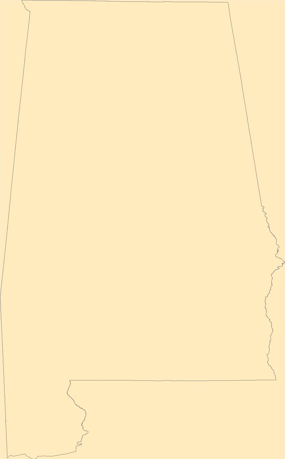
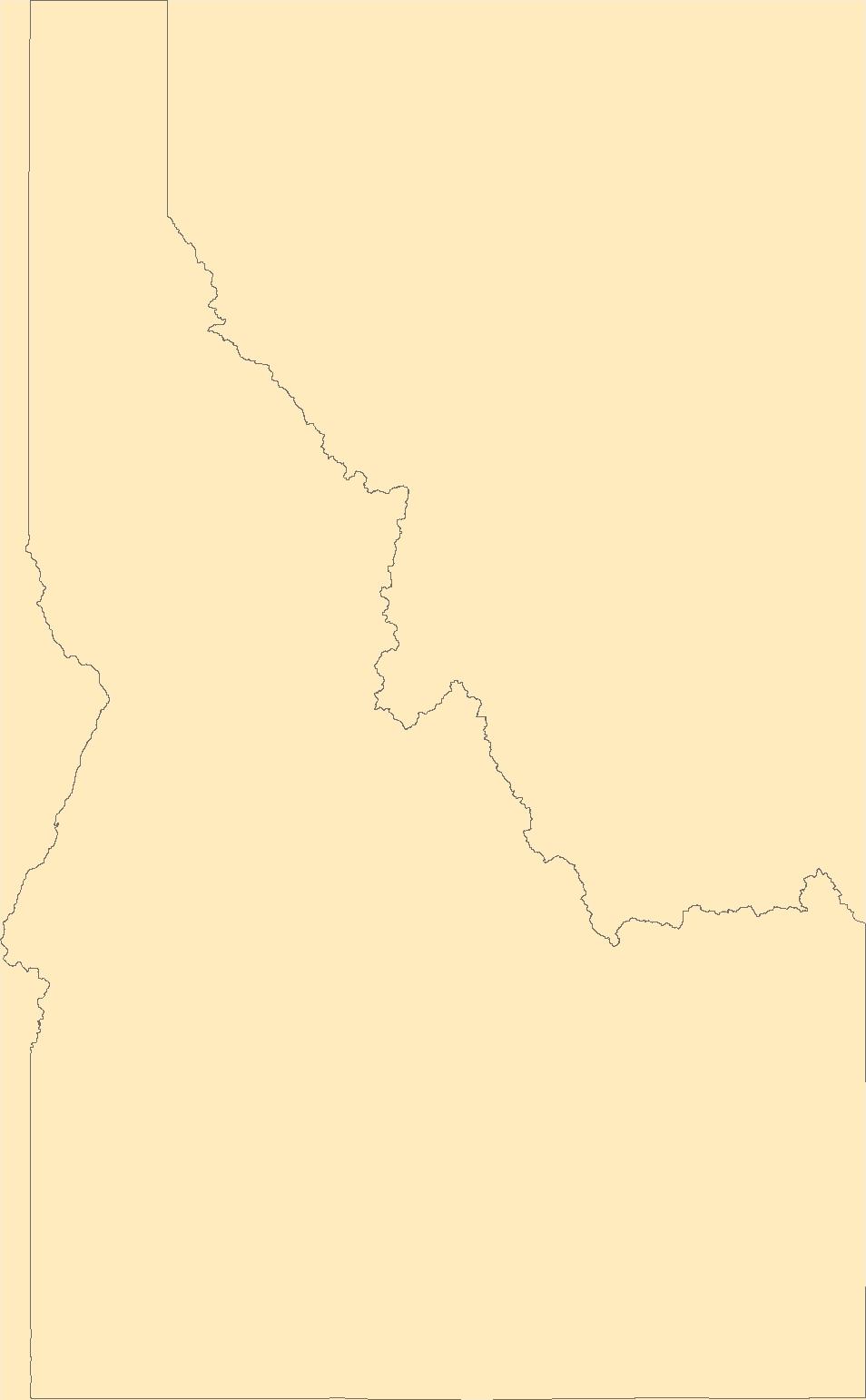
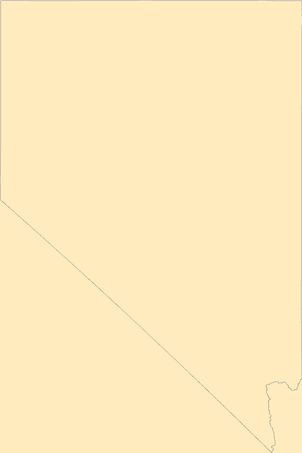
Filters: Tags: topographic map (X)
452 results (18ms)|
Filters
Date Range
Extensions (Less) Types (Less)
Contacts (Less)
Categories (Less) Tag Types
|
Montana Bureau of Mines and Geology, John W. Taber Collection, Map ID 55436
Categories: Physical Item;
Tags: TOPOGRAPHIC MAP
In advance of design, permitting, and construction of a pipeline to deliver North Slope natural gas to out-of-state customers and Alaska communities, the Division of Geological & Geophysical Surveys (DGGS) has acquired lidar (light detection and ranging) data along proposed pipeline routes, nearby areas of infrastructure, and regions where significant geologic hazards have been identified. Lidar data will serve multiple purposes, but have primarily been collected to (1) evaluate active faulting, slope instability, thaw settlement, erosion, and other engineering constraints along proposed pipeline routes, and (2) provide a base layer for the state-federal GIS database that will be used to evaluate permit applications...
In advance of design, permitting, and construction of a pipeline to deliver North Slope natural gas to out-of-state customers and Alaska communities, the Division of Geological & Geophysical Surveys (DGGS) has acquired lidar (light detection and ranging) data along proposed pipeline routes, nearby areas of infrastructure, and regions where significant geologic hazards have been identified. Lidar data will serve multiple purposes, but have primarily been collected to (1) evaluate active faulting, slope instability, thaw settlement, erosion, and other engineering constraints along proposed pipeline routes, and (2) provide a base layer for the state-federal GIS database that will be used to evaluate permit applications...
This dataset is comprised of a vector topographic and hydrologic base map illustrating the Kavik River map area, including the Mount Michelson C-5 and B-5 Quadrangles and portions of the Mount Michelson C-4 and B-4 Quadrangles. The geospatial data in this dataset were vectorized from scanned raster topographic maps published by the U.S. Geological Survey.
Montana Bureau of Mines and Geology, John W. Taber Collection, Map ID 52956
Categories: Physical Item;
Tags: TOPOGRAPHIC MAP
In advance of design, permitting, and construction of a pipeline to deliver North Slope natural gas to out-of-state customers and Alaska communities, the Division of Geological & Geophysical Surveys (DGGS) has acquired lidar (light detection and ranging) data along proposed pipeline routes, nearby areas of infrastructure, and regions where significant geologic hazards have been identified. Lidar data will serve multiple purposes, but have primarily been collected to (1) evaluate active faulting, slope instability, thaw settlement, erosion, and other engineering constraints along proposed pipeline routes, and (2) provide a base layer for the state-federal GIS database that will be used to evaluate permit applications...
Ramsey Quadrangle, NJ-NY 7.5 Minute Series (topographic map) with field notes
Categories: Physical Item;
Tags: Topographic map
Franklin Quadrangle, NJ 7.5 Minute series (topographic map) with field notes
Categories: Physical Item;
Tags: Topographic map
The Geographic Names Information System (GNIS) is the Federal standard for geographic nomenclature. The U.S. Geological Survey developed the GNIS for the U.S. Board on Geographic Names, a Federal inter-agency body chartered by public law to maintain uniform feature name usage throughout the Government and to promulgate standard names to the public. The GNIS is the official repository of domestic geographic names data; the official vehicle for geographic names use by all departments of the Federal Government; and the source for applying geographic names to Federal electronic and printed products of all types. See http://geonames.usgs.gov for additional information.
The Geographic Names Information System (GNIS) is the Federal standard for geographic nomenclature. The U.S. Geological Survey developed the GNIS for the U.S. Board on Geographic Names, a Federal inter-agency body chartered by public law to maintain uniform feature name usage throughout the Government and to promulgate standard names to the public. The GNIS is the official repository of domestic geographic names data; the official vehicle for geographic names use by all departments of the Federal Government; and the source for applying geographic names to Federal electronic and printed products of all types. See http://geonames.usgs.gov for additional information.
The Geographic Names Information System (GNIS) is the Federal standard for geographic nomenclature. The U.S. Geological Survey developed the GNIS for the U.S. Board on Geographic Names, a Federal inter-agency body chartered by public law to maintain uniform feature name usage throughout the Government and to promulgate standard names to the public. The GNIS is the official repository of domestic geographic names data; the official vehicle for geographic names use by all departments of the Federal Government; and the source for applying geographic names to Federal electronic and printed products of all types. See http://geonames.usgs.gov for additional information.
The Geographic Names Information System (GNIS) is the Federal standard for geographic nomenclature. The U.S. Geological Survey developed the GNIS for the U.S. Board on Geographic Names, a Federal inter-agency body chartered by public law to maintain uniform feature name usage throughout the Government and to promulgate standard names to the public. The GNIS is the official repository of domestic geographic names data; the official vehicle for geographic names use by all departments of the Federal Government; and the source for applying geographic names to Federal electronic and printed products of all types. See http://geonames.usgs.gov for additional information.
The Geographic Names Information System (GNIS) is the Federal standard for geographic nomenclature. The U.S. Geological Survey developed the GNIS for the U.S. Board on Geographic Names, a Federal inter-agency body chartered by public law to maintain uniform feature name usage throughout the Government and to promulgate standard names to the public. The GNIS is the official repository of domestic geographic names data; the official vehicle for geographic names use by all departments of the Federal Government; and the source for applying geographic names to Federal electronic and printed products of all types. See http://geonames.usgs.gov for additional information.
The Geographic Names Information System (GNIS) is the Federal standard for geographic nomenclature. The U.S. Geological Survey developed the GNIS for the U.S. Board on Geographic Names, a Federal inter-agency body chartered by public law to maintain uniform feature name usage throughout the Government and to promulgate standard names to the public. The GNIS is the official repository of domestic geographic names data; the official vehicle for geographic names use by all departments of the Federal Government; and the source for applying geographic names to Federal electronic and printed products of all types. See http://geonames.usgs.gov for additional information.
The Geographic Names Information System (GNIS) is the Federal standard for geographic nomenclature. The U.S. Geological Survey developed the GNIS for the U.S. Board on Geographic Names, a Federal inter-agency body chartered by public law to maintain uniform feature name usage throughout the Government and to promulgate standard names to the public. The GNIS is the official repository of domestic geographic names data; the official vehicle for geographic names use by all departments of the Federal Government; and the source for applying geographic names to Federal electronic and printed products of all types. See http://geonames.usgs.gov for additional information.

The Geographic Names Information System (GNIS) is the Federal standard for geographic nomenclature. The U.S. Geological Survey developed the GNIS for the U.S. Board on Geographic Names, a Federal inter-agency body chartered by public law to maintain uniform feature name usage throughout the Government and to promulgate standard names to the public. The GNIS is the official repository of domestic geographic names data; the official vehicle for geographic names use by all departments of the Federal Government; and the source for applying geographic names to Federal electronic and printed products of all types.

The Geographic Names Information System (GNIS) is the Federal standard for geographic nomenclature. The U.S. Geological Survey developed the GNIS for the U.S. Board on Geographic Names, a Federal inter-agency body chartered by public law to maintain uniform feature name usage throughout the Government and to promulgate standard names to the public. The GNIS is the official repository of domestic geographic names data; the official vehicle for geographic names use by all departments of the Federal Government; and the source for applying geographic names to Federal electronic and printed products of all types.
The Geographic Names Information System (GNIS) is the Federal standard for geographic nomenclature. The U.S. Geological Survey developed the GNIS for the U.S. Board on Geographic Names, a Federal inter-agency body chartered by public law to maintain uniform feature name usage throughout the Government and to promulgate standard names to the public. The GNIS is the official repository of domestic geographic names data; the official vehicle for geographic names use by all departments of the Federal Government; and the source for applying geographic names to Federal electronic and printed products of all types.
The Geographic Names Information System (GNIS) is the Federal standard for geographic nomenclature. The U.S. Geological Survey developed the GNIS for the U.S. Board on Geographic Names, a Federal inter-agency body chartered by public law to maintain uniform feature name usage throughout the Government and to promulgate standard names to the public. The GNIS is the official repository of domestic geographic names data; the official vehicle for geographic names use by all departments of the Federal Government; and the source for applying geographic names to Federal electronic and printed products of all types.
The Geographic Names Information System (GNIS) is the Federal standard for geographic nomenclature. The U.S. Geological Survey developed the GNIS for the U.S. Board on Geographic Names, a Federal inter-agency body chartered by public law to maintain uniform feature name usage throughout the Government and to promulgate standard names to the public. The GNIS is the official repository of domestic geographic names data; the official vehicle for geographic names use by all departments of the Federal Government; and the source for applying geographic names to Federal electronic and printed products of all types.
|

|
