Filters: Tags: tower (X)
28 results (148ms)|
Filters
Date Range
Extensions Types
Contacts
Categories Tag Types Tag Schemes |
This data set contains imagery from the National Agriculture Imagery Program (NAIP). The NAIP program is administered by USDA FSA and has been established to support two main FSA strategic goals centered on agricultural production. These are increase stewardship of America's natural resources while enhancing the environment, and to ensure commodities are procured and distributed effectively and efficiently to increase food security. The NAIP program supports these goals by acquiring and providing ortho imagery that has been collected during the agricultural growing season in the U.S. The NAIP ortho imagery is tailored to meet FSA requirements and is a fundamental tool used to support FSA farm and conservation programs....
This data set contains imagery from the National Agriculture Imagery Program (NAIP). The NAIP program is administered by USDA FSA and has been established to support two main FSA strategic goals centered on agricultural production. These are increase stewardship of America's natural resources while enhancing the environment, and to ensure commodities are procured and distributed effectively and efficiently to increase food security. The NAIP program supports these goals by acquiring and providing ortho imagery that has been collected during the agricultural growing season in the U.S. The NAIP ortho imagery is tailored to meet FSA requirements and is a fundamental tool used to support FSA farm and conservation programs....
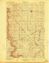
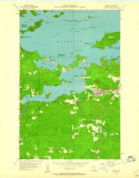
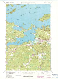
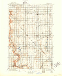
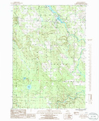
USGS Historical Quadrangle in GeoPDF.
The Wyoming wind turbine data set was developed for the project "Seasonal predictive habitat models for Greater Sage-grouse in Wyoming". This project is aimed at developing spatially-explicit seasonal distribution models for Sage-Grouse in Wyoming, which will provide resource managers tools for conservation planning. These specific data are being used for assessing the impact of disturbance resulting from wind energy development within Wyoming on sage-grouse populations. Additionally, this data will also support the Wyoming Landscape Conservation Initiative (WLCI). WLCI is a long-term, science-based, collaborative effort to ensure that the Southwest Wyoming's wildlife and its habitats are sustained over time with...
Types: Map Service,
OGC WFS Layer,
OGC WMS Layer,
OGC WMS Service;
Tags: Development,
Energy,
Tower,
Turbine,
Turbines,
Communication antenna towers recorded by the U.S. Federal Communications Commission's International Bureau Filing System (IBFS) - 47 CFR Parts 73/74, 23 and 25 (Earth Stations). Note that not all antennas and towers are required to be registered with the FCC. Therefore, this data set does not necessarily depict ALL communication features actually present on the landscape. The source data are updated daily by the FCC as new permits are issued. However, this data set is designed for a specific analysis, and is planned to remain static as of the publication date (11/06/2003).
Categories: Data;
Types: Downloadable,
Map Service,
OGC WFS Layer,
OGC WMS Layer,
Shapefile;
Tags: Antenna,
Communication,
Federal Communication Commission,
IBFS,
International Bureau Filing System,
This data set contains imagery from the National Agriculture Imagery Program (NAIP). The NAIP program is administered by USDA FSA and has been established to support two main FSA strategic goals centered on agricultural production. These are, increase stewardship of America's natural resources while enhancing the environment, and to ensure commodities are procured and distributed effectively and efficiently to increase food security. The NAIP program supports these goals by acquiring and providing ortho imagery that has been collected during the agricultural growing season in the U.S. The NAIP ortho imagery is tailored to meet FSA requirements and is a fundamental tool used to support FSA farm and conservation programs....
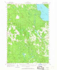
USGS Historical Quadrangle in GeoPDF.
This data set contains imagery from the National Agriculture Imagery Program (NAIP). The NAIP program is administered by USDA FSA and has been established to support two main FSA strategic goals centered on agricultural production. These are, increase stewardship of America's natural resources while enhancing the environment, and to ensure commodities are procured and distributed effectively and efficiently to increase food security. The NAIP program supports these goals by acquiring and providing ortho imagery that has been collected during the agricultural growing season in the U.S. The NAIP ortho imagery is tailored to meet FSA requirements and is a fundamental tool used to support FSA farm and conservation programs....
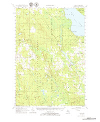
USGS Historical Quadrangle in GeoPDF.
This dataset was extracted by FCC from their database. This dataset and related datasets from the FCC include categories such as: FCC licensing database extracts, FCC licensin market boundaries, US boundaries and features. With these data sets, you will be able to determine the locations and limited technical details of existing towers the FCC collects data on (i.e. Cellular, Paging, Microwave, AM, FM, etc...). This information can be extremely helpful in conducting analysis such as; current service deployment, need/feasibility determinations of new services, co-location of antenna structures, inventorying of structures, network planning, etc. The Wireless Telecommunications Bureau (WTB) handles all FCC domestic...
USGS Historical Quadrangle in GeoPDF.
USGS Historical Quadrangle in GeoPDF.
USGS Historical Quadrangle in GeoPDF.
USGS Historical Quadrangle in GeoPDF.
This dataset was extracted by FCC from their database. This dataset and related datasets from the FCC include categories such as: FCC licensing database extracts, FCC licensin market boundaries, US boundaries and features. With these data sets, you will be able to determine the locations and limited technical details of existing towers the FCC collects data on (i.e. Cellular, Paging, Microwave, AM, FM, etc...). This information can be extremely helpful in conducting analysis such as; current service deployment, need/feasibility determinations of new services, co-location of antenna structures, inventorying of structures, network planning, etc. The Wireless Telecommunications Bureau (WTB) handles all FCC domestic...

USGS Historical Quadrangle in GeoPDF.
This data set contains imagery from the National Agriculture Imagery Program (NAIP). The NAIP program is administered by USDA FSA and has been established to support two main FSA strategic goals centered on agricultural production. These are, increase stewardship of America's natural resources while enhancing the environment, and to ensure commodities are procured and distributed effectively and efficiently to increase food security. The NAIP program supports these goals by acquiring and providing ortho imagery that has been collected during the agricultural growing season in the U.S. The NAIP ortho imagery is tailored to meet FSA requirements and is a fundamental tool used to support FSA farm and conservation programs....
This data set contains imagery from the National Agriculture Imagery Program (NAIP). The NAIP program is administered by USDA FSA and has been established to support two main FSA strategic goals centered on agricultural production. These are, increase stewardship of America's natural resources while enhancing the environment, and to ensure commodities are procured and distributed effectively and efficiently to increase food security. The NAIP program supports these goals by acquiring and providing ortho imagery that has been collected during the agricultural growing season in the U.S. The NAIP ortho imagery is tailored to meet FSA requirements and is a fundamental tool used to support FSA farm and conservation programs....
This dataset was extracted by FCC from their database. This dataset and related datasets from the FCC include categories such as: FCC licensing database extracts, FCC licensin market boundaries, US boundaries and features. With these data sets, you will be able to determine the locations and limited technical details of existing towers the FCC collects data on (i.e. Cellular, Paging, Microwave, AM, FM, etc...). This information can be extremely helpful in conducting analysis such as; current service deployment, need/feasibility determinations of new services, co-location of antenna structures, inventorying of structures, network planning, etc. The Wireless Telecommunications Bureau (WTB) handles all FCC domestic...
This dataset was extracted by FCC from their database. This dataset and related datasets from the FCC include categories such as: FCC licensing database extracts, FCC licensin market boundaries, US boundaries and features. With these data sets, you will be able to determine the locations and limited technical details of existing towers the FCC collects data on (i.e. Cellular, Paging, Microwave, AM, FM, etc...). This information can be extremely helpful in conducting analysis such as; current service deployment, need/feasibility determinations of new services, co-location of antenna structures, inventorying of structures, network planning, etc. The Wireless Telecommunications Bureau (WTB) handles all FCC domestic...
|

|
