Filters: Tags: trails (X)
215 results (30ms)|
Filters
Date Range
Extensions Types Contacts
Categories Tag Types
|
A polygon dataset of current road footprints in the SNK REA derived from the Alaska Department of Natural Resources infrastructure data (see the process steps for details). (This data depicts infrastructure locations in Alaska as digitized primarily from 1:24,000, 1:63,360, and 1:250,000 USGS quadrangles. The source document that represented the newest information and best geographic location was used to capture the data. All infrastructure from the primary source document was digitized and then supplemented with the information from other source documents for additional or updated infrastructure or attributes.)
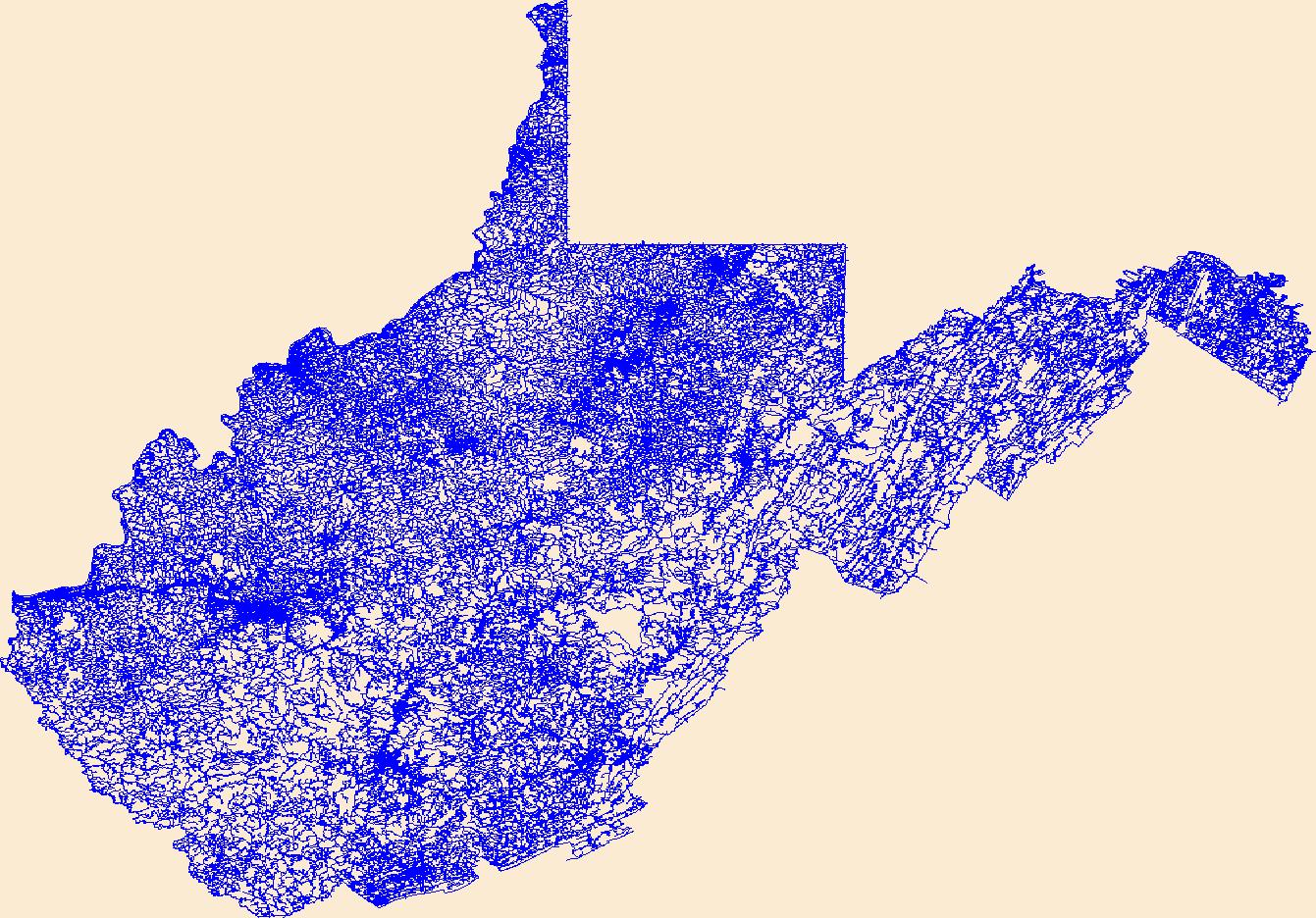
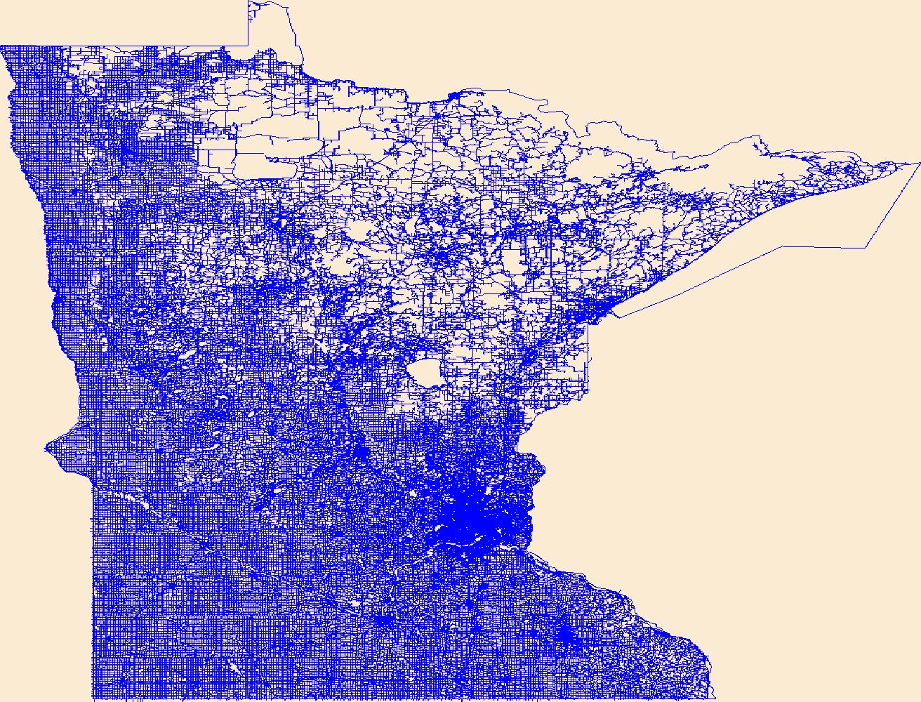
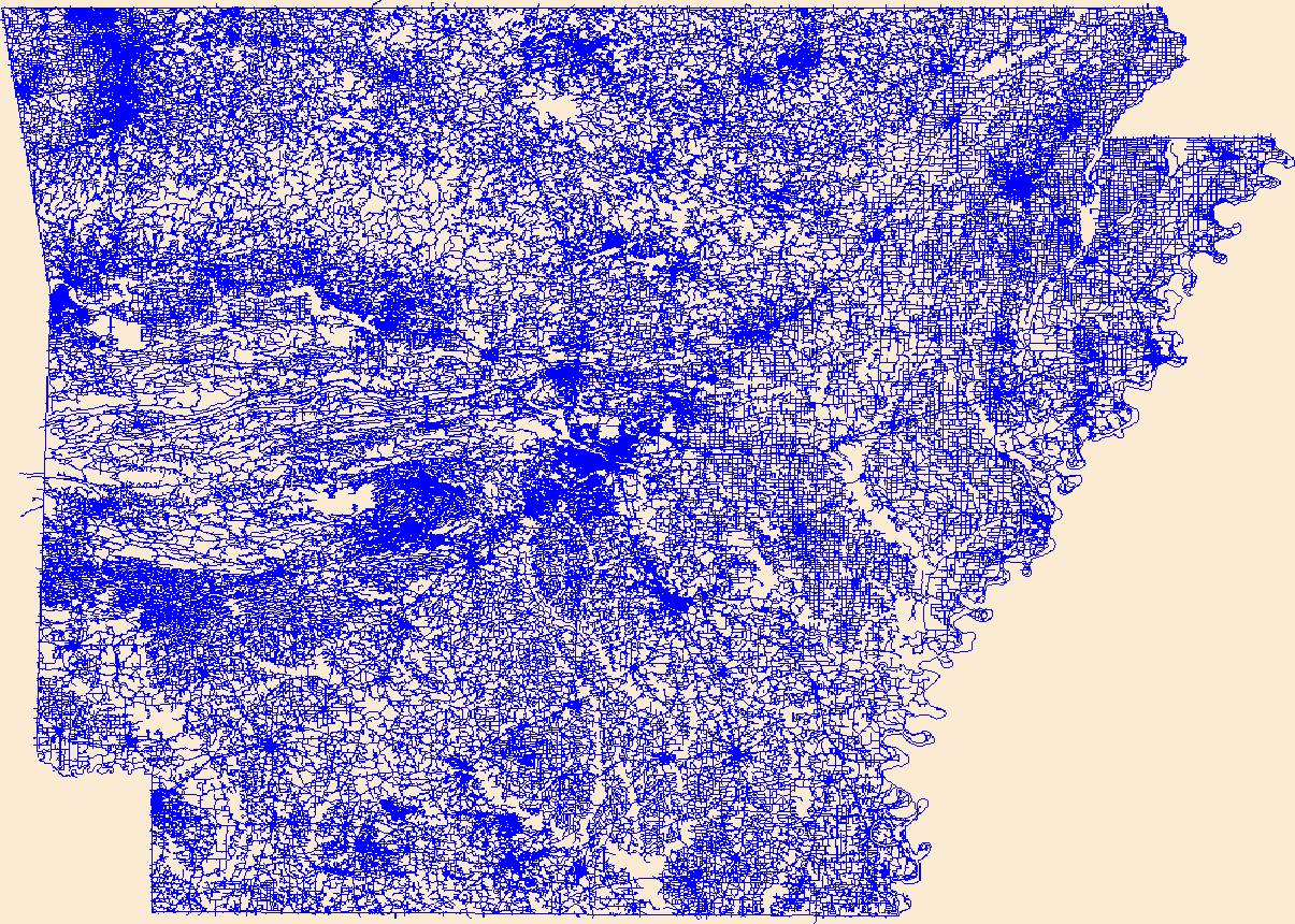
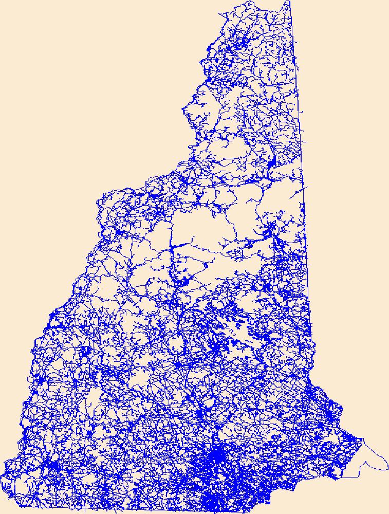
Layers of geospatial data include roads, airports, trails, and railroads.
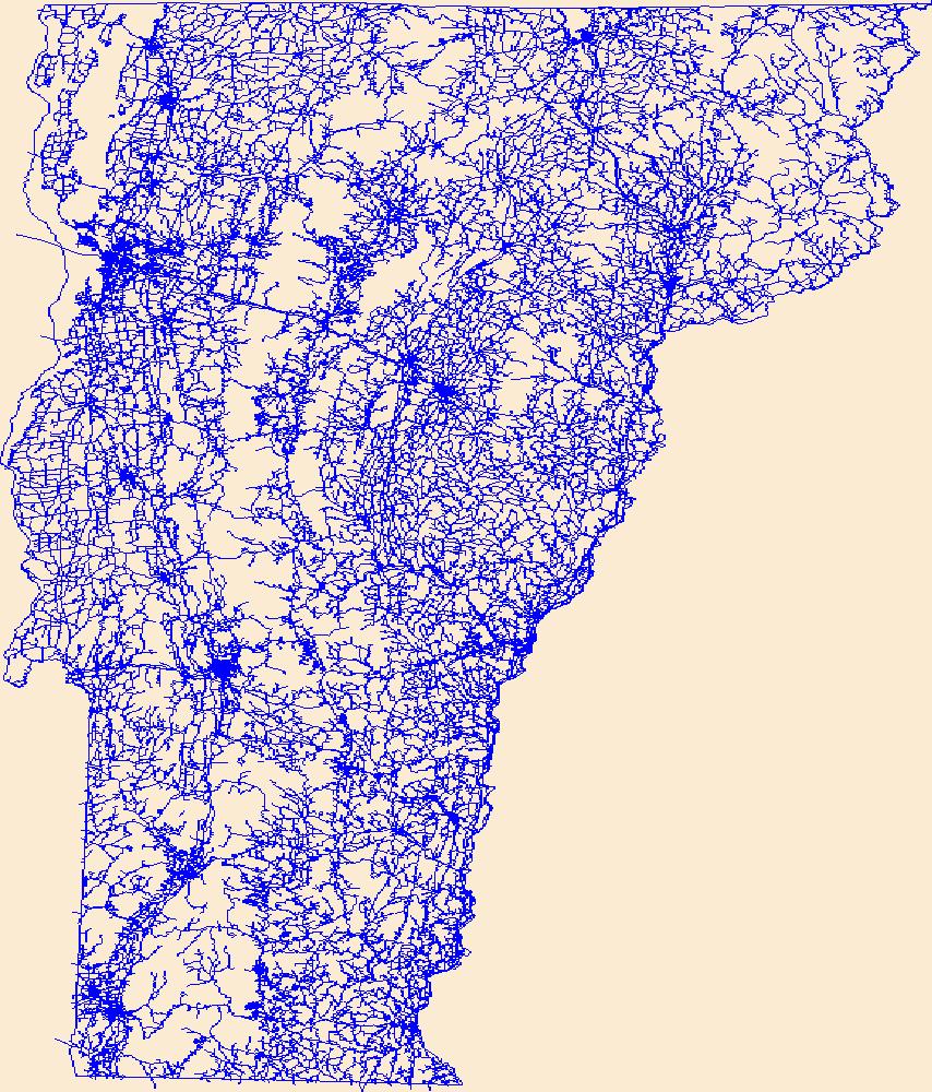
Layers of geospatial data include roads, airports, trails, and railroads.
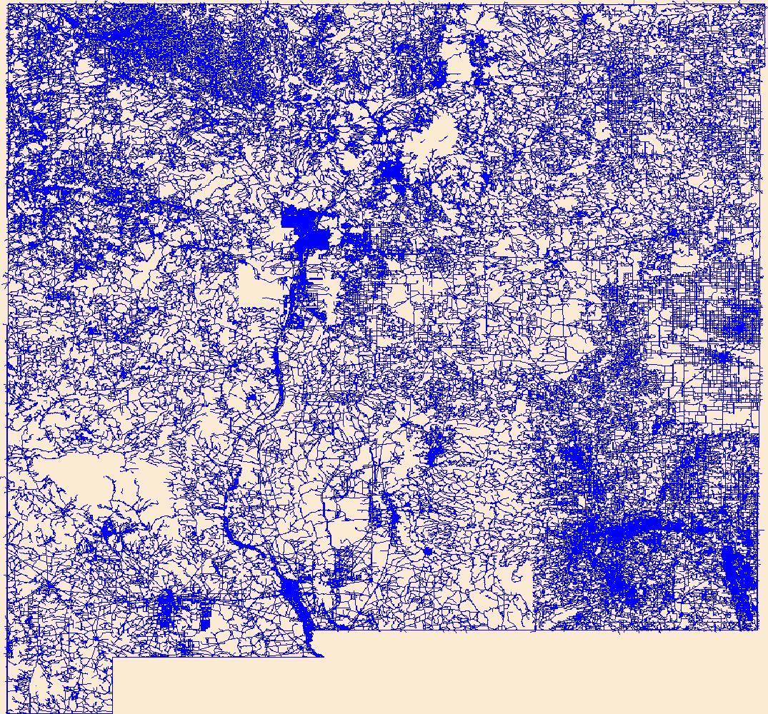
Layers of geospatial data include roads, airports, trails, and railroads.
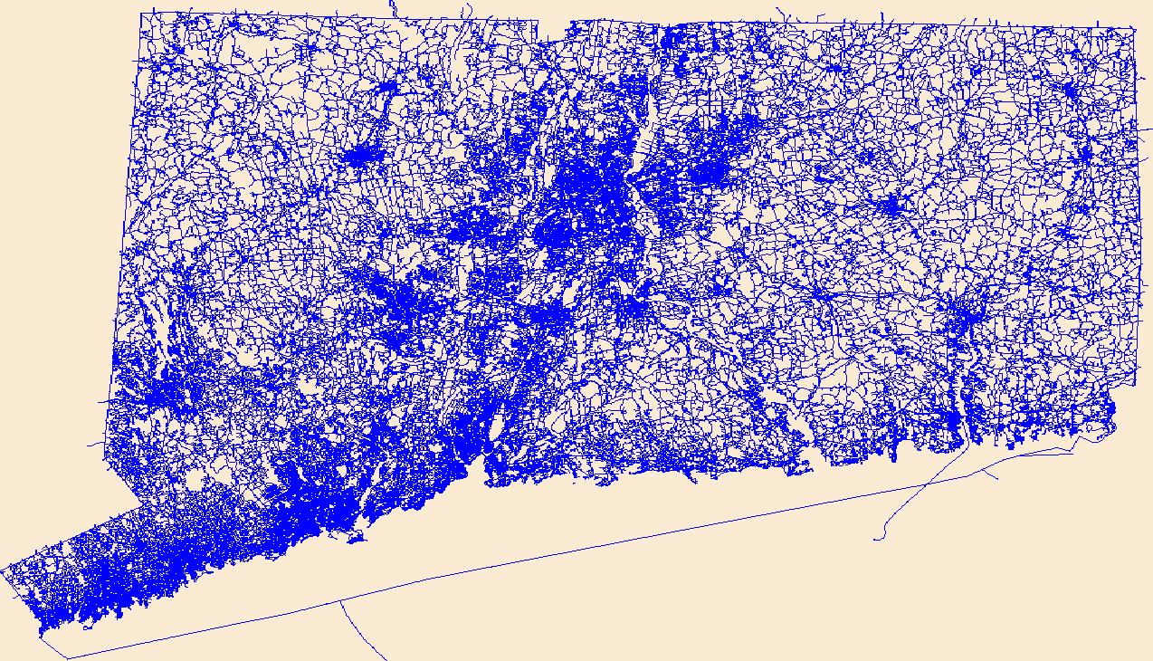
Layers of geospatial data include roads, airports, trails, and railroads.

Layers of geospatial data include roads, airports, trails, and railroads.

Layers of geospatial data include roads, airports, trails, and railroads.
Layers of geospatial data include roads, airports, trails, and railroads.

Layers of geospatial data include roads, airports, trails, and railroads.
Layers of geospatial data include roads, airports, trails, and railroads.
Layers of geospatial data include roads, airports, trails, and railroads.
This dataset represents roads in the Crown of the Continent Ecosystem (with a 50km buffer). Developed with the most recently available data and represents roads in ~2016. This dataset was developed by the Crown Managers Partnership, as part of a transboundary collaborative management initiative for the Crown of the Continent Ecosystem, based on commonly identified management priorities that are relevant at the landscape scale. The CMP is collaborative group of land managers, scientists, and stakeholder in the CCE. For more information on the CMP and its collaborators, programs, and projects please visit: http://crownmanagers.org/ This dataset has been produced by merging the "National Road Network (NRN) - AB,...
Categories: Data;
Types: Citation,
Downloadable,
Map Service,
OGC WFS Layer,
OGC WMS Layer,
Shapefile;
Tags: Alberta,
B.C,
CCE,
MSDI,
Montana,
This dataset represents recreation trails within the Western Oregon Plan Revision (WOPR) boundary.BLM (Bureau of Land Management) WOPR (Western Oregon Plan Revision) PRMP: (Proposed Resource Management Plan) REC: (Recreation)

Gene Chappie Shasta Off-Highway Vehcile Area Trail System near Redding, California, USA.
This dataset represents all of the Historical Trails in Wyoming, including those designated as National Historic Trails. These data have been collected using methods ranging from screen digitizing at a large scale to collecting trails with aGlobal Positioning System (GPS). In general, the main trail system(Oregon/California/Mormon Pioneer/Pony Express) is the most accurate, falling somewhere between the 24K and 100K mapping standards. Still, these trails represent only an approximation of the centerline of the trails system and should be used only as a preliminary planning tool. Consultation with the appropriate Field Office will still be necessary for any specific project.

Official Trails, Crestridge, San Diego (December 2010)
Current permanent line features such as existing roads, trails, and river corridors used in transportation networks. These data are provided by Bureau of Land Management (BLM) "as is" and may contain errors or omissions. The User assumes the entire risk associated with its use of these data and bears all responsibility in determining whether these data are fit for the User's intended use. These data may not have the accuracy, resolution, completeness, timeliness, or other characteristics appropriate for applications that potential users of the data may contemplate. The User is encouraged to carefully consider the content of the metadata file associated with these data. The BLM should be cited as the data source...
This map shows the trails and unpaved access roads in the study area. These data are provided by Bureau of Land Management (BLM) "as is" and may contain errors or omissions. The User assumes the entire risk associated with its use of these data and bears all responsibility in determining whether these data are fit for the User's intended use. These data may not have the accuracy, resolution, completeness, timeliness, or other characteristics appropriate for applications that potential users of the data may contemplate. The User is encouraged to carefully consider the content of the metadata file associated with these data. The BLM should be cited as the data source in any products derived from these data.
This data depicts infrastructure locations in Alaska as digitized primarily from 1:24,000, 1:63,360, and 1:250,000 USGS quadrangles. The source document that represented the newest information and best geographic location was used to capture the data. All infrastructure from the primary source document was digitized and then supplemented with the information from other source documents for additional or updated infrastructure or attributes.
This layer shows potential trails within the Western Oregon Plan Revision boundary.BLM (Bureau of Land Management), WOPR (Western Oregon Plan Revision) PRMP: Proposed Resource Management Plan This data is a PRMP release version of the data. The original name of the dataset is:rec_m4c_c_ptrails_arc
|

|
