Filters: Tags: water (X) > partyWithName: U.S. Geological Survey (X)
216 results (13ms)|
Filters
Date Range
Extensions
Types Contacts
Categories Tag Types
|
This dataset contains csv files in support of the conclusions published in "Water use demand in Mediterranean California under multiple scenarios of developed and agricultural land use " in the journal PLOS One. We used the USGS's LUCAS model to examine a broad suite of spatially explicit future land use scenarios and their associated county-level water use demand, including the historical (1992-2011) and projected periods (2012-2062) across 40 Monte Carlo simulations.We examined a range of potential water demand futures sampled from a 20-year record of historical (1992-2012) data to develop a suite of potential future land change scenarios from 2012-2062. These scenario simulations include a 1) business-as-usual...
Categories: Data;
Tags: California,
California,
Central Valley,
LUCAS model,
land use and land cover change,
This dataset contains stream-stage data for Santa Cruz River at Tumacácori Downstream Site (SC11). The pressure transducer was mounted to a metal post secured in the stream near the left bank. The data were recorded using non-vented Solinst Levelogger for the period of June 16, 2016 to June 24, 2016. The data were logged continuously at a 15-minute interval and manually downloaded. Data were then corrected with the atmospheric pressure collected from a Solinst Barologger located at SC14. The data was processed and analyzed for erroneous data.
Categories: Data;
Types: Citation;
Tags: DNA,
E. coli,
Escherichia coli,
Stage,
Tumacácori National Historical Park,

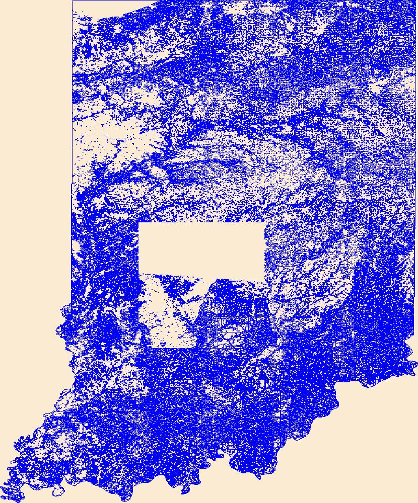
Geospatial data that is a derivative land cover product depicting woodland on topographic maps.

Geospatial data that is a derivative land cover product depicting woodland on topographic maps.

Geospatial data that is a derivative land cover product depicting woodland on topographic maps.

Geospatial data that is a derivative land cover product depicting woodland on topographic maps.

Geospatial data that is a derivative land cover product depicting woodland on topographic maps.

Geospatial data that is a derivative land cover product depicting woodland on topographic maps.

Geospatial data that is a derivative land cover product depicting woodland on topographic maps.

Geospatial data that is a derivative land cover product depicting woodland on topographic maps.

Geospatial data that is a derivative land cover product depicting woodland on topographic maps.

Geospatial data that is a derivative land cover product depicting woodland on topographic maps.

Geospatial data that is a derivative land cover product depicting woodland on topographic maps.
This dataset provides shapefile outlines of the 7,150 lakes that had temperature modeled as part of this study. The format is a shapefile for all lakes combined (.shp, .shx, .dbf, and .prj files). A csv file of lake metadata is also included. This dataset is part of a larger data release of lake temperature model inputs and outputs for 7,150 lakes in the U.S. states of Minnesota and Wisconsin (http://dx.doi.org/10.5066/P9CA6XP8).
Categories: Data;
Types: Downloadable,
Map Service,
OGC WFS Layer,
OGC WMS Layer,
Shapefile;
Tags: IA,
IL,
IN,
Illinois,
Indiana,
These data were released prior to the October 1, 2016 effective date for the USGS’s policy dictating the review, approval, and release of scientific data as referenced in USGS Survey Manual Chapter 502.8 Fundamental Science Practices: Review and Approval of Scientific Data for Release. This map shows specific water-quality items and hydrologic data site information which come from QWDATA (Water Quality) and GWSI (Ground Water Information System). Both QWDATA and GWSI are subsystems of NWIS (National Water Inventory System)of the USGS (United States Geologic Survey). This map is for Uintah County, Utah. The scope and purpose of NWIS is defined on the web site: http://water.usgs.gov/public/pubs/FS/FS-027-98/
These data were released prior to the October 1, 2016 effective date for the USGS’s policy dictating the review, approval, and release of scientific data as referenced in USGS Survey Manual Chapter 502.8 Fundamental Science Practices: Review and Approval of Scientific Data for Release. This map shows specific water-quality items and hydrologic data site information which come from QWDATA (Water Quality) and GWSI (Ground Water Information System). Both QWDATA and GWSI are subsystems of NWIS (National Water Inventory System)of the USGS (United States Geologic Survey). This map is for Daggett County, Utah. The scope and purpose of NWIS is defined on the web site: http://water.usgs.gov/public/pubs/FS/FS-027-98/
This data release contains information to support water quality modeling in the Delaware River Basin (DRB). These data support both process-based and machine learning approaches to water quality modeling, including the prediction of stream temperature. This section contains observations related to the amount and quality of water in the Delaware River Basin. Data from a subset of reservoirs in the basin include observed daily depth-resolved water temperature, water levels, diversions, and releases. Data from streams in the basin include daily flow and temperature observations. Observations were compiled from a variety of sources, including the National Water Inventory System, Water Quality Portal, EcoSHEDS stream...
Geospatial data that is a derivative land cover product depicting woodland on topographic maps.
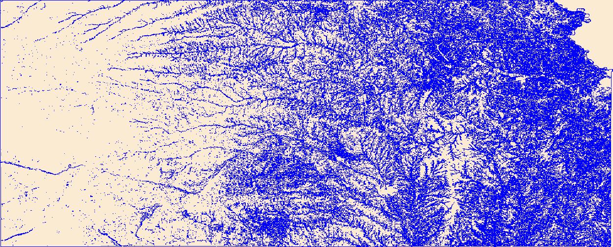
Geospatial data that is a derivative land cover product depicting woodland on topographic maps.
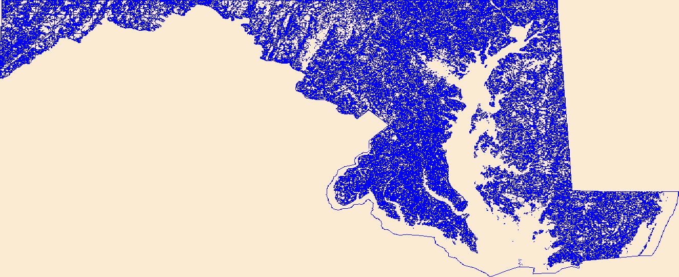
Geospatial data that is a derivative land cover product depicting woodland on topographic maps.
|

|
