Filters: Tags: water quality (X) > Date Range: {"choice":"week"} (X)
35 results (15ms)|
Filters
Date Types (for Date Range)
Types
Contacts
Categories Tag Types
|
Periphyton is a complex community of detritus, bacteria, fungi, and algae that grows attached to submerged substrates. Assemblage structure data for algae and cyanobacteria from periphyton samples were collected on a monthly basis from 2017 to 2021. Compiled data were reported as absolute abundance (cells) and biovolume per volume as well as absolute abundance (cells) and biovolume per area at four locations increasing in distance East of the L-67 canal in Water Conservation Area 3 (WCA 3) of the Florida Everglades immediately north of Everglades National Park. The periphyton assemblages were analyzed for five sample types including periphyton plates (Plates), invertebrate inclusion and exclusion plates (Inverts),...
Categories: Data;
Tags: Aquatic Biology,
Ecology,
Everglades National Park,
USGS Science Data Catalog (SDC),
Water Quality,
Model Inputs: Midwest Climate Change Vulnerability Assessment for the U.S. Fish and Wildlife Service
This data release contains the climate change model inputs and Soil and Water Assessment Tool (SWAT) model outputs from 360 HUC-8 watersheds in the Midwest United States (Illinois, Indiana, Iowa, Michigan, Minnesota, Ohio, and Wisconsin), that were generated using the HAWQS (Hydrologic and Water Quality System) platform (https://hawqs.tamu.edu). The summarized data for a watershed-based climate change vulnerability assessment for U.S. Fish and Wildlife Service is also provided, along with the R code used to summarize the raw outputs. Watershed-based Midwest Climate Change Vulnerability Assessment Tool: https://rconnect.usgs.gov/CC_Vulnerabi
This dataset summarizes impairment status for HUC12 watersheds at the CONUS scale using the EPA publicly available Assessment, Total Maximum Daily Load (TMDL) Tracking and Implementation System (ATTAINS) geospatial package and the USGS Watershed Boundary Dataset (WBD). ATTAINS is an online system maintained by the EPA containing information about the condition of the Nation’s surface waters, as reported by individual states. These data were downloaded in October 2023 and primarily reflect 2022 stream conditions. Because of the varying data types that exist in the database, an independent methodology was developed for summarizing impairment status for HUC12 watersheds using the USGS WBD as detailed in this metadata...
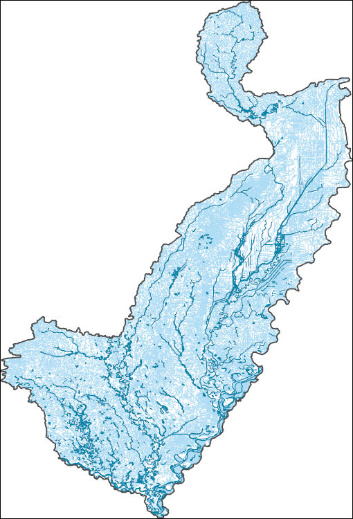
The High Resolution National Hydrography Dataset Plus (NHDPlus HR) is an integrated set of geospatial data layers, including the best available National Hydrography Dataset (NHD), the 10-meter 3D Elevation Program Digital Elevation Model (3DEP DEM), and the National Watershed Boundary Dataset (WBD). The NHDPlus HR combines the NHD, 3DEP DEMs, and WBD to create a stream network with linear referencing, feature naming, "value added attributes" (VAAs), elevation-derived catchments, and other features for hydrologic data analysis. The stream network with linear referencing is a system of data relationships applied to hydrographic systems so that one stream reach "flows" into another and "events" can be tied to and traced...
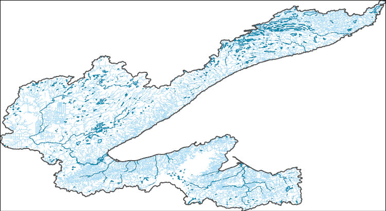
The High Resolution National Hydrography Dataset Plus (NHDPlus HR) is an integrated set of geospatial data layers, including the best available National Hydrography Dataset (NHD), the 10-meter 3D Elevation Program Digital Elevation Model (3DEP DEM), and the National Watershed Boundary Dataset (WBD). The NHDPlus HR combines the NHD, 3DEP DEMs, and WBD to create a stream network with linear referencing, feature naming, "value added attributes" (VAAs), elevation-derived catchments, and other features for hydrologic data analysis. The stream network with linear referencing is a system of data relationships applied to hydrographic systems so that one stream reach "flows" into another and "events" can be tied to and traced...
This data release contains site information and potential explanatory factor data for 1,899 groundwater sites. These sites were used to assess groundwater quality in aquifers used for domestic and public drinking water supply in the southeastern San Joaquin Valley. The southeastern San Joaquin Valley (SESJV) study unit consists of five study areas whose boundaries are defined by the eponymous California Department of Water Resources groundwater subbasins of the San Joaquin Valley groundwater basin: Madera-Chowchilla, Kings, Kaweah, Tule, and Tulare Lake. The sites consist of 198 wells representing the domestic-supply aquifer and 1,701 wells representing the public-supply aquifer. The domestic-supply aquifer wells...
The High Resolution National Hydrography Dataset Plus (NHDPlus HR) is an integrated set of geospatial data layers, including the best available National Hydrography Dataset (NHD), the 10-meter 3D Elevation Program Digital Elevation Model (3DEP DEM), and the National Watershed Boundary Dataset (WBD). The NHDPlus HR combines the NHD, 3DEP DEMs, and WBD to create a stream network with linear referencing, feature naming, "value added attributes" (VAAs), elevation-derived catchments, and other features for hydrologic data analysis. The stream network with linear referencing is a system of data relationships applied to hydrographic systems so that one stream reach "flows" into another and "events" can be tied to and traced...
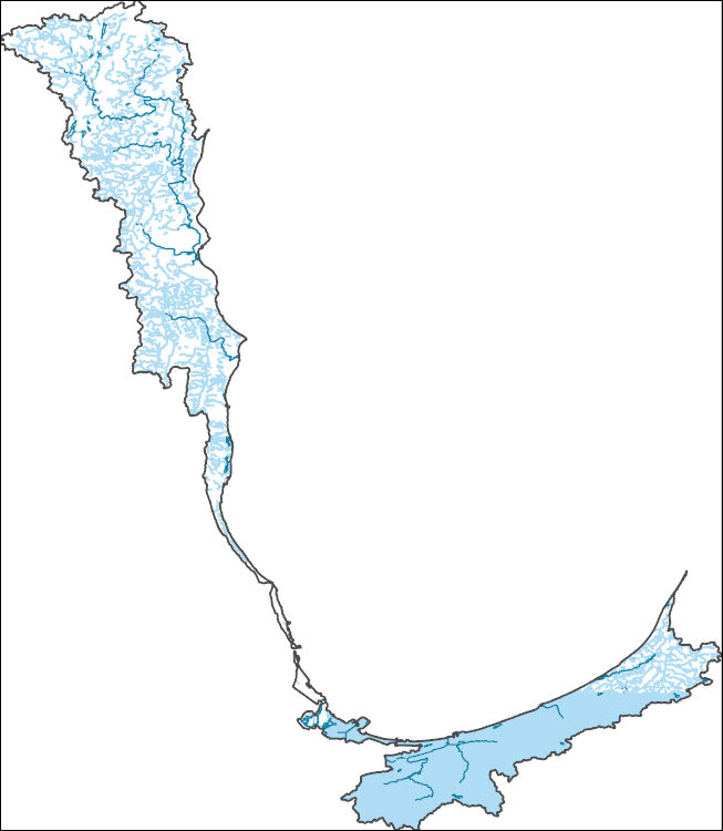
The High Resolution National Hydrography Dataset Plus (NHDPlus HR) is an integrated set of geospatial data layers, including the best available National Hydrography Dataset (NHD), the 10-meter 3D Elevation Program Digital Elevation Model (3DEP DEM), and the National Watershed Boundary Dataset (WBD). The NHDPlus HR combines the NHD, 3DEP DEMs, and WBD to create a stream network with linear referencing, feature naming, "value added attributes" (VAAs), elevation-derived catchments, and other features for hydrologic data analysis. The stream network with linear referencing is a system of data relationships applied to hydrographic systems so that one stream reach "flows" into another and "events" can be tied to and traced...
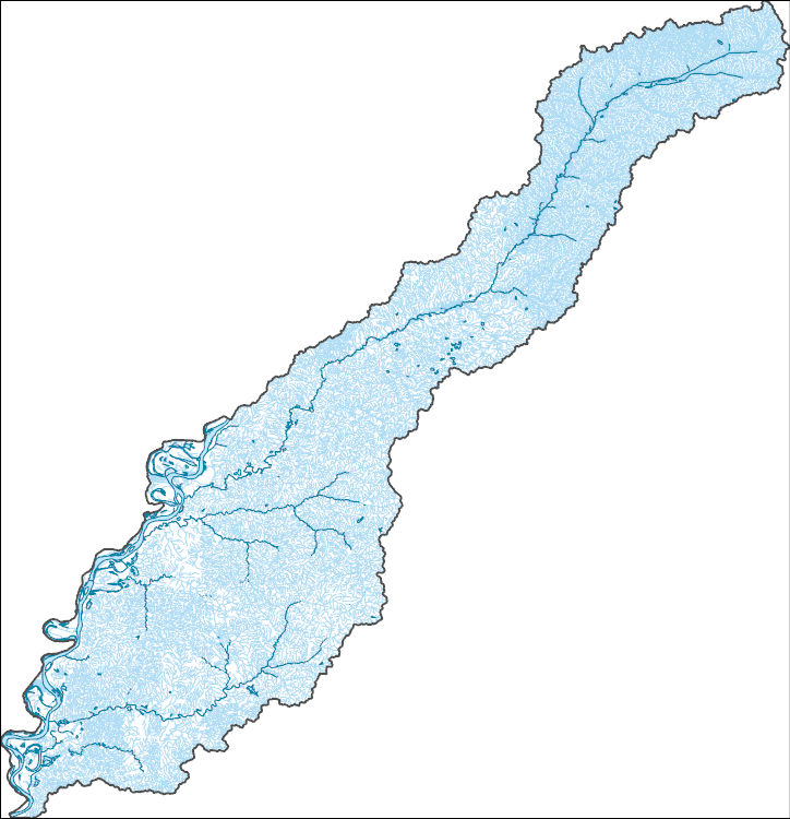
The High Resolution National Hydrography Dataset Plus (NHDPlus HR) is an integrated set of geospatial data layers, including the best available National Hydrography Dataset (NHD), the 10-meter 3D Elevation Program Digital Elevation Model (3DEP DEM), and the National Watershed Boundary Dataset (WBD). The NHDPlus HR combines the NHD, 3DEP DEMs, and WBD to create a stream network with linear referencing, feature naming, "value added attributes" (VAAs), elevation-derived catchments, and other features for hydrologic data analysis. The stream network with linear referencing is a system of data relationships applied to hydrographic systems so that one stream reach "flows" into another and "events" can be tied to and traced...
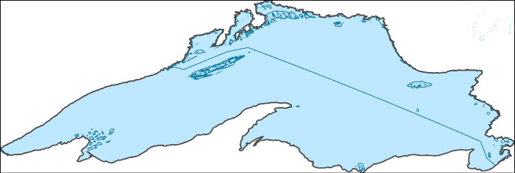
The High Resolution National Hydrography Dataset Plus (NHDPlus HR) is an integrated set of geospatial data layers, including the best available National Hydrography Dataset (NHD), the 10-meter 3D Elevation Program Digital Elevation Model (3DEP DEM), and the National Watershed Boundary Dataset (WBD). The NHDPlus HR combines the NHD, 3DEP DEMs, and WBD to create a stream network with linear referencing, feature naming, "value added attributes" (VAAs), elevation-derived catchments, and other features for hydrologic data analysis. The stream network with linear referencing is a system of data relationships applied to hydrographic systems so that one stream reach "flows" into another and "events" can be tied to and traced...
This data release contains phytoplankton data and vertical profile measurements of water quality and light in oligotrophic (low nutrient) lakes within the Adirondack Park, New York State. Data were collected between June and October 2021 at five lakes. Four lake locations (Nearshore, Open Water, Layer, Bloom) were sampled representing one of four sample types (Bottom Sediment, Surface Water, Bloom Material, Layer). Water-quality field parameters (water temperature, dissolved-oxygen concentration and percent saturation, pH, specific conductance, turbidity, chlorophyll fluorescence, phycocyanin fluorescence, and fluorescent dissolved organic material) were measured at each sampling location from the surface to the...
Categories: Data;
Types: ArcGIS REST Map Service,
ArcGIS Service Definition,
Downloadable,
Map Service,
OGC WFS Layer,
OGC WMS Layer,
OGC WMS Service;
Tags: Adirondack Park,
Algal concentration,
Blue Mountain Lake,
Blue-green algae,
Brant Lake,
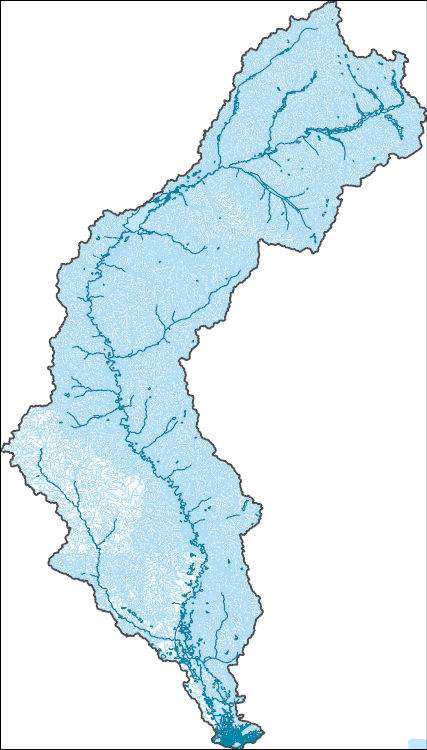
The High Resolution National Hydrography Dataset Plus (NHDPlus HR) is an integrated set of geospatial data layers, including the best available National Hydrography Dataset (NHD), the 10-meter 3D Elevation Program Digital Elevation Model (3DEP DEM), and the National Watershed Boundary Dataset (WBD). The NHDPlus HR combines the NHD, 3DEP DEMs, and WBD to create a stream network with linear referencing, feature naming, "value added attributes" (VAAs), elevation-derived catchments, and other features for hydrologic data analysis. The stream network with linear referencing is a system of data relationships applied to hydrographic systems so that one stream reach "flows" into another and "events" can be tied to and traced...
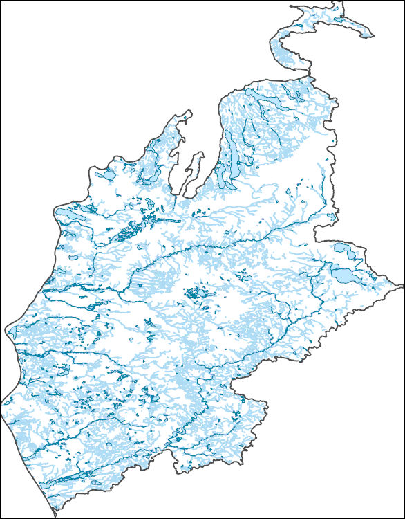
The High Resolution National Hydrography Dataset Plus (NHDPlus HR) is an integrated set of geospatial data layers, including the best available National Hydrography Dataset (NHD), the 10-meter 3D Elevation Program Digital Elevation Model (3DEP DEM), and the National Watershed Boundary Dataset (WBD). The NHDPlus HR combines the NHD, 3DEP DEMs, and WBD to create a stream network with linear referencing, feature naming, "value added attributes" (VAAs), elevation-derived catchments, and other features for hydrologic data analysis. The stream network with linear referencing is a system of data relationships applied to hydrographic systems so that one stream reach "flows" into another and "events" can be tied to and traced...
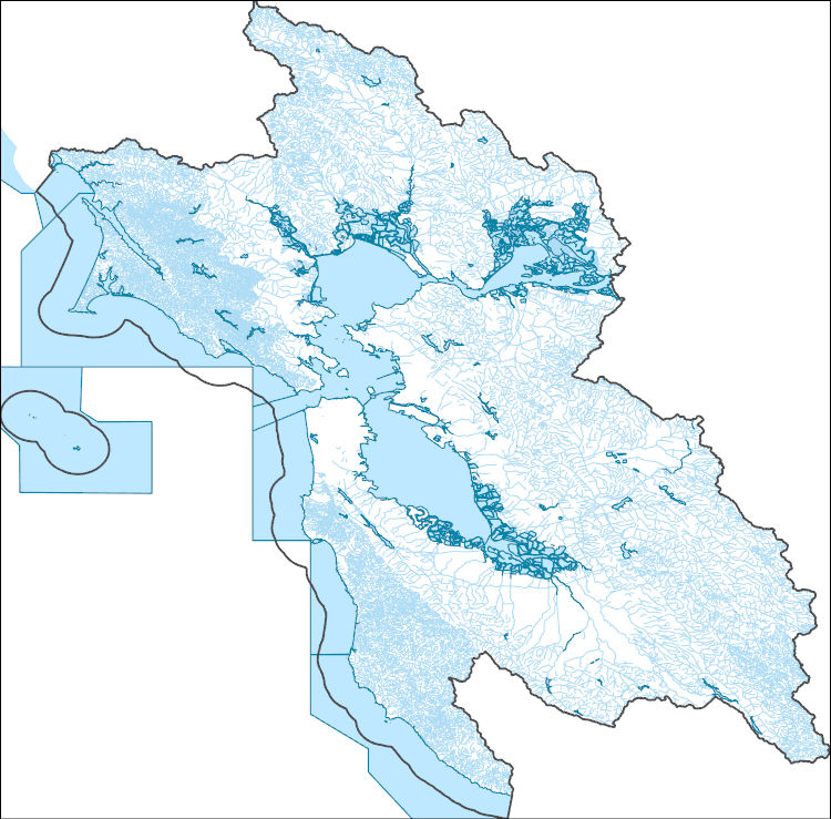
The High Resolution National Hydrography Dataset Plus (NHDPlus HR) is an integrated set of geospatial data layers, including the best available National Hydrography Dataset (NHD), the 10-meter 3D Elevation Program Digital Elevation Model (3DEP DEM), and the National Watershed Boundary Dataset (WBD). The NHDPlus HR combines the NHD, 3DEP DEMs, and WBD to create a stream network with linear referencing, feature naming, "value added attributes" (VAAs), elevation-derived catchments, and other features for hydrologic data analysis. The stream network with linear referencing is a system of data relationships applied to hydrographic systems so that one stream reach "flows" into another and "events" can be tied to and traced...
This data release contains the concentration results for basic water-quality constituent class parameters (water temperature, pH, turbidity, and specific conductance), total nitrogen, total phosphorous, chloride, and trace elements in surface-water samples collected from two subsites within two vernal pools near Pleasant Grove, New Jersey in 2022-23. In the winter (December 2022 and February 2023) samples were collected at opposing ends of the ponds, or wherever ponding was sufficient for a sample to be taken. An additional sample was collected in July 2023 during the amphibian breeding season. The number of samples collected during each sampling event varied based on water availability and in July 2023 only one...

The High Resolution National Hydrography Dataset Plus (NHDPlus HR) is an integrated set of geospatial data layers, including the best available National Hydrography Dataset (NHD), the 10-meter 3D Elevation Program Digital Elevation Model (3DEP DEM), and the National Watershed Boundary Dataset (WBD). The NHDPlus HR combines the NHD, 3DEP DEMs, and WBD to create a stream network with linear referencing, feature naming, "value added attributes" (VAAs), elevation-derived catchments, and other features for hydrologic data analysis. The stream network with linear referencing is a system of data relationships applied to hydrographic systems so that one stream reach "flows" into another and "events" can be tied to and traced...
Site, field, and soil data collected from 14 sites along a chronosequence of wetland submergence on 15 – 17 October 2019 in a Louisiana salt marsh in Barataria Basin, part of the Mississippi River Deltaic Plain, along the northern Gulf of Mexico coast.
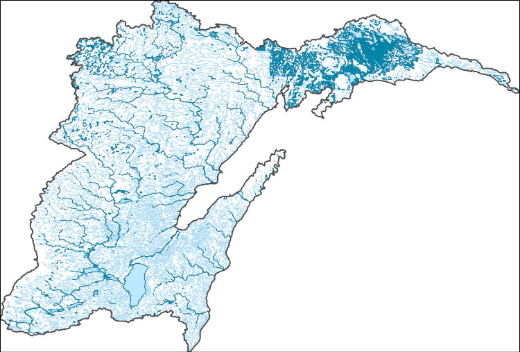
The High Resolution National Hydrography Dataset Plus (NHDPlus HR) is an integrated set of geospatial data layers, including the best available National Hydrography Dataset (NHD), the 10-meter 3D Elevation Program Digital Elevation Model (3DEP DEM), and the National Watershed Boundary Dataset (WBD). The NHDPlus HR combines the NHD, 3DEP DEMs, and WBD to create a stream network with linear referencing, feature naming, "value added attributes" (VAAs), elevation-derived catchments, and other features for hydrologic data analysis. The stream network with linear referencing is a system of data relationships applied to hydrographic systems so that one stream reach "flows" into another and "events" can be tied to and traced...
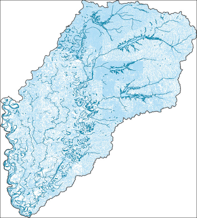
The High Resolution National Hydrography Dataset Plus (NHDPlus HR) is an integrated set of geospatial data layers, including the best available National Hydrography Dataset (NHD), the 10-meter 3D Elevation Program Digital Elevation Model (3DEP DEM), and the National Watershed Boundary Dataset (WBD). The NHDPlus HR combines the NHD, 3DEP DEMs, and WBD to create a stream network with linear referencing, feature naming, "value added attributes" (VAAs), elevation-derived catchments, and other features for hydrologic data analysis. The stream network with linear referencing is a system of data relationships applied to hydrographic systems so that one stream reach "flows" into another and "events" can be tied to and traced...
Data were collected during experiments to determine the effects of water chemistry on carbon dioxide toxicity to zebra mussels (Dreissena polymorpha). Water chemistry parameters were collected for the water used in the study. Data were collected to model the relationship of carbon dioxide and pH in various water chemistries. Measurements were made to describe the animals used in the study.
Categories: Data;
Tags: Aquatic Biology,
USGS Science Data Catalog (SDC),
Water Quality,
Water Resources,
Wildlife Biology,
|

|