Filters: Categories: Collection (X) > partyWithName: U.S. Geological Survey (X)
10 results (13ms)|
Filters
Date Range
Extensions Types Contacts Categories Tag Types
|

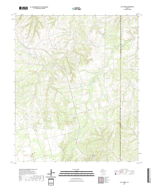
Layered geospatial PDF 7.5 Minute Quadrangle Map. Layers of geospatial data include orthoimagery, roads, grids, geographic names, elevation contours, hydrography, boundaries, and other selected map features. This map depicts geographic features on the surface of the earth. One intended purpose is to support emergency response at all levels of government. The geospatial data in this map are from selected National Map data holdings and other government sources.
Categories: Collection;
Types: Map Service,
OGC WFS Layer,
OGC WMS Layer,
OGC WMS Service;
Tags: Public Land Survey System,
U.S. National Grid,
US,
USGS:6d94af68-1f05-4f9e-9b5a-63f7a05d258b,
United States,
This USGS Data Release represents geospatial and tabular data for the Denali Sampling Project. The data release was produced in compliance with the new 'open data' requirements as a way to make the scientific products associated with USGS research efforts and publications available to the public. The dataset consists of 4 separate items: 1. Sample Site Locations (Vector GIS dataset) 2. Sample Transects (Vector GIS dataset) 3. Final Index Score Output (Raster GIS dataset) 4. Sample Site Recordings - Finalized (Tabular dataset) These data support the following publication: Ignizio, D.A., 2015, Sample associated publication: U.S. Geological Survey Open-File Report 2016–xxxx, xx p., http://dx.doi.org/10.3133/ofr2015xxxx.
Categories: Collection;
Tags: Alaska,
Denali National Park,
National Park Survey,
Sampling measurements,
Transect,
In 1967 and 1968 the USGS, in partnership with NASA and the National Park Service, extracted rock core from 13 locations in Yellowstone National Park. Depths of the holes ranged from 215 ft to 1,088 ft and the total drilled footage was 6,802 ft. The deepest hole was drilled in Norris Basin. Research on these cores provided critical understanding of complex geothermal systems that would inform the potential development of other systems, external to the park, as energy sources. These cores are extremely rare due to the many restrictions on sampling in the park. Years later, the cores were used to investigate the origin of some of Yellowstone supervolcano’s lavas using techniques that did not even exist when the cores...
Categories: Collection,
Data;
Types: Map Service,
OGC WFS Layer,
OGC WMS Layer,
OGC WMS Service;
Tags: Collection,
National Park Service,
Yellowstone National Park,
bulk crustal melting,
caldera,
This database contains a comprehensive inventory of geologic (coral, coral reef, limestone, and sediment) cores and samples collected, analyzed, published, and/or archived by, or in collaboration with, the U.S. Geological Survey St. Petersburg Coastal and Marine Science Center (USGS SPCMSC). The SPCMSC Geologic Core and Sample Database includes geologic cores and samples collected beginning in the 1970s to present day, from study sites across the world. This database can be accessed through the CoreViewer 3.0 ArcOnline web mapping application, linked below. A copy of the data can also be downloaded from the web mapping application and the metadata is accessible through a link in the header of the application, as...
Categories: Collection,
Data;
Tags: Alabama,
Atlantic Ocean,
Bahamas,
Belize,
Biological Collection,
This collection includes shell-skeletal remains of Gopherus agassizii from 1980 through 2012 that was collected as part of a monograph covering the desert tortoise populations inside and outside the fenced Desert Tortoise Research Natural Area of California during a period of population decline. The principal objectives of the study were to compare trends in demographic and habitat data inside the protective fence with those outside the fence. Populations and habitat outside the fence were unprotected from recreational vehicle use and sheep grazing. Data for each shell-skeletal remain found on the long-term, 7.77 square kilometers plot, included carcass number, previous number as a live tortoise, date of collection,...
Categories: Collection,
Data;
Tags: California,
Collection,
Desert Tortoise Research Natural Area,
Mojave Desert,
USGS-EMA-LOW-PL Mojave Desert/SW Desert,
This collection consist of vertebrate fossils from North America featuring stratigraphic and spatial data. Data is primarily type fossils from the USGS Denver vertebrate Catalog created and maintained by U.S. Geological Survey (USGS). Data were collected by paleontologist Dr. G. Edward Lewis during his years of service within the USGS Paleontology and Stratigraphy Branch. His catalogs contain 1122 fossil localities. Collection was originally created and maintained by U.S. Geological Survey (USGS) and as of March 2020 has been transferred to the Smithsonian National Museum of Natural History.
This is a short description of the resource. This is for demo and training purposes only.
Categories: Collection,
Data;
Tags: Active Remote Sensing,
C-SAR,
Collection,
Earth Remote Sensing Instruments,
Imaging Radars,
The U.S. Geological Survey (USGS), in association with the Multi-Resolution Land Characteristics (MRLC) Consortium, produces the National Land Cover Database (NLCD) for the United States. The MRLC, a consortium of federal agencies who coordinate and generate consistent and relevant land cover information at the national scale for a wide variety of environmental, land management, and modeling applications, have been providing the scientific community with detailed land cover products for more than 30 years. Over that time, NLCD has been one of the most widely used geospatial datasets in the U.S., serving as a basis for understanding the Nation’s landscapes in thousands of studies and applications, trusted by scientists,...
Since 2002, the Woods Hole Coastal and Marine Science Center’s Samples Repository supports research by providing secure storage for geological, biological, and geochemical samples; maintaining organization and an active inventory of these sample collections; and providing access to these collections for study and reuse.This collections inventory has been compiled, organized, and released as a searchable database to provide researchers and the general public with means to discover and request scientific sample material preserved and maintained by the Woods Hole Coastal and Marine Science Center Samples Repository. Updates are made to the inventory as the collections grow, and version history information is available...
Categories: Collection,
Data;
Tags: Arctic Ocean,
Atlantic Continental Margin,
Atlantic Ocean,
Blake Plateau,
Buzzards Bay,

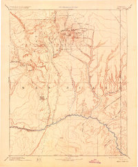
USGS Historical Quadrangle in GeoPDF. The USGS Historical Quadrangle Scanning Project (HQSP) is scanning all scales and all editions of topographic maps published by the U.S. Geological Survey (USGS) since the inception of the topographic mapping program in 1884.
Categories: Collection;
Types: Citation,
Map Service,
OGC WFS Layer,
OGC WMS Layer,
OGC WMS Service;
Tags: Public Land Survey System,
U.S. National Grid,
US,
USGS:bb7b145f-8d7f-405b-96ae-348d61172951,
United States,
|

|