Filters: Types: Citation (X) > partyWithName: U.S. Geological Survey (USGS) (X)
4 results (8ms)|
Filters
Date Range
Extensions Types
Contacts
Categories Tag Types Tag Schemes |
Vegetation and land-cover changes are not always directional but follow complex trajectories over space and time, driven by changing anthropogenic and abiotic conditions. We present a multi-observational approach to land-change analysis that addresses the complex geographic and temporal variability of vegetation changes related to climate and land use. Using land-ownership data as a proxy for land-use practices, multitemporal land-cover maps, and repeat photography dating to the late 19th century, we examine changing spatial and temporal distributions of two vegetation types with high conservation value in the southwestern United States: grasslands and riparian vegetation. In contrast to many reported vegetation...
Categories: Publication;
Types: Citation,
Map Service,
OGC WFS Layer,
OGC WMS Layer,
OGC WMS Service;
Tags: Arizona,
climate,
grassland,
land cover,
management,

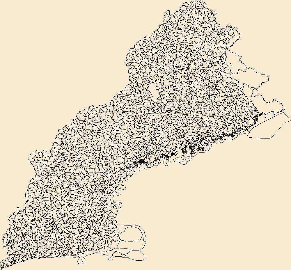
The Watershed Boundary Dataset (WBD) is a comprehensive aggregated collection of hydrologic unit data consistent with the national criteria for delineation and resolution. It defines the areal extent of surface water drainage to a point except in coastal or lake front areas where there could be multiple outlets as stated by the "Federal Standards and Procedures for the National Watershed Boundary Dataset (WBD)" "Standard" (https://pubs.usgs.gov/tm/11/a3/). Watershed boundaries are determined solely upon science-based hydrologic principles, not favoring any administrative boundaries or special projects, nor particular program or agency. This dataset represents the hydrologic unit boundaries to the 12-digit (6th level)...

The Watershed Boundary Dataset (WBD) is a comprehensive aggregated collection of hydrologic unit data consistent with the national criteria for delineation and resolution. It defines the areal extent of surface water drainage to a point except in coastal or lake front areas where there could be multiple outlets as stated by the "Federal Standards and Procedures for the National Watershed Boundary Dataset (WBD)" "Standard" (https://pubs.usgs.gov/tm/11/a3/). Watershed boundaries are determined solely upon science-based hydrologic principles, not favoring any administrative boundaries or special projects, nor particular program or agency. This dataset represents the hydrologic unit boundaries to the 12-digit (6th level)...
This product was derived from a clipped portion of the ~3m spatial resolution National Elevation Dataset. The National Elevation Dataset (NED) is the primary elevation data product produced and distributed by the USGS. The NED provides the best available public domain raster elevation data of the conterminous United States, Alaska, Hawaii, and territorial islands in a seamless format. The NED is derived from diverse source data, processed to a common coordinate system and unit of vertical measure. All NED data are distributed in geographic coordinates in units of decimal degrees, and in conformance with the North American Datum of 1983 (NAD 83). All elevation values are provided in units of meters, and are referenced...
Categories: Data;
Types: ArcGIS REST Map Service,
ArcGIS Service Definition,
Citation,
Downloadable,
Map Service,
OGC WFS Layer,
OGC WMS Layer,
Shapefile;
Tags: Antioch Dunes NWR,
San Francisco Bay region,
Terrain Model,
california,
contour,
|

|