Filters
Date Range
Extensions
Types
Contacts
Categories
Tag Types
Tag Schemes
- None (118583)
- Geographic Names Information System (122608)
- National Elevation Dataset (NED) (10821)
- The National Map Collection Thesaurus (126472)
- The National Map Product Format Thesaurus (126472)
- The National Map Theme Thesaurus (126496)
- The National Map Type Thesaurus (126490)
- The National Map Product Extent Thesaurus (126472)
- ISO 19115 Topic Category (20005)
- U.S. Department of Commerce, 1995, Countries, dependencies, areas of special sovereignty, and their principal administrative divisions, Federal Information Processing Standard 10-4,): Washington, D.C., National Institute of Standards and Technology (12304)
- ISO 19115 Category (12741)
- American Society of Photogrammetry and Remote Sensing (18105)
- USGS Thesaurus (3628)
- U.S. Department of Commerce, 1987, Codes for the identification of the States, the District of Columbia and the outlying areas of the United States, and associated areas (Federal Information Processing Standard 5-2): Washington, D.C., National Institute of Standards and Technology (11044)
- NGDA Portfolio Themes (11279)
- Counties and County Equivalents of the States of the United States and the District of Columbia (FIPS Pub 6-3) (7754)
- The National Map (TNM) Elevation (436)
- none (404)
- https://www.sciencebase.gov/vocab/category/NCCWSC/ScienceThemes (2025)
- The National Map Place Thesaurus (3476)
-
More...
|
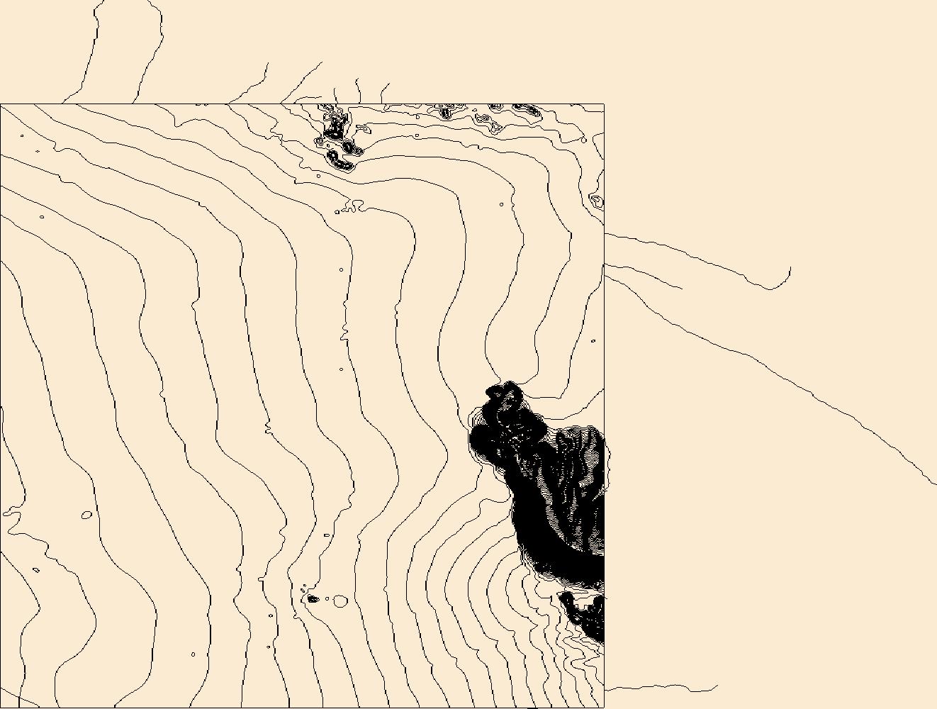
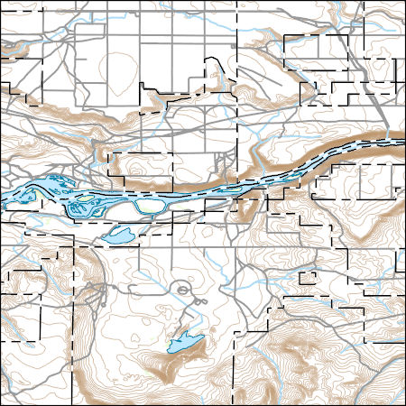
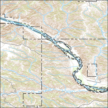
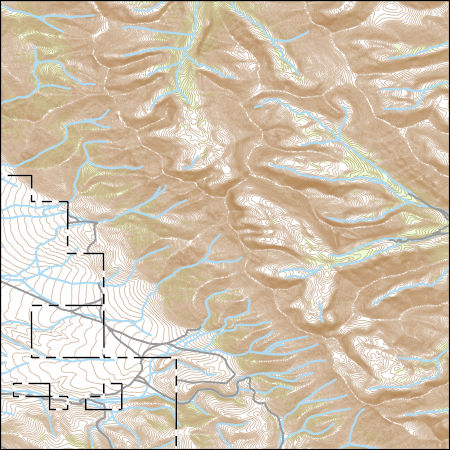
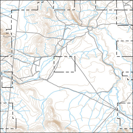
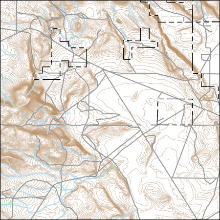
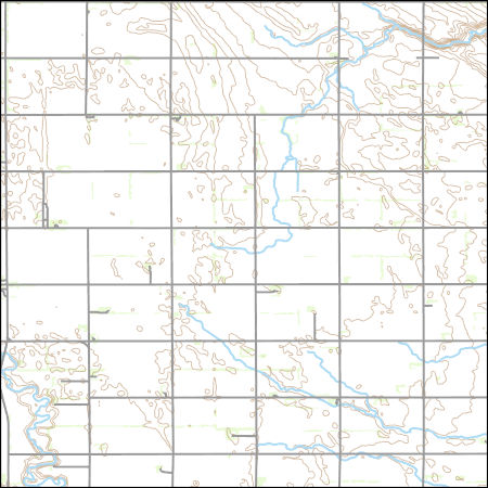
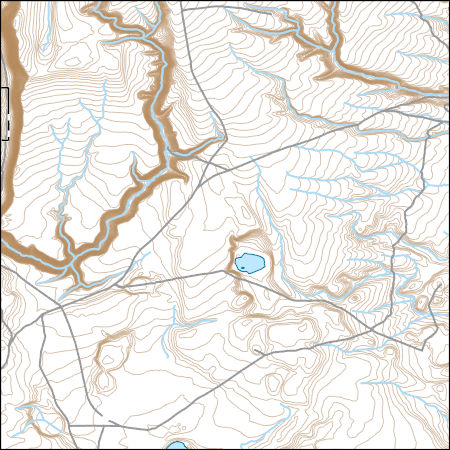
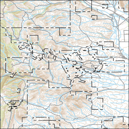
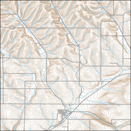
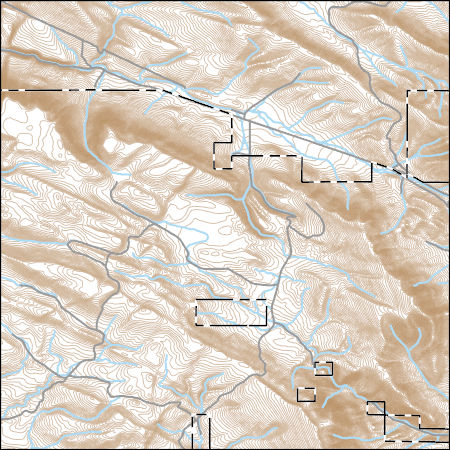
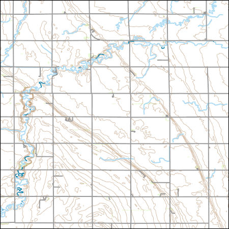
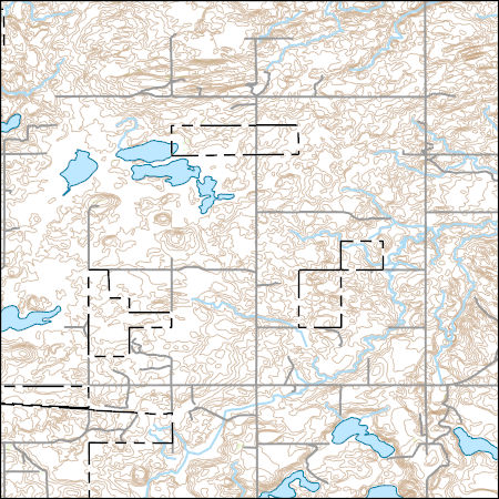
Layers of geospatial data include contours, boundaries, land cover, hydrography, roads, transportation, geographic names, structures, and other selected map features.
Types: Citation;
Tags: 7.5 x 7.5 minute,
7.5 x 7.5 minute,
AZ,
Arizona,
Combined Vector, All tags...
Combined Vector,
Combined Vector,
Downloadable Data,
FileGDB 10.1,
FileGDB 10.1,
Public Land Survey System,
US,
United States,
YumaCounty,
boundary,
contours,
geographic names,
hydrography,
structures,
transportation,
woodland, Fewer tags

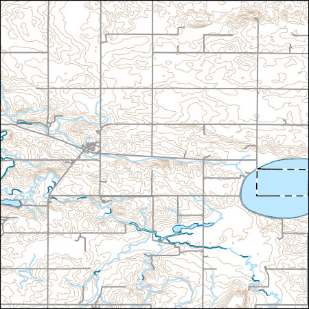
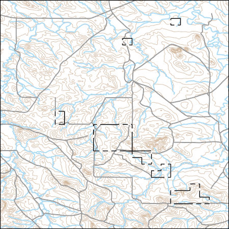
Layers of geospatial data include contours, boundaries, land cover, hydrography, roads, transportation, geographic names, structures, and other selected map features.
Types: Citation;
Tags: 7.5 x 7.5 minute,
7.5 x 7.5 minute,
Cassia County,
Combined Vector,
Combined Vector, All tags...
Combined Vector,
Downloadable Data,
ID,
Idaho,
Public Land Survey System,
Shapefile,
Shapefile,
US,
United States,
boundary,
contours,
geographic names,
hydrography,
structures,
transportation,
woodland, Fewer tags
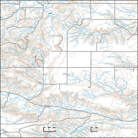
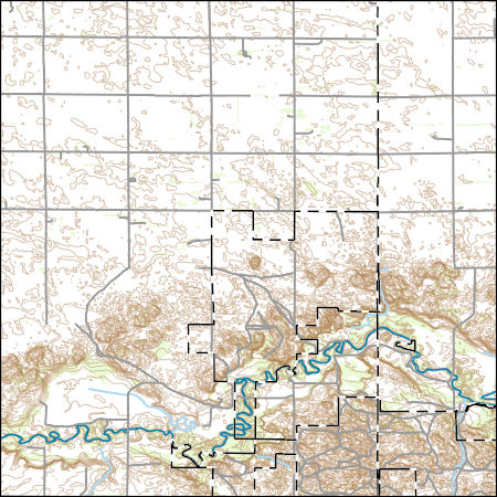
Layers of geospatial data include contours, boundaries, land cover, hydrography, roads, transportation, geographic names, structures, and other selected map features.
Types: Citation;
Tags: 7.5 x 7.5 minute,
7.5 x 7.5 minute,
Combined Vector,
Combined Vector,
Combined Vector, All tags...
Downloadable Data,
Elmore County,
ID,
Idaho,
Owyhee County,
Public Land Survey System,
Shapefile,
Shapefile,
US,
United States,
boundary,
contours,
geographic names,
hydrography,
structures,
transportation,
woodland, Fewer tags
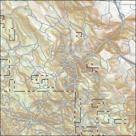
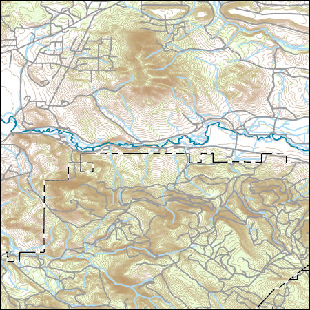
Layers of geospatial data include contours, boundaries, land cover, hydrography, roads, transportation, geographic names, structures, and other selected map features.
Types: Citation;
Tags: 7.5 x 7.5 minute,
7.5 x 7.5 minute,
Combined Vector,
Combined Vector,
Combined Vector, All tags...
Downloadable Data,
Fergus County,
MT,
Montana,
Phillips County,
Public Land Survey System,
Shapefile,
Shapefile,
US,
United States,
boundary,
contours,
geographic names,
hydrography,
structures,
transportation,
woodland, Fewer tags
Layers of geospatial data include contours, boundaries, land cover, hydrography, roads, transportation, geographic names, structures, and other selected map features.
Types: Citation;
Tags: 7.5 x 7.5 minute,
7.5 x 7.5 minute,
Combined Vector,
Combined Vector,
Combined Vector, All tags...
Custer County,
Downloadable Data,
FileGDB 10.1,
FileGDB 10.1,
ID,
Idaho,
Public Land Survey System,
US,
United States,
boundary,
contours,
geographic names,
hydrography,
structures,
transportation,
woodland, Fewer tags
Layers of geospatial data include contours, boundaries, land cover, hydrography, roads, transportation, geographic names, structures, and other selected map features.
Types: Citation;
Tags: 7.5 x 7.5 minute,
7.5 x 7.5 minute,
Combined Vector,
Combined Vector,
Combined Vector, All tags...
Downloadable Data,
FileGDB 10.1,
FileGDB 10.1,
Malheur County,
OR,
Oregon,
Public Land Survey System,
US,
United States,
boundary,
contours,
geographic names,
hydrography,
structures,
transportation,
woodland, Fewer tags
Layers of geospatial data include contours, boundaries, land cover, hydrography, roads, transportation, geographic names, structures, and other selected map features.
Types: Citation;
Tags: 7.5 x 7.5 minute,
7.5 x 7.5 minute,
Combined Vector,
Combined Vector,
Combined Vector, All tags...
Downloadable Data,
Emmons County,
ND,
North Dakota,
Public Land Survey System,
Shapefile,
Shapefile,
US,
United States,
boundary,
contours,
geographic names,
hydrography,
structures,
transportation,
woodland, Fewer tags
Layers of geospatial data include contours, boundaries, land cover, hydrography, roads, transportation, geographic names, structures, and other selected map features.
Types: Citation;
Tags: 7.5 x 7.5 minute,
7.5 x 7.5 minute,
Combined Vector,
Combined Vector,
Combined Vector, All tags...
Downloadable Data,
FileGDB 10.1,
FileGDB 10.1,
MT,
Montana,
Public Land Survey System,
Richland County,
US,
United States,
boundary,
contours,
geographic names,
hydrography,
structures,
transportation,
woodland, Fewer tags
Layers of geospatial data include contours, boundaries, land cover, hydrography, roads, transportation, geographic names, structures, and other selected map features.
Types: Citation;
Tags: 7.5 x 7.5 minute,
7.5 x 7.5 minute,
Combined Vector,
Combined Vector,
Combined Vector, All tags...
Downloadable Data,
FileGDB 10.1,
FileGDB 10.1,
OR,
Oregon,
Public Land Survey System,
US,
Union County,
United States,
boundary,
contours,
geographic names,
hydrography,
structures,
transportation,
woodland, Fewer tags
Layers of geospatial data include contours, boundaries, land cover, hydrography, roads, transportation, geographic names, structures, and other selected map features.
Types: Citation;
Tags: 7.5 x 7.5 minute,
7.5 x 7.5 minute,
Combined Vector,
Combined Vector,
Combined Vector, All tags...
Downloadable Data,
Lake County,
OR,
Oregon,
Public Land Survey System,
Shapefile,
Shapefile,
US,
United States,
boundary,
contours,
geographic names,
hydrography,
structures,
transportation,
woodland, Fewer tags
Layers of geospatial data include contours, boundaries, land cover, hydrography, roads, transportation, geographic names, structures, and other selected map features.
Types: Citation;
Tags: 7.5 x 7.5 minute,
7.5 x 7.5 minute,
Combined Vector,
Combined Vector,
Combined Vector, All tags...
Downloadable Data,
FileGDB 10.1,
FileGDB 10.1,
Grand Forks County,
ND,
North Dakota,
Public Land Survey System,
US,
United States,
boundary,
contours,
geographic names,
hydrography,
structures,
transportation,
woodland, Fewer tags
Layers of geospatial data include contours, boundaries, land cover, hydrography, roads, transportation, geographic names, structures, and other selected map features.
Types: Citation;
Tags: 7.5 x 7.5 minute,
7.5 x 7.5 minute,
Combined Vector,
Combined Vector,
Combined Vector, All tags...
Downloadable Data,
FileGDB 10.1,
FileGDB 10.1,
Harney County,
OR,
Oregon,
Public Land Survey System,
US,
United States,
boundary,
contours,
geographic names,
hydrography,
structures,
transportation,
woodland, Fewer tags
Layers of geospatial data include contours, boundaries, land cover, hydrography, roads, transportation, geographic names, structures, and other selected map features.
Types: Citation;
Tags: 7.5 x 7.5 minute,
7.5 x 7.5 minute,
Broadwater County,
Combined Vector,
Combined Vector, All tags...
Combined Vector,
Downloadable Data,
MT,
Montana,
Public Land Survey System,
Shapefile,
Shapefile,
US,
United States,
boundary,
contours,
geographic names,
hydrography,
structures,
transportation,
woodland, Fewer tags
Layers of geospatial data include contours, boundaries, land cover, hydrography, roads, transportation, geographic names, structures, and other selected map features.
Types: Citation;
Tags: 7.5 x 7.5 minute,
7.5 x 7.5 minute,
Combined Vector,
Combined Vector,
Combined Vector, All tags...
Downloadable Data,
FileGDB 10.1,
FileGDB 10.1,
OR,
Oregon,
Public Land Survey System,
US,
Umatilla County,
United States,
boundary,
contours,
geographic names,
hydrography,
structures,
transportation,
woodland, Fewer tags
Layers of geospatial data include contours, boundaries, land cover, hydrography, roads, transportation, geographic names, structures, and other selected map features.
Types: Citation;
Tags: 7.5 x 7.5 minute,
7.5 x 7.5 minute,
Combined Vector,
Combined Vector,
Combined Vector, All tags...
Downloadable Data,
FileGDB 10.1,
FileGDB 10.1,
Garfield County,
MT,
Montana,
Public Land Survey System,
US,
United States,
boundary,
contours,
geographic names,
hydrography,
structures,
transportation,
woodland, Fewer tags
Layers of geospatial data include contours, boundaries, land cover, hydrography, roads, transportation, geographic names, structures, and other selected map features.
Types: Citation;
Tags: 7.5 x 7.5 minute,
7.5 x 7.5 minute,
Combined Vector,
Combined Vector,
Combined Vector, All tags...
Downloadable Data,
ND,
North Dakota,
Public Land Survey System,
Ransom County,
Richland County,
Shapefile,
Shapefile,
US,
United States,
boundary,
contours,
geographic names,
hydrography,
structures,
transportation,
woodland, Fewer tags
Layers of geospatial data include contours, boundaries, land cover, hydrography, roads, transportation, geographic names, structures, and other selected map features.
Types: Citation;
Tags: 7.5 x 7.5 minute,
7.5 x 7.5 minute,
Combined Vector,
Combined Vector,
Combined Vector, All tags...
Downloadable Data,
Klamath County,
OR,
Oregon,
Public Land Survey System,
Shapefile,
Shapefile,
US,
United States,
boundary,
contours,
geographic names,
hydrography,
structures,
transportation,
woodland, Fewer tags
Layers of geospatial data include contours, boundaries, land cover, hydrography, roads, transportation, geographic names, structures, and other selected map features.
Types: Citation;
Tags: 7.5 x 7.5 minute,
7.5 x 7.5 minute,
Combined Vector,
Combined Vector,
Combined Vector, All tags...
Downloadable Data,
Harney County,
OR,
Oregon,
Public Land Survey System,
Shapefile,
Shapefile,
US,
United States,
boundary,
contours,
geographic names,
hydrography,
structures,
transportation,
woodland, Fewer tags
Layers of geospatial data include contours, boundaries, land cover, hydrography, roads, transportation, geographic names, structures, and other selected map features.
Types: Citation;
Tags: 7.5 x 7.5 minute,
7.5 x 7.5 minute,
Combined Vector,
Combined Vector,
Combined Vector, All tags...
Downloadable Data,
ND,
North Dakota,
Public Land Survey System,
Shapefile,
Shapefile,
Traill County,
US,
United States,
boundary,
contours,
geographic names,
hydrography,
structures,
transportation,
woodland, Fewer tags
Layers of geospatial data include contours, boundaries, land cover, hydrography, roads, transportation, geographic names, structures, and other selected map features.
Types: Citation;
Tags: 7.5 x 7.5 minute,
7.5 x 7.5 minute,
Combined Vector,
Combined Vector,
Combined Vector, All tags...
Downloadable Data,
ND,
North Dakota,
Public Land Survey System,
Shapefile,
Shapefile,
Stutsman County,
US,
United States,
boundary,
contours,
geographic names,
hydrography,
structures,
transportation,
woodland, Fewer tags
|
|

