Filters: Tags: imagerybasemapsearthcover (X) > Categories: Collection (X)
5 results (9ms)|
Filters
Date Range
Extensions Types Contacts
Categories Tag Types
|
The U.S. Army Corps of Engineers' Upper Mississippi River Restoration (UMRR) program, through its Long Term Resource Monitoring (LTRM) element, collected aerial imagery of the systemic Upper Mississippi River System (UMRS).
Categories: Collection;
Types: Map Service,
OGC WFS Layer,
OGC WMS Layer,
OGC WMS Service;
Tags: USGS-EMA-LOW-MR Landscape Ecology,
USGS-EMA-LOW-PL Mississippi River,
aquatic vegetation,
ecology,
floodplains,

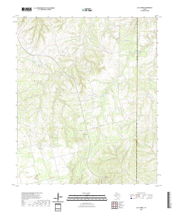
Layered geospatial PDF 7.5 Minute Quadrangle Map. Layers of geospatial data include orthoimagery, roads, grids, geographic names, elevation contours, hydrography, boundaries, and other selected map features. This map depicts geographic features on the surface of the earth. One intended purpose is to support emergency response at all levels of government. The geospatial data in this map are from selected National Map data holdings and other government sources.
Categories: Collection;
Types: Map Service,
OGC WFS Layer,
OGC WMS Layer,
OGC WMS Service;
Tags: Public Land Survey System,
U.S. National Grid,
US,
USGS:6d94af68-1f05-4f9e-9b5a-63f7a05d258b,
United States,
The U.S. Geological Survey (USGS), in association with the Multi-Resolution Land Characteristics (MRLC) Consortium, produces the National Land Cover Database (NLCD) for the United States. The MRLC, a consortium of federal agencies who coordinate and generate consistent and relevant land cover information at the national scale for a wide variety of environmental, land management, and modeling applications, have been providing the scientific community with detailed land cover products for more than 30 years. Over that time, NLCD has been one of the most widely used geospatial datasets in the U.S., serving as a basis for understanding the Nation’s landscapes in thousands of studies and applications, trusted by scientists,...
Desert LCC Base Maps and Data describe the physical and cultural geography of the Desert Landscape Conservation Cooperative. These products include the Desert LCC vector boundary available as a shapefile and KML, as well as print-quality graphic design files for thematic maps including Watersheds, Land Cover, Vegetation and a Base Map. The scale of the maps is 1:2,500,000. About the Desert LCC Region: Forty percent of the Desert LCC area lies in the United States and the remaining 60 percent, in Mexico. The total DLCC area is 536,955 square miles or 1,390,713 square kilometers. To explore data per Desert LCC priorities, visit the Conservation Planning Atlas.
Categories: Collection,
Data;
Types: Map Service,
OGC WFS Layer,
OGC WMS Layer,
OGC WMS Service;
Tags: Academics & scientific researchers,
Arizona,
California,
Collection,
Conservation NGOs,

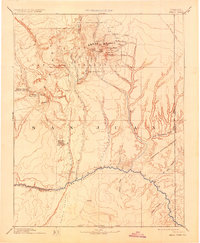
USGS Historical Quadrangle in GeoPDF. The USGS Historical Quadrangle Scanning Project (HQSP) is scanning all scales and all editions of topographic maps published by the U.S. Geological Survey (USGS) since the inception of the topographic mapping program in 1884.
Categories: Collection;
Types: Citation,
Map Service,
OGC WFS Layer,
OGC WMS Layer,
OGC WMS Service;
Tags: Public Land Survey System,
U.S. National Grid,
US,
USGS:bb7b145f-8d7f-405b-96ae-348d61172951,
United States,
|

|