Filters: Types: OGC WFS Layer (X) > partyWithName: U.S. Geological Survey (X) > Categories: Collection (X)
3 results (11ms)|
Filters
Date Range
Extensions Types Contacts
Categories Tag Types Tag Schemes |

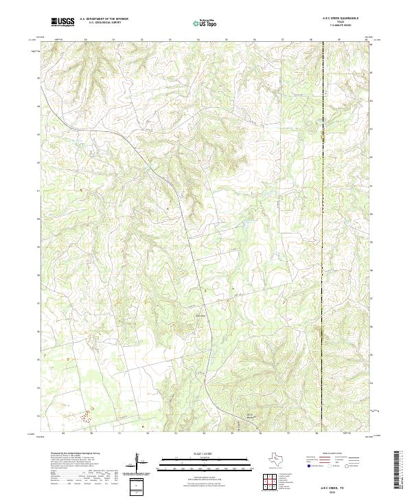
Layered geospatial PDF 7.5 Minute Quadrangle Map. Layers of geospatial data include orthoimagery, roads, grids, geographic names, elevation contours, hydrography, boundaries, and other selected map features. This map depicts geographic features on the surface of the earth. One intended purpose is to support emergency response at all levels of government. The geospatial data in this map are from selected National Map data holdings and other government sources.
Categories: Collection;
Types: Map Service,
OGC WFS Layer,
OGC WMS Layer,
OGC WMS Service;
Tags: Public Land Survey System,
U.S. National Grid,
US,
USGS:6d94af68-1f05-4f9e-9b5a-63f7a05d258b,
United States,
In 1967 and 1968 the USGS, in partnership with NASA and the National Park Service, extracted rock core from 13 locations in Yellowstone National Park. Depths of the holes ranged from 215 ft to 1,088 ft and the total drilled footage was 6,802 ft. The deepest hole was drilled in Norris Basin. Research on these cores provided critical understanding of complex geothermal systems that would inform the potential development of other systems, external to the park, as energy sources. These cores are extremely rare due to the many restrictions on sampling in the park. Years later, the cores were used to investigate the origin of some of Yellowstone supervolcano’s lavas using techniques that did not even exist when the cores...
Categories: Collection,
Data;
Types: Map Service,
OGC WFS Layer,
OGC WMS Layer,
OGC WMS Service;
Tags: Collection,
National Park Service,
Yellowstone National Park,
bulk crustal melting,
caldera,

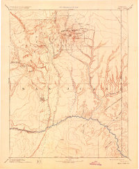
USGS Historical Quadrangle in GeoPDF. The USGS Historical Quadrangle Scanning Project (HQSP) is scanning all scales and all editions of topographic maps published by the U.S. Geological Survey (USGS) since the inception of the topographic mapping program in 1884.
Categories: Collection;
Types: Citation,
Map Service,
OGC WFS Layer,
OGC WMS Layer,
OGC WMS Service;
Tags: Public Land Survey System,
U.S. National Grid,
US,
USGS:bb7b145f-8d7f-405b-96ae-348d61172951,
United States,
|

|