Filters: Types: Citation (X) > Tags: {"type":"Place","name":"us"} (X)
110,359 results (1.2s)|
Filters
Date Range
Extensions
Types Contacts
Categories Tag Schemes
|

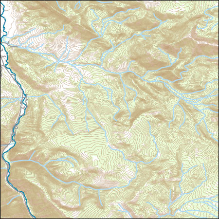
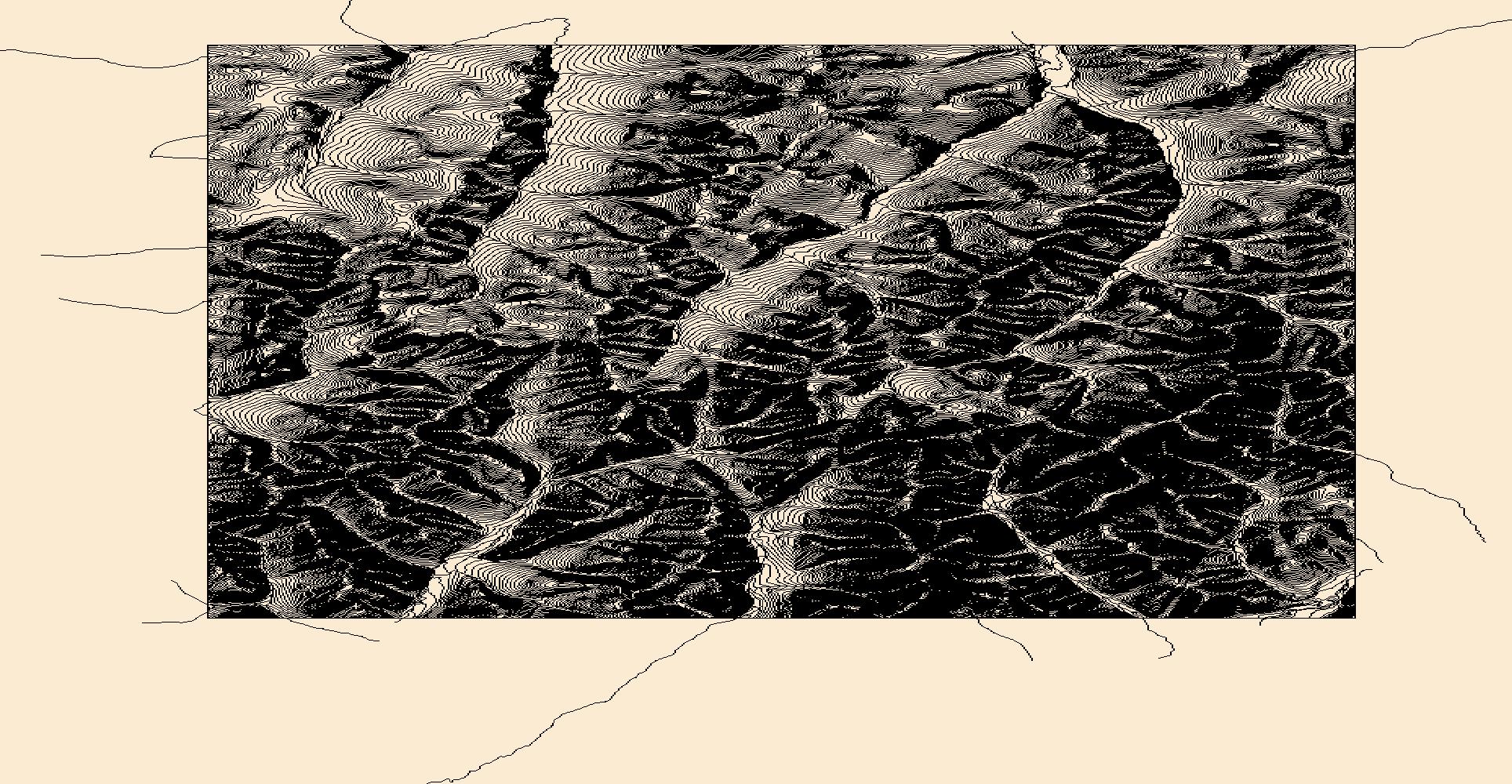
"USDA has purchased a Enterprise Premium license for this Orthoimagery dataset from DigitalGlobe, Inc. Any government, education, not-for-profit agency and public/individuals not engaged in using the "Product for Commercial Exploitation or Commercial Purposes" can use this licensed data. Use of this product for Commercial Purposes by a person/company/organization for a profit or fee is strictly prohibited. Please refer to the separately attached license from DigitalGlobe, Inc. for additional information. Digital orthoimagery combines the image characteristics of a digital image with the geometric qualities of a map. The primary dynamic digital orthophoto is a 60 centimeter ground resolution, image cast to the customer...

"USDA has purchased a Enterprise Premium license for this Orthoimagery dataset from DigitalGlobe, Inc. Any government, education, not-for-profit agency and public/individuals not engaged in using the "Product for Commercial Exploitation or Commercial Purposes" can use this licensed data. Use of this product for Commercial Purposes by a person/company/organization for a profit or fee is strictly prohibited. Please refer to the separately attached license from DigitalGlobe, Inc. for additional information. Digital orthoimagery combines the image characteristics of a digital image with the geometric qualities of a map. The primary dynamic digital orthophoto is a 60 centimeter ground resolution, image cast to the customer...

"USDA has purchased a Enterprise Premium license for this Orthoimagery dataset from DigitalGlobe, Inc. Any government, education, not-for-profit agency and public/individuals not engaged in using the "Product for Commercial Exploitation or Commercial Purposes" can use this licensed data. Use of this product for Commercial Purposes by a person/company/organization for a profit or fee is strictly prohibited. Please refer to the separately attached license from DigitalGlobe, Inc. for additional information. Digital orthoimagery combines the image characteristics of a digital image with the geometric qualities of a map. The primary dynamic digital orthophoto is a 60 centimeter ground resolution, image cast to the customer...
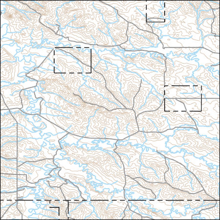
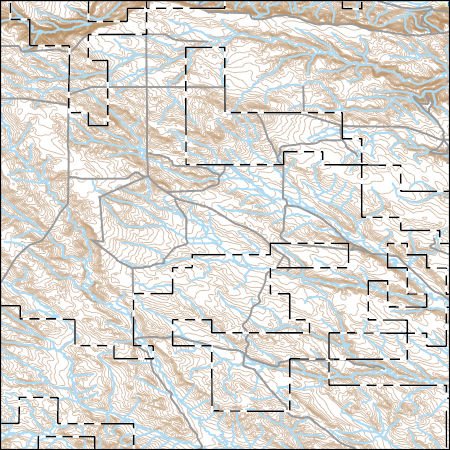
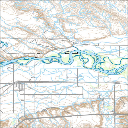
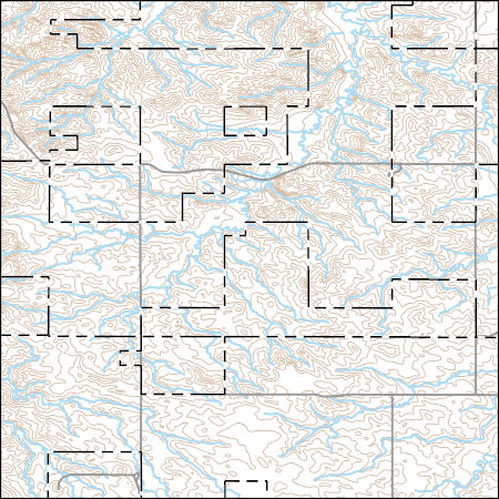
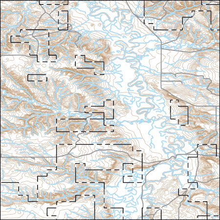
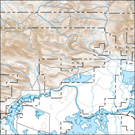
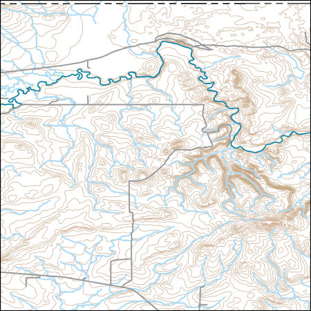
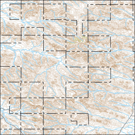
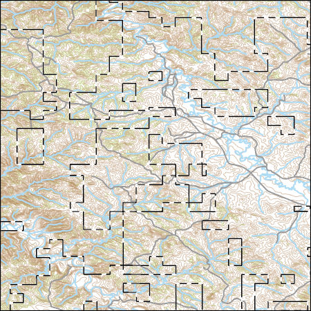
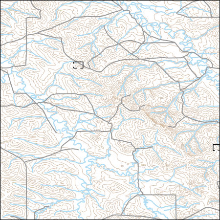
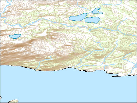
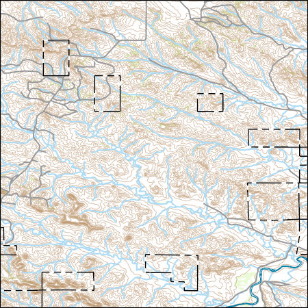
Layers of geospatial data include contours, boundaries, land cover, hydrography, roads, transportation, geographic names, structures, and other selected map features.
Types: Citation;
Tags: 7.5 x 7.5 minute,
7.5 x 7.5 minute,
Carter County,
Combined Vector,
Combined Vector,
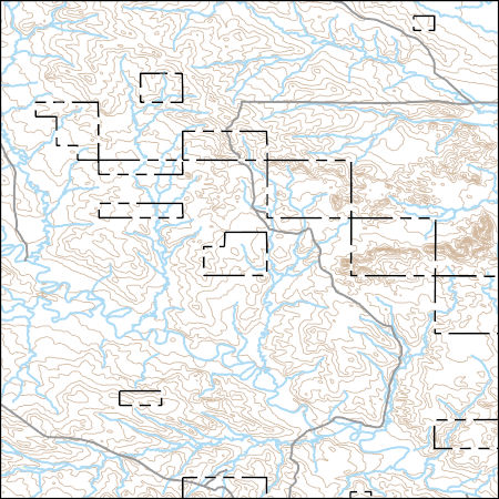
Layers of geospatial data include contours, boundaries, land cover, hydrography, roads, transportation, geographic names, structures, and other selected map features.
Types: Citation;
Tags: 7.5 x 7.5 minute,
7.5 x 7.5 minute,
Combined Vector,
Combined Vector,
Combined Vector,
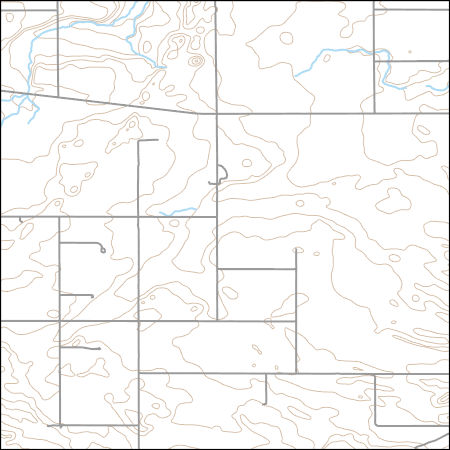
Layers of geospatial data include contours, boundaries, land cover, hydrography, roads, transportation, geographic names, structures, and other selected map features.
Types: Citation;
Tags: 7.5 x 7.5 minute,
7.5 x 7.5 minute,
Blaine County,
Combined Vector,
Combined Vector,
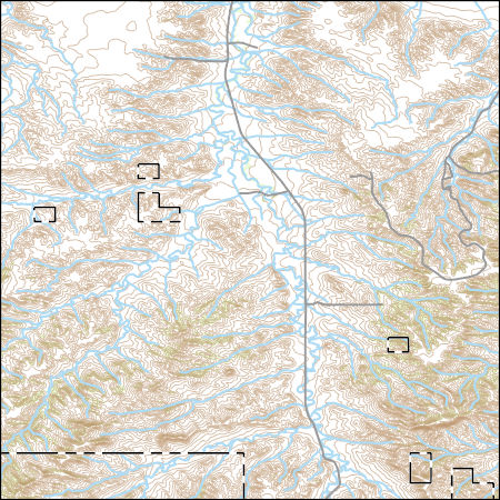
Layers of geospatial data include contours, boundaries, land cover, hydrography, roads, transportation, geographic names, structures, and other selected map features.
Types: Citation;
Tags: 7.5 x 7.5 minute,
7.5 x 7.5 minute,
Combined Vector,
Combined Vector,
Combined Vector,
Layers of geospatial data include contours, boundaries, land cover, hydrography, roads, transportation, geographic names, structures, and other selected map features.
Types: Citation;
Tags: 7.5 x 7.5 minute,
7.5 x 7.5 minute,
Combined Vector,
Combined Vector,
Combined Vector,
Layers of geospatial data include contours, boundaries, land cover, hydrography, roads, transportation, geographic names, structures, and other selected map features.
Types: Citation;
Tags: 7.5 x 7.5 minute,
7.5 x 7.5 minute,
Combined Vector,
Combined Vector,
Combined Vector,
Layers of geospatial data include contours, boundaries, land cover, hydrography, roads, transportation, geographic names, structures, and other selected map features.
Types: Citation;
Tags: 7.5 x 7.5 minute,
7.5 x 7.5 minute,
Combined Vector,
Combined Vector,
Combined Vector,
Layers of geospatial data include contours, boundaries, land cover, hydrography, roads, transportation, geographic names, structures, and other selected map features.
Types: Citation;
Tags: 7.5 x 7.5 minute,
7.5 x 7.5 minute,
Combined Vector,
Combined Vector,
Combined Vector,
Layers of geospatial data include contours, boundaries, land cover, hydrography, roads, transportation, geographic names, structures, and other selected map features.
Types: Citation;
Tags: 7.5 x 7.5 minute,
7.5 x 7.5 minute,
Combined Vector,
Combined Vector,
Combined Vector,
Layers of geospatial data include contours, boundaries, land cover, hydrography, roads, transportation, geographic names, structures, and other selected map features.
Types: Citation;
Tags: 7.5 x 7.5 minute,
7.5 x 7.5 minute,
Beaverhead County,
Combined Vector,
Combined Vector,
Layers of geospatial data include contours, boundaries, land cover, hydrography, roads, transportation, geographic names, structures, and other selected map features.
Types: Citation;
Tags: 7.5 x 7.5 minute,
7.5 x 7.5 minute,
Combined Vector,
Combined Vector,
Combined Vector,
Layers of geospatial data include contours, boundaries, land cover, hydrography, roads, transportation, geographic names, structures, and other selected map features.
Types: Citation;
Tags: 7.5 x 7.5 minute,
7.5 x 7.5 minute,
Combined Vector,
Combined Vector,
Combined Vector,
Layers of geospatial data include contours, boundaries, land cover, hydrography, roads, transportation, geographic names, structures, and other selected map features.
Types: Citation;
Tags: 7.5 x 7.5 minute,
7.5 x 7.5 minute,
Combined Vector,
Combined Vector,
Combined Vector,
Layers of geospatial data include contours, boundaries, land cover, hydrography, roads, transportation, geographic names, structures, and other selected map features.
Types: Citation;
Tags: 7.5 x 7.5 minute,
7.5 x 7.5 minute,
Combined Vector,
Combined Vector,
Combined Vector,
Layers of geospatial data include contours, boundaries, land cover, hydrography, roads, transportation, geographic names, structures, and other selected map features.
Layers of geospatial data include contours, boundaries, land cover, hydrography, roads, transportation, geographic names, structures, and other selected map features.
Layers of geospatial data include contours, boundaries, land cover, hydrography, roads, transportation, geographic names, structures, and other selected map features.
Types: Citation;
Tags: 7.5 x 7.5 minute,
7.5 x 7.5 minute,
Combined Vector,
Combined Vector,
Combined Vector,
|

|
