Filters: Date Range: {"choice":"week"} (X) > Tags: {"scheme":"The National Map Product Format Thesaurus","name":"geopdf"} (X) > partyWithName: U.S. Geological Survey (X)
62 results (195ms)|
Filters
Date Types (for Date Range)
Tags (with Scheme=The National Map Product Format Thesaurus) |
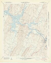
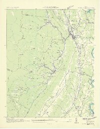
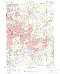
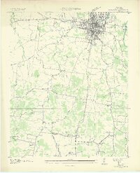
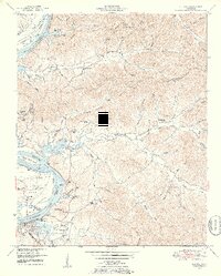
USGS Historical Quadrangle in GeoPDF.
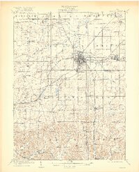
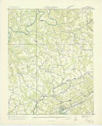
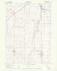
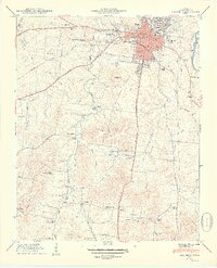
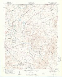
USGS Historical Quadrangle in GeoPDF.
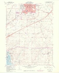
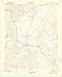
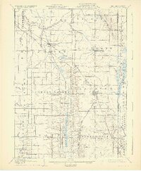
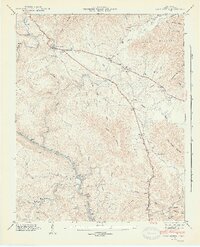
USGS Historical Quadrangle in GeoPDF.
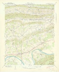
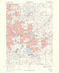
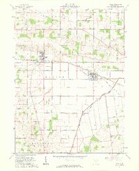
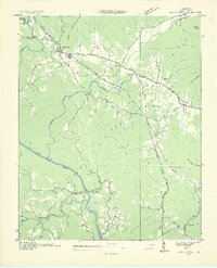
USGS Historical Quadrangle in GeoPDF.
USGS Historical Quadrangle in GeoPDF.
USGS Historical Quadrangle in GeoPDF.
USGS Historical Quadrangle in GeoPDF.
USGS Historical Quadrangle in GeoPDF.
USGS Historical Quadrangle in GeoPDF.
USGS Historical Quadrangle in GeoPDF.
USGS Historical Quadrangle in GeoPDF.
USGS Historical Quadrangle in GeoPDF.
USGS Historical Quadrangle in GeoPDF.
USGS Historical Quadrangle in GeoPDF.

USGS Historical Quadrangle in GeoPDF.
USGS Historical Quadrangle in GeoPDF.
USGS Historical Quadrangle in GeoPDF.
USGS Historical Quadrangle in GeoPDF.
USGS Historical Quadrangle in GeoPDF.

USGS Historical Quadrangle in GeoPDF.
|

|
