Filters
Date Types (for Date Range)
Contacts
Tag Types
Tag Schemes
|
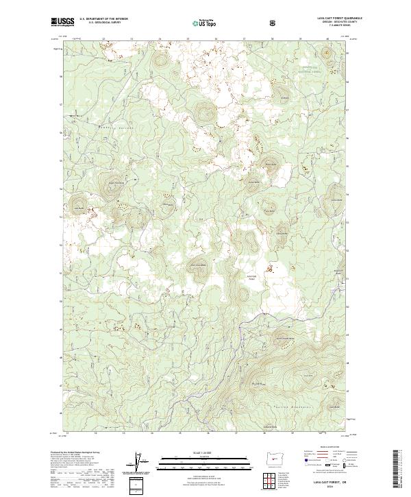
Layered geospatial PDF 7.5 Minute Quadrangle Map. Layers of geospatial data include orthoimagery, roads, grids, geographic names, elevation contours, hydrography, and other selected map features. This map is derived from GIS (geospatial information system) data. It represents a repackaging of GIS data in traditional map form, not creation of new information. The geospatial data in this map are from selected National Map data holdings and other government sources.
Tags: 7.5 x 7.5 minute,
Deschutes County,
Downloadable Data,
EarthCover,
Geospatial PDF, All tags...
Imagery and Base Maps,
Map,
Oregon,
Public Land Survey System,
U.S. National Grid,
US,
US Topo,
US Topo Current,
boundary,
contour,
geographic names,
hydrography,
imageryBaseMapsEarthCover,
orthoimage,
structures,
topographic,
transportation,
woodland, Fewer tags
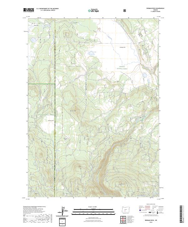
Layered geospatial PDF 7.5 Minute Quadrangle Map. Layers of geospatial data include orthoimagery, roads, grids, geographic names, elevation contours, hydrography, and other selected map features. This map is derived from GIS (geospatial information system) data. It represents a repackaging of GIS data in traditional map form, not creation of new information. The geospatial data in this map are from selected National Map data holdings and other government sources.
Tags: 7.5 x 7.5 minute,
Downloadable Data,
EarthCover,
Geospatial PDF,
Imagery and Base Maps, All tags...
Klamath County,
Lake County,
Map,
Oregon,
Public Land Survey System,
U.S. National Grid,
US,
US Topo,
US Topo Current,
boundary,
contour,
geographic names,
hydrography,
imageryBaseMapsEarthCover,
orthoimage,
structures,
topographic,
transportation,
woodland, Fewer tags
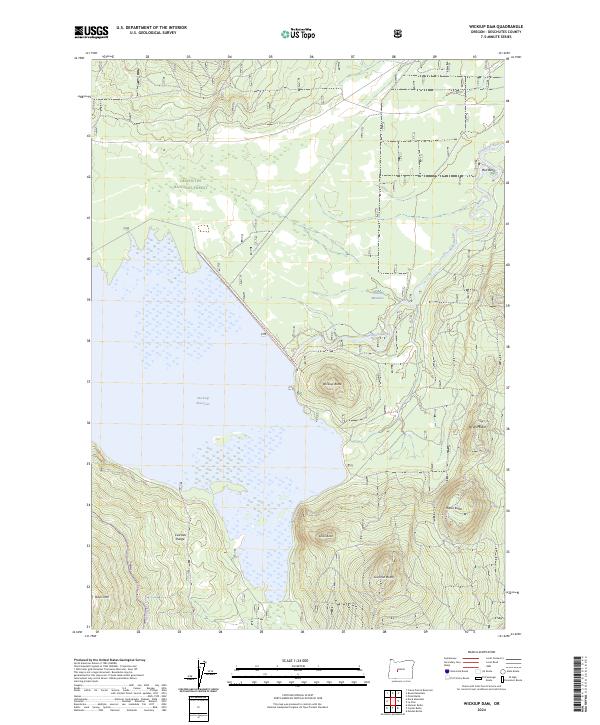
Layered geospatial PDF 7.5 Minute Quadrangle Map. Layers of geospatial data include orthoimagery, roads, grids, geographic names, elevation contours, hydrography, and other selected map features. This map is derived from GIS (geospatial information system) data. It represents a repackaging of GIS data in traditional map form, not creation of new information. The geospatial data in this map are from selected National Map data holdings and other government sources.
Tags: 7.5 x 7.5 minute,
Deschutes County,
Downloadable Data,
EarthCover,
Geospatial PDF, All tags...
Imagery and Base Maps,
Map,
Oregon,
Public Land Survey System,
U.S. National Grid,
US,
US Topo,
US Topo Current,
boundary,
contour,
geographic names,
hydrography,
imageryBaseMapsEarthCover,
orthoimage,
structures,
topographic,
transportation,
woodland, Fewer tags
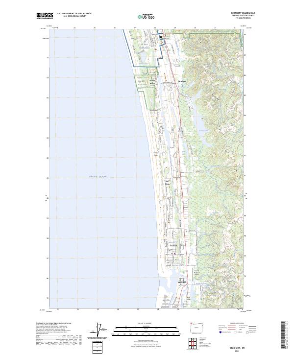
Layered geospatial PDF 7.5 Minute Quadrangle Map. Layers of geospatial data include orthoimagery, roads, grids, geographic names, elevation contours, hydrography, and other selected map features. This map is derived from GIS (geospatial information system) data. It represents a repackaging of GIS data in traditional map form, not creation of new information. The geospatial data in this map are from selected National Map data holdings and other government sources.
Tags: 7.5 x 7.5 minute,
Clatsop County,
Downloadable Data,
EarthCover,
Geospatial PDF, All tags...
Imagery and Base Maps,
Map,
Oregon,
Public Land Survey System,
U.S. National Grid,
US,
US Topo,
US Topo Current,
boundary,
contour,
geographic names,
hydrography,
imageryBaseMapsEarthCover,
orthoimage,
structures,
topographic,
transportation,
woodland, Fewer tags
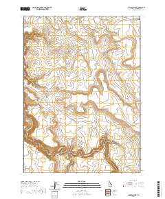
Layered geospatial PDF 7.5 Minute Quadrangle Map. Layers of geospatial data include orthoimagery, roads, grids, geographic names, elevation contours, hydrography, and other selected map features. This map is derived from GIS (geospatial information system) data. It represents a repackaging of GIS data in traditional map form, not creation of new information. The geospatial data in this map are from selected National Map data holdings and other government sources.
Tags: 7.5 x 7.5 minute,
Downloadable Data,
EarthCover,
Geospatial PDF,
Idaho, All tags...
Imagery and Base Maps,
Jarvis Pasture, ID,
Map,
Owyhee County,
Public Land Survey System,
U.S. National Grid,
US,
US Topo,
US Topo Historical,
boundary,
contour,
geographic names,
hydrography,
imageryBaseMapsEarthCover,
orthoimage,
structures,
topographic,
transportation,
woodland, Fewer tags
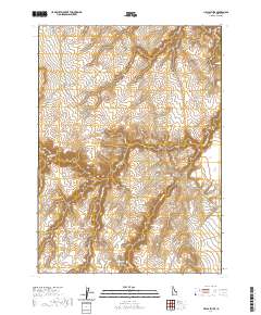
Layered geospatial PDF 7.5 Minute Quadrangle Map. Layers of geospatial data include orthoimagery, roads, grids, geographic names, elevation contours, hydrography, and other selected map features. This map is derived from GIS (geospatial information system) data. It represents a repackaging of GIS data in traditional map form, not creation of new information. The geospatial data in this map are from selected National Map data holdings and other government sources.
Tags: 7.5 x 7.5 minute,
Downloadable Data,
EarthCover,
Geospatial PDF,
Hill Pasture, ID, All tags...
Idaho,
Imagery and Base Maps,
Map,
Owyhee County,
Public Land Survey System,
U.S. National Grid,
US,
US Topo,
US Topo Historical,
boundary,
contour,
geographic names,
hydrography,
imageryBaseMapsEarthCover,
orthoimage,
structures,
topographic,
transportation,
woodland, Fewer tags
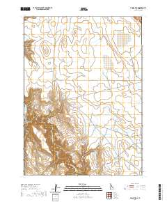
Layered geospatial PDF 7.5 Minute Quadrangle Map. Layers of geospatial data include orthoimagery, roads, grids, geographic names, elevation contours, hydrography, and other selected map features. This map is derived from GIS (geospatial information system) data. It represents a repackaging of GIS data in traditional map form, not creation of new information. The geospatial data in this map are from selected National Map data holdings and other government sources.
Tags: 7.5 x 7.5 minute,
Downloadable Data,
EarthCover,
Geospatial PDF,
Grassy Ridge, ID, All tags...
Idaho,
Imagery and Base Maps,
Map,
Owyhee County,
Public Land Survey System,
U.S. National Grid,
US,
US Topo,
US Topo Historical,
boundary,
contour,
geographic names,
hydrography,
imageryBaseMapsEarthCover,
orthoimage,
structures,
topographic,
transportation,
woodland, Fewer tags
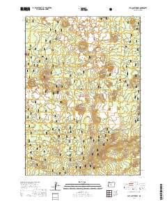
Layered geospatial PDF 7.5 Minute Quadrangle Map. Layers of geospatial data include orthoimagery, roads, grids, geographic names, elevation contours, hydrography, and other selected map features. This map is derived from GIS (geospatial information system) data. It represents a repackaging of GIS data in traditional map form, not creation of new information. The geospatial data in this map are from selected National Map data holdings and other government sources.
Tags: 7.5 x 7.5 minute,
Deschutes County,
Downloadable Data,
EarthCover,
Geospatial PDF, All tags...
Imagery and Base Maps,
Lava Cast Forest, OR,
Map,
Oregon,
Public Land Survey System,
U.S. National Grid,
US,
US Topo,
US Topo Historical,
boundary,
contour,
geographic names,
hydrography,
imageryBaseMapsEarthCover,
orthoimage,
structures,
topographic,
transportation,
woodland, Fewer tags
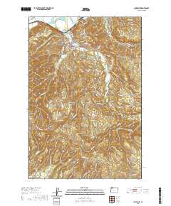
Layered geospatial PDF 7.5 Minute Quadrangle Map. Layers of geospatial data include orthoimagery, roads, grids, geographic names, elevation contours, hydrography, and other selected map features. This map is derived from GIS (geospatial information system) data. It represents a repackaging of GIS data in traditional map form, not creation of new information. The geospatial data in this map are from selected National Map data holdings and other government sources.
Tags: 7.5 x 7.5 minute,
Clatskanie, OR,
Columbia County,
Downloadable Data,
EarthCover, All tags...
Geospatial PDF,
Imagery and Base Maps,
Map,
Oregon,
Public Land Survey System,
U.S. National Grid,
US,
US Topo,
US Topo Historical,
boundary,
contour,
geographic names,
hydrography,
imageryBaseMapsEarthCover,
orthoimage,
structures,
topographic,
transportation,
woodland, Fewer tags
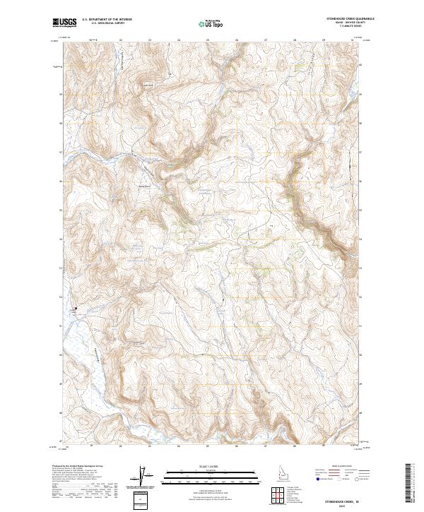
Layered geospatial PDF 7.5 Minute Quadrangle Map. Layers of geospatial data include orthoimagery, roads, grids, geographic names, elevation contours, hydrography, and other selected map features. This map is derived from GIS (geospatial information system) data. It represents a repackaging of GIS data in traditional map form, not creation of new information. The geospatial data in this map are from selected National Map data holdings and other government sources.
Tags: 7.5 x 7.5 minute,
Downloadable Data,
EarthCover,
Geospatial PDF,
Idaho, All tags...
Imagery and Base Maps,
Map,
Owyhee County,
Public Land Survey System,
U.S. National Grid,
US,
US Topo,
US Topo Current,
boundary,
contour,
geographic names,
hydrography,
imageryBaseMapsEarthCover,
orthoimage,
structures,
topographic,
transportation,
woodland, Fewer tags
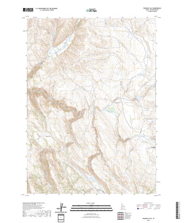
Layered geospatial PDF 7.5 Minute Quadrangle Map. Layers of geospatial data include orthoimagery, roads, grids, geographic names, elevation contours, hydrography, and other selected map features. This map is derived from GIS (geospatial information system) data. It represents a repackaging of GIS data in traditional map form, not creation of new information. The geospatial data in this map are from selected National Map data holdings and other government sources.
Tags: 7.5 x 7.5 minute,
Downloadable Data,
EarthCover,
Geospatial PDF,
Idaho, All tags...
Imagery and Base Maps,
Map,
Owyhee County,
Public Land Survey System,
U.S. National Grid,
US,
US Topo,
US Topo Current,
boundary,
contour,
geographic names,
hydrography,
imageryBaseMapsEarthCover,
orthoimage,
structures,
topographic,
transportation,
woodland, Fewer tags
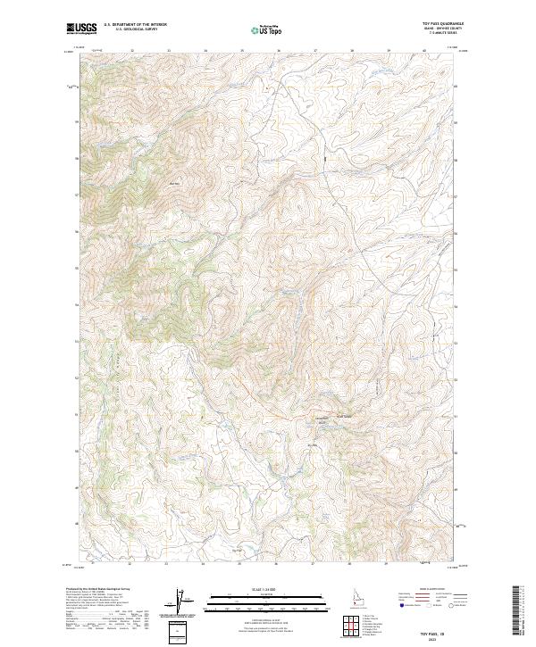
Layered geospatial PDF 7.5 Minute Quadrangle Map. Layers of geospatial data include orthoimagery, roads, grids, geographic names, elevation contours, hydrography, and other selected map features. This map is derived from GIS (geospatial information system) data. It represents a repackaging of GIS data in traditional map form, not creation of new information. The geospatial data in this map are from selected National Map data holdings and other government sources.
Tags: 7.5 x 7.5 minute,
Downloadable Data,
EarthCover,
Geospatial PDF,
Idaho, All tags...
Imagery and Base Maps,
Map,
Owyhee County,
Public Land Survey System,
U.S. National Grid,
US,
US Topo,
US Topo Current,
boundary,
contour,
geographic names,
hydrography,
imageryBaseMapsEarthCover,
orthoimage,
structures,
topographic,
transportation,
woodland, Fewer tags
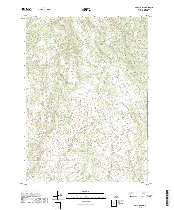
Layered geospatial PDF 7.5 Minute Quadrangle Map. Layers of geospatial data include orthoimagery, roads, grids, geographic names, elevation contours, hydrography, and other selected map features. This map is derived from GIS (geospatial information system) data. It represents a repackaging of GIS data in traditional map form, not creation of new information. The geospatial data in this map are from selected National Map data holdings and other government sources.
Tags: 7.5 x 7.5 minute,
Downloadable Data,
EarthCover,
Geospatial PDF,
Idaho, All tags...
Imagery and Base Maps,
Map,
Owyhee County,
Public Land Survey System,
U.S. National Grid,
US,
US Topo,
US Topo Current,
boundary,
contour,
geographic names,
hydrography,
imageryBaseMapsEarthCover,
orthoimage,
structures,
topographic,
transportation,
woodland, Fewer tags
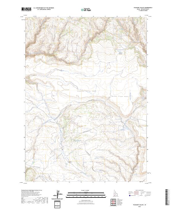
Layered geospatial PDF 7.5 Minute Quadrangle Map. Layers of geospatial data include orthoimagery, roads, grids, geographic names, elevation contours, hydrography, and other selected map features. This map is derived from GIS (geospatial information system) data. It represents a repackaging of GIS data in traditional map form, not creation of new information. The geospatial data in this map are from selected National Map data holdings and other government sources.
Tags: 7.5 x 7.5 minute,
Downloadable Data,
EarthCover,
Geospatial PDF,
Idaho, All tags...
Imagery and Base Maps,
Map,
Owyhee County,
Public Land Survey System,
U.S. National Grid,
US,
US Topo,
US Topo Current,
boundary,
contour,
geographic names,
hydrography,
imageryBaseMapsEarthCover,
orthoimage,
structures,
topographic,
transportation,
woodland, Fewer tags
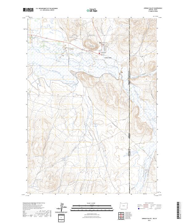
Layered geospatial PDF 7.5 Minute Quadrangle Map. Layers of geospatial data include orthoimagery, roads, grids, geographic names, elevation contours, hydrography, and other selected map features. This map is derived from GIS (geospatial information system) data. It represents a repackaging of GIS data in traditional map form, not creation of new information. The geospatial data in this map are from selected National Map data holdings and other government sources.
Tags: 7.5 x 7.5 minute,
Downloadable Data,
EarthCover,
Geospatial PDF,
Imagery and Base Maps, All tags...
Malheur County,
Map,
Oregon,
Owyhee County,
Public Land Survey System,
U.S. National Grid,
US,
US Topo,
US Topo Current,
boundary,
contour,
geographic names,
hydrography,
imageryBaseMapsEarthCover,
orthoimage,
structures,
topographic,
transportation,
woodland, Fewer tags
Layered geospatial PDF 7.5 Minute Quadrangle Map. Layers of geospatial data include orthoimagery, roads, grids, geographic names, elevation contours, hydrography, and other selected map features. This map is derived from GIS (geospatial information system) data. It represents a repackaging of GIS data in traditional map form, not creation of new information. The geospatial data in this map are from selected National Map data holdings and other government sources.
Tags: 7.5 x 7.5 minute,
Bear Lake County,
Downloadable Data,
EarthCover,
Geospatial PDF, All tags...
Idaho,
Imagery and Base Maps,
Map,
Nounan, ID,
Public Land Survey System,
U.S. National Grid,
US,
US Topo,
US Topo Historical,
boundary,
contour,
geographic names,
hydrography,
imageryBaseMapsEarthCover,
orthoimage,
structures,
topographic,
transportation,
woodland, Fewer tags
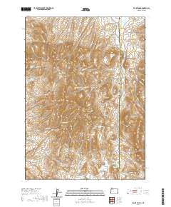
Layered geospatial PDF 7.5 Minute Quadrangle Map. Layers of geospatial data include orthoimagery, roads, grids, geographic names, elevation contours, hydrography, and other selected map features. This map is derived from GIS (geospatial information system) data. It represents a repackaging of GIS data in traditional map form, not creation of new information. The geospatial data in this map are from selected National Map data holdings and other government sources.
Tags: 7.5 x 7.5 minute,
Downloadable Data,
EarthCover,
Geospatial PDF,
Imagery and Base Maps, All tags...
Malheur County,
Map,
Oregon,
Owyhee County,
Parsnip Peak, OR,ID,
Public Land Survey System,
U.S. National Grid,
US,
US Topo,
US Topo Historical,
boundary,
contour,
geographic names,
hydrography,
imageryBaseMapsEarthCover,
orthoimage,
structures,
topographic,
transportation,
woodland, Fewer tags
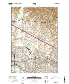
Layered geospatial PDF 7.5 Minute Quadrangle Map. Layers of geospatial data include orthoimagery, roads, grids, geographic names, elevation contours, hydrography, and other selected map features. This map is derived from GIS (geospatial information system) data. It represents a repackaging of GIS data in traditional map form, not creation of new information. The geospatial data in this map are from selected National Map data holdings and other government sources.
Tags: 7.5 x 7.5 minute,
Downloadable Data,
EarthCover,
Geospatial PDF,
Hillsboro, OR, All tags...
Imagery and Base Maps,
Map,
Multnomah County,
Oregon,
Public Land Survey System,
U.S. National Grid,
US,
US Topo,
US Topo Historical,
Washington County,
boundary,
contour,
geographic names,
hydrography,
imageryBaseMapsEarthCover,
orthoimage,
structures,
topographic,
transportation,
woodland, Fewer tags
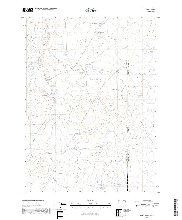
Layered geospatial PDF 7.5 Minute Quadrangle Map. Layers of geospatial data include orthoimagery, roads, grids, geographic names, elevation contours, hydrography, and other selected map features. This map is derived from GIS (geospatial information system) data. It represents a repackaging of GIS data in traditional map form, not creation of new information. The geospatial data in this map are from selected National Map data holdings and other government sources.
Tags: 7.5 x 7.5 minute,
Downloadable Data,
EarthCover,
Geospatial PDF,
Imagery and Base Maps, All tags...
Malheur County,
Map,
Oregon,
Owyhee County,
Public Land Survey System,
U.S. National Grid,
US,
US Topo,
US Topo Current,
boundary,
contour,
geographic names,
hydrography,
imageryBaseMapsEarthCover,
orthoimage,
structures,
topographic,
transportation,
woodland, Fewer tags
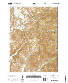
Layered geospatial PDF 7.5 Minute Quadrangle Map. Layers of geospatial data include orthoimagery, roads, grids, geographic names, elevation contours, hydrography, and other selected map features. This map is derived from GIS (geospatial information system) data. It represents a repackaging of GIS data in traditional map form, not creation of new information. The geospatial data in this map are from selected National Map data holdings and other government sources.
Tags: 7.5 x 7.5 minute,
Downloadable Data,
EarthCover,
Franklin County,
Geospatial PDF, All tags...
Idaho,
Imagery and Base Maps,
Map,
Oneida Narrows Reservoir, ID,
Public Land Survey System,
U.S. National Grid,
US,
US Topo,
US Topo Historical,
boundary,
contour,
geographic names,
hydrography,
imageryBaseMapsEarthCover,
orthoimage,
structures,
topographic,
transportation,
woodland, Fewer tags
|
|